Loch Beag

Lake, Pool, Pond, Freshwater Marsh in Ross-shire

Scotland

Loch Beag

Gob Geòdha nam Bradan
Gob Geòdha nam Bradan Credit: Sandy Gerrard

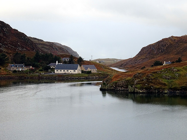
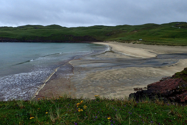
Loch Beag is a scenic freshwater lake located in the county of Ross-shire, in the Highlands of Scotland. It is a small yet picturesque body of water, often referred to as a loch due to its size and natural beauty. The name "Beag" translates to "small" in Gaelic, aptly reflecting its size.

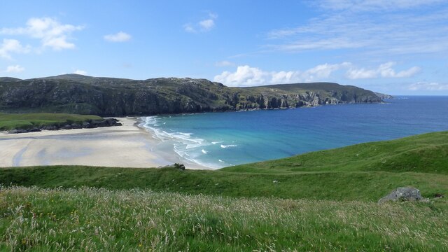
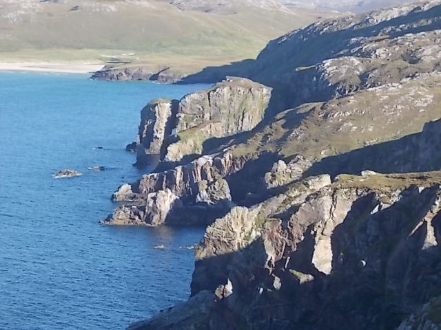
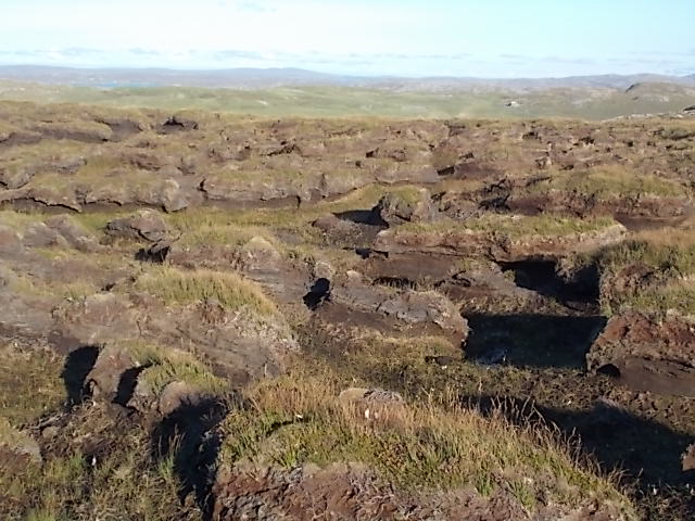
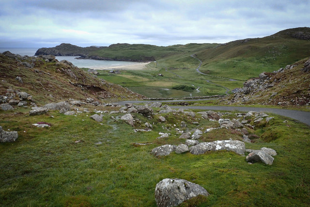
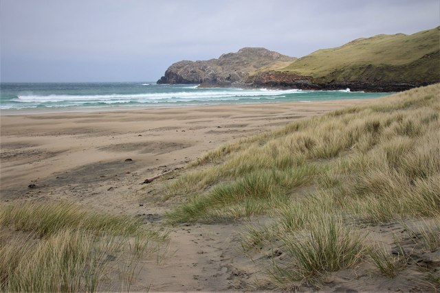
Covering an area of approximately 0.2 square kilometers, Loch Beag is nestled amidst rolling green hills and surrounded by lush vegetation. It is a popular destination for nature enthusiasts and tourists seeking tranquility and natural beauty. The lake is characterized by crystal-clear waters that reflect the surrounding landscape, creating a serene and peaceful atmosphere.

Loch Beag is home to a diverse range of flora and fauna, including various species of waterfowl, such as ducks and swans, which can often be spotted gliding gracefully across the lake's surface. The surrounding area features an array of vibrant plant life, including reeds, grasses, and wildflowers, adding to the overall beauty of the location.

Visitors to Loch Beag can enjoy a range of activities, including fishing, boating, and birdwatching. The lake is known for its abundance of brown trout, making it a popular spot for anglers seeking a peaceful fishing experience. Additionally, the tranquil surroundings make it an ideal location for birdwatching, with many species of birds making their home in the area.

Overall, Loch Beag offers a serene and picturesque natural setting, perfect for those looking to escape the hustle and bustle of everyday life and immerse themselves in the beauty of the Scottish Highlands.

If you have any feedback on the listing, please let us know in the comments section below.

Loch Beag Images

Images are sourced within 2km of 58.217106/-6.9836975 or Grid Reference NB0736. Thanks to Geograph Open Source API. All images are credited.

Gob Geòdha nam Bradan
Sheepfold at Tobha Mòr
The settlement at Miavaig/Miabhaig Viewed across Loch Miabhaig.
The settlement at Miavaig/Miabhaig
Viewed across Loch Miabhaig.
Rubha Brataig Despite being adjacent to the tallest and steepest cliffs in Lewis, one can access these rocks in calm weather, a good pollack mark, but a very steep walk back up!
Rubha Brataig
Despite being adjacent to the tallest and steepest cliffs in Lewis, one can access these rocks in calm weather, a good pollack mark, but a very steep walk back up!
South west edge of Camas na Clibhe Looking back to Clibhe beach and coastline from Rubha Brataig
South west edge of Camas na Clibhe
Looking back to Clibhe beach and coastline from Rubha Brataig
Peat hags Stay up slope as much as you can to avoid walking through this "moonscape". A line from the end of Loch Deireadh Banaig to Rubha Mor should avoid the worst but not all, tough walking!
Peat hags
Stay up slope as much as you can to avoid walking through this "moonscape". A line from the end of Loch Deireadh Banaig to Rubha Mor should avoid the worst but not all, tough walking!
Bus shelter, Miabhaig, Isle of Lewis Looking along the course of the B8011, a footpath and the Abhainn a' Ghlinne along Gleann Bhaltois.

The Lewis bus shelter is designed to provide protection whichever way the wind is blowing.  This example has gained a piece of artwork by Janie Nicoll (<span class="nowrap"><a title="http://www.janienicoll.co.uk/artworks-2016.html" rel="nofollow ugc noopener" href="http://www.janienicoll.co.uk/artworks-2016.html">Link</a><img style="margin-left:2px;" alt="External link" title="External link - shift click to open in new window" src="https://s1.geograph.org.uk/img/external.png" width="10" height="10"/></span> ) since it was visited by Peter in 2014: <a href="https://www.geograph.org.uk/photo/4017964">NB0834 : Lewis style bus shelter (ii)</a>.
Bus shelter, Miabhaig, Isle of Lewis
Looking along the course of the B8011, a footpath and the Abhainn a' Ghlinne along Gleann Bhaltois. The Lewis bus shelter is designed to provide protection whichever way the wind is blowing. This example has gained a piece of artwork by Janie Nicoll (LinkExternal link ) since it was visited by Peter in 2014: NB0834 : Lewis style bus shelter (ii).
Gleann Gruide Batail
Re-entrant between Druim an Rathaid and Bide Ruadh
Remains of a mill, Allt Tota Pallair A small dry stone wall built across the burn, with an old millstone.
Remains of a mill, Allt Tota Pallair
A small dry stone wall built across the burn, with an old millstone.
Remains of a mill, Allt Tota Pallair A small dry stone wall built across the burn, with an old millstone.
Remains of a mill, Allt Tota Pallair
A small dry stone wall built across the burn, with an old millstone.
Loch Sgailleir
Loch Sgailleir
Tràigh na Clibhe
Tràigh na Clibhe
Summit cairn, Seuchaval
Gleann Bhaltois at Miabhaig
Loch Sgailleir
Loch Sgailleir
Tràigh na Clibhe
Tràigh na Clibhe
Tràigh na Clibhe
Tràigh na Clibhe
Show me another place!

Loch Beag is located at Grid Ref: NB0736 (Lat: 58.217106, Lng: -6.9836975)

Unitary Authority: Na h-Eileanan an Iar

Police Authority: Highlands and Islands

What 3 Words

///mergers.cupboards.telephone. Near Carloway, Na h-Eileanan Siar

Related Wikis

Cliff, Lewis

Cliff (Scottish Gaelic: Cliobh) is a small settlement on the Isle of Lewis, in the Outer Hebrides, Scotland. Cliff is within the parish of Uig. The settlement...

Kneep

Kneep (Scottish Gaelic: Cnìp) is a village on the Isle of Lewis, in the Outer Hebrides, Scotland. Kneep is within the parish of Uig. Various archaeological...

Camas Uig

Camas Uig (Uig Bay) is a bay on the west coast of the Isle of Lewis, in the Outer Hebrides of Scotland. The bay contains a variety of small islets including...

Aird Uig

Aird Uig (Scottish Gaelic: Àird Ùig) is a village on the Isle of Lewis, in the Outer Hebrides, Scotland. Aird Uig is within the parish of Uig, and is situated...

Nearby Amenities

Located within 500m of 58.217106,-6.9836975
The data included in this document is from www.openstreetmap.org. The data is made available under ODbL.

Have you been to Loch Beag?

Leave your review of Loch Beag below (or comments, questions and feedback).