Loch Shaavat

Lake, Pool, Pond, Freshwater Marsh in Inverness-shire

Scotland

Loch Shaavat

Taransay - View from top of Neishnaval Loch na Moine is in the mid foreground with the north and south sandy bays that separate west and east Taransay beyond. Taransay's Marilyn top, Beinn Ra, 267m is on the right skyline with the hills of South Harris to the left
Taransay - View from top of Neishnaval Credit: Peter Standing

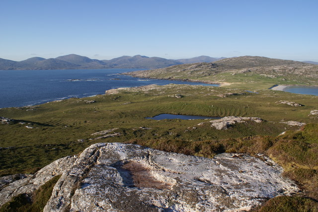
Loch Shaavat is a freshwater loch located in Inverness-shire, Scotland. It is situated in a picturesque and serene setting, surrounded by the breathtaking scenery of the Scottish Highlands. This body of water is often referred to as a lake, pool, pond, or freshwater marsh due to its diverse characteristics.

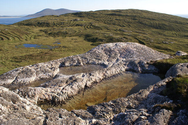
The loch covers an area of approximately 1 square kilometer, making it relatively small compared to other lochs in the region. Its depth varies throughout, with some areas measuring only a few meters deep, while others reach depths of up to 10 meters. The water in Loch Shaavat is crystal clear and has a blue-green hue, reflecting the surrounding landscape.

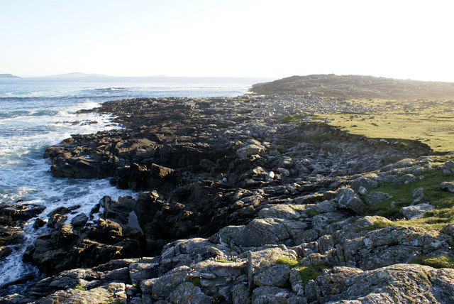
The loch is home to a variety of flora and fauna, making it an important ecological site. The shores of Loch Shaavat are fringed with reeds and rushes, creating a habitat for numerous bird species, including ducks, swans, and herons. The surrounding woodland provides cover for small mammals such as otters and deer.

Fishing enthusiasts are drawn to Loch Shaavat due to its abundant stocks of trout and salmon. Anglers can be seen casting their lines from the banks or venturing out onto the water in small boats. The peacefulness of the loch also makes it a popular spot for kayaking and canoeing.

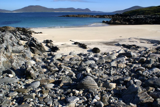
Visitors to Loch Shaavat can take advantage of the nearby walking trails that offer stunning views of the surrounding mountains and glens. The tranquility and natural beauty of Loch Shaavat make it an ideal destination for nature lovers and those seeking a peaceful retreat in the heart of the Scottish Highlands.

If you have any feedback on the listing, please let us know in the comments section below.
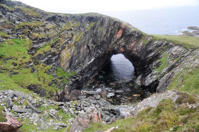
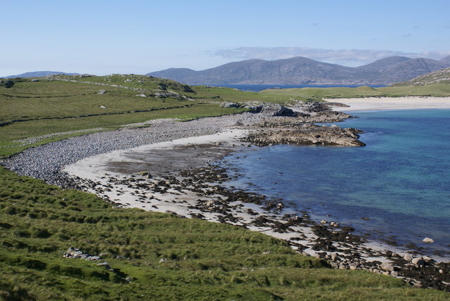
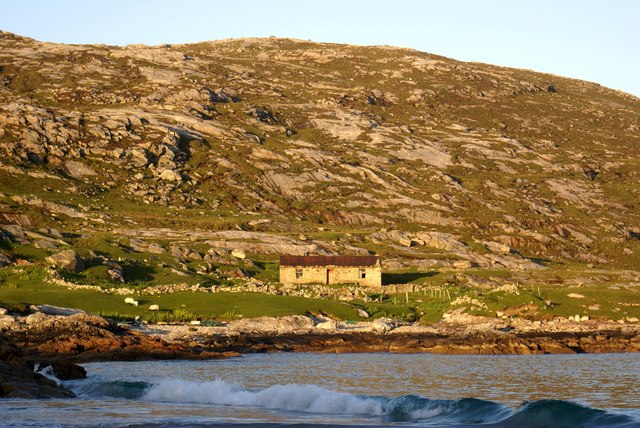
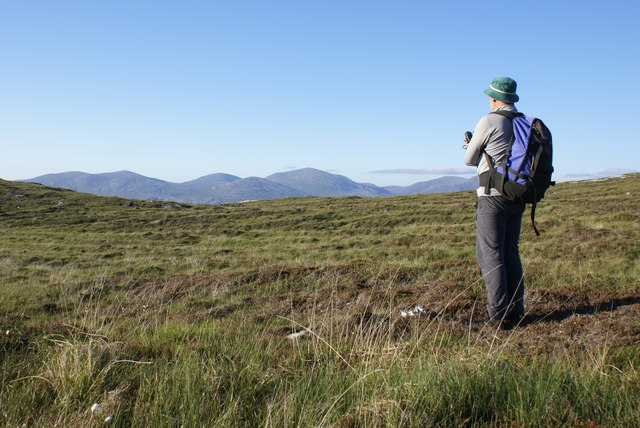
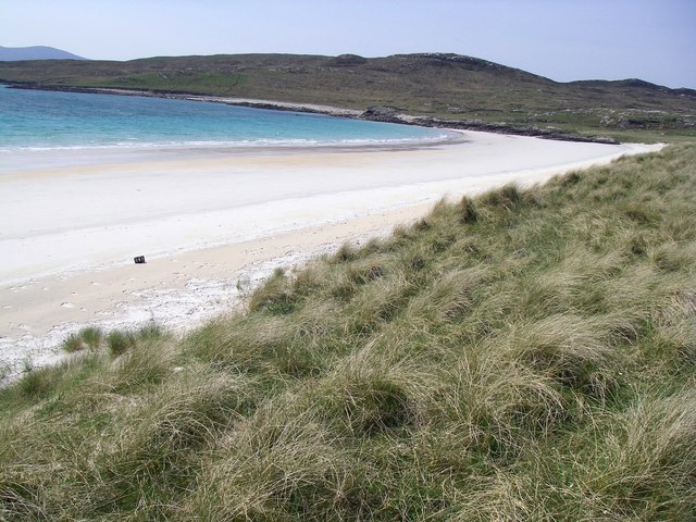
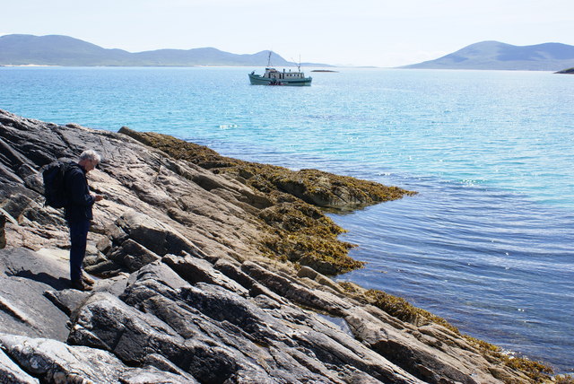
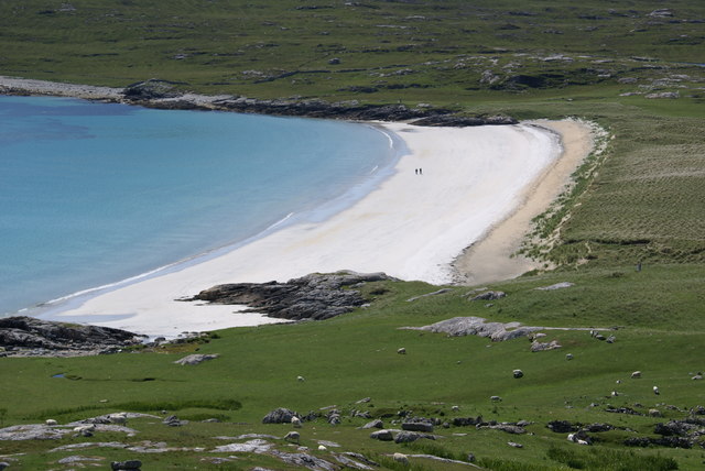
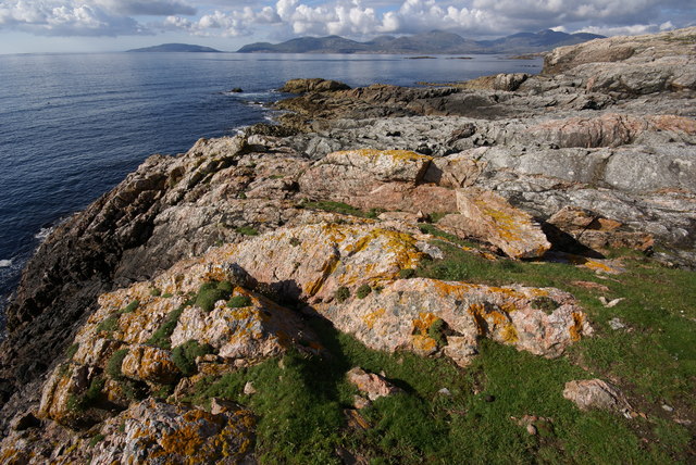
Loch Shaavat Images

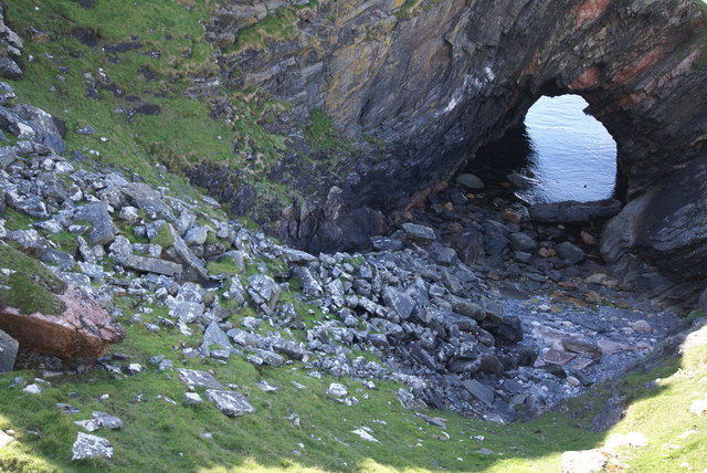
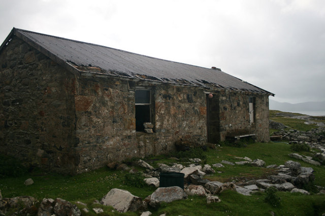
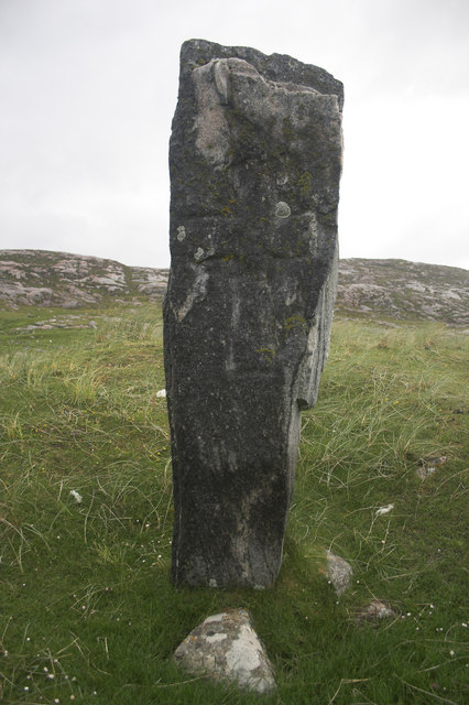
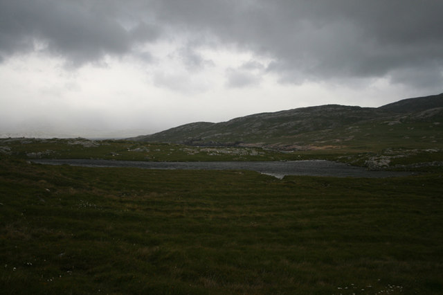
Images are sourced within 2km of 57.885961/-7.0665424 or Grid Reference NF9999. Thanks to Geograph Open Source API. All images are credited.

Taransay - View from top of Neishnaval Loch na Moine is in the mid foreground with the north and south sandy bays that separate west and east Taransay beyond. Taransay's Marilyn top, Beinn Ra, 267m is on the right skyline with the hills of South Harris to the left
Taransay - View from top of Neishnaval
Loch na Moine is in the mid foreground with the north and south sandy bays that separate west and east Taransay beyond. Taransay's Marilyn top, Beinn Ra, 267m is on the right skyline with the hills of South Harris to the left
Taransay - Coast at An Caigeal Looking towards Magasgeir
Taransay - Coast at An Caigeal
Looking towards Magasgeir
Taransay - Buaileabhal from Ard Mhanais The Lewisian Gneiss summit of Ard Mhanais looks over to Loch Shavaat, peat cuttings and the top of Buailebhal. The South Harris peak of Ceapabhal can be seen in the distance.
Taransay - Buaileabhal from Ard Mhanais
The Lewisian Gneiss summit of Ard Mhanais looks over to Loch Shavaat, peat cuttings and the top of Buailebhal. The South Harris peak of Ceapabhal can be seen in the distance.
Taransay - Secluded Beach This fine beach lies near the SW tip of West Taransay with lovely views across the Sound of Taransay to the hill of South Harris
Taransay - Secluded Beach
This fine beach lies near the SW tip of West Taransay with lovely views across the Sound of Taransay to the hill of South Harris
Natural Arch Taransay Taransay is an Island off the SW Coast of the Isle of Harris
Natural Arch Taransay
Taransay is an Island off the SW Coast of the Isle of Harris
Mol Vatasater Beach and old field systems on the west side of the sea Loch na h-Uidhe.  The hills of North Harris form the skyline.
Mol Vatasater
Beach and old field systems on the west side of the sea Loch na h-Uidhe. The hills of North Harris form the skyline.
Taransay - Loch na h-Uidhe This bothy lies east of the fine beach and is close to a popular anchorage spot
Taransay - Loch na h-Uidhe
This bothy lies east of the fine beach and is close to a popular anchorage spot
Zero Point at NB000000 NB000000 in the western part of Taransay is one of the 22 land based zero points of the OS grid in Scotland, England & Wales. The point is largely heather but the four squares around it NB0000, NG0099, NF9999 and NA9900 contain many interesting and beautiful features.
Zero Point at NB000000
NB000000 in the western part of Taransay is one of the 22 land based zero points of the OS grid in Scotland, England & Wales. The point is largely heather but the four squares around it NB0000, NG0099, NF9999 and NA9900 contain many interesting and beautiful features.
The Golden Beach of Loch na h-Uidhe, Taransay Taken on a glorious day at the end of May, 2008, on a kayaking trip to Taransay.
The Golden Beach of Loch na h-Uidhe, Taransay
Taken on a glorious day at the end of May, 2008, on a kayaking trip to Taransay.
Loch na h-Uidhe, Taransay South Harris in the background
Loch na h-Uidhe, Taransay
South Harris in the background
Taransay Beach Loch na h-Uidhe
Taransay Beach
Loch na h-Uidhe
Roagh, Taransay View towards Scarp and South Harris from the coastline just north of the sea cave.
Roagh, Taransay
View towards Scarp and South Harris from the coastline just north of the sea cave.
Cave and Natural Arch, Taransay This fine feature is at Roagh a kilometre west of the Taransay beaches.
Cave and Natural Arch, Taransay
This fine feature is at Roagh a kilometre west of the Taransay beaches.
Uidhe Bothy, Taransay
Clach an Teampuill Standing stone near Uidhe
Clach an Teampuill
Standing stone near Uidhe
Tràigh a Siar, Taransay West Beach, Taransay - taken from its easternmost end, just within this grid square and looking into the next square (NB 0000).
Tràigh a Siar, Taransay
West Beach, Taransay - taken from its easternmost end, just within this grid square and looking into the next square (NB 0000).
Loch Starabraigh, Taransay
West of Rubha Ruadh Remains of old sheiling and field system with the Sound of Harris and Bleaval in the background
West of Rubha Ruadh
Remains of old sheiling and field system with the Sound of Harris and Bleaval in the background
Show me another place!

Loch Shaavat is located at Grid Ref: NF9999 (Lat: 57.885961, Lng: -7.0665424)

Unitary Authority: Na h-Eileanan an Iar

Police Authority: Highlands and Islands

What 3 Words

///polka.worksheet.feathers. Near Leverburgh, Na h-Eileanan Siar

Related Wikis

Taransay

Taransay (Scottish Gaelic: Tarasaigh, pronounced [ˈt̪ʰaɾas̪aj]) is an island in the Outer Hebrides of Scotland. It was the host of the British television...

Borve, Harris

Borve (Scottish Gaelic: Na Buirgh) is a village in Harris in the Outer Hebrides, Scotland. Borve is also within the parish of Harris, and is on the A859...

Luskentyre

Luskentyre (Scottish Gaelic: Losgaintir) is a sparse settlement on the west coast of Harris, in the Outer Hebrides, Scotland. Luskentyre is situated within...

Soay Beag

Soay Beag (Scottish Gaelic: Sòdhaigh Beag) is a small, uninhabited tidal island in West Loch Tarbert, between the northern and southern parts of Harris...

Nearby Amenities

Located within 500m of 57.885961,-7.0665424
Buaileabhal
Ele: 99
Natural: peak
Lat/Long: 57.8833213/-7.0725326
The data included in this document is from www.openstreetmap.org. The data is made available under ODbL.

Have you been to Loch Shaavat?

Leave your review of Loch Shaavat below (or comments, questions and feedback).