Loch a' Chlàir

Lake, Pool, Pond, Freshwater Marsh in Argyllshire

Scotland

Loch a' Chlàir

Tiree filling station By the shop at Crossapol.
Tiree filling station Credit: Richard Webb

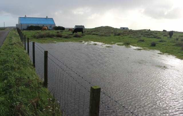
Loch a' Chlàir is a picturesque freshwater loch located in Argyllshire, Scotland. It is nestled amidst the serene and breathtaking landscape of the region, making it a popular destination for nature enthusiasts and tourists alike.

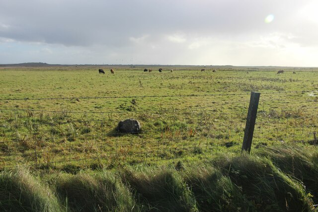
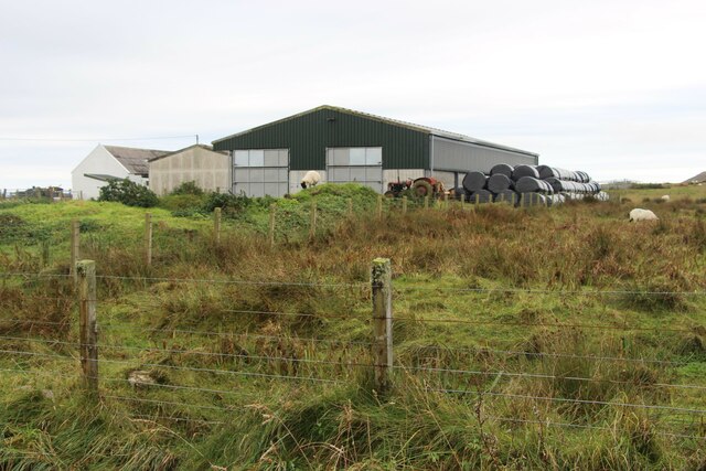
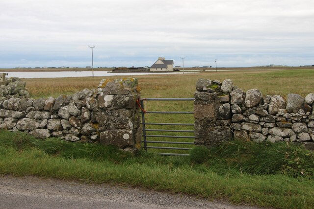
Covering an area of approximately 10 hectares, Loch a' Chlàir is a relatively small body of water, making it ideal for peaceful walks and leisure activities. The loch is surrounded by lush greenery, including native Scottish trees and shrubs, which add to its natural charm.

The water of Loch a' Chlàir is incredibly clear and pristine, reflecting the surrounding scenery like a mirror. It is fed by several small streams and springs, ensuring a constant flow of freshwater throughout the year. The loch is known for its diverse aquatic wildlife, including various fish species, such as brown trout and perch, making it a popular spot for fishing enthusiasts.

The shores of Loch a' Chlàir are home to an array of plant and bird species, creating a haven for birdwatchers and botany enthusiasts. The surrounding area also features a freshwater marsh, providing a unique habitat for wetland plants and animals.

Visitors to Loch a' Chlàir can enjoy a range of activities, including fishing, boating, and picnicking. The tranquil atmosphere and stunning natural surroundings make it an ideal location for relaxation and unwinding.

In conclusion, Loch a' Chlàir is a beautiful and peaceful freshwater loch in Argyllshire, offering visitors a chance to immerse themselves in the beauty of Scotland's natural landscape and observe its diverse wildlife.

If you have any feedback on the listing, please let us know in the comments section below.

Loch a' Chlàir Images

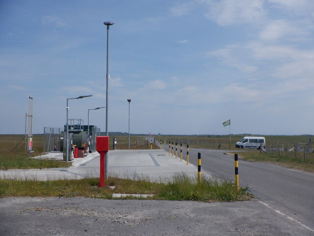
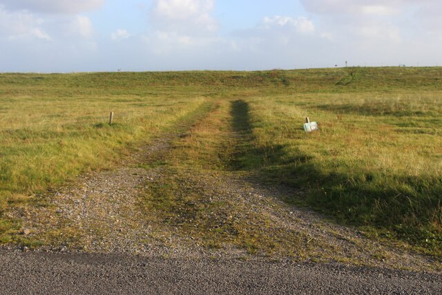
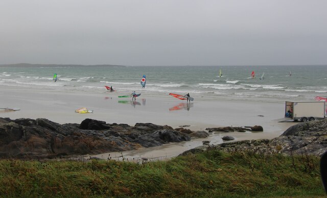
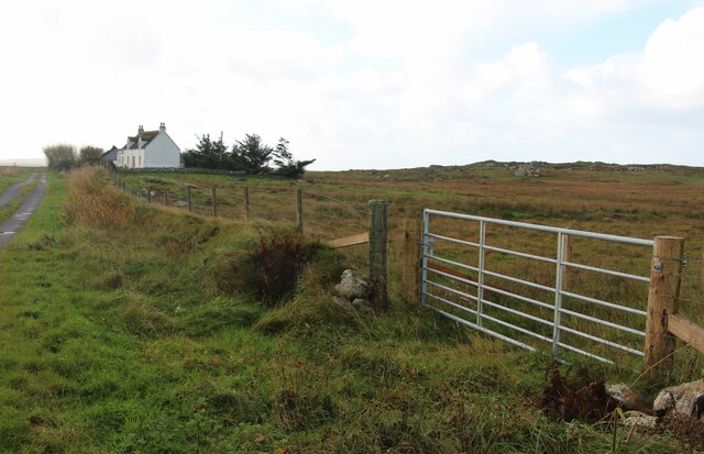
Images are sourced within 2km of 56.494807/-6.9026875 or Grid Reference NL9844. Thanks to Geograph Open Source API. All images are credited.

Tiree filling station By the shop at Crossapol.
Tiree filling station
By the shop at Crossapol.
Track to the beach at Crossapol
Surfers at Traigh Bhaigh
Trees on Tiree As many as you are likely to find.
Trees on Tiree
As many as you are likely to find.
After the downpour A flooded field.
After the downpour
A flooded field.
Tiree aerodrome, the perimeter
Farm buildings at Heylipol
Island House, Crossapol
Playground and housing, Crossapol
Newsagent and Licensed Grocer in Crossapol As far as I could establish the only newsagent on Tiree.  The papers come in on the plane, so you get them just after lunch.  There is no plane on Sunday, so double paper ration on Monday.
Newsagent and Licensed Grocer in Crossapol
As far as I could establish the only newsagent on Tiree. The papers come in on the plane, so you get them just after lunch. There is no plane on Sunday, so double paper ration on Monday.
Mystery object on Traigh Bhagh Rocky outcropt on the beach, with the dunes and Crossapol in the background.
Mystery object on Traigh Bhagh
Rocky outcropt on the beach, with the dunes and Crossapol in the background.
Loch an Eilein The house, Island House, stands on what was the island in the loch.  It has been suggested that island was a crannog, and in the 15th century a fortified castle stood on the island.  The current house was built in 1748 by the Earl of Argyll, and is now owned by the Duke of Argyll.
Loch an Eilein
The house, Island House, stands on what was the island in the loch. It has been suggested that island was a crannog, and in the 15th century a fortified castle stood on the island. The current house was built in 1748 by the Earl of Argyll, and is now owned by the Duke of Argyll.
Moorland in the middle of Tiree There is a fair amount of this kind of terrain away from the coast on Tiree.  Long tussocky grass, interspersed with a fair amunt of the wet water, but then it has been wet lately.
Moorland in the middle of Tiree
There is a fair amount of this kind of terrain away from the coast on Tiree. Long tussocky grass, interspersed with a fair amunt of the wet water, but then it has been wet lately.
Grassy moorland A look at the 1:50000 does suggest that it's going to be pretty flat.
Grassy moorland
A look at the 1:50000 does suggest that it's going to be pretty flat.
Grassland near Kilmoluaig Drier ground near the croft house here.  Beinn Hough seen in the distance.
Grassland near Kilmoluaig
Drier ground near the croft house here. Beinn Hough seen in the distance.
Cows grazing on The Reef Although there are cows grazing, The Reef is largely occupied by Tiree airport.
Cows grazing on The Reef
Although there are cows grazing, The Reef is largely occupied by Tiree airport.
Airport complex Tiree Taken at the main entrance, the red building in the background is the control tower.
Airport complex Tiree
Taken at the main entrance, the red building in the background is the control tower.
Crofting land near Heylipol Cattle grazing in the field, and there were loads of geese!  The waterway looks like drainage as it is suspiciously straight.
Crofting land near Heylipol
Cattle grazing in the field, and there were loads of geese! The waterway looks like drainage as it is suspiciously straight.
Show me another place!

Loch a' Chlàir is located at Grid Ref: NL9844 (Lat: 56.494807, Lng: -6.9026875)

Unitary Authority: Argyll and Bute

Police Authority: Argyll and West Dunbartonshire

What 3 Words

///hiker.socket.casually. Near Scarinish, Argyll & Bute

Nearby Locations

Loch a' Chlàir

Related Wikis

Tiree Music Festival

Tiree Music Festival is a Scottish folk music festival held annually on the Island of Tiree in the Inner Hebrides. The festival was founded in 2010 by...
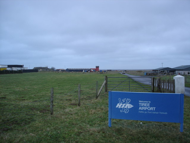
Tiree Airport

Tiree Airport (Scottish Gaelic: Port-adhair Thiriodh) (IATA: TRE, ICAO: EGPU) is located 2.5 nautical miles (4.6 km; 2.9 mi) north northeast of Balemartine...

Mannal

Mannal is a coastal hamlet on the west side of Hynish Bay, on the island of Tiree, Scotland. The township of Mannal lies on the southwest corner of Tiree...

Tiree

Tiree (; Scottish Gaelic: Tiriodh, pronounced [ˈtʲʰiɾʲəɣ]) is the most westerly island in the Inner Hebrides of Scotland. The low-lying island, southwest...

Nearby Amenities

Located within 500m of 56.494807,-6.9026875
Barrier: cattle_grid
Lat/Long: 56.4965297/-6.9100999
Passing Place
Lat/Long: 56.4947311/-6.9095907
Passing Place
Lat/Long: 56.4921577/-6.90846
Power: pole
Lat/Long: 56.4906297/-6.9035313
Power: pole
Lat/Long: 56.4911095/-6.9023672
Power: pole
Lat/Long: 56.4916159/-6.9011334
Power: pole
Lat/Long: 56.492072/-6.9000095
Power: pole
Lat/Long: 56.4925147/-6.8989339
Power: pole
Lat/Long: 56.4929915/-6.8977645
Power: pole
Lat/Long: 56.4934742/-6.8965817
Power: pole
Lat/Long: 56.493874/-6.8955892
The data included in this document is from www.openstreetmap.org. The data is made available under ODbL.

Have you been to Loch a' Chlàir?

Leave your review of Loch a' Chlàir below (or comments, questions and feedback).