Loch Rumalach
Lake, Pool, Pond, Freshwater Marsh in Inverness-shire
Scotland
Loch Rumalach
The requested URL returned error: 429 Too Many Requests
If you have any feedback on the listing, please let us know in the comments section below.
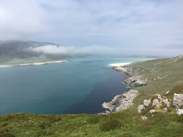
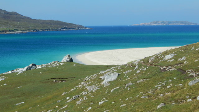
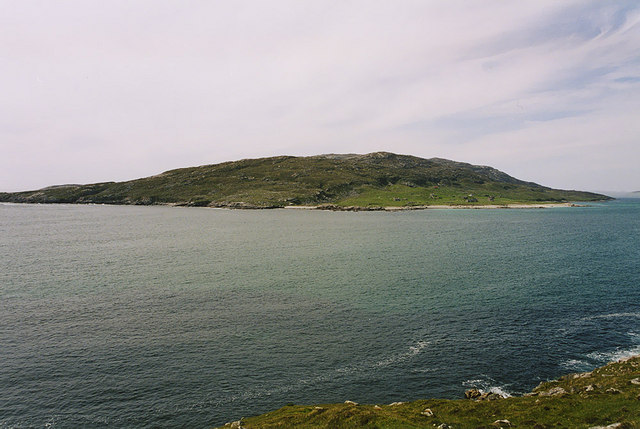
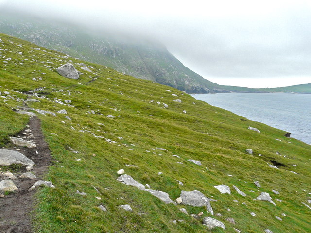
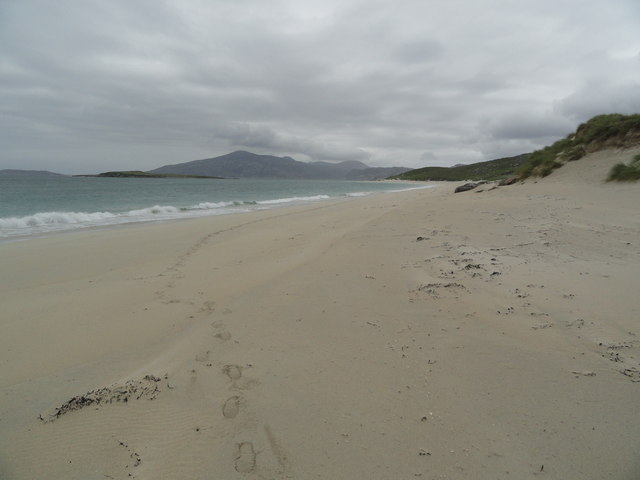
Loch Rumalach Images
Images are sourced within 2km of 58.018787/-7.1170275 or Grid Reference NA9714. Thanks to Geograph Open Source API. All images are credited.


Loch Rumalach is located at Grid Ref: NA9714 (Lat: 58.018787, Lng: -7.1170275)
Unitary Authority: Na h-Eileanan an Iar
Police Authority: Highlands and Islands
What 3 Words
///scorching.goad.boring. Near Tarbert, Na h-Eileanan Siar
Nearby Locations
Related Wikis

Scarp, Scotland
Scarp (Scottish Gaelic: An Sgarp) is an uninhabited island in the Outer Hebrides of Scotland, west of Hushinish on Harris. Once inhabited, the island was...

Hushinish
Huisinish or Hushinish (Scottish Gaelic Hùisinis) is a remote place on the west coast of Harris in the Outer Hebrides of Scotland. It lies at the end of...

Eilean Mhealasta
Eilean Mhealasta (Mealista Island) is an uninhabited island off the west coast of Lewis in the Outer Hebrides of Scotland. It takes its name from Mealista...

Tiorga Mor
Tiorga Mor (679 m) is a mountain in Harris, in the Outer Hebrides of Scotland. The most westerly peak of the high mountains of Harris, it is a very rugged...
Have you been to Loch Rumalach?
Leave your review of Loch Rumalach below (or comments, questions and feedback).