Loch a' Gheàdais

Lake, Pool, Pond, Freshwater Marsh in Inverness-shire

Scotland

Loch a' Gheàdais

A burn drains the southeast side of Eabhal Islands litter the east coast waters off Uist
A burn drains the southeast side of Eabhal Credit: Alan Reid

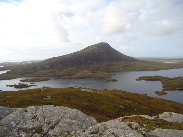
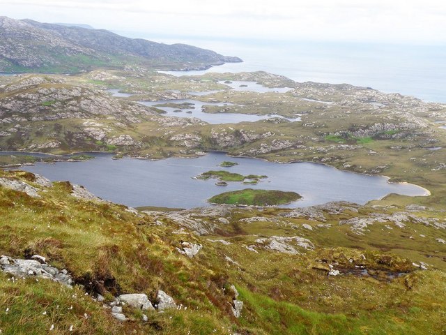
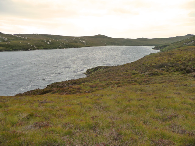
Loch a' Gheàdais is a picturesque freshwater loch located in Inverness-shire, Scotland. Nestled amidst the breathtaking Scottish Highlands, this natural water body is a popular destination for nature lovers and outdoor enthusiasts alike.

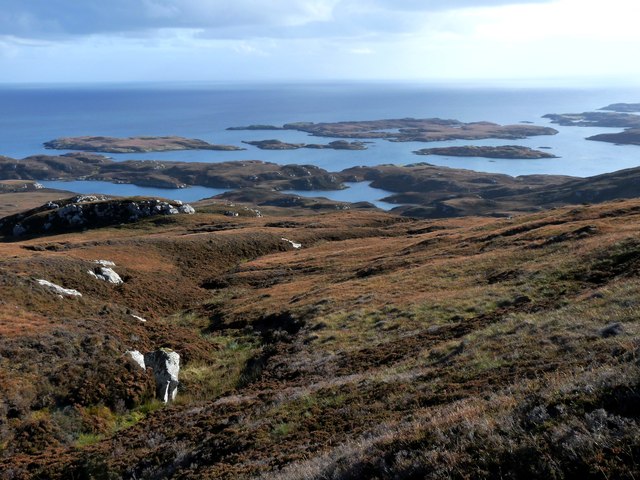
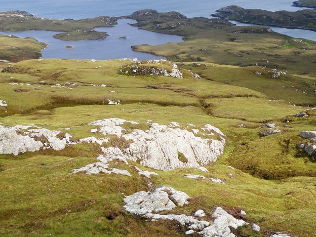
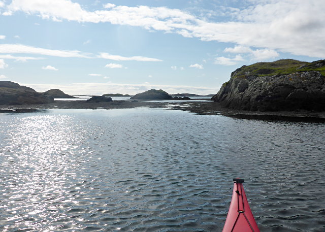
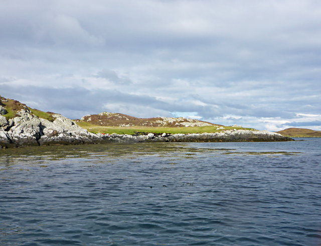
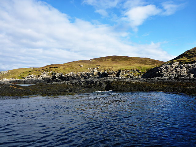
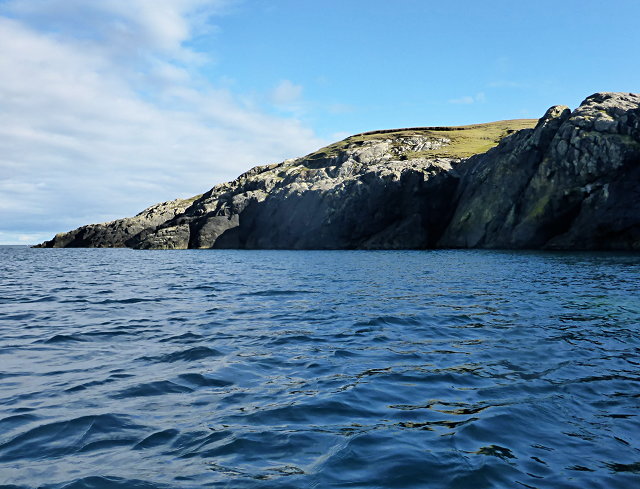
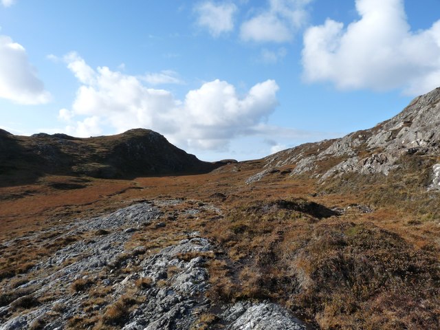
Stretching over an area of approximately 0.5 square kilometers, Loch a' Gheàdais is surrounded by lush greenery and rolling hills, providing a serene and tranquil environment. The loch's crystal-clear waters are fed by several small streams and springs, maintaining a consistent level throughout the year.

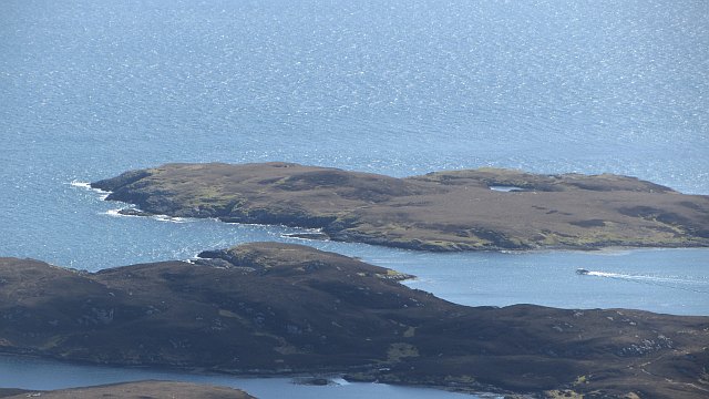
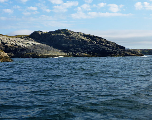
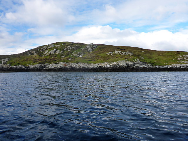
The shoreline of Loch a' Gheàdais features a diverse range of habitats, including pools, ponds, and freshwater marshes. These habitats support a rich variety of plant and animal species, making the area a haven for wildlife. Visitors can spot numerous species of birds, including migratory birds like ducks and geese, as well as smaller birds like warblers and finches.

The loch is also home to a variety of fish, such as brown trout and pike, which attract fishing enthusiasts from far and wide. Fishing permits can be obtained locally, allowing visitors to enjoy a peaceful day by the water, casting their lines and trying their luck.

Surrounded by stunning natural beauty, Loch a' Gheàdais offers visitors the opportunity to immerse themselves in the tranquility of the Scottish Highlands. Whether it's birdwatching, fishing, or simply enjoying a leisurely walk along the shoreline, this loch provides a captivating experience for all who visit.

If you have any feedback on the listing, please let us know in the comments section below.

Loch a' Gheàdais Images

Images are sourced within 2km of 57.519468/-7.1603421 or Grid Reference NF9159. Thanks to Geograph Open Source API. All images are credited.

A burn drains the southeast side of Eabhal Islands litter the east coast waters off Uist
A burn drains the southeast side of Eabhal
Islands litter the east coast waters off Uist
Flodaigh Beag Island off North Uist, view from Eabhal.
Flodaigh Beag
Island off North Uist, view from Eabhal.
Loch a' Gheàdais View from Eabhal.
Loch a' Gheàdais
View from Eabhal.
View from the slopes of Eaval Looking towards Loch a' Gheàdais, the small island on the right in the loch is a Dun
View from the slopes of Eaval
Looking towards Loch a' Gheàdais, the small island on the right in the loch is a Dun
Flodaigh Beag As seen from the southeast
Flodaigh Beag
As seen from the southeast
Rocks south of Huanaraigh A shallow inlet of North Uist.
Rocks south of Huanaraigh
A shallow inlet of North Uist.
North Uist coastline facing Huanaraigh
Flodaigh Beag
Flodaigh Beag
Flodaigh Beag Northeast cliffs of this small island.
Flodaigh Beag
Northeast cliffs of this small island.
Loch a' Gheàdais According to the map, there's a dun on the island in this freshwater loch, but little is evident from this vantage.
Loch a' Gheàdais
According to the map, there's a dun on the island in this freshwater loch, but little is evident from this vantage.
Coastline near Eabhal
Duibh-eilean
Duibh-eilean
Eaval (Eabhal) from Burabhal, North Uist Eaval, 347m, is the highest point on North Uist. Loch Obasaraigh, seen here, is a major obstacle to the ascent of Eaval, and there are basically two routes: a very awkward one from the south-west*, and this one from the north. This starts at Saighdinis <a href="https://www.geograph.org.uk/gridref/NF8863">NF8863</a> and involves a long sweep round the east side of the loch, passing Burabhal on the way. Climbing Burabhal, 141m, is an optional extra! Once the hill is reached, at the extreme left of this photo, things become easier and the ridge can be followed to the top.

* For an indication of the problems, see my <a href="https://www.geograph.org.uk/photo/2538382">NF8960 : Eaval summit, looking to the south-west cairn</a>. Imagine trying to thread your way through all those lochans, without even the benefit of a view from above!
Eaval (Eabhal) from Burabhal, North Uist
Eaval, 347m, is the highest point on North Uist. Loch Obasaraigh, seen here, is a major obstacle to the ascent of Eaval, and there are basically two routes: a very awkward one from the south-west*, and this one from the north. This starts at Saighdinis NF8863 and involves a long sweep round the east side of the loch, passing Burabhal on the way. Climbing Burabhal, 141m, is an optional extra! Once the hill is reached, at the extreme left of this photo, things become easier and the ridge can be followed to the top. * For an indication of the problems, see my NF8960 : Eaval summit, looking to the south-west cairn. Imagine trying to thread your way through all those lochans, without even the benefit of a view from above!
Natural Arch, North Uist coast
A high col through the Eabhal ridge
East end of Loch Obasaraigh, looking to Burabhal The bay at the E end of Loch Obasaraigh with the top of Burabhal clearly visible.  A quick an easy way into the hill of Eaval with the use of the canoe.  The spit of land in the background is clearly visible on the map.
East end of Loch Obasaraigh, looking to Burabhal
The bay at the E end of Loch Obasaraigh with the top of Burabhal clearly visible. A quick an easy way into the hill of Eaval with the use of the canoe. The spit of land in the background is clearly visible on the map.
View from Eaval Towards the western end of Loch Obasaraigh, with Burrival on the left
View from Eaval
Towards the western end of Loch Obasaraigh, with Burrival on the left
Loch Surtavat The loch lies right at the foot of Eabhal and discharges into the much larger Loch Obasaraigh.
Loch Surtavat
The loch lies right at the foot of Eabhal and discharges into the much larger Loch Obasaraigh.
Show me another place!

Loch a' Gheàdais is located at Grid Ref: NF9159 (Lat: 57.519468, Lng: -7.1603421)

Unitary Authority: Na h-Eileanan an Iar

Police Authority: Highlands and Islands

What 3 Words

///genetics.smokers.punctuate. Near Lochmaddy, Na h-Eileanan Siar

Nearby Locations

Loch a' Gheàdais

Related Wikis

Flodaigh Mòr

Flodaigh Mòr (or Floddaymore) is an uninhabited island in the Outer Hebrides of Scotland. == Geography and geology == Flodaigh Mòr lies east of North Uist...

Ronay

Ronay (Scottish Gaelic: Rònaigh) is an island in the Outer Hebrides of Scotland, which lies a short distance off the east coast of Grimsay. == Geography... ==

Fraoch-Eilean

Fraoch-eilean is a small island with an uncertain population north of Benbecula in the Outer Hebrides of Scotland. It is about 55 hectares (140 acres...

Grimsay

Grimsay (Scottish Gaelic: Griomasaigh) is a tidal island in the Outer Hebrides of Scotland. == Geography == Grimsay is the largest of the low-lying stepping...

Have you been to Loch a' Gheàdais?

Leave your review of Loch a' Gheàdais below (or comments, questions and feedback).