Loch Beag na Morgha
Lake, Pool, Pond, Freshwater Marsh in Inverness-shire
Scotland
Loch Beag na Morgha

Loch Beag na Morgha is a picturesque freshwater lake located in Inverness-shire, Scotland. Situated amidst the stunning Scottish Highlands, this natural gem offers a tranquil and serene environment for visitors to immerse themselves in the beauty of nature.
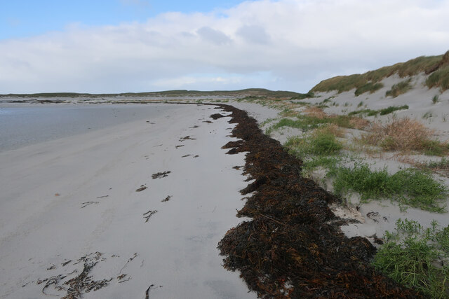
Covering an area of approximately 50 acres, Loch Beag na Morgha is surrounded by lush greenery and rolling hills, providing a breathtaking backdrop. The lake itself boasts crystal-clear waters, making it an ideal spot for various water activities such as fishing, boating, and kayaking.
With a maximum depth of around 10 meters, Loch Beag na Morgha is home to a diverse range of aquatic species. Anglers frequent the lake to try their luck at catching trout, pike, and perch, which thrive in its nutrient-rich waters. The surrounding marshes serve as a habitat for various bird species, including ducks, swans, and herons, making it a popular destination for birdwatching enthusiasts.
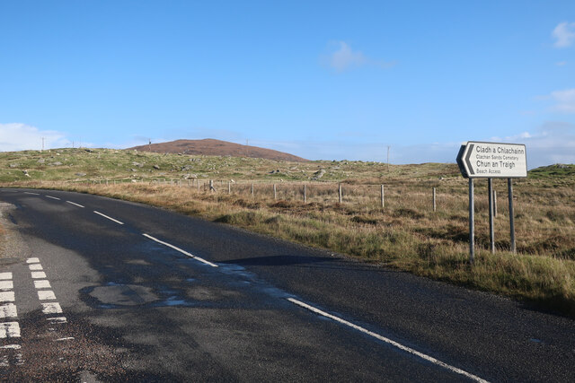
Visitors can explore the area through several walking trails that wind their way around the lake, providing breathtaking views at every turn. The picturesque scenery and peaceful atmosphere make Loch Beag na Morgha a perfect spot for nature lovers, photographers, and those seeking a peaceful retreat away from the hustle and bustle of everyday life.
In conclusion, Loch Beag na Morgha is a stunning freshwater lake nestled in the heart of Inverness-shire. With its scenic beauty, abundant wildlife, and range of activities, it offers a truly captivating experience for all who visit.
If you have any feedback on the listing, please let us know in the comments section below.
Loch Beag na Morgha Images
Images are sourced within 2km of 57.650561/-7.2533899 or Grid Reference NF8674. Thanks to Geograph Open Source API. All images are credited.

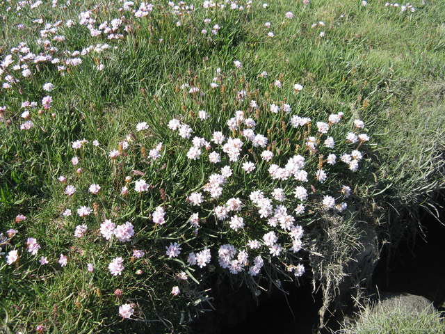
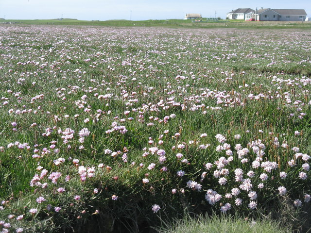
![Salt marsh at Trumaisgearraidh With a good flowering of Thrift [Armeria maritima].](https://s2.geograph.org.uk/geophotos/04/98/76/4987682_f3c46f91.jpg)

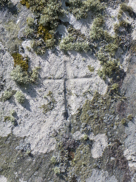
![Clach an t-Sagairt [with oystercatcher] The name translates as the 'Priest's Stone' and the incised cross [see detailed photo] may be early medieval.](https://s0.geograph.org.uk/geophotos/06/20/54/6205476_aeb4c05e.jpg)


Loch Beag na Morgha is located at Grid Ref: NF8674 (Lat: 57.650561, Lng: -7.2533899)
Unitary Authority: Na h-Eileanan an Iar
Police Authority: Highlands and Islands
What 3 Words
///race.strength.highlight. Near Lochmaddy, Na h-Eileanan Siar
Nearby Locations
Related Wikis

Oronsay, Outer Hebrides
Oronsay (Gaelic Orasaigh) is a tidal island off North Uist in the Outer Hebrides. Lying to the north of Vallaquie Strand, the island has been uninhabited...

Na Fir Bhrèige
Na Fir Bhrèige (pronounced [nə fiɾʲ ˈvɾʲeːkʲə]; can be translated from Gaelic into English as "The False Men") is a set of three standing stones on the...

North Uist Machair and Islands
The North Uist Machair and Islands is a protected wetland area in the Outer Hebrides of Scotland. A total of 4,705 hectares comprises seven separate areas...

Lingeigh, North Uist
Lingeigh is an uninhabited island off North Uist, south east of Boreray. It is separated from North Uist by Traigh Lingeigh. == Footnotes ==
Nearby Amenities
Located within 500m of 57.650561,-7.2533899Have you been to Loch Beag na Morgha?
Leave your review of Loch Beag na Morgha below (or comments, questions and feedback).