Loch Hornaraigh

Lake, Pool, Pond, Freshwater Marsh in Inverness-shire

Scotland

Loch Hornaraigh
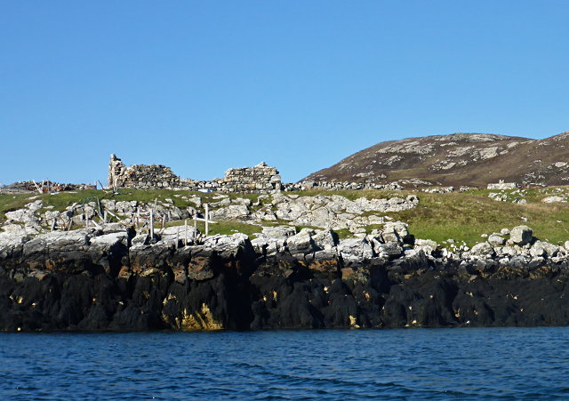
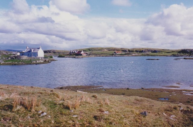
Ruined buildings at Buaile-mhòr
Ruined buildings at Buaile-mhòr Credit: Toby Speight

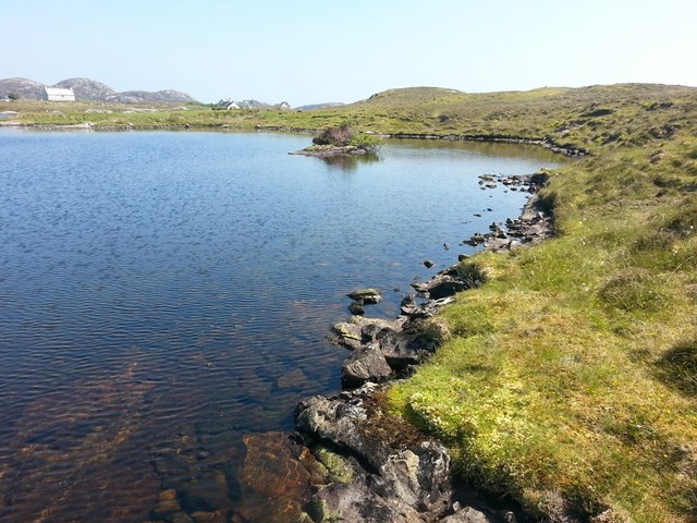
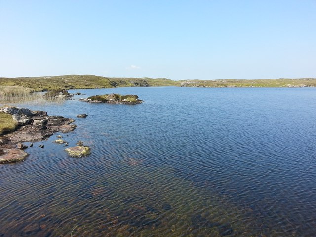
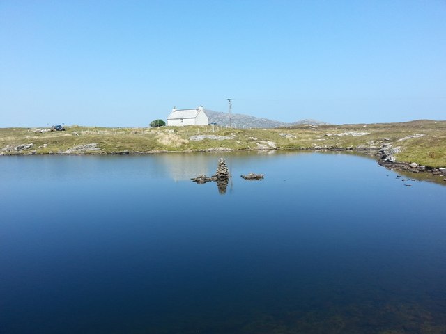
Loch Hornaraigh is a picturesque body of water located in the heart of Inverness-shire, Scotland. Nestled amidst the stunning Scottish Highlands, this freshwater lake is a popular destination for nature enthusiasts and outdoor lovers alike.

Covering an area of approximately 150 acres, Loch Hornaraigh is surrounded by rolling hills and verdant landscapes, providing a serene and tranquil setting. Its crystal-clear waters are fed by numerous mountain streams that cascade down from the nearby mountains, ensuring a constant flow of freshwater.

The lake is home to a diverse range of flora and fauna, making it a haven for wildlife enthusiasts. Visitors can spot various bird species, including herons, ducks, and ospreys, soaring across the sky or diving into the water to catch fish. Surrounding the lake, lush vegetation and reeds provide a habitat for numerous amphibians and insects.

The shores of Loch Hornaraigh offer several scenic walking trails, allowing visitors to explore its natural beauty and take in breathtaking views of the surrounding landscapes. Fishing is also a popular activity here, with anglers drawn to the lake's abundance of brown trout and salmon.

The tranquility and natural beauty of Loch Hornaraigh make it an ideal spot for relaxation and meditation. Whether you choose to take a leisurely stroll along its shores, go birdwatching, or simply enjoy a picnic with family and friends, Loch Hornaraigh provides an enchanting escape from the hustle and bustle of everyday life.

If you have any feedback on the listing, please let us know in the comments section below.

Loch Hornaraigh Images

Images are sourced within 2km of 57.4957/-7.2315004 or Grid Reference NF8657. Thanks to Geograph Open Source API. All images are credited.
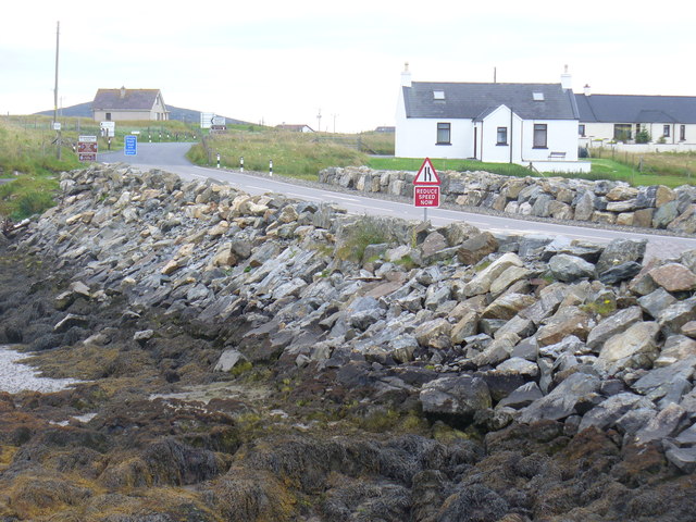
Ruined buildings at Buaile-mhòr
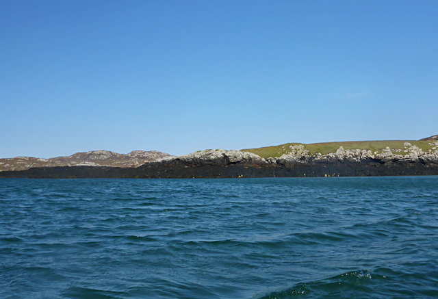
Rubh' an t-Sagairt
Rubh' an t-Sagairt
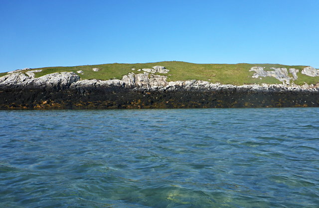
Eilean na Hoe
Eilean na Hoe
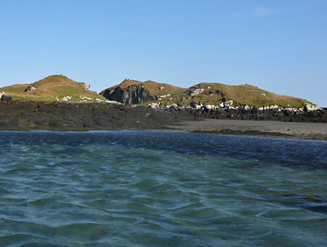
Eilean Buidhe
Eilean Buidhe
Gearraidh Dubh Looking over the shore near Gearraidh Dubh towards Eabhal.
Gearraidh Dubh
Looking over the shore near Gearraidh Dubh towards Eabhal.
Loch na Faoileag on Grimsay One of many small islets on Loch na Faoileag on the Isle of Grimsay
Loch na Faoileag on Grimsay
One of many small islets on Loch na Faoileag on the Isle of Grimsay
Loch na Faoileag Shoreline A view along the shoreline to north west finger on Loch na Faoileag (Isle of Grimsay) .Taken on the opposite bank from the roadside.
Loch na Faoileag Shoreline
A view along the shoreline to north west finger on Loch na Faoileag (Isle of Grimsay) .Taken on the opposite bank from the roadside.
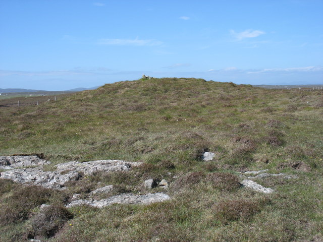
Loch na Faoileag Cairn A small cairn situated at the south-eastern end of Loch na Faoileag.
Loch na Faoileag Cairn
A small cairn situated at the south-eastern end of Loch na Faoileag.
Near Gearraidh Dubh
Near Gearraidh Dubh
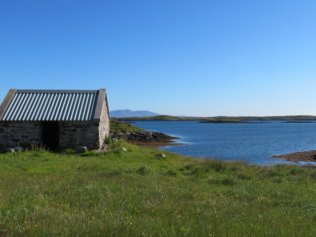
Bagh Sgotbheinn Not all Hebridean buildings fall into disrepair. I note that Dave Fergusson's 2007 photograph includes this small building, but now, twelve years later it has a new roof and is looking well cared for.
Bagh Sgotbheinn
Not all Hebridean buildings fall into disrepair. I note that Dave Fergusson's 2007 photograph includes this small building, but now, twelve years later it has a new roof and is looking well cared for.
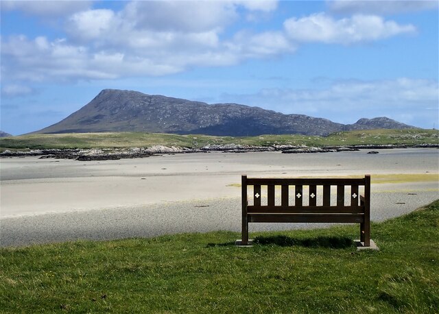
Eilean an t-Seagail Seating located at a parking spot just off the A865 near Baile Glas on Benbecula.
Eilean an t-Seagail
Seating located at a parking spot just off the A865 near Baile Glas on Benbecula.
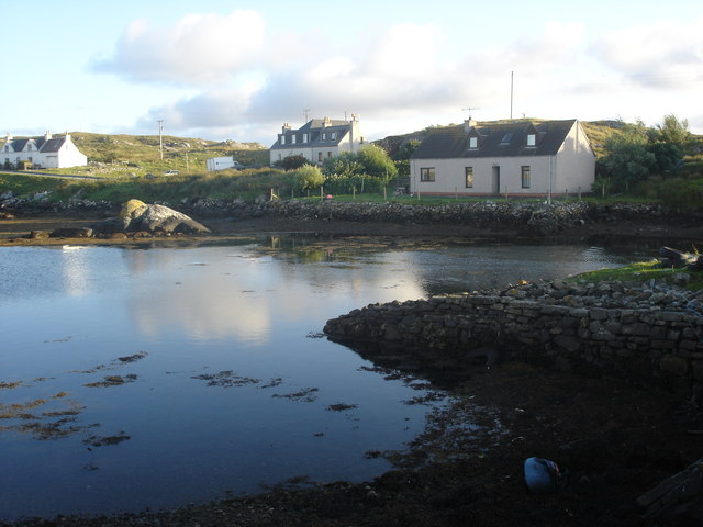
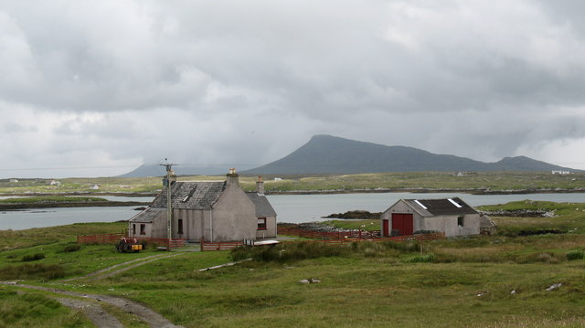
Old harbour, Grimsay A crofthouse sitting on a reclaimed piece of land at Baymore (Bagh mor) which was the main harbour on the island before the Kallin (Ceallan) development.  The harbour is littered with lots of old creels and other flotsam and there are many old stone piers.
Old harbour, Grimsay
A crofthouse sitting on a reclaimed piece of land at Baymore (Bagh mor) which was the main harbour on the island before the Kallin (Ceallan) development. The harbour is littered with lots of old creels and other flotsam and there are many old stone piers.
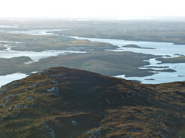
The summit region of Grimsay Grimsay is a low island between North Uist and Benbecula. It is difficult to be certain of its highest point, but this eminence, 25m or so above Mean Sea Level, is a good contender.
The summit region of Grimsay
Grimsay is a low island between North Uist and Benbecula. It is difficult to be certain of its highest point, but this eminence, 25m or so above Mean Sea Level, is a good contender.
Baile Glas, Grimsay Hamlet on the causewayed road between Benbecula and North Uist.
<span class="nowrap"><a title="http://www.isle-of-benbecula.co.uk/" rel="nofollow ugc noopener" href="http://www.isle-of-benbecula.co.uk/">Link</a><img style="margin-left:2px;" alt="External link" title="External link - shift click to open in new window" src="https://s1.geograph.org.uk/img/external.png" width="10" height="10"/></span>
Baile Glas, Grimsay
Hamlet on the causewayed road between Benbecula and North Uist. LinkExternal link
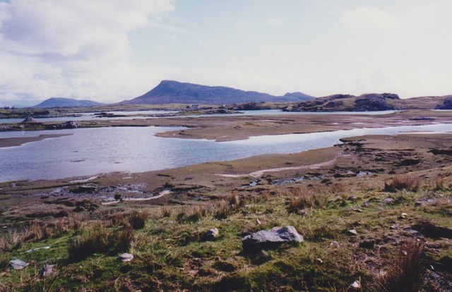
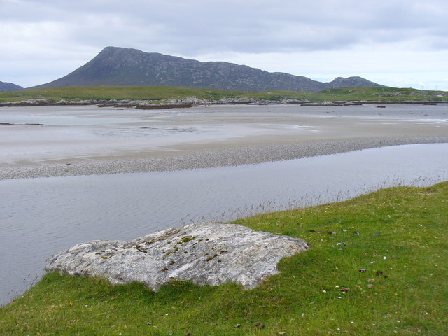
Sand Flats at Grimsay Tidal flats between Grimsay (foreground) and North Uist (background). Eaval / Eabhal is the distinctive mountain.
Sand Flats at Grimsay
Tidal flats between Grimsay (foreground) and North Uist (background). Eaval / Eabhal is the distinctive mountain.
Isle of Ronay View towards North Uist
Isle of Ronay
View towards North Uist
Sandy inlet on the coast of Grimsay One of a maze of inlets and channels around Grimsay. This view is interesting as there are remains of old field walls [possibly iron age/centre picture] visible in the sand, indicating a lower sea level at some time. Cloud capped Eabhal rises in the distance.
Sandy inlet on the coast of Grimsay
One of a maze of inlets and channels around Grimsay. This view is interesting as there are remains of old field walls [possibly iron age/centre picture] visible in the sand, indicating a lower sea level at some time. Cloud capped Eabhal rises in the distance.
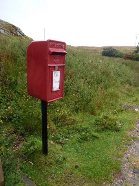
Baymore: postbox № HS6 15 One of four postboxes on the island of Grimsay. Apart from the one on the main road close to the post office, they are emptied at 11:45am on weekdays and at 9:30am on Saturdays.
Baymore: postbox № HS6 15
One of four postboxes on the island of Grimsay. Apart from the one on the main road close to the post office, they are emptied at 11:45am on weekdays and at 9:30am on Saturdays.
Show me another place!

Loch Hornaraigh is located at Grid Ref: NF8657 (Lat: 57.4957, Lng: -7.2315004)

Unitary Authority: Na h-Eileanan an Iar

Police Authority: Highlands and Islands

What 3 Words

///newsprint.ankle.tomato. Near Balivanich, Na h-Eileanan Siar

Related Wikis

Grimsay

Grimsay (Scottish Gaelic: Griomasaigh) is a tidal island in the Outer Hebrides of Scotland. == Geography == Grimsay is the largest of the low-lying stepping...

Fraoch-Eilean

Fraoch-eilean is a small island with an uncertain population north of Benbecula in the Outer Hebrides of Scotland. It is about 55 hectares (140 acres...

Baile Glas

Baile Glas or Ballaglasa (Scottish Gaelic: Am Baile Glas) is a settlement on Grimsay in the Outer Hebrides, Scotland. Ballaglasa is within the parish of...

Flodaigh

Flodaigh is a tidal island lying to the north of Benbecula and south of Grimsay in the Outer Hebrides, Scotland. It is connected to Benbecula by a causeway...

Nearby Amenities

Located within 500m of 57.4957,-7.2315004
Passing Place
Lat/Long: 57.494771/-7.2333231
Power: pole
Lat/Long: 57.4967958/-7.2389737
Passing Place
Lat/Long: 57.496852/-7.2389516
Passing Place
Lat/Long: 57.4940532/-7.229666
Passing Place
Lat/Long: 57.4948532/-7.2338547
Passing Place
Lat/Long: 57.4952406/-7.2362609
Passing Place
Lat/Long: 57.4960164/-7.2374817
Man Made: tower
Tower Construction: lattice
Tower Type: communication
Lat/Long: 57.494528/-7.233324
Passing Place
Lat/Long: 57.4934601/-7.2275799
The data included in this document is from www.openstreetmap.org. The data is made available under ODbL.

Have you been to Loch Hornaraigh?

Leave your review of Loch Hornaraigh below (or comments, questions and feedback).