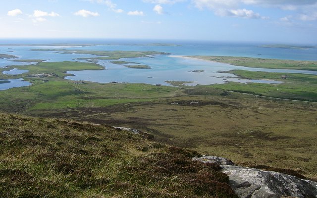
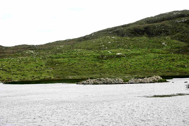
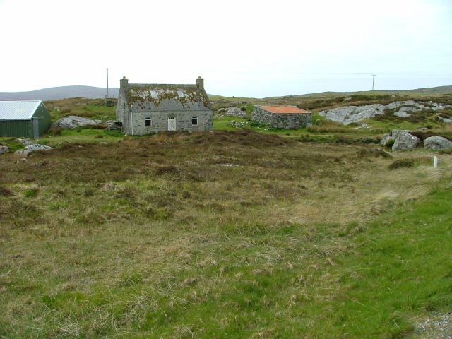
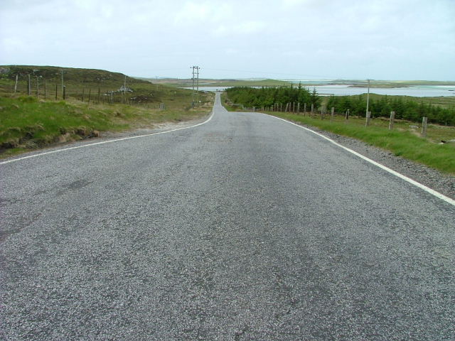
Loch na Ceàrdaich
Lake, Pool, Pond, Freshwater Marsh in Inverness-shire
Scotland
Loch na Ceàrdaich

The requested URL returned error: 429 Too Many Requests
If you have any feedback on the listing, please let us know in the comments section below.
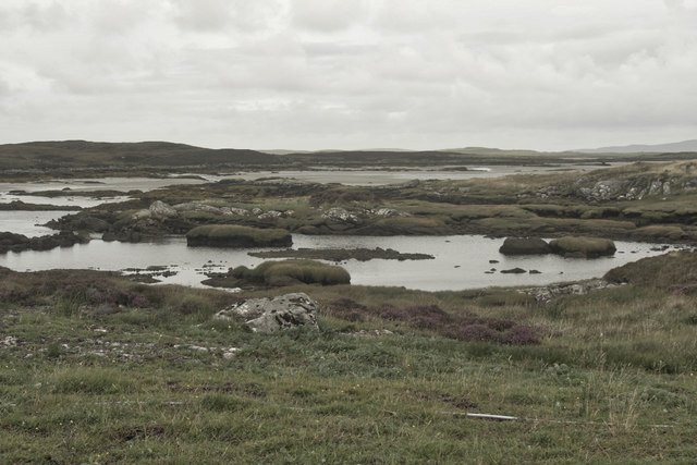
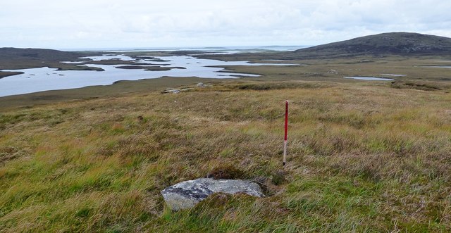
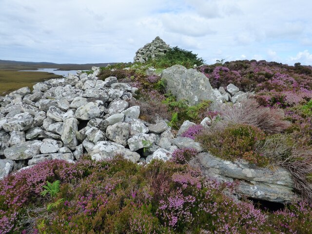
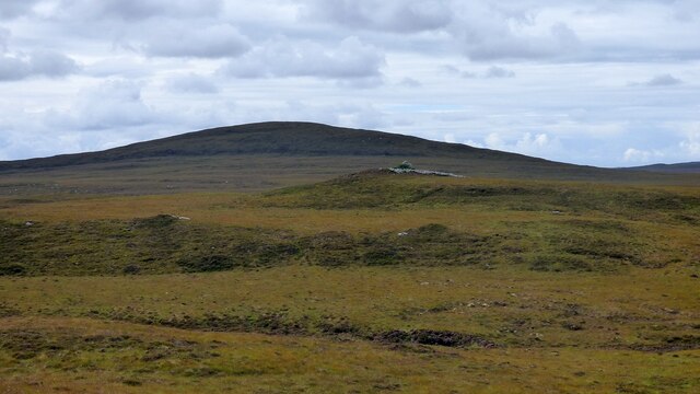
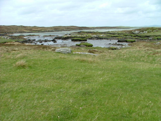
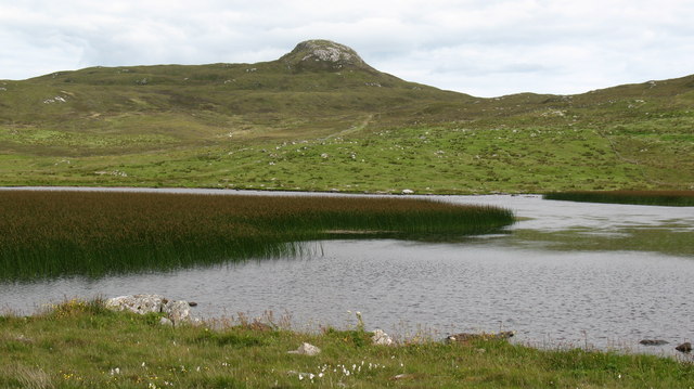
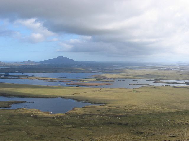
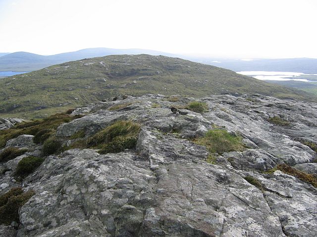
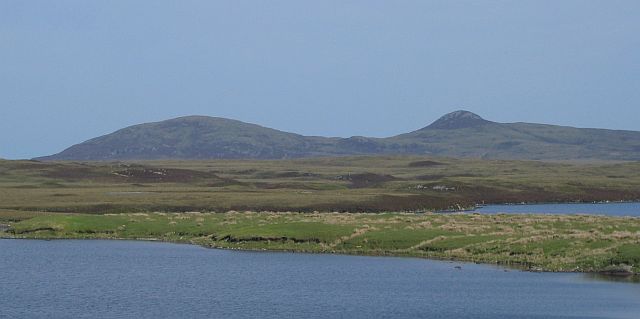
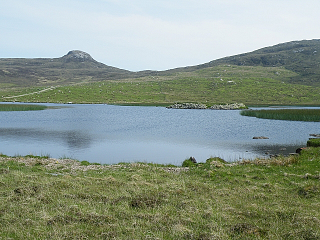
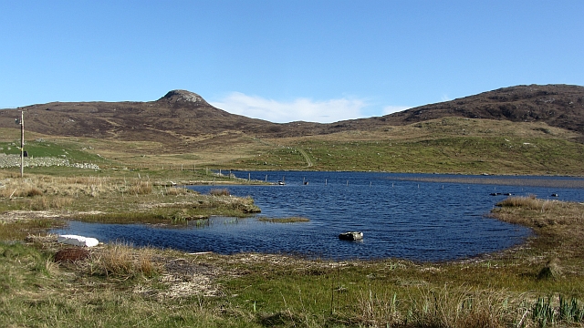
Loch na Ceàrdaich Images
Images are sourced within 2km of 57.632257/-7.2747629 or Grid Reference NF8572. Thanks to Geograph Open Source API. All images are credited.


Loch na Ceàrdaich is located at Grid Ref: NF8572 (Lat: 57.632257, Lng: -7.2747629)
Unitary Authority: Na h-Eileanan an Iar
Police Authority: Highlands and Islands
What 3 Words
///flopping.reversed.stop. Near Lochmaddy, Na h-Eileanan Siar
Nearby Locations
Related Wikis

Na Fir Bhrèige
Na Fir Bhrèige (pronounced [nə fiɾʲ ˈvɾʲeːkʲə]; can be translated from Gaelic into English as "The False Men") is a set of three standing stones on the...

Oronsay, Outer Hebrides
Oronsay (Gaelic Orasaigh) is a tidal island off North Uist in the Outer Hebrides. Lying to the north of Vallaquie Strand, the island has been uninhabited...

Loch Sgadabhagh
Loch Sgadabhagh or Loch Scadavay is a body of water on the island of North Uist, Scotland. The name may be of Old Norse derivation meaning "lake of tax...

Sollas
Sollas (Scottish Gaelic: Solas) is a small crofting township on the northern coast of the island of North Uist, Scotland. == History == === The Battle... ===
Have you been to Loch na Ceàrdaich?
Leave your review of Loch na Ceàrdaich below (or comments, questions and feedback).