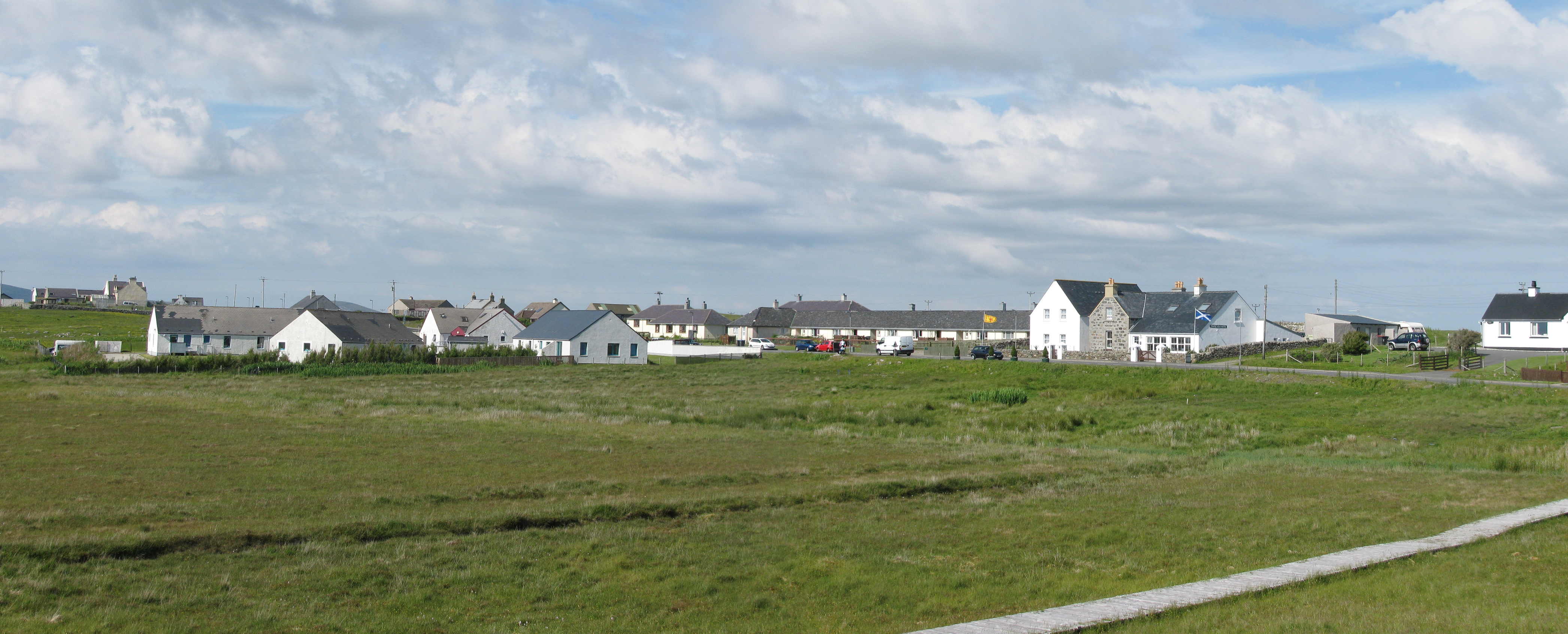
Loch Ardaich Torr

Lake, Pool, Pond, Freshwater Marsh in Inverness-shire

Scotland

Loch Ardaich Torr
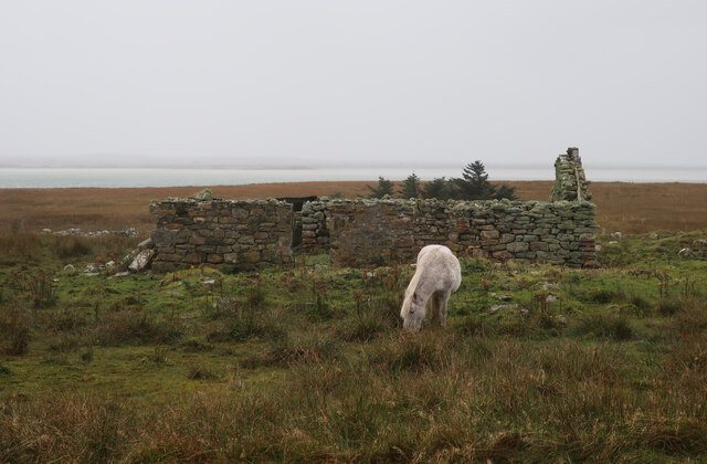
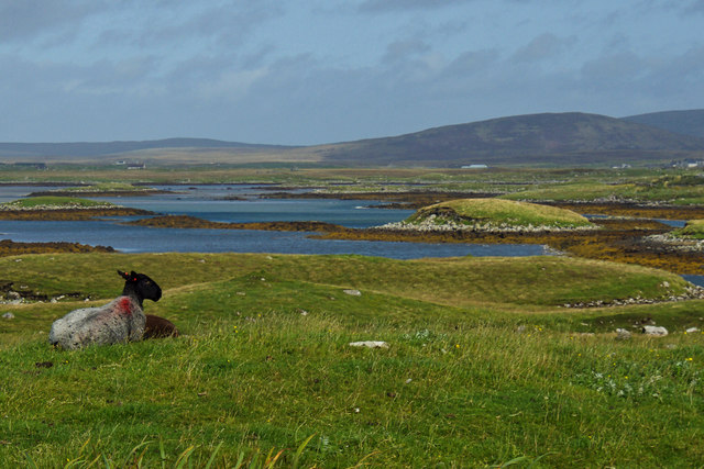
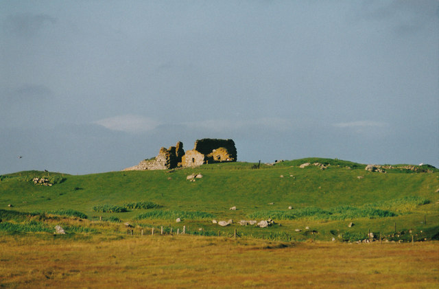
Pony and ruin, Carinish
Pony and ruin, Carinish Credit: Hugh Venables

Loch Ardaich Torr is a picturesque freshwater loch located in Inverness-shire, Scotland. Nestled amidst the stunning highland landscape, it boasts breathtaking views and a tranquil ambiance that attracts both locals and tourists alike. With an area of approximately 2 square kilometers, the loch is surrounded by lush greenery and rocky hills, creating a mesmerizing backdrop.

The water in Loch Ardaich Torr is crystal clear and teeming with various species of fish, making it a popular destination for anglers. Trout and salmon are particularly abundant here, providing a thrilling fishing experience for enthusiasts. The calm waters also make it an ideal spot for water activities such as kayaking and canoeing, allowing visitors to explore the loch and its surroundings at their own pace.

The shores of Loch Ardaich Torr are adorned with vibrant flora and fauna, including reeds, rushes, and water lilies. This rich biodiversity supports a variety of bird species, making it a haven for birdwatchers. Visitors can often spot ducks, herons, and ospreys gracefully gliding across the water or perched on the nearby trees.

The loch is also home to a freshwater marsh, which provides a unique habitat for various plants and animals. This marshland is characterized by its marsh grasses, sedges, and other aquatic vegetation, serving as a vital breeding ground for amphibians and insects.

Overall, Loch Ardaich Torr offers a serene and picturesque setting, making it a must-visit destination for those seeking tranquility amidst the natural beauty of Inverness-shire.

If you have any feedback on the listing, please let us know in the comments section below.

Loch Ardaich Torr Images

Images are sourced within 2km of 57.515096/-7.3108893 or Grid Reference NF8259. Thanks to Geograph Open Source API. All images are credited.
Pony and ruin, Carinish
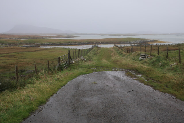
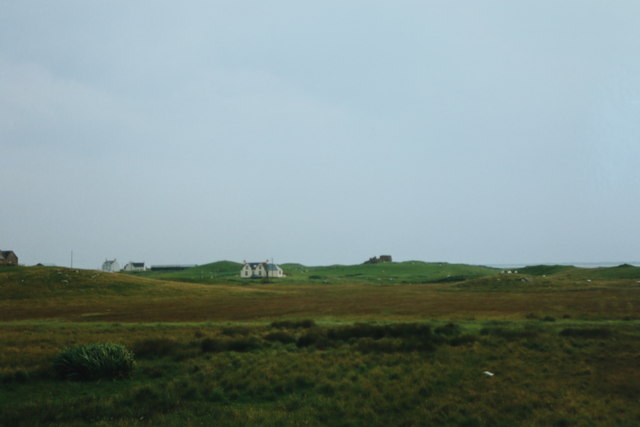
End of the road at Àird Mhòr
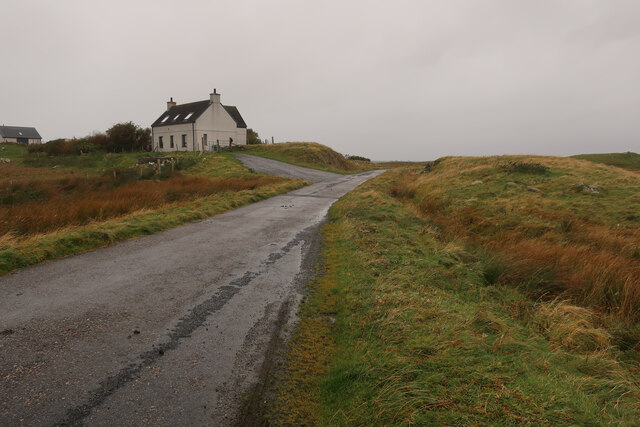
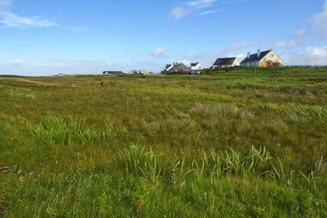
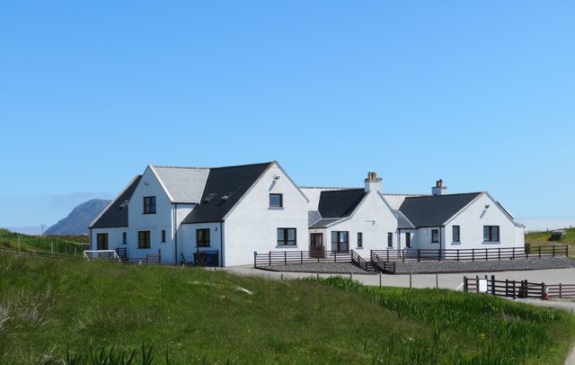
House at Carinish
House at Carinish
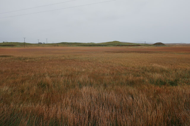
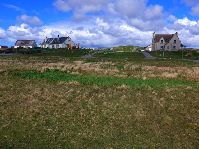
Marshy area at Carinish Seemingly a naturally infilled loch.
Marshy area at Carinish
Seemingly a naturally infilled loch.
Outside Talla Chairinis, North Uist Outside a community hall
Outside Talla Chairinis, North Uist
Outside a community hall
Blar Chairinis Site of battle in 1601.
Blar Chairinis
Site of battle in 1601.
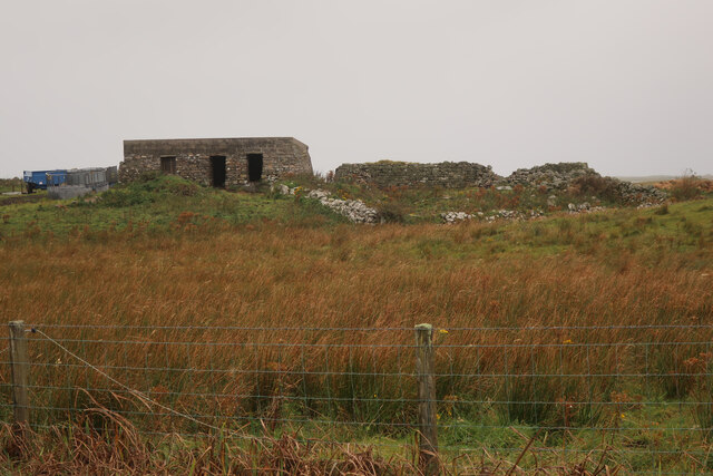
Stone barn at Carinish
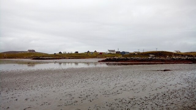
Moorcroft Campsite at low tide
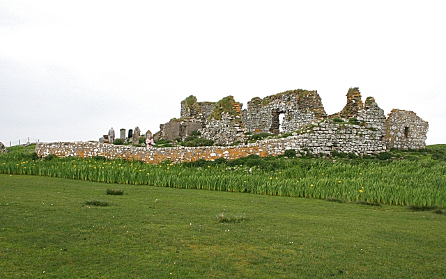
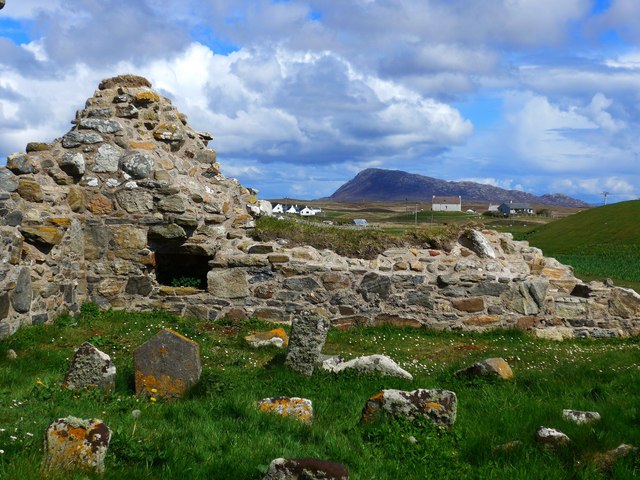
The ruins of Trinity Temple (Teampull na Trianaid) According to the plaque "Medieval monastery and college of European significance, founded by Beathag, daughter of Somhairle (Somerled).  Enlarged about 1350 to 1390 by Amie Mic Ruarie, first wife of John, Lord of the Isles.  Reconstructed in the 16th century.  Destroyed after the reformation.  Later restored in the 19th century by Dotair Ban."
The ruins of Trinity Temple (Teampull na Trianaid)
According to the plaque "Medieval monastery and college of European significance, founded by Beathag, daughter of Somhairle (Somerled). Enlarged about 1350 to 1390 by Amie Mic Ruarie, first wife of John, Lord of the Isles. Reconstructed in the 16th century. Destroyed after the reformation. Later restored in the 19th century by Dotair Ban."
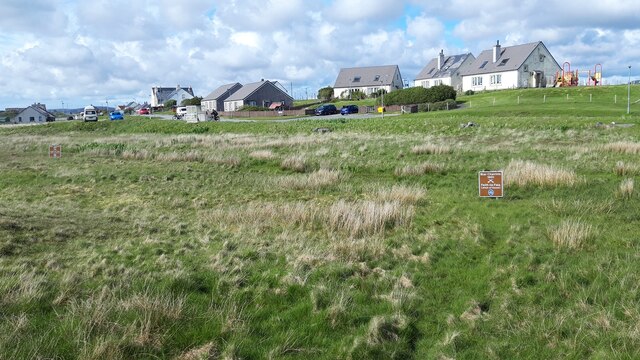
Field and houses at Carinish And also the site of Feith na Fala (The ditch of blood) - a battle waged in 1601 between the MacLeods and the MacDonalds.
Field and houses at Carinish
And also the site of Feith na Fala (The ditch of blood) - a battle waged in 1601 between the MacLeods and the MacDonalds.
Bagh a’ Ghriasaiche
Bagh a’ Ghriasaiche
Fèithe na Fala - The ditch of blood
View from Temple View Hotel Teampull na Trionaid is a ruined 13th-century church and seminary at Carinish, North Uist, Scotland. Amie mac Ruari is said to have rebuilt the church in the 14th century after her divorce from John of Islay, Lord of the Isles. The ruins are protected as a scheduled monument.
View from Temple View Hotel
Teampull na Trionaid is a ruined 13th-century church and seminary at Carinish, North Uist, Scotland. Amie mac Ruari is said to have rebuilt the church in the 14th century after her divorce from John of Islay, Lord of the Isles. The ruins are protected as a scheduled monument.
Closer to the temple The ruins of Trinity Temple (Teampull na Trianaid)
Closer to the temple
The ruins of Trinity Temple (Teampull na Trianaid)
Free Church, Cairinis Current OS maps show this as a church, but older versions show it as a pub, which was its original purpose. Enough said.
Free Church, Cairinis
Current OS maps show this as a church, but older versions show it as a pub, which was its original purpose. Enough said.
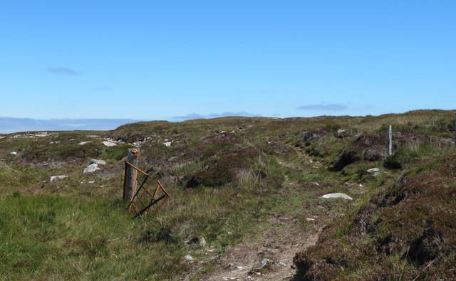
A not very useful gate A rusty old metal gate at the point where a fence once crossed the track.
A not very useful gate
A rusty old metal gate at the point where a fence once crossed the track.
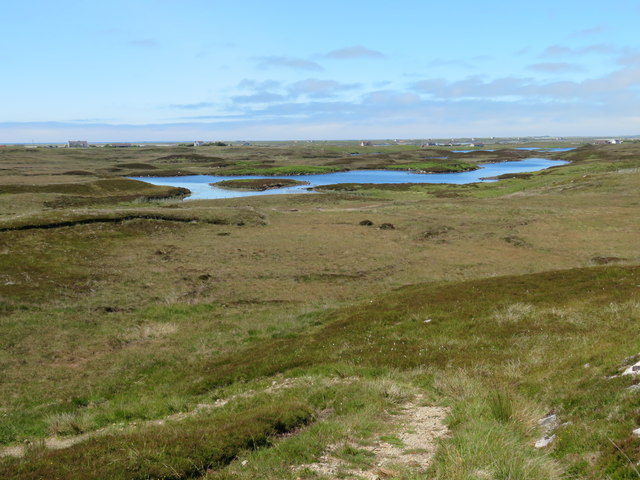
Track above Loch Creag nan Speireag This track, which is indistinct in places, forms part of the Hebridean Way, a relatively new walking route through the Western Isles.
Track above Loch Creag nan Speireag
This track, which is indistinct in places, forms part of the Hebridean Way, a relatively new walking route through the Western Isles.
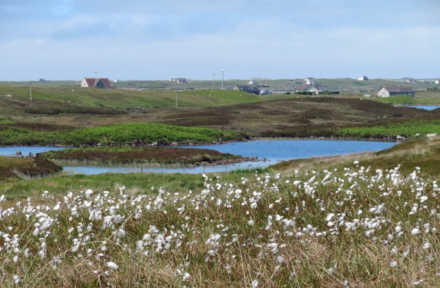
Cotton grass, Creag nan Speireag Looking over cotton grass towards Loch nan Speireag and the houses at Gearraidh Cladach.
Cotton grass, Creag nan Speireag
Looking over cotton grass towards Loch nan Speireag and the houses at Gearraidh Cladach.
Show me another place!

Loch Ardaich Torr is located at Grid Ref: NF8259 (Lat: 57.515096, Lng: -7.3108893)

Unitary Authority: Na h-Eileanan an Iar

Police Authority: Highlands and Islands

What 3 Words

///steer.expansion.shape. Near Balivanich, Na h-Eileanan Siar

Related Wikis

Bail' Iochdrach

Bail' Iochdrach or Baliochrach (Scottish Gaelic: Am Baile Ìochdrach) is a village on Benbecula in the Outer Hebrides, Scotland. Baliochrach is within the...

Carinish

Carinish (Scottish Gaelic: Càirinis), is a hamlet on North Uist, in the Outer Hebrides, Scotland. It is in the south of the island, about two miles (three...

Teampull na Trionaid

Teampull na Trionaid ("trinity church") is a ruined 13th-century Augustinian nunnery at Carinish, on North Uist, in the Outer Hebrides of Scotland. �...

Battle of Carinish

The Battle of Carinish was a Scottish clan battle fought in North Uist in 1601. It was part of a year of feuding between Clan MacLeod of Dunvegan and the...

Nearby Amenities

Located within 500m of 57.515096,-7.3108893
Bus Stop
Carinish
Bus: yes
Naptan AtcoCode: 6010731584
Naptan Bearing: W
Naptan BusStopType: CUS
Naptan CommonName: Carinish
Naptan Indicator: Lower Town
Naptan Landmark: village centre
Naptan NaptanCode: 94723534
Naptan Street: Lower Town
Naptan Verified: no
Public Transport: platform
Source: naptan_import
Lat/Long: 57.5130675/-7.3140805
Passing Place
Lat/Long: 57.5171415/-7.3148996
Turning Circle
Lat/Long: 57.5122561/-7.3049317
Barrier: cattle_grid
Lat/Long: 57.5123572/-7.304954
Power: pole
Lat/Long: 57.5181536/-7.3170045
Power: pole
Lat/Long: 57.5167376/-7.3150116
Power: pole
Lat/Long: 57.5173239/-7.315202
Power: pole
Lat/Long: 57.5180801/-7.3154917
Power: pole
Lat/Long: 57.5184734/-7.3156232
Power: pole
Lat/Long: 57.5175904/-7.3177421
Power: pole
Lat/Long: 57.5171525/-7.3182839
Power: pole
Lat/Long: 57.5148433/-7.319169
Power: pole
Lat/Long: 57.5142916/-7.3179647
Power: pole
Lat/Long: 57.5138997/-7.3170501
Power: pole
Lat/Long: 57.5132716/-7.3156258
Power: pole
Lat/Long: 57.5134315/-7.3150411
Power: pole
Lat/Long: 57.5131766/-7.3145449
Power: pole
Lat/Long: 57.5130037/-7.3140138
Power: pole
Lat/Long: 57.5131175/-7.3138234
Power: pole
Lat/Long: 57.5129706/-7.3156151
Power: pole
Lat/Long: 57.5128827/-7.3112887
Power: pole
Lat/Long: 57.513021/-7.3128283
Power: pole
Lat/Long: 57.5139703/-7.314907
Power: pole
Lat/Long: 57.5154568/-7.3145387
Power: pole
Lat/Long: 57.5150171/-7.314651
Power: pole
Lat/Long: 57.5145081/-7.314777
Power: pole
Lat/Long: 57.5137095/-7.3165078
Barrier: cattle_grid
Lat/Long: 57.513002/-7.3160258
Power: pole
Lat/Long: 57.5127838/-7.310199
Power: pole
Lat/Long: 57.5126513/-7.3088042
Power: pole
Lat/Long: 57.5125346/-7.3074685
Power: pole
Lat/Long: 57.5123948/-7.3059906
Power: pole
Lat/Long: 57.5129986/-7.31462
Power: pole
Lat/Long: 57.5120118/-7.3168758
Power: pole
Lat/Long: 57.5125103/-7.3162374
Barrier: cattle_grid
Lat/Long: 57.5130548/-7.3142767
Barrier: cattle_grid
Lat/Long: 57.5144013/-7.3188285
Barrier: cattle_grid
Lat/Long: 57.5137657/-7.3175479
Generator Method: wind_turbine
Generator Source: wind
Generator Type: horizontal_axis
Power: generator
Lat/Long: 57.5152204/-7.3046815
The data included in this document is from www.openstreetmap.org. The data is made available under ODbL.

Have you been to Loch Ardaich Torr?

Leave your review of Loch Ardaich Torr below (or comments, questions and feedback).