Loch na Culaidh

Lake, Pool, Pond, Freshwater Marsh in Inverness-shire

Scotland

Loch na Culaidh

Footbridge on the Hebridean Way Sturdy footbridge on the Hebridean Way west of Langass Lodge
Footbridge on the Hebridean Way Credit: Alan Pickup

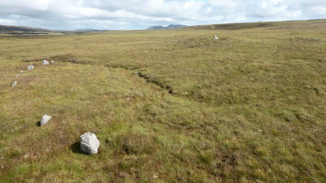
Loch na Culaidh is a picturesque freshwater loch located in Inverness-shire, Scotland. Situated amidst the stunning Highland landscape, this body of water offers a tranquil and serene environment for visitors to enjoy.

Covering an area of approximately 2 square kilometers, Loch na Culaidh is a relatively small lake. It is surrounded by rolling hills and lush greenery, providing a beautiful backdrop for nature enthusiasts and photographers alike.

The loch is known for its crystal-clear waters, which are fed by several small streams and springs in the surrounding area. This pristine water source supports a diverse ecosystem, making it an ideal habitat for various species of fish, including brown trout and pike. As a result, Loch na Culaidh is a popular spot for fishing enthusiasts who are drawn to its abundant fish population.

In addition to its fishing opportunities, Loch na Culaidh also offers a range of recreational activities. Visitors can explore the area by boat, kayak, or canoe, taking in the stunning scenery as they glide across the calm waters. The loch is also surrounded by walking trails, allowing hikers to take in the breathtaking views from various vantage points.

Furthermore, Loch na Culaidh is home to a freshwater marsh, which provides a unique habitat for a variety of waterfowl and wetland plants. This marshland is an important breeding ground for several bird species, including ducks and herons, making it a prime location for birdwatching enthusiasts.

Overall, Loch na Culaidh is a hidden gem in Inverness-shire, offering a peaceful and scenic escape for nature lovers and outdoor enthusiasts.

If you have any feedback on the listing, please let us know in the comments section below.

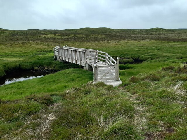
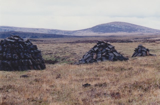
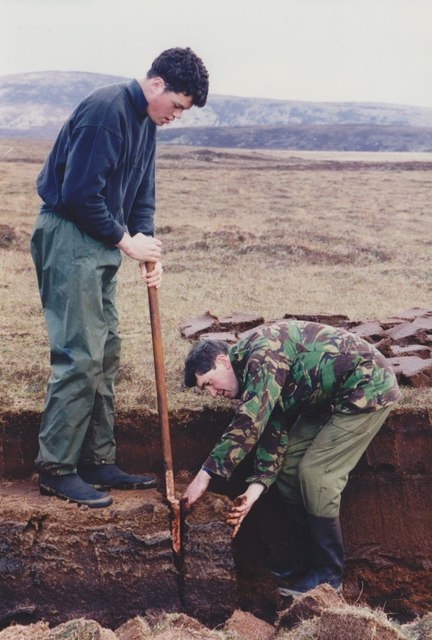
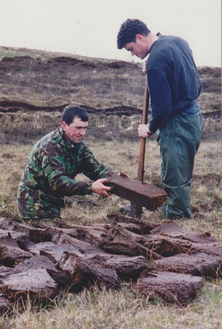
Loch na Culaidh Images

Images are sourced within 2km of 57.557301/-7.3185551 or Grid Reference NF8264. Thanks to Geograph Open Source API. All images are credited.

Footbridge on the Hebridean Way Sturdy footbridge on the Hebridean Way west of Langass Lodge
Footbridge on the Hebridean Way
Sturdy footbridge on the Hebridean Way west of Langass Lodge
Hebridean Way View SE from the Hebridean Way west of Langass Lodge. In the distance is the distinctive shape of Eabhal.
Hebridean Way
View SE from the Hebridean Way west of Langass Lodge. In the distance is the distinctive shape of Eabhal.
Loch Tormasad island A small island near the outflow of Loch Tormasad
Loch Tormasad island
A small island near the outflow of Loch Tormasad
Peat stacks beside the A867 Looking towards Marrogh (168m) in the distance.
Peat stacks beside the A867
Looking towards Marrogh (168m) in the distance.
Cutting peats beside the A867 Traditional cutting of peats to dry for fuel in North Uist.
Cutting peats beside the A867
Traditional cutting of peats to dry for fuel in North Uist.
Cutting peats beside the A867 Traditional cutting of peats to dry for fuel in North Uist.
Cutting peats beside the A867
Traditional cutting of peats to dry for fuel in North Uist.
Clachan Stores What was a decent general store at the Clachan Junction until a couple of years ago is trading no more. The caravan that was parked in the driveway in 2007 <a href="https://www.geograph.org.uk/photo/445214">NF8164 : Clachan Stores</a> is still in place though...
Clachan Stores
What was a decent general store at the Clachan Junction until a couple of years ago is trading no more. The caravan that was parked in the driveway in 2007 NF8164 : Clachan Stores is still in place though...
Two cairns and shielings at Craonaval The stone structures in the foreground are the remains of shielings built into the top of a cairn. <span class="nowrap"><a title="https://canmore.org.uk/site/10284/north-uist-craonaval-south" rel="nofollow ugc noopener" href="https://canmore.org.uk/site/10284/north-uist-craonaval-south">Link</a><img style="margin-left:2px;" alt="External link" title="External link - shift click to open in new window" src="https://s1.geograph.org.uk/img/external.png" width="10" height="10"/></span> A second cairn is visible as a green mound in the middle distance. This cairn contains a possible chamber. <span class="nowrap"><a title="https://canmore.org.uk/site/10253/north-uist-craonaval-north" rel="nofollow ugc noopener" href="https://canmore.org.uk/site/10253/north-uist-craonaval-north">Link</a><img style="margin-left:2px;" alt="External link" title="External link - shift click to open in new window" src="https://s1.geograph.org.uk/img/external.png" width="10" height="10"/></span>
Two cairns and shielings at Craonaval
The stone structures in the foreground are the remains of shielings built into the top of a cairn. LinkExternal link A second cairn is visible as a green mound in the middle distance. This cairn contains a possible chamber. LinkExternal link
Sornach a' Phobuill stone circle A stone circle also known as Sornach Coir' Fhinn. The north western sector survives best. <span class="nowrap"><a title="https://canmore.org.uk/site/10269/north-uist-loch-a-phobuill-sornach-coir-fhinn" rel="nofollow ugc noopener" href="https://canmore.org.uk/site/10269/north-uist-loch-a-phobuill-sornach-coir-fhinn">Link</a><img style="margin-left:2px;" alt="External link" title="External link - shift click to open in new window" src="https://s1.geograph.org.uk/img/external.png" width="10" height="10"/></span>
Sornach a' Phobuill stone circle
A stone circle also known as Sornach Coir' Fhinn. The north western sector survives best. LinkExternal link
Loch Euphort, North Uist
North Uist War Memorial Memorial to the men of North Uist who laid down their lives during the first and second world wars.
North Uist War Memorial
Memorial to the men of North Uist who laid down their lives during the first and second world wars.
Old Pier at Loch Euphort Derelict pier and fishing station on the south shore of the sea loch, Loch Euphort.
Old Pier at Loch Euphort
Derelict pier and fishing station on the south shore of the sea loch, Loch Euphort.
Foreshore at Loch Euphort Desolate lochside area with Eaval / Eabhal in the distance.
<span class="nowrap"><a title="http://www.northuist.org.uk/" rel="nofollow ugc noopener" href="http://www.northuist.org.uk/">Link</a><img style="margin-left:2px;" alt="External link" title="External link - shift click to open in new window" src="https://s1.geograph.org.uk/img/external.png" width="10" height="10"/></span>
Foreshore at Loch Euphort
Desolate lochside area with Eaval / Eabhal in the distance. LinkExternal link
Hebridean Smokehouse, Clachan Local industry on North Uist, specialising in salmon and scallops.
<span class="nowrap"><a title="http://www.hebrideansmokehouse.com/" rel="nofollow ugc noopener" href="http://www.hebrideansmokehouse.com/">Link</a><img style="margin-left:2px;" alt="External link" title="External link - shift click to open in new window" src="https://s1.geograph.org.uk/img/external.png" width="10" height="10"/></span>
Hebridean Smokehouse, Clachan
Local industry on North Uist, specialising in salmon and scallops. LinkExternal link
Loch na Maoile Duibhe and Loch na Bà Ceire Moorland lochs from Druim Langara
Loch na Maoile Duibhe and Loch na Bà Ceire
Moorland lochs from Druim Langara
Looking towards Loch nan Strùban Improved grassland with the peat moor behind
Looking towards Loch nan Strùban
Improved grassland with the peat moor behind
Interior of North Uist The scene from Druim Langara
Interior of North Uist
The scene from Druim Langara
Road across Criongrabhal Access to the hill and moor ground
Road across Criongrabhal
Access to the hill and moor ground
Show me another place!

Loch na Culaidh is located at Grid Ref: NF8264 (Lat: 57.557301, Lng: -7.3185551)

Unitary Authority: Na h-Eileanan an Iar

Police Authority: Highlands and Islands

What 3 Words

///spouting.shares.bubbles. Near Balivanich, Na h-Eileanan Siar

Related Wikis

Battle of Carinish

The Battle of Carinish was a Scottish clan battle fought in North Uist in 1601. It was part of a year of feuding between Clan MacLeod of Dunvegan and the...

Baleshare

Baleshare (Scottish Gaelic: Baile Sear) is a flat tidal island in the Outer Hebrides of Scotland. Baleshare lies to the south-west of North Uist. Its economics...

Carinish

Carinish (Scottish Gaelic: Càirinis), is a hamlet on North Uist, in the Outer Hebrides, Scotland. It is in the south of the island, about two miles (three...

Teampull na Trionaid

Teampull na Trionaid ("trinity church") is a ruined 13th-century Augustinian nunnery at Carinish, on North Uist, in the Outer Hebrides of Scotland. �...

Nearby Amenities

Located within 500m of 57.557301,-7.3185551
Power: pole
Lat/Long: 57.561069/-7.3186165
Power: pole
Lat/Long: 57.5604489/-7.3196331
Power: pole
Lat/Long: 57.5598231/-7.3206496
Power: pole
Lat/Long: 57.5567461/-7.3214583
Power: pole
Lat/Long: 57.5565957/-7.3217024
Power: pole
Lat/Long: 57.5590994/-7.3218539
Power: pole
Lat/Long: 57.5585943/-7.3213631
Power: pole
Lat/Long: 57.5578691/-7.3206818
Power: pole
Lat/Long: 57.5570908/-7.3214677
Power: pole
Lat/Long: 57.555505/-7.3254991
Power: pole
Lat/Long: 57.5557928/-7.3243833
Power: pole
Lat/Long: 57.5561971/-7.3229295
Power: pole
Lat/Long: 57.5564533/-7.3219237
Power: pole
Lat/Long: 57.5540646/-7.3234525
Power: pole
Lat/Long: 57.5545841/-7.3230287
Power: pole
Lat/Long: 57.5552259/-7.3224923
Power: pole
Lat/Long: 57.5557885/-7.3220229
Power: pole
Lat/Long: 57.5562/-7.321693
Power: pole
Lat/Long: 57.5566993/-7.3213014
Power: pole
Lat/Long: 57.556459/-7.3210976
Power: pole
Lat/Long: 57.5559396/-7.3212129
Power: pole
Lat/Long: 57.5552431/-7.3219237
Power: pole
Lat/Long: 57.5546575/-7.3225111
Power: pole
Lat/Long: 57.5541063/-7.3230824
Power: pole
Lat/Long: 57.5568912/-7.3216746
Power: pole
Lat/Long: 57.5570068/-7.3215496
Power: pole
Lat/Long: 57.5572192/-7.320094
Power: pole
Lat/Long: 57.5567682/-7.3195259
Power: pole
Lat/Long: 57.5564548/-7.3184422
Power: pole
Lat/Long: 57.5558511/-7.3162706
Passing Place
Lat/Long: 57.5559038/-7.3168723
Power: pole
Lat/Long: 57.5555031/-7.3150611
Power: pole
Lat/Long: 57.5551685/-7.3138407
Power: pole
Lat/Long: 57.5549289/-7.3123775
Power: pole
Lat/Long: 57.5561364/-7.3173033
Passing Place
Lat/Long: 57.5567267/-7.3197959
Passing Place
Lat/Long: 57.5546527/-7.3125211
Power: pole
Lat/Long: 57.5616857/-7.3175725
The data included in this document is from www.openstreetmap.org. The data is made available under ODbL.

Have you been to Loch na Culaidh?

Leave your review of Loch na Culaidh below (or comments, questions and feedback).