Gaunt's End

Settlement in Essex Uttlesford

England

Gaunt's End

Class 170 Multiple Unit at Stansted Airport
Class 170 Multiple Unit at Stansted Airport Credit: David Robinson

Gaunt's End is a small village located in the county of Essex, England. Situated in the southeastern part of the country, it is nestled within the lush green landscapes of the region. With a population of approximately 500 residents, Gaunt's End maintains a tight-knit community atmosphere.

The village boasts a rich history, with evidence of human settlement dating back to the Roman era. Gaunt's End is renowned for its charming architecture, featuring a mix of traditional English cottages and Georgian-style houses. The picturesque village center is adorned with a quaint parish church, St. Mary's, which dates back to the 14th century.

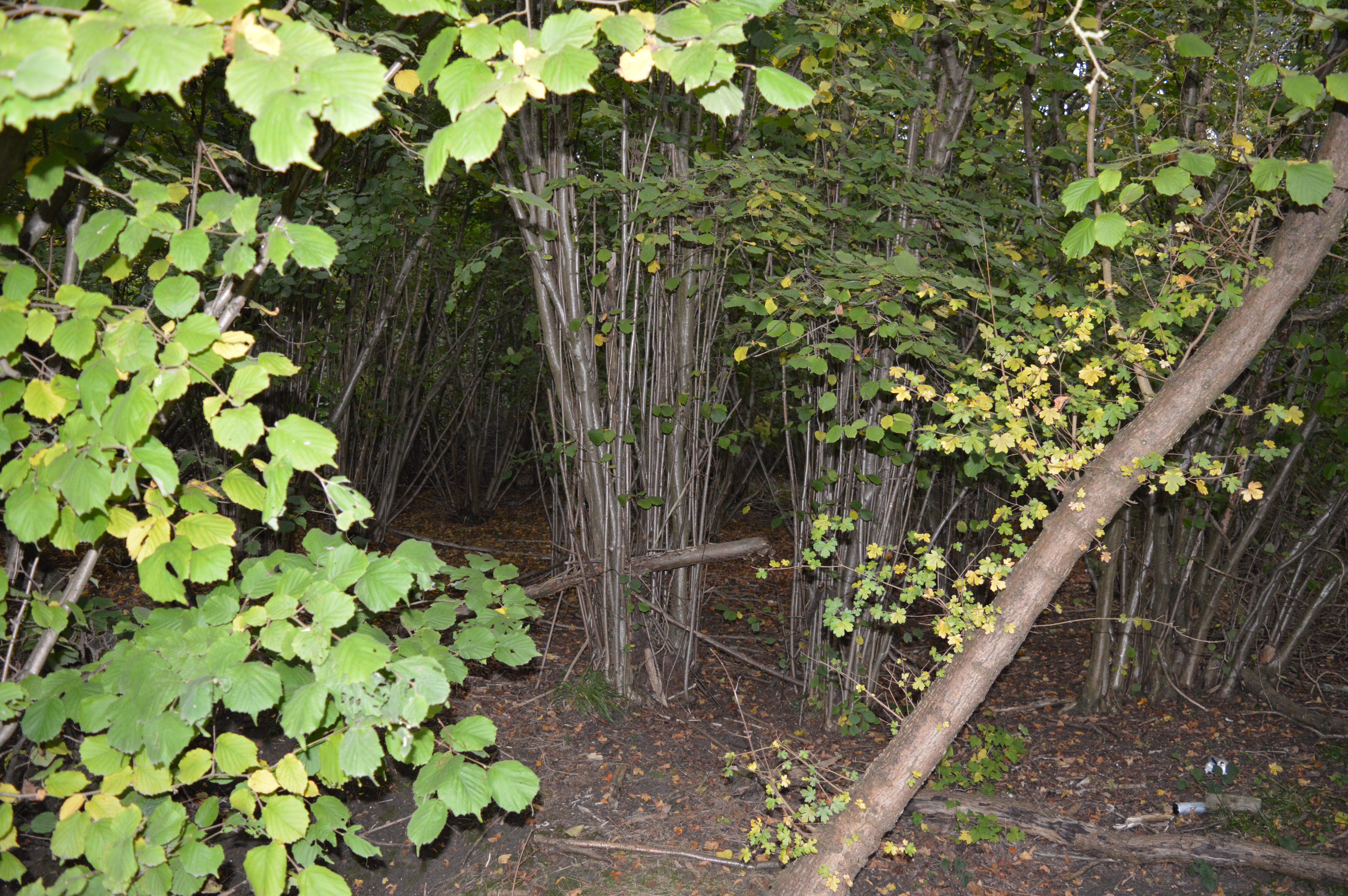
Surrounded by beautiful countryside, Gaunt's End offers its residents and visitors ample opportunities for outdoor activities. The village is blessed with several walking trails and cycling paths, making it an ideal destination for nature enthusiasts. The nearby Gaunt's End Woods is a popular spot for nature walks, with its diverse flora and fauna, while the stunning Gaunt's End Lake provides a serene setting for boating and fishing.

Despite its small size, Gaunt's End is well-served in terms of amenities. The village has a local pub, The Gauntlet, which is a hub for socializing and enjoying traditional English cuisine. Additionally, there is a village hall that hosts various community events throughout the year, fostering a strong sense of community spirit.

In conclusion, Gaunt's End is a charming and historic village in Essex, England, offering a peaceful retreat for those seeking a rural escape. With its beautiful surroundings, rich history, and close-knit community, Gaunt's End is a true gem within the county.

If you have any feedback on the listing, please let us know in the comments section below.
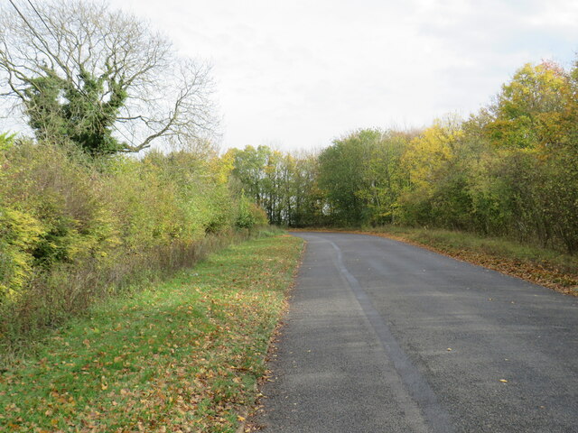
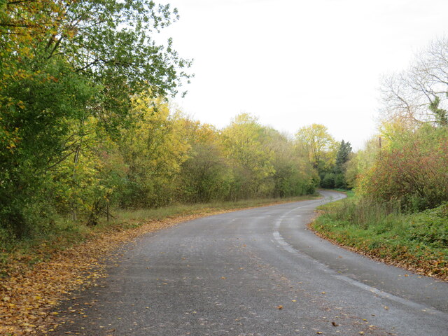
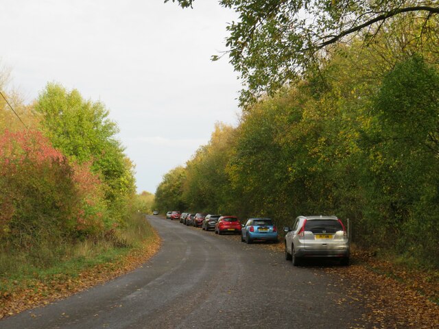
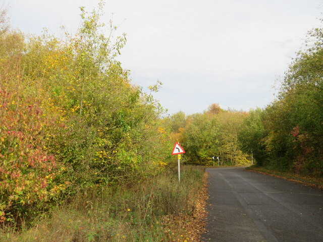
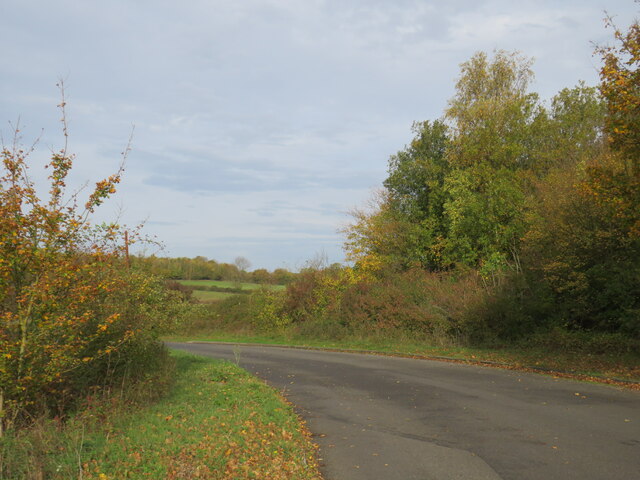
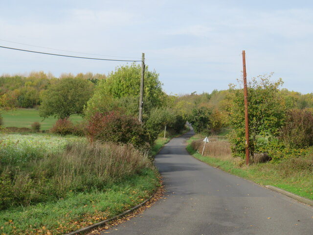
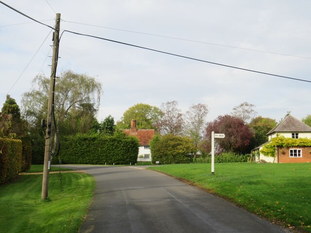
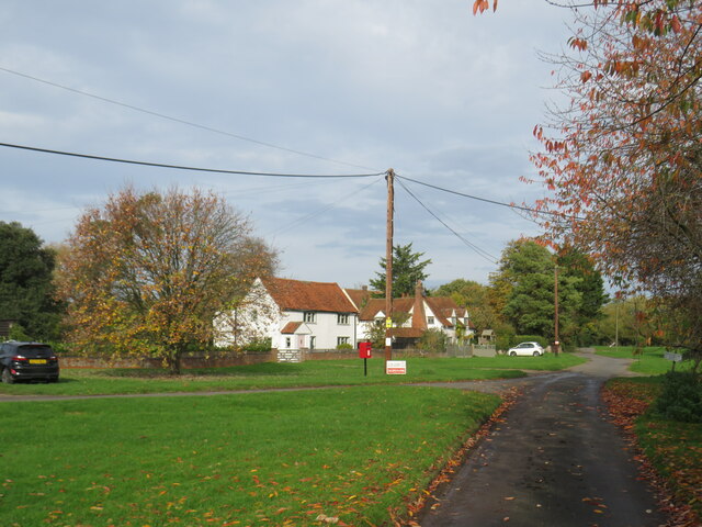
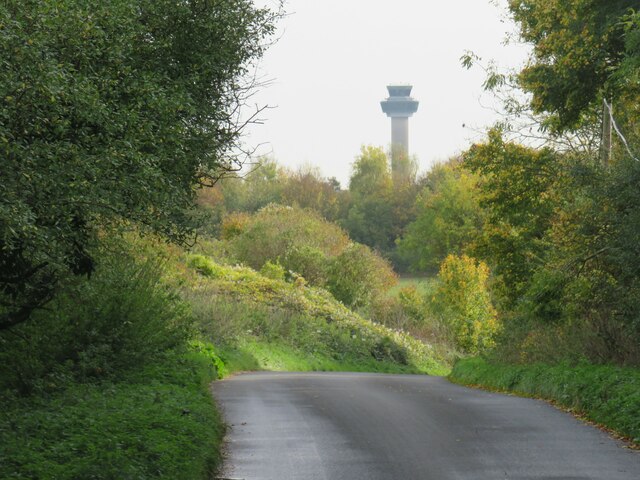
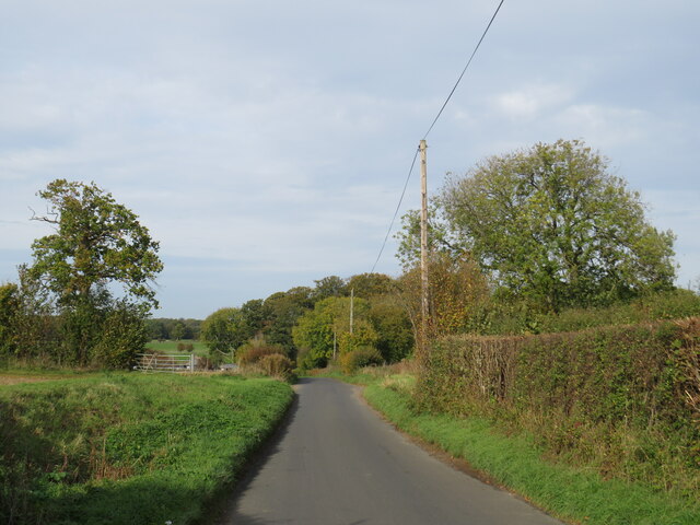
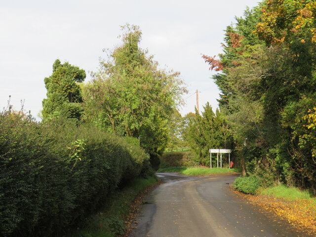
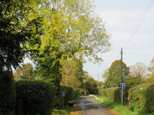
Gaunt's End Images

Images are sourced within 2km of 51.905505/0.253221 or Grid Reference TL5525. Thanks to Geograph Open Source API. All images are credited.

Class 170 Multiple Unit at Stansted Airport
Belmer Road, near Stansted Airport Belmer Road is a minor road in north Essex countryside.  Stansted Airport lies beyond the row of trees ahead.

This image was taken on a late October day.  Trees are turning yellow as they prepare to shed their leaves for the winter.  Leaves which have already fallen lie either side of the road.
Belmer Road, near Stansted Airport
Belmer Road is a minor road in north Essex countryside. Stansted Airport lies beyond the row of trees ahead. This image was taken on a late October day. Trees are turning yellow as they prepare to shed their leaves for the winter. Leaves which have already fallen lie either side of the road.
Belmer Road, near Stansted Airport Belmer Road is a minor road in north Essex countryside, very close to Stansted Airport.

This image was taken on a late October day.  Trees are turning yellow as they prepare to shed their leaves for the winter.  Leaves which have already fallen lie either side of the road.
Belmer Road, near Stansted Airport
Belmer Road is a minor road in north Essex countryside, very close to Stansted Airport. This image was taken on a late October day. Trees are turning yellow as they prepare to shed their leaves for the winter. Leaves which have already fallen lie either side of the road.
Belmer Road, near Stansted Airport Belmer Road is a minor road in north Essex countryside.  Stansted Airport lies beyond the row of trees to the right.  The parked cars belong to people watching aircraft landing and taking off.

This image was taken on a late October day.  Trees are turning yellow as they prepare to shed their leaves for the winter.  Leaves which have already fallen lie either side of the road.
Belmer Road, near Stansted Airport
Belmer Road is a minor road in north Essex countryside. Stansted Airport lies beyond the row of trees to the right. The parked cars belong to people watching aircraft landing and taking off. This image was taken on a late October day. Trees are turning yellow as they prepare to shed their leaves for the winter. Leaves which have already fallen lie either side of the road.
Belmer Road, near Stansted Airport Belmer Road is a minor road in north Essex countryside.  Stansted Airport lies behind the row of trees on the opposite side of the road.

This image was taken on a late October day.  Trees are turning yellow as they prepare to shed their leaves for the winter.  Leaves which have already fallen lie either side of the road.
Belmer Road, near Stansted Airport
Belmer Road is a minor road in north Essex countryside. Stansted Airport lies behind the row of trees on the opposite side of the road. This image was taken on a late October day. Trees are turning yellow as they prepare to shed their leaves for the winter. Leaves which have already fallen lie either side of the road.
Claypit Hill, near Stansted Airport Claypit Hill is a minor road in north Essex countryside, close to Stansted Airport.

This image was taken on a late October day.  Trees are turning yellow as they prepare to shed their leaves for the winter.  Leaves which have already fallen lie either side of the road.
Claypit Hill, near Stansted Airport
Claypit Hill is a minor road in north Essex countryside, close to Stansted Airport. This image was taken on a late October day. Trees are turning yellow as they prepare to shed their leaves for the winter. Leaves which have already fallen lie either side of the road.
Claypit Hill, near Stansted Airport Claypit Hill is a minor road in north Essex countryside.

This image was taken on a late October day.  Trees are turning yellow as they prepare to shed their leaves for the winter.  Leaves which have already fallen lie to the side of the road.
Claypit Hill, near Stansted Airport
Claypit Hill is a minor road in north Essex countryside. This image was taken on a late October day. Trees are turning yellow as they prepare to shed their leaves for the winter. Leaves which have already fallen lie to the side of the road.
Claypit Hill, Tye Green, near Elsenham Claypit Hill passing through the small hamlet of Tye Green in north Essex.
Claypit Hill, Tye Green, near Elsenham
Claypit Hill passing through the small hamlet of Tye Green in north Essex.
Tye Green, near Elsenham Tye Green is a small hamlet in north Essex.  This image was taken on a late October day.  Trees were shedding their leaves for the winter.
Tye Green, near Elsenham
Tye Green is a small hamlet in north Essex. This image was taken on a late October day. Trees were shedding their leaves for the winter.
Claypit Hill, near Stansted Airport Claypit Hill is a minor road in the north Essex countryside.  It is close to Stansted Airport, the airport's control tower stands tall in the background.
Claypit Hill, near Stansted Airport
Claypit Hill is a minor road in the north Essex countryside. It is close to Stansted Airport, the airport's control tower stands tall in the background.
Tye Green Road, Tye Green, near Elsenham Tye Green Road is a minor road in the north Essex countryside.
Tye Green Road, Tye Green, near Elsenham
Tye Green Road is a minor road in the north Essex countryside.
Tye Green Road, Tye Green, near Elsenham Tye Green Road approaching the small hamlet of Tye Green in north Essex.

This image was taken on a late October day.  Trees alongside the road are turning autumnal shades of golden yellow, as they prepare to shed their leaves for the winter.
Tye Green Road, Tye Green, near Elsenham
Tye Green Road approaching the small hamlet of Tye Green in north Essex. This image was taken on a late October day. Trees alongside the road are turning autumnal shades of golden yellow, as they prepare to shed their leaves for the winter.
Tye Green Road, near Elsenham Tye Green Road is a minor road through north Essex countryside.

This image was taken on a late October day.  The tree on the opposite side of the road has laready shed its leaves for winter.
Tye Green Road, near Elsenham
Tye Green Road is a minor road through north Essex countryside. This image was taken on a late October day. The tree on the opposite side of the road has laready shed its leaves for winter.
Tye Green Road, near Elsenham Tye Green Road is a minor road through north Essex countryside.
Tye Green Road, near Elsenham
Tye Green Road is a minor road through north Essex countryside.
Tye Green Road, near Elsenham Tye Green Road is a minor road through north Essex countryside.

This image was taken on a late October day.  The tree ahead is in the process of shedding its leaves for the approaching winter.
Tye Green Road, near Elsenham
Tye Green Road is a minor road through north Essex countryside. This image was taken on a late October day. The tree ahead is in the process of shedding its leaves for the approaching winter.
Tye Green Road, near Elsenham Tye Green Road is a minor road through north Essex countryside.
Tye Green Road, near Elsenham
Tye Green Road is a minor road through north Essex countryside.
Tye Green Road, near Elsenham Tye Green Road is minor road through north Essex countryside.  At the junction ahead, Tye Green Road continues straight ahead, but becomes a no through road.  Through traffic must turn to the right.

This image was taken on a late October day.  Trees to the right are turning golden brown before shedding their leaves for the winter.  There are already plenty of fallen leaves by the roadside.
Tye Green Road, near Elsenham
Tye Green Road is minor road through north Essex countryside. At the junction ahead, Tye Green Road continues straight ahead, but becomes a no through road. Through traffic must turn to the right. This image was taken on a late October day. Trees to the right are turning golden brown before shedding their leaves for the winter. There are already plenty of fallen leaves by the roadside.
Tye Green Road, Fuller's End, near Elsenham Tye Green Road in the small hamlet of Fuller's End in north Essex.  Signs indicate that the road is a no through road.

This image was taken on a late October day.  Trees were turning golden-yellow as they prepared to shed their leaves for the winter.  There are already fallen leaves by the side of the road.
Tye Green Road, Fuller's End, near Elsenham
Tye Green Road in the small hamlet of Fuller's End in north Essex. Signs indicate that the road is a no through road. This image was taken on a late October day. Trees were turning golden-yellow as they prepared to shed their leaves for the winter. There are already fallen leaves by the side of the road.
Show me another place!

Gaunt's End is located at Grid Ref: TL5525 (Lat: 51.905505, Lng: 0.253221)

Administrative County: Essex

District: Uttlesford

Police Authority: Essex

What 3 Words

///twitches.relief.thumbnail. Near Elsenham, Essex

Nearby Locations

Gaunt's End

Related Wikis

Elsenham Woods

Elsenham Woods is a 44.4-hectare (110-acre) biological Site of Special Scientific Interest east of Elsenham in Essex. It was notified under Section 28...

Molehill Green

Molehill Green is a hamlet in Takeley parish in Essex, England, close to the perimeter of London Stansted Airport, The hamlet consists of approximately...

Pledgdon Green

Pledgdon Green, also known as Pledgdon or Prison Green, is a hamlet in the parish of Henham, in the Uttlesford district of Essex, England. The hamlet is...

Stansted Airport Transit System

The Stansted Airport Track Transit System (TTS) is a fully automated people mover system which operates within London Stansted Airport in the United Kingdom...

Nearby Amenities

Located within 500m of 51.905505,0.253221
Industrial Estate
Naptan AtcoCode: 1500JMD001
Naptan Bearing: N
Naptan BusStopType: CUS
Naptan CommonName: Industrial Estate
Naptan Indicator: o/s
Naptan Landmark: Industrial Estate
Naptan NaptanCode: esxgwajm
Naptan Street: Green Street
Naptan Verified: no
Source: naptan_import
Lat/Long: 51.9061088/0.2517388
DeSalis Hotel
Naptan AtcoCode: 1500JMD017
Naptan Bearing: E
Naptan BusStopType: CUS
Naptan CommonName: Gaunts End
Naptan Crossing: Green Street
Naptan Indicator: E-bound
Naptan Landmark: Gaunts End
Naptan NaptanCode: esxgwgmg
Naptan Street: Waltham Hall Road
Naptan Verified: no
Public Transport: platform
Source: naptan_import
Lat/Long: 51.9061415/0.2537905
DeSalis Hotel
Naptan AtcoCode: 1500JMD017B
Naptan Bearing: W
Naptan BusStopType: CUS
Naptan CommonName: Gaunts End
Naptan Crossing: Green Street
Naptan Indicator: W-bound
Naptan Landmark: Gaunts End
Naptan NaptanCode: esxgwgmj
Naptan Street: Waltham Hall Road
Naptan Verified: no
Public Transport: platform
Source: naptan_import
Lat/Long: 51.9060982/0.2537011
Gaunt's End
Place: hamlet
Source: survey
Lat/Long: 51.9055107/0.2527729
Bus Stop
Molehill Green
Bus: yes
Fixme: check position
Public Transport: platform
Lat/Long: 51.905165/0.2515162
Cafe
The Water Café
Ref: http://www.elsenhamwater.com/pages/watercafe.html
Lat/Long: 51.905079/0.2524095
Restaurant
Lat/Long: 51.9073574/0.2526896
Post Box
Lat/Long: 51.9054035/0.2516861
Barrier: lift_gate
Motor Vehicle: no
Lat/Long: 51.9067975/0.2499411
Turning Circle
Lat/Long: 51.9064648/0.2511164
Power: substation
Lat/Long: 51.9061051/0.2516392
The data included in this document is from www.openstreetmap.org. The data is made available under ODbL.

Have you been to Gaunt's End?

Leave your review of Gaunt's End below (or comments, questions and feedback).