Gatwick

Settlement in Gloucestershire Forest of Dean

England

Gatwick

Vale of Gloucester Looking south-east from the A48 at Chaxhill.
Cotswold scarp in the distance.
Vale of Gloucester Credit: Jonathan Billinger

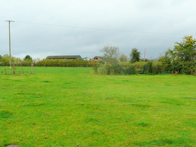
Gatwick is a small village located in the county of Gloucestershire, in the southwest region of England. Situated approximately 10 miles southeast of the city of Gloucester, Gatwick is nestled in the picturesque countryside, surrounded by rolling hills and lush green fields.

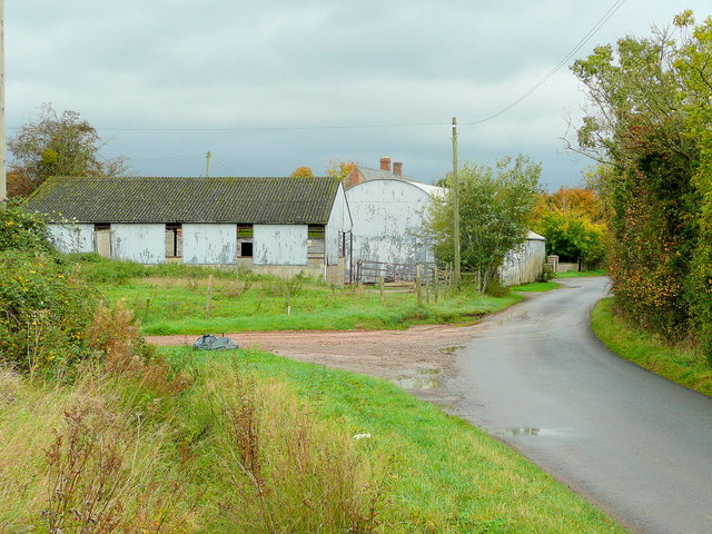
The village has a population of around 500 residents, offering a close-knit community atmosphere. Its origins can be traced back to the medieval period, and evidence of its history can still be seen in the charming architecture of some of the older buildings.

Gatwick is primarily a residential area, with a few local amenities to cater to the needs of its residents. These include a village hall, a small convenience store, and a traditional pub, providing a warm and friendly gathering place for locals and visitors alike.

The village is also known for its beautiful natural surroundings, making it an ideal destination for nature enthusiasts. The nearby Cotswold Hills offer stunning scenic walks and hikes, with breathtaking views of the surrounding countryside. Additionally, the River Severn flows nearby, providing opportunities for fishing and boating.

Despite its relatively small size, Gatwick benefits from its proximity to larger towns and cities. Gloucester, with its array of shops, restaurants, and cultural attractions, is easily accessible, offering residents a wider range of services and entertainment options.

In summary, Gatwick is a tranquil village in Gloucestershire, offering a peaceful rural lifestyle, picturesque landscapes, and a strong sense of community.

If you have any feedback on the listing, please let us know in the comments section below.
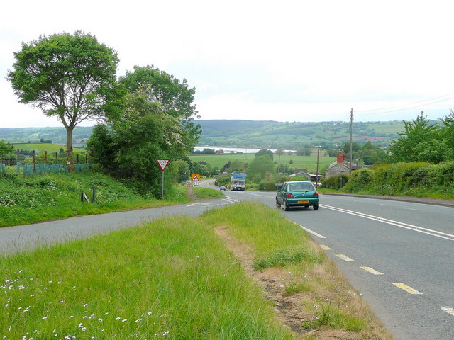
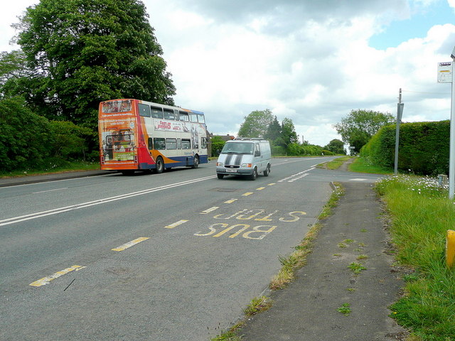
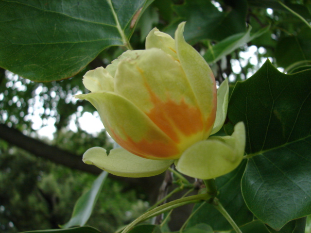
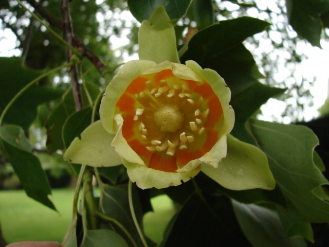
Gatwick Images

Images are sourced within 2km of 51.821352/-2.383237 or Grid Reference SO7313. Thanks to Geograph Open Source API. All images are credited.

Vale of Gloucester Looking south-east from the A48 at Chaxhill.
Cotswold scarp in the distance.
Vale of Gloucester
Looking south-east from the A48 at Chaxhill. Cotswold scarp in the distance.
Blue lorry on the A48 Looking north-east towards Gloucester at Chaxhill.
Blue lorry on the A48
Looking north-east towards Gloucester at Chaxhill.
Bus shelter by the A48 View north-east towards Gloucester.
Bus shelter by the A48
View north-east towards Gloucester.
A48 Stantway Hill Looking towards the Severn and Westbury.
A48 Stantway Hill
Looking towards the Severn and Westbury.
A48, Stantway The bus is Gloucester-bound and the van is heading towards Newnham.
A48, Stantway
The bus is Gloucester-bound and the van is heading towards Newnham.
Tulip on the tulip tree One of many unusual tulip shaped flowers on this large Liridendron tulipifera which dominates the south of the formal gardens.
Tulip on the tulip tree
One of many unusual tulip shaped flowers on this large Liridendron tulipifera which dominates the south of the formal gardens.
The eye of the tulip Close up of one of the flowers on the tulip tree in Westbury Court Gardens.
The eye of the tulip
Close up of one of the flowers on the tulip tree in Westbury Court Gardens.
Farm buildings at Cleeve 1 Gravel Farm viewed from the Rodley Road.
Farm buildings at Cleeve 1
Gravel Farm viewed from the Rodley Road.
Farm buildings at Cleeve 2 Autumnal version of <a href="https://www.geograph.org.uk/photo/1217151">SO7212 : Corrugated barns</a> taken over two and a half years earlier. Not quite as grey!
Farm buildings at Cleeve 2
Autumnal version of SO7212 : Corrugated barns taken over two and a half years earlier. Not quite as grey!
Three-way junction at Adsett Church Lane, although clearly narrower, is the more direct route to Northwood Green.
The tree looks like a walnut.
Three-way junction at Adsett
Church Lane, although clearly narrower, is the more direct route to Northwood Green. The tree looks like a walnut.
Adsett Lane Autumnal scene heading north from Westbury.
Adsett Lane
Autumnal scene heading north from Westbury.
Holly berries at Adsett This scene won't remain for long once the winter weather sets in.
Sign is for the footpath south-west towards Westbury.
Holly berries at Adsett
This scene won't remain for long once the winter weather sets in. Sign is for the footpath south-west towards Westbury.
Grange Court Road Looking north towards Northwood Green.
The entrance for Morwents Farm is on the left.
Grange Court Road
Looking north towards Northwood Green. The entrance for Morwents Farm is on the left.
Pasture and lane Near Pinnock's Place.
Pasture and lane
Near Pinnock's Place.
Sheep on green pasture Looking towards Morwents Farm with the wooded flank of Hunt Hill to the left.
Sheep on green pasture
Looking towards Morwents Farm with the wooded flank of Hunt Hill to the left.
Track onto Walmore Common Accessing a remote part of the lower Severn floodplain.
Track onto Walmore Common
Accessing a remote part of the lower Severn floodplain.
Victorian postbox In the wall by Morwents Farm house.
Victorian postbox
In the wall by Morwents Farm house.
The Tall Pavilion Westbury Court Garden was designed and built by Maynard Colchester between 1696 and 1705. It is a rare surviving example of 17th C gardening in The Dutch Style. Currently in the custodianship of the National Trust the garden can be viewed from this pavilion.
The Tall Pavilion
Westbury Court Garden was designed and built by Maynard Colchester between 1696 and 1705. It is a rare surviving example of 17th C gardening in The Dutch Style. Currently in the custodianship of the National Trust the garden can be viewed from this pavilion.
Show me another place!

Gatwick is located at Grid Ref: SO7313 (Lat: 51.821352, Lng: -2.383237)

Administrative County: Gloucestershire

District: Forest of Dean

Police Authority: Gloucestershire

What 3 Words

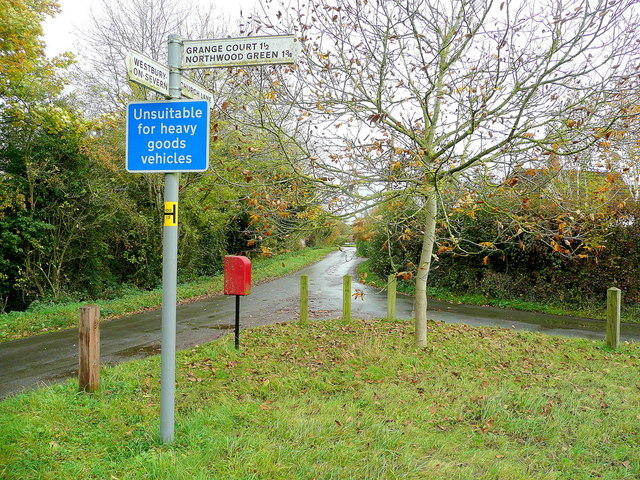
///bond.riskiest.gent. Near Huntley, Gloucestershire

Nearby Locations

Stantway Gatwick

Related Wikis

Walmore Common

Walmore Common (grid reference SO740162 & grid reference SO745150) is a 57.78-hectare (142.8-acre) nature reserve on the flood-plain of the River Severn...

Westbury Court Garden

Westbury Court Garden is a Dutch water garden in Westbury-on-Severn, Gloucestershire, England, 9 miles (14 km) southwest of Gloucester. It is a rare survival...

Garden Cliff

Garden Cliff (grid reference SO718128) is a 5.1-hectare (13-acre) geological Site of Special Scientific Interest in Gloucestershire, notified in 1954....

Westbury-on-Severn

Westbury-on-Severn is a rural village in England that is the centre of the large, rural parish, also called Westbury-on-Severn. == Location == The village...

Nearby Amenities

Located within 500m of 51.821352,-2.383237
Stantway
Is In: Gloucestershire, England, UK
Place: village
Source: NPE
Lat/Long: 51.8212532/-2.3898345
Booth: K6
Covered: booth
Disused Amenity: telephone
Man Made: telephone_box
Lat/Long: 51.821781/-2.3881344
Bus Stop
Rock & Fountain Ln
Naptan AtcoCode: 1600GL2121
Naptan Bearing: W
Naptan CommonName: Rock & Fountain Ln
Naptan Indicator: Opp
Naptan NaptanCode: gloapamp
Naptan Street: Stantway Ln
Naptan Verified: no
Source: naptan_import
Lat/Long: 51.8213381/-2.3818586
Bus Stop
Rock & Fountain Ln
Naptan AtcoCode: 1600GL2122
Naptan Bearing: E
Naptan CommonName: Rock & Fountain Ln
Naptan NaptanCode: gloapamg
Naptan Street: Stantway Ln
Naptan Verified: no
Source: naptan_import
Lat/Long: 51.8214303/-2.3818881
Bus Stop
Council Houses
Naptan AtcoCode: 1600GL4409
Naptan Bearing: S
Naptan CommonName: Council Houses
Naptan Indicator: Opp
Naptan NaptanCode: gloamwpg
Naptan Street: Rock Ln
Naptan Verified: no
Source: naptan_import
Lat/Long: 51.8222369/-2.3881629
Bus Stop
Council Houses
Naptan AtcoCode: 1600GL4410
Naptan Bearing: N
Naptan CommonName: Council Houses
Naptan NaptanCode: gloamwpd
Naptan Street: Rock Ln
Naptan Verified: no
Source: naptan_import
Lat/Long: 51.8222456/-2.3882645
Power: pole
Source: Bing
Lat/Long: 51.8204234/-2.3777541
Addr Housename: Madden Cottage
Landuse: residential
Source: survey
Lat/Long: 51.8192197/-2.3777112
Stanley
Place: hamlet
Lat/Long: 51.8192073/-2.3782709
Power: pole
Lat/Long: 51.8198038/-2.3802306
Power: pole
Lat/Long: 51.8193337/-2.382103
Power: pole
Lat/Long: 51.819422/-2.3853865
Power: pole
Lat/Long: 51.8194862/-2.3869945
Power: pole
Lat/Long: 51.8195792/-2.3894338
The data included in this document is from www.openstreetmap.org. The data is made available under ODbL.

Have you been to Gatwick?

Leave your review of Gatwick below (or comments, questions and feedback).