Loch Dubhat
Lake, Pool, Pond, Freshwater Marsh in Inverness-shire
Scotland
Loch Dubhat
The requested URL returned error: 429 Too Many Requests
If you have any feedback on the listing, please let us know in the comments section below.
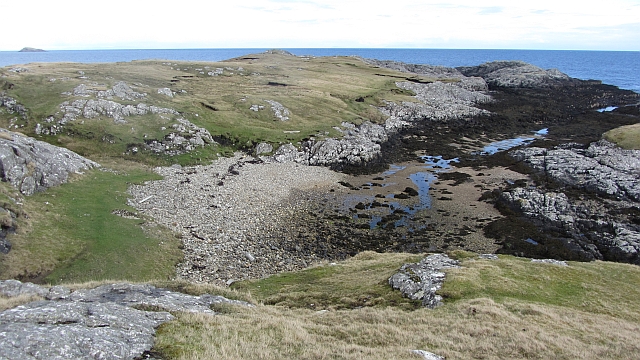
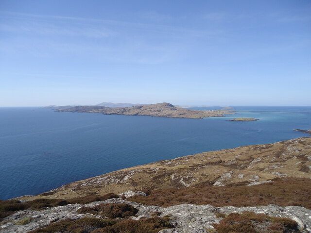
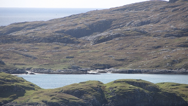
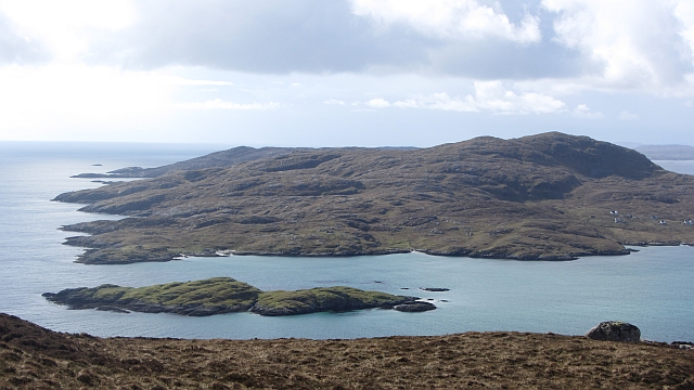
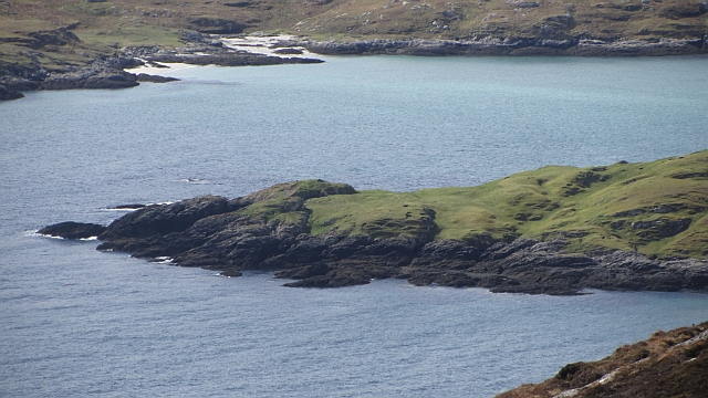
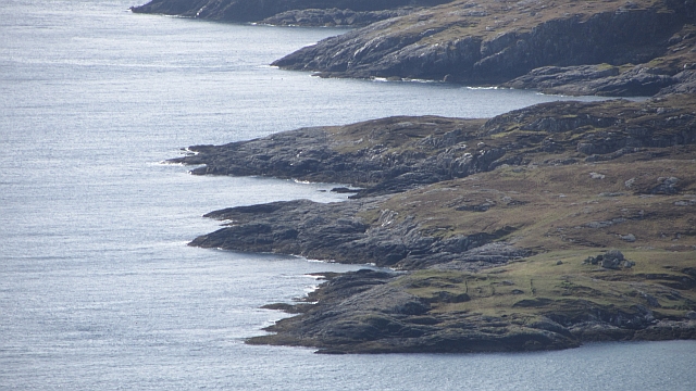
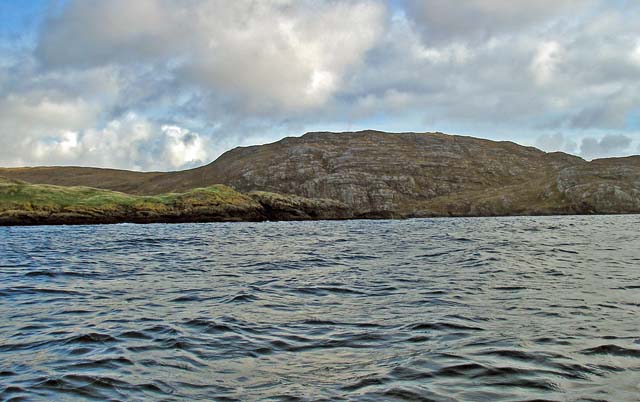
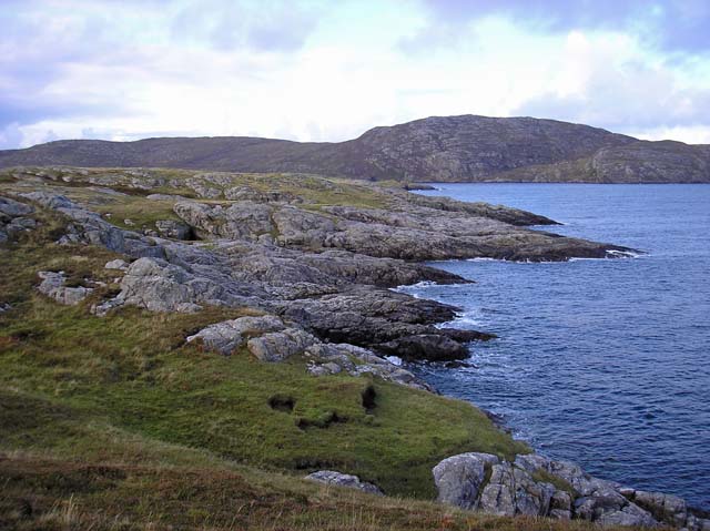
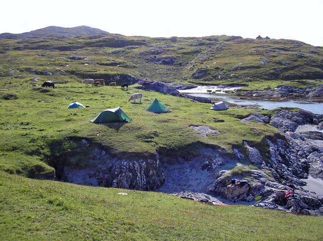
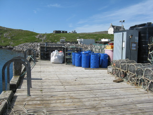
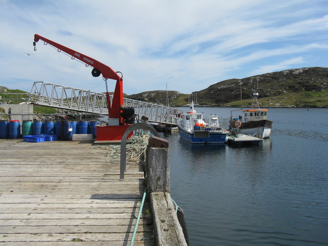
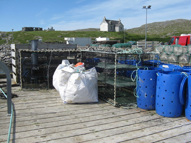
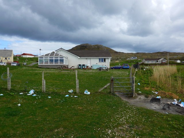
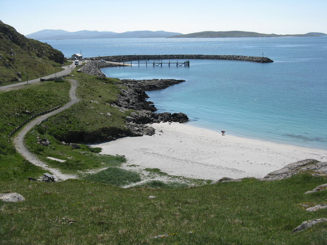
Loch Dubhat Images
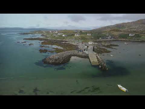
Images are sourced within 2km of 57.081239/-7.279233 or Grid Reference NF8011. Thanks to Geograph Open Source API. All images are credited.

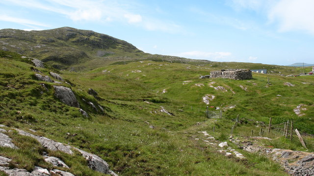
![Ruined croft at Rosinish. Maybe this was once a traditional &#039;black house&#039;, though the windows look a trifle large. Note that the photographer&#039;s rather dated OS map shows the Anglicised &#039;Rosinish&#039;, whereas the up to date map extract on the website shows the Gaelic form [Roisinis].](https://s0.geograph.org.uk/photos/50/45/504568_38463960.jpg)

Loch Dubhat is located at Grid Ref: NF8011 (Lat: 57.081239, Lng: -7.279233)
Unitary Authority: Na h-Eileanan an Iar
Police Authority: Highlands and Islands
What 3 Words
///firewall.adjusting.cherry. Near Lochboisdale, Na h-Eileanan Siar
Nearby Locations
Related Wikis

Beinn Sciathan
Ben Scrien, is the highest point on the Outer Hebridean island of Eriskay. Described as an apparently "uninspiring lump" (Michael Fitzpatrick, 2012) it...

Eriskay
Eriskay (Scottish Gaelic: Èirisgeigh), from the Old Norse for "Eric's Isle", is an island and community council area of the Outer Hebrides in northern...

Calvay
Calvay (Scottish Gaelic: Calbhaigh) is a currently uninhabited island situated in the Sound of Eriskay in the Outer Hebrides, at grid reference NF810126...

St Michael's Church, Eriskay
St Michael's Church (also known as St Michael's of the Sea) is a Category C listed building in Eriskay, South Uist, Scotland. Of Roman Catholic denomination...
Related Videos
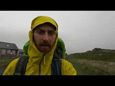
HIking the Hebridean Way - Day 2 Eriskay to Daliburgh
Day 2 of 12 hiking the Hebridean Way #Hebrideanway.

𝖂𝖍𝖎𝖘𝖐𝖞 𝕲𝖆𝖑𝖔𝖗𝖊, 𝕬𝖒 𝕻𝖔𝖑𝖎𝖙𝖎𝖈𝖎𝖆𝖓, 𝕴𝖘𝖑𝖊 𝖔𝖋 𝕰𝖗𝖎𝖘𝖐𝖆𝖞, 𝕰𝖝𝖕𝖑𝖔𝖗𝖎𝖓𝖌 𝕾𝖈𝖔𝖙𝖑𝖆𝖓𝖉'𝖘 𝕳𝖎𝖘𝖙𝖔𝖗𝖞
Whisky Galore, Am Politician, Isle of Eriskay, Exploring Scotland's History The real story of Whisky Galore, that books and films ...
Eriskay 💚🏴💚
Music - Mauve - Here Comes The Sun.

Island Of Eriskay On Visit To The Outer Hebrides Of Scotland
Tour Scotland travel video clip, with Scottish music, of the Island of Eriskay on visit to the Outer Hebrides. Eriskay, Scottish Gaelic: ...
Nearby Amenities
Located within 500m of 57.081239,-7.279233Have you been to Loch Dubhat?
Leave your review of Loch Dubhat below (or comments, questions and feedback).