Gatley End
Settlement in Cambridgeshire South Cambridgeshire
England
Gatley End

Gatley End is a small village located in the county of Cambridgeshire, England. Situated approximately 8 miles south of the city of Cambridge, the village is known for its picturesque countryside setting and tranquil atmosphere.
With a population of around 300 residents, Gatley End offers a tight-knit community feel and a close connection with nature. Surrounded by expansive fields and greenery, the village provides a peaceful escape from the hustle and bustle of city life.
The architecture in Gatley End is predominantly traditional, with charming cottages and farmhouses dotting the landscape. These buildings add to the village's character and contribute to its idyllic charm.
Although small in size, Gatley End benefits from its proximity to larger towns and cities. The nearby city of Cambridge provides access to a range of amenities, including shopping centers, restaurants, and cultural attractions. The village is also well-connected by road, with easy access to major transport routes such as the M11 motorway, allowing residents to easily commute to nearby areas.
Gatley End is surrounded by various walking paths and cycling routes, making it an ideal location for outdoor enthusiasts. The village also boasts several parks and green spaces, providing opportunities for recreational activities and leisurely strolls.
Overall, Gatley End offers a charming and peaceful retreat for those seeking a quiet village lifestyle, with the added advantage of being conveniently located near larger towns and cities.
If you have any feedback on the listing, please let us know in the comments section below.
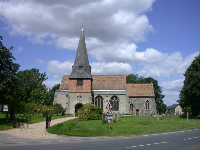
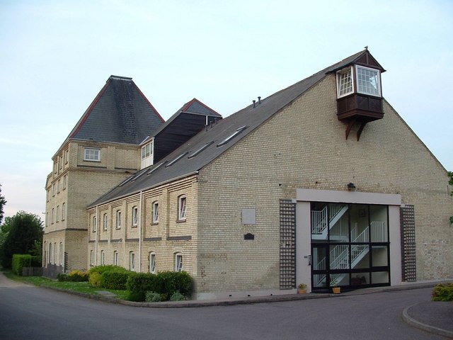
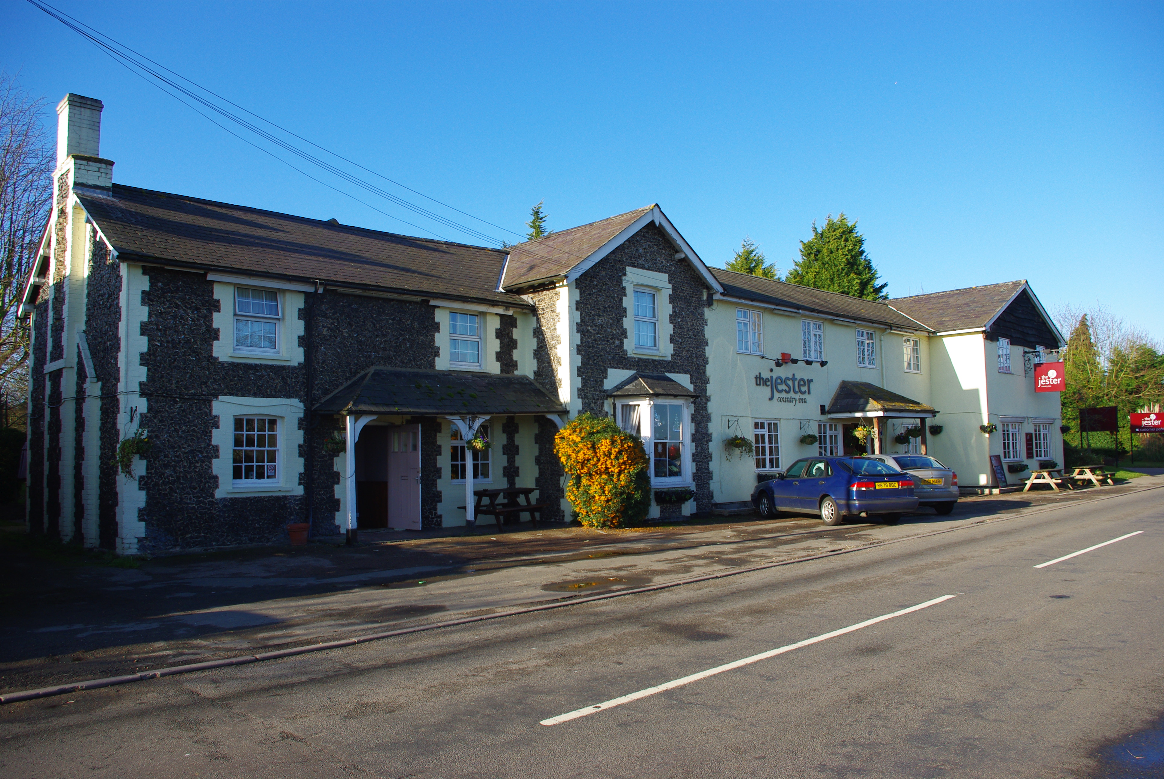
Gatley End Images
Images are sourced within 2km of 52.052381/-0.1201074 or Grid Reference TL2941. Thanks to Geograph Open Source API. All images are credited.


Gatley End is located at Grid Ref: TL2941 (Lat: 52.052381, Lng: -0.1201074)
Administrative County: Cambridgeshire
District: South Cambridgeshire
Police Authority: Cambridgeshire
What 3 Words
///ignites.clarifies.liability. Near Ashwell, Hertfordshire
Nearby Locations
Related Wikis

Steeple Morden
Steeple Morden is a village and civil parish in Cambridgeshire, England, about 15 miles (24 km) south west of Cambridge and 5 miles (8 km) west of Royston...
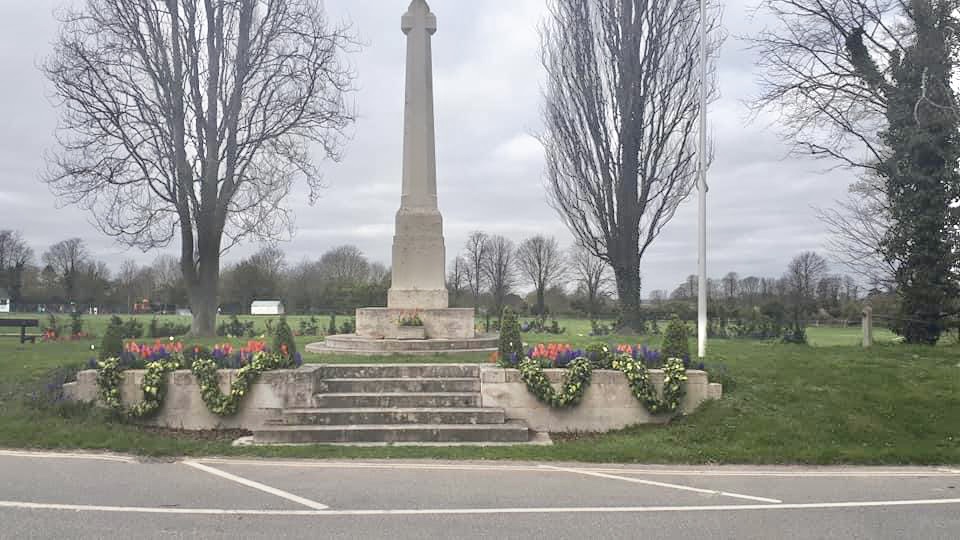
Ashwell War Memorial
Ashwell War Memorial is a war memorial cross in the village of Ashwell in North Hertfordshire, England. The memorial was designed by Sir Edwin Lutyens...

Ashwell Springs
Ashwell Springs is a 0.3-hectare (0.74-acre) biological Site of Special Scientific Interest in Ashwell in Hertfordshire, England. The local planning authority...

Ashwell & Morden railway station
Ashwell & Morden railway station is a wayside railway station in Cambridgeshire, England. Close to the border with the county of Hertfordshire, it is in...
Odsey
Odsey is a hamlet in the civil parish of Steeple Morden, Cambridgeshire, England, close to the border with Hertfordshire. It lies just off the A505 road...

Ashwell Bury
Ashwell Bury, at Ashwell in Hertfordshire, England, is an early 19th-century house of white brick, perhaps originally built before 1836 for Edward George...

St Mary's Church, Ashwell, Hertfordshire
The Church of St Mary the Virgin in Ashwell, in the English county of Hertfordshire, is the Anglican parish church for the village. It comes under the...

Ashwell, Hertfordshire
Ashwell is a village and civil parish in Hertfordshire situated 4 miles (6 km) north-east of Baldock. == History == To the southwest of the village is...
Nearby Amenities
Located within 500m of 52.052381,-0.1201074Have you been to Gatley End?
Leave your review of Gatley End below (or comments, questions and feedback).