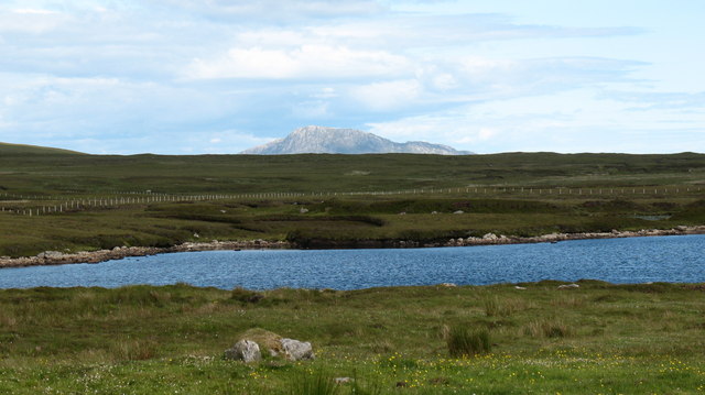
Loch Dubh
Lake, Pool, Pond, Freshwater Marsh in Inverness-shire
Scotland
Loch Dubh
The requested URL returned error: 429 Too Many Requests
If you have any feedback on the listing, please let us know in the comments section below.
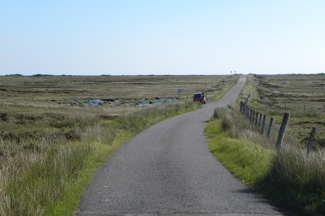
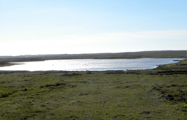
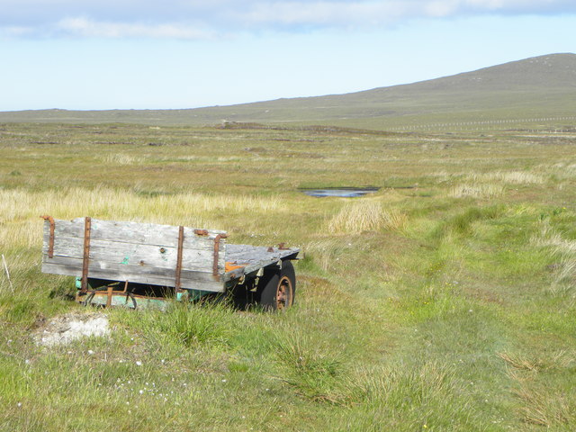
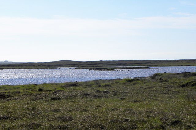
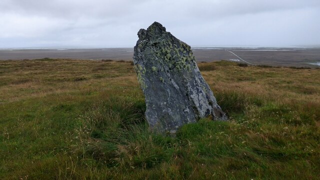
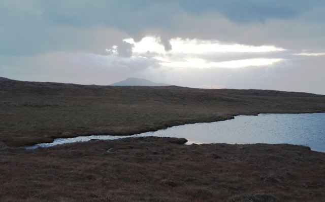
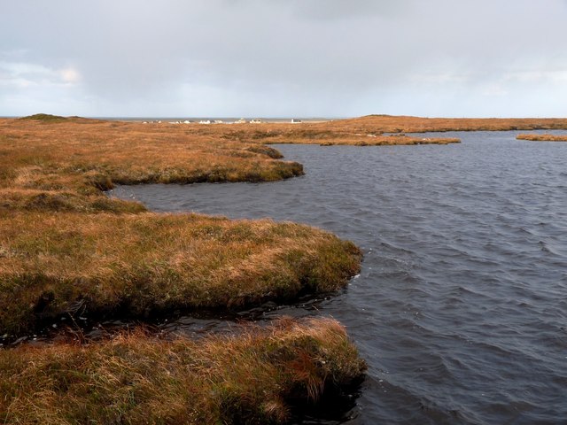
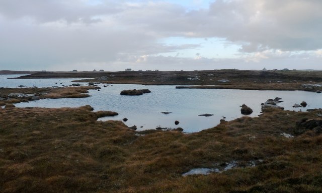
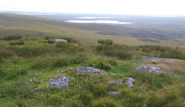
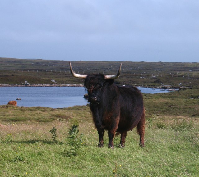
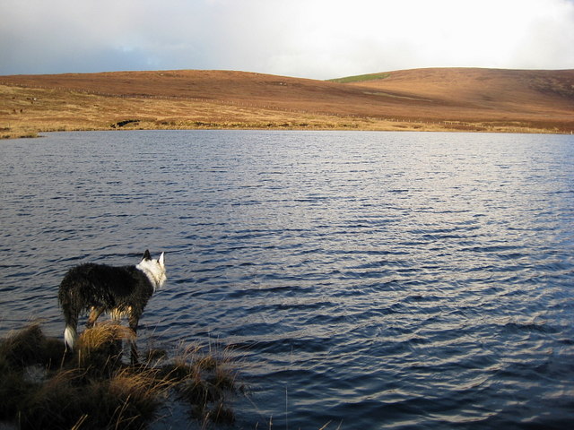
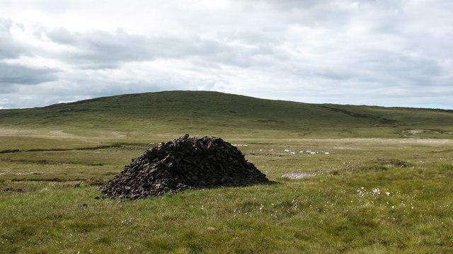
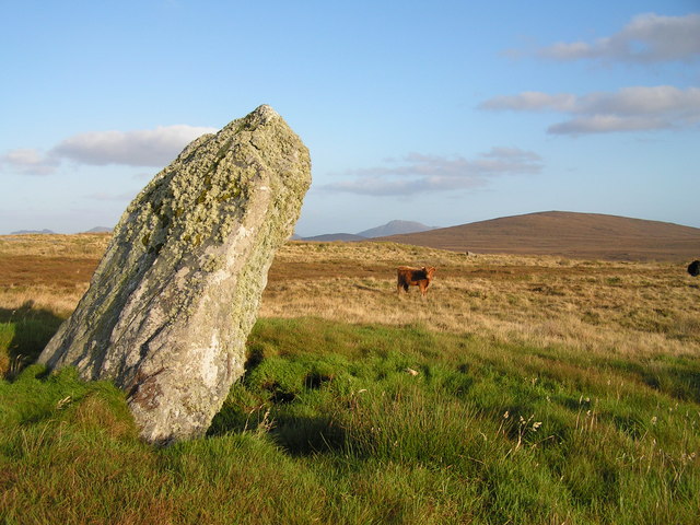
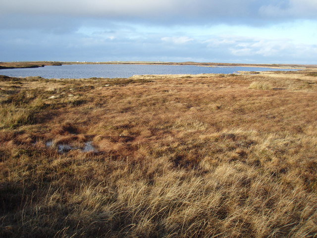
Loch Dubh Images
Images are sourced within 2km of 57.59058/-7.3724254 or Grid Reference NF7968. Thanks to Geograph Open Source API. All images are credited.


![Big red bull with lady friends A big red bull [shorthorn?] with highland cows by Loch a&#039; Chlamhain.](https://s1.geograph.org.uk/geophotos/03/09/45/3094561_a755cfdd.jpg)
Loch Dubh is located at Grid Ref: NF7968 (Lat: 57.59058, Lng: -7.3724254)
Unitary Authority: Na h-Eileanan an Iar
Police Authority: Highlands and Islands
What 3 Words
///revisits.view.superhero. Near Lochmaddy, Na h-Eileanan Siar
Nearby Locations
Related Wikis

North Uist
North Uist (Scottish Gaelic: Uibhist a Tuath; Scots: North Uise) is an island and community in the Outer Hebrides of Scotland. == Etymology == In Donald...

Ardheisker
Ardheisker (Scottish Gaelic: Àird Heillsgeir) is a settlement on North Uist, in the Outer Hebrides, Scotland. Ardheisker is within the parish of North...

Kirkibost
Kirkibost (Scottish Gaelic: Eilean Chirceaboist) is a low-lying island west of North Uist in the Outer Hebrides of Scotland. == Geography == Kirkibost...

RRH Benbecula
Remote Radar Head Benbecula or RRH Benbecula, is an air defence radar station operated by the Royal Air Force. It is located at Cleitreabhal a'Deas, 17...
Have you been to Loch Dubh?
Leave your review of Loch Dubh below (or comments, questions and feedback).