Gateside

Settlement in Renfrewshire

Scotland

Gateside

Dry-stone wall and fence The space between the wall and fence is more worn than the surrounding moorland because, as shown on the map, the route between them is part of a footpath. For a good summary of that path, see <a href="https://www.geograph.org.uk/photo/369064">NS4859 : Paisley - Brownside Braes - Harelaw  Reservoir</a>.

The same fence and wall are shown in <a href="https://www.geograph.org.uk/photo/2308667">NS4860 : Dry-stone wall and fence</a>, which was taken at a point about 270 metres further along the same path.
Dry-stone wall and fence Credit: Lairich Rig

Gateside is a small village located in the county of Renfrewshire, Scotland. Situated on the outskirts of the town of Beith, it is nestled in a picturesque countryside setting. With a population of around 500 residents, Gateside exudes a close-knit community atmosphere.

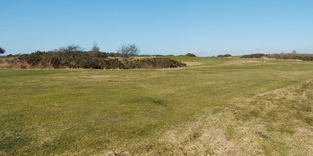
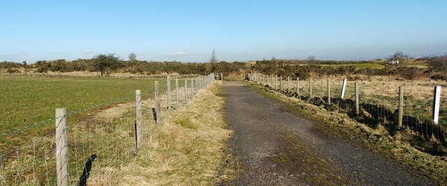
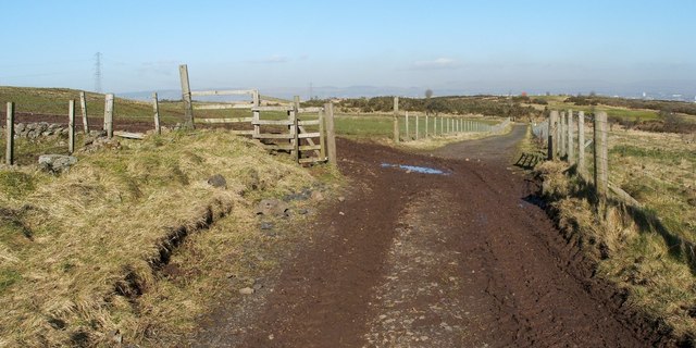
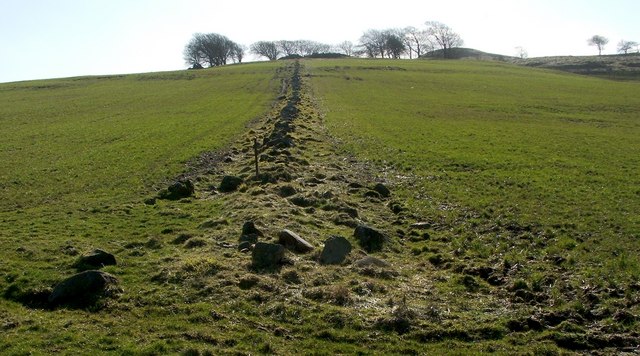
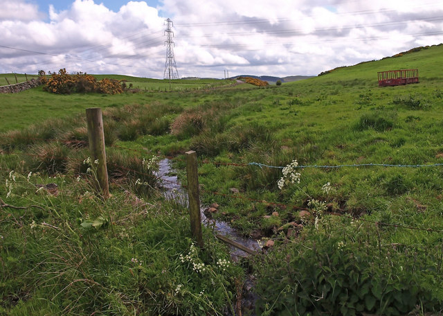
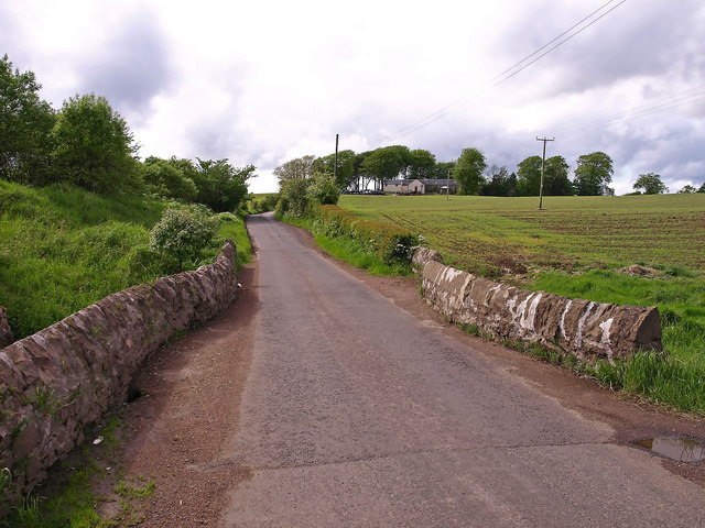
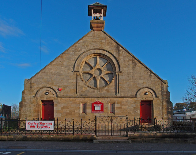
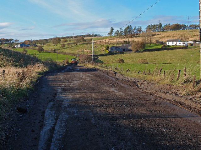
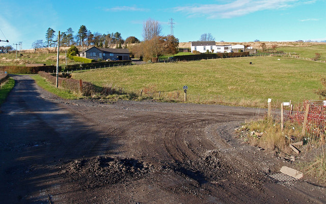
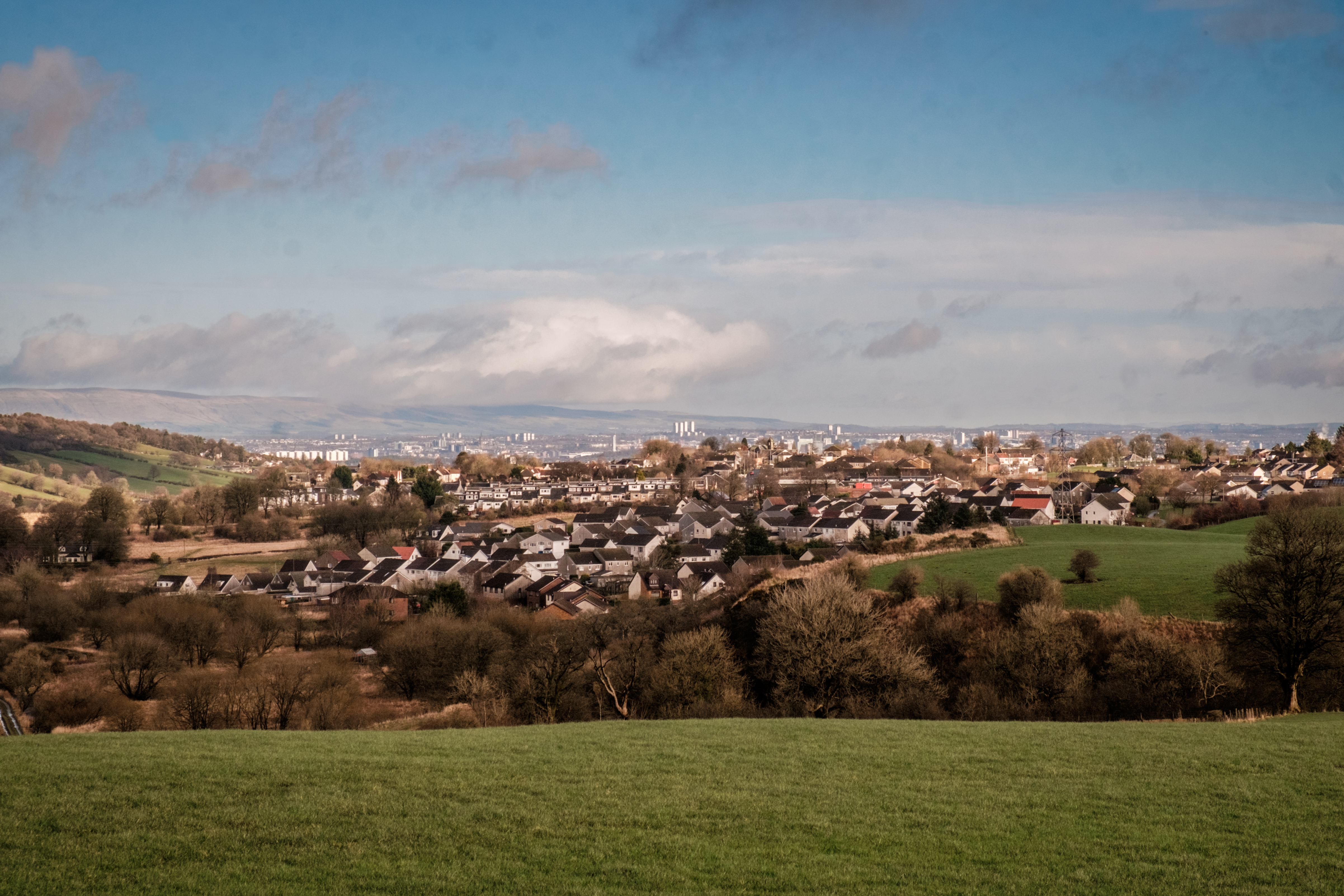
The village is known for its charming, traditional cottages and historic buildings, which add to its rustic appeal. The surrounding landscape is dominated by lush green fields, rolling hills, and scenic views, making Gateside an ideal location for those seeking a peaceful and idyllic lifestyle.

Despite its relatively small size, Gateside offers a range of amenities to its residents. The village boasts a primary school, providing education for local children. Additionally, there is a local convenience store, ensuring that residents have easy access to everyday essentials. For leisure and recreational activities, Gateside benefits from its close proximity to various outdoor spaces, such as nature reserves and parks, allowing residents to enjoy walks, picnics, and other outdoor pursuits.

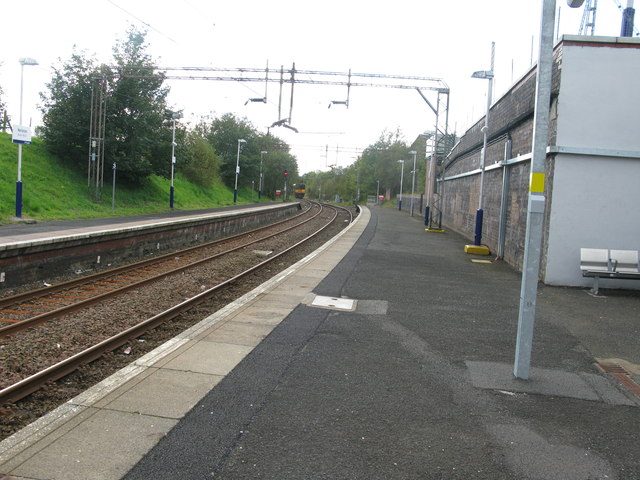
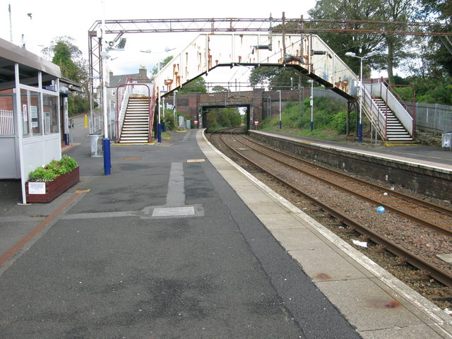
The village is well-connected to neighboring towns and cities. The nearby town of Beith provides additional amenities and services, including shops, restaurants, and public transportation. With good transport links, Gateside offers convenient access to wider Renfrewshire and beyond.

In conclusion, Gateside is a quaint village in Renfrewshire, Scotland, known for its stunning natural surroundings, tight-knit community, and peaceful way of life. It provides a tranquil escape from the hustle and bustle of nearby towns, while still offering essential amenities and convenient transport connections.

If you have any feedback on the listing, please let us know in the comments section below.
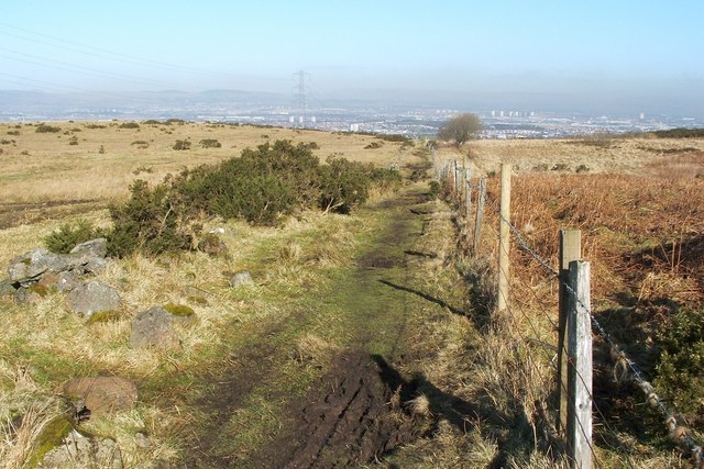
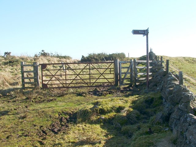
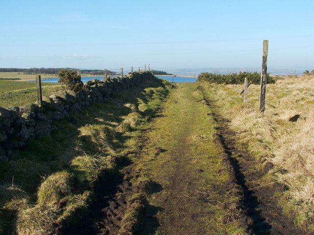
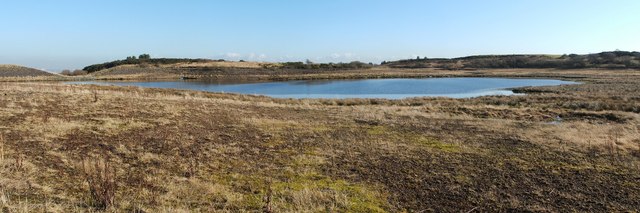
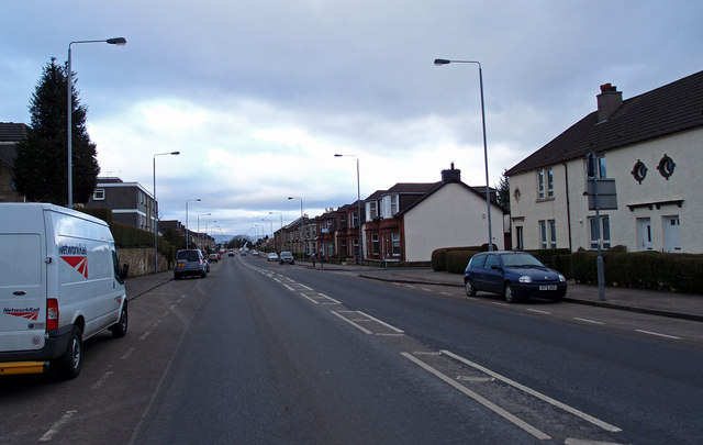
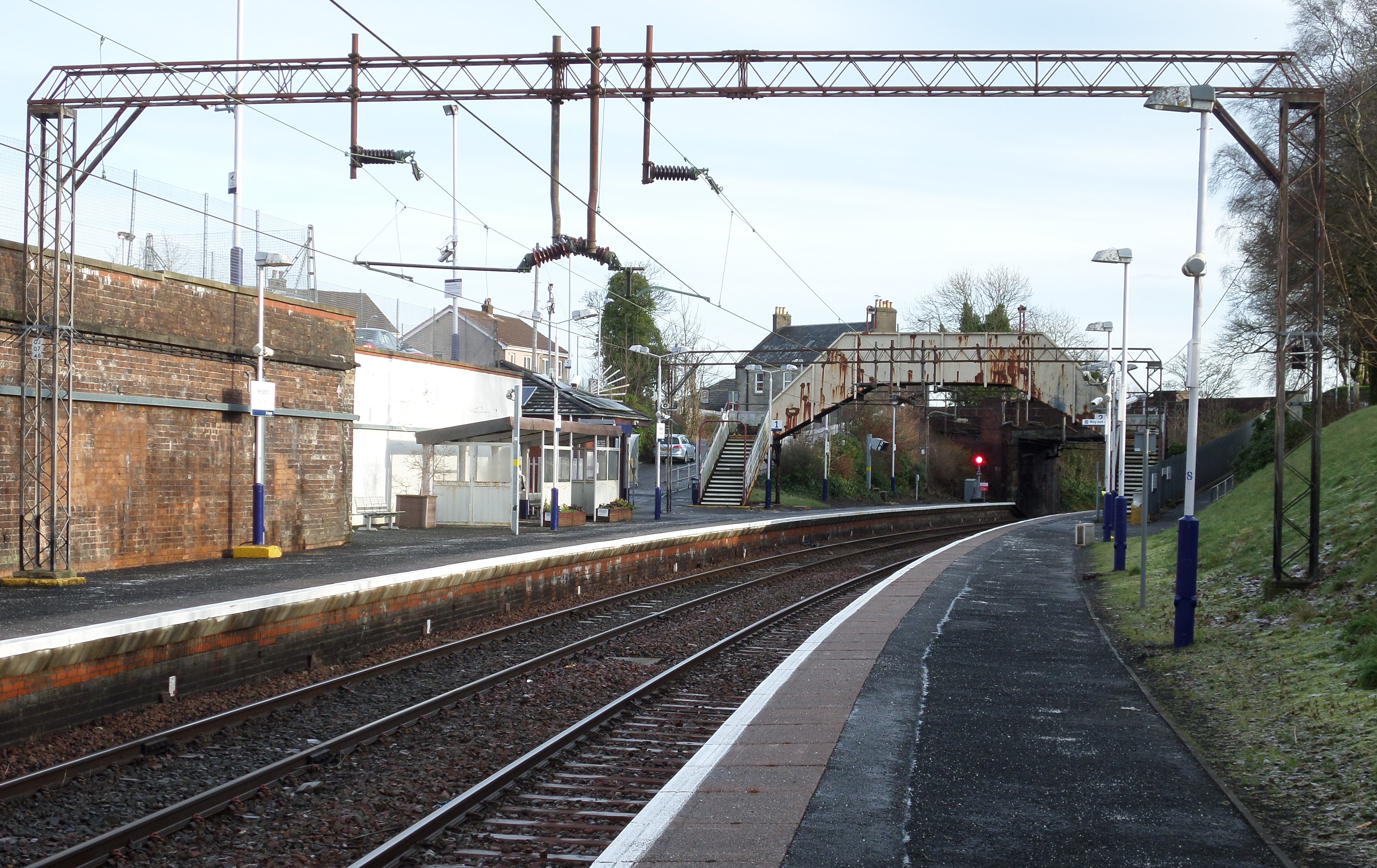
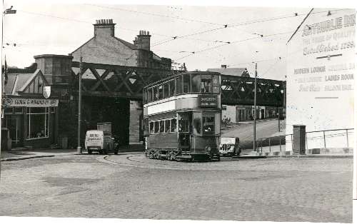
Gateside Images

Images are sourced within 2km of 55.792671/-4.414191 or Grid Reference NS4858. Thanks to Geograph Open Source API. All images are credited.

Dry-stone wall and fence The space between the wall and fence is more worn than the surrounding moorland because, as shown on the map, the route between them is part of a footpath. For a good summary of that path, see <a href="https://www.geograph.org.uk/photo/369064">NS4859 : Paisley - Brownside Braes - Harelaw  Reservoir</a>.

The same fence and wall are shown in <a href="https://www.geograph.org.uk/photo/2308667">NS4860 : Dry-stone wall and fence</a>, which was taken at a point about 270 metres further along the same path.
Dry-stone wall and fence
The space between the wall and fence is more worn than the surrounding moorland because, as shown on the map, the route between them is part of a footpath. For a good summary of that path, see NS4859 : Paisley - Brownside Braes - Harelaw Reservoir. The same fence and wall are shown in NS4860 : Dry-stone wall and fence, which was taken at a point about 270 metres further along the same path.
Signpost at footpath junction The signpost is located at a three-way junction of paths.

The sign pointing to the left says "Paisley", and points along the route shown in <a href="https://www.geograph.org.uk/photo/2308698">NS4859 : Dry-stone wall and fence</a> and <a href="https://www.geograph.org.uk/photo/2308667">NS4860 : Dry-stone wall and fence</a>.

Another, pointing towards the photographer's position, reads "Killoch Glen via Glenburn Resr"; for that route, see <a href="https://www.geograph.org.uk/photo/2309088">NS4859 : Path to Glenburn Reservoir</a>.

The third, pointing in the opposite direction, reads "Barrhead / Killoch Glen via Harelaw Resr"; for a view back along that route, see <a href="https://www.geograph.org.uk/photo/2309100">NS4859 : Path from Killoch Glen</a>.
Signpost at footpath junction
The signpost is located at a three-way junction of paths. The sign pointing to the left says "Paisley", and points along the route shown in NS4859 : Dry-stone wall and fence and NS4860 : Dry-stone wall and fence. Another, pointing towards the photographer's position, reads "Killoch Glen via Glenburn Resr"; for that route, see NS4859 : Path to Glenburn Reservoir. The third, pointing in the opposite direction, reads "Barrhead / Killoch Glen via Harelaw Resr"; for a view back along that route, see NS4859 : Path from Killoch Glen.
Path to Glenburn Reservoir This photograph, which was taken from beside the signpost that is shown in <a href="https://www.geograph.org.uk/photo/2309070">NS4859 : Signpost at footpath junction</a>, shows one of the three paths that is indicated there. <a href="https://www.geograph.org.uk/photo/2308500">NS4760 : Glenburn Reservoir</a> is visible about 240 metres ahead.

For a view from a point a little further along the path, see <a href="https://www.geograph.org.uk/photo/2310062">NS4759 : Path to Glenburn Reservoir</a>.
Path to Glenburn Reservoir
This photograph, which was taken from beside the signpost that is shown in NS4859 : Signpost at footpath junction, shows one of the three paths that is indicated there. NS4760 : Glenburn Reservoir is visible about 240 metres ahead. For a view from a point a little further along the path, see NS4759 : Path to Glenburn Reservoir.
Path from Killoch Glen For the previous part of the route, see <a href="https://www.geograph.org.uk/photo/2310031">NS4859 : Path from Killoch Glen</a>. That path makes a sharp turn near <a href="https://www.geograph.org.uk/photo/2309150">NS4859 : Harelaw Reservoir</a>. The present photograph shows the part of the route beyond that corner; it leads towards the signpost that is shown in <a href="https://www.geograph.org.uk/photo/2309070">NS4859 : Signpost at footpath junction</a>.

The top of that signpost is just visible in this photograph; it can be seen straight ahead on the path, with <a href="https://www.geograph.org.uk/photo/2308500">NS4760 : Glenburn Reservoir</a> visible behind it.
Path from Killoch Glen
For the previous part of the route, see NS4859 : Path from Killoch Glen. That path makes a sharp turn near NS4859 : Harelaw Reservoir. The present photograph shows the part of the route beyond that corner; it leads towards the signpost that is shown in NS4859 : Signpost at footpath junction. The top of that signpost is just visible in this photograph; it can be seen straight ahead on the path, with NS4760 : Glenburn Reservoir visible behind it.
Harelaw Reservoir Unlike nearby <a href="https://www.geograph.org.uk/photo/2308500">NS4760 : Glenburn Reservoir</a>, Harelaw Reservoir appears on the first-edition OS map, which was surveyed in 1858.

The water level has been lowered considerably in recent years. Relative to the OS map that was current when this picture was taken, the photographer's position would be in the water of the reservoir, although not very far from the edge. The changes being made here are part of a Local Biodiversity Action Plan; this body of water will be de-classified as a reservoir.

For other pictures, see <a href="https://www.geograph.org.uk/photo/369064">NS4859 : Paisley - Brownside Braes - Harelaw  Reservoir</a>, <a href="https://www.geograph.org.uk/photo/441217">NS4859 : Harelaw Reservoir</a>, and <a href="https://www.geograph.org.uk/photo/441118">NS4859 : Grazing on Fereneze Hills and Harelaw Reservoir</a>.
Harelaw Reservoir
Unlike nearby NS4760 : Glenburn Reservoir, Harelaw Reservoir appears on the first-edition OS map, which was surveyed in 1858. The water level has been lowered considerably in recent years. Relative to the OS map that was current when this picture was taken, the photographer's position would be in the water of the reservoir, although not very far from the edge. The changes being made here are part of a Local Biodiversity Action Plan; this body of water will be de-classified as a reservoir. For other pictures, see NS4859 : Paisley - Brownside Braes - Harelaw Reservoir, NS4859 : Harelaw Reservoir, and NS4859 : Grazing on Fereneze Hills and Harelaw Reservoir.
Fereneze Golf Course This is part of the course of Fereneze Golf Club. The picture was taken from near what used to be the edge of <a href="https://www.geograph.org.uk/photo/2309150">NS4859 : Harelaw Reservoir</a>.

See also <a href="https://www.geograph.org.uk/photo/369064">NS4859 : Paisley - Brownside Braes - Harelaw  Reservoir</a>.
Fereneze Golf Course
This is part of the course of Fereneze Golf Club. The picture was taken from near what used to be the edge of NS4859 : Harelaw Reservoir. See also NS4859 : Paisley - Brownside Braes - Harelaw Reservoir.
Path from Killoch Glen For the previous part of the route, see <a href="https://www.geograph.org.uk/photo/2310037">NS4859 : Path from Killoch Glen</a>.

The present photograph was taken from about 100 metres further along the path. About 50 metres ahead, the route turns sharply to the left; the section beyond that corner is shown in <a href="https://www.geograph.org.uk/photo/2309100">NS4859 : Path from Killoch Glen</a>.
Path from Killoch Glen
For the previous part of the route, see NS4859 : Path from Killoch Glen. The present photograph was taken from about 100 metres further along the path. About 50 metres ahead, the route turns sharply to the left; the section beyond that corner is shown in NS4859 : Path from Killoch Glen.
Path from Killoch Glen The footpath continues straight ahead; the gate on the left leads into a field instead.

For a view from a point further along this path, see <a href="https://www.geograph.org.uk/photo/2310031">NS4859 : Path from Killoch Glen</a>. Visible in the background, on the right, is part of a <a href="https://www.geograph.org.uk/photo/2310006">NS4859 : Fereneze Golf Course</a>.
Path from Killoch Glen
The footpath continues straight ahead; the gate on the left leads into a field instead. For a view from a point further along this path, see NS4859 : Path from Killoch Glen. Visible in the background, on the right, is part of a NS4859 : Fereneze Golf Course.
View along old field boundary This boundary is in the form of a dry-stone dyke, which is now in poor condition. It is marked on the first-edition OS map, which was surveyed in 1858, and it may be considerably older than that.

See <a href="https://www.geograph.org.uk/photo/2310062">NS4759 : Path to Glenburn Reservoir</a>, where the line of the boundary can be seen not far ahead, approaching the more recent wall from the left. The present photograph was taken from the point where the two meet.

Even in this photograph, it is clear that at the top of the hill, among the trees, there are some ruins; one section lies directly beyond the far end of the field boundary, and a smaller section to the left. These are the remains of the farmstead of Duchallaw, which is shown on the first-edition OS map.
View along old field boundary
This boundary is in the form of a dry-stone dyke, which is now in poor condition. It is marked on the first-edition OS map, which was surveyed in 1858, and it may be considerably older than that. See NS4759 : Path to Glenburn Reservoir, where the line of the boundary can be seen not far ahead, approaching the more recent wall from the left. The present photograph was taken from the point where the two meet. Even in this photograph, it is clear that at the top of the hill, among the trees, there are some ruins; one section lies directly beyond the far end of the field boundary, and a smaller section to the left. These are the remains of the farmstead of Duchallaw, which is shown on the first-edition OS map.
Small Burn near Neilston Near the junction of Springhill Rd. and Kirkton Rd.
Small Burn near Neilston
Near the junction of Springhill Rd. and Kirkton Rd.
Kirkton Bridge, Neilston Kirkton on the hill.
Kirkton Bridge, Neilston
Kirkton on the hill.
Neilston railway station, looking WSW View from platform 1 at Neilston railway station, looking roughly WSW.
Neilston railway station, looking WSW
View from platform 1 at Neilston railway station, looking roughly WSW.
Neilston railway station, looking ENE View from platform 1 at Neilston railway station, looking roughly ENE towards Glasgow Central.
Neilston railway station, looking ENE
View from platform 1 at Neilston railway station, looking roughly ENE towards Glasgow Central.
Neilston Parish Church Halls On Kingston Road, Neilston.
Neilston Parish Church Halls
On Kingston Road, Neilston.
Track to Capellie Farm Track is in the process of being scraped level by a very large machine. This track leads to a large tip and is constantly churned up by heavy traffic.
Track to Capellie Farm
Track is in the process of being scraped level by a very large machine. This track leads to a large tip and is constantly churned up by heavy traffic.
Track to Capellie Farm Due to constant heavy traffic using the nearby tip this track needs regular scraping.
Track to Capellie Farm
Due to constant heavy traffic using the nearby tip this track needs regular scraping.
Track to Capellie Farm and cottages Capellie Lodge (left) and Capellie Cottage (right). The track branches to the right leading to a tip.
Track to Capellie Farm and cottages
Capellie Lodge (left) and Capellie Cottage (right). The track branches to the right leading to a tip.
B771, Paisley Road Dunterlie area of Barrhead.
B771, Paisley Road
Dunterlie area of Barrhead.
Show me another place!

Gateside is located at Grid Ref: NS4858 (Lat: 55.792671, Lng: -4.414191)

Unitary Authority: East Renfrewshire

Police Authority: Greater Glasgow

What 3 Words

///universally.safe.beams. Near Neilston, East Renfrewshire

Nearby Locations

Gateside

Related Wikis

Nearby Amenities

Located within 500m of 55.792671,-4.414191
Bus Stop
Naptan AtcoCode: 612081
Naptan NaptanCode: 37323787
Nat Ref: 612082
Lat/Long: 55.7912114/-4.4116793
Bus Stop
Lat/Long: 55.7901909/-4.4137717
Gateside
Place: suburb
Lat/Long: 55.7948083/-4.4141079
Crossing
Lat/Long: 55.7915414/-4.410756
Crossing
Lat/Long: 55.7897767/-4.4152021
Power: pole
Lat/Long: 55.7937024/-4.4218765
Power: pole
Lat/Long: 55.7941404/-4.4209599
Power: pole
Lat/Long: 55.7947095/-4.4196267
Power: pole
Lat/Long: 55.7952798/-4.4183435
Power: pole
Lat/Long: 55.7957822/-4.4172477
Power: pole
Lat/Long: 55.7959778/-4.4159644
Power: pole
Lat/Long: 55.7961616/-4.4147749
Power: pole
Lat/Long: 55.796472/-4.4127251
Power: pole
Lat/Long: 55.7951533/-4.4179289
Power: pole
Lat/Long: 55.7950034/-4.4174352
Power: pole
Lat/Long: 55.7946486/-4.4163373
The data included in this document is from www.openstreetmap.org. The data is made available under ODbL.

Have you been to Gateside?

Leave your review of Gateside below (or comments, questions and feedback).