Loch a' Bhruga

Lake, Pool, Pond, Freshwater Marsh in Inverness-shire

Scotland

Loch a' Bhruga

Beach at Cille Bhrìghde
Beach at Cille Bhrìghde Credit: Sandy Gerrard

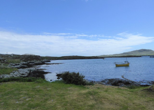
Loch a' Bhruga is a picturesque freshwater loch located in Inverness-shire, Scotland. Situated amidst the scenic beauty of the Scottish Highlands, this body of water offers a tranquil and serene environment for visitors to enjoy.

Covering an area of approximately 10 hectares, Loch a' Bhruga is relatively small in size compared to some of the larger lochs in the region. However, its compactness adds to its charm and makes it easily accessible for those looking to explore its natural wonders.

The loch is surrounded by lush greenery, with rolling hills and dense forests providing a stunning backdrop. The water itself is crystal clear and teeming with diverse aquatic life, making it a popular spot for fishing enthusiasts. Trout and salmon are particularly abundant in these waters, attracting anglers from far and wide.

Loch a' Bhruga also serves as a haven for birdwatchers, as it is home to a variety of bird species. From elegant swans gliding across the water to vibrant ducks and geese, the loch offers a plethora of birdlife to observe and admire.

Visitors to Loch a' Bhruga can enjoy leisurely walks along its shores, taking in the breathtaking scenery and immersing themselves in nature. The surrounding area also offers opportunities for hiking and biking, with numerous trails that lead to stunning viewpoints and hidden gems.

In summary, Loch a' Bhruga is a small but captivating freshwater loch in Inverness-shire, Scotland. With its tranquil atmosphere, diverse wildlife, and stunning natural surroundings, it is a must-visit destination for those seeking a peaceful retreat in the heart of the Scottish Highlands.

If you have any feedback on the listing, please let us know in the comments section below.

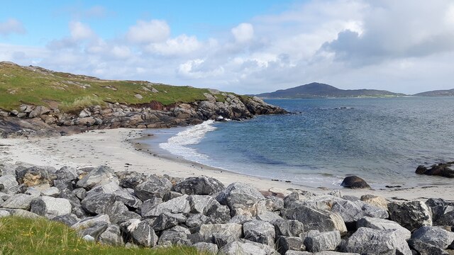
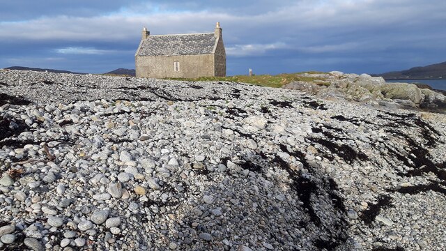
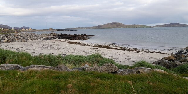
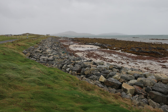
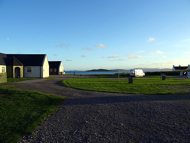
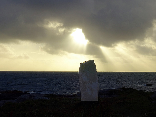
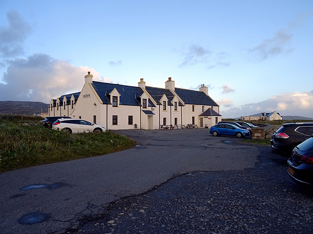
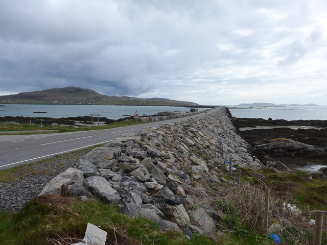
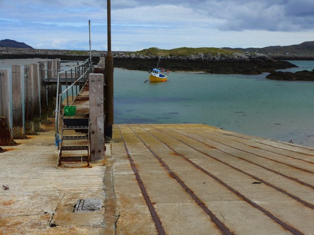
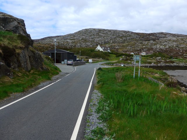
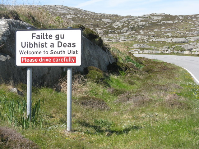
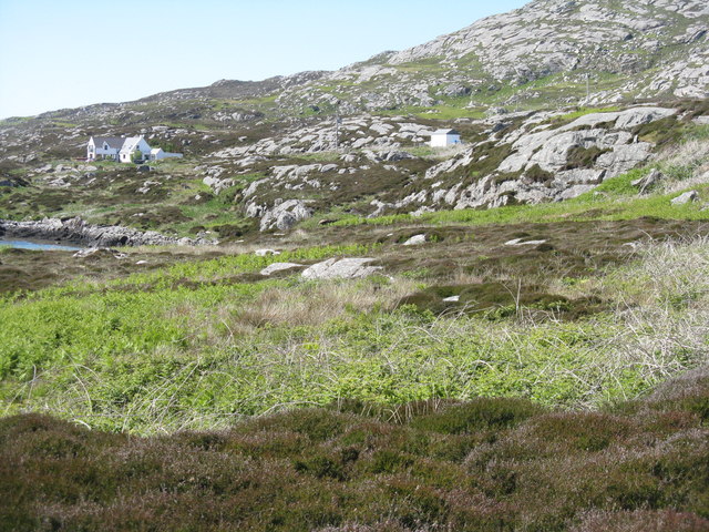
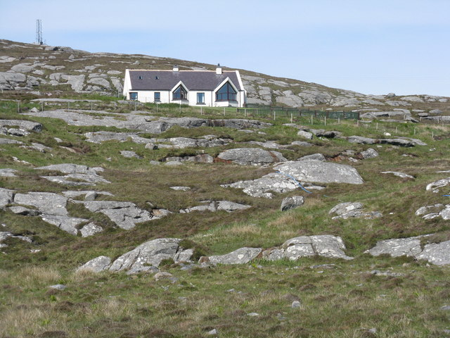
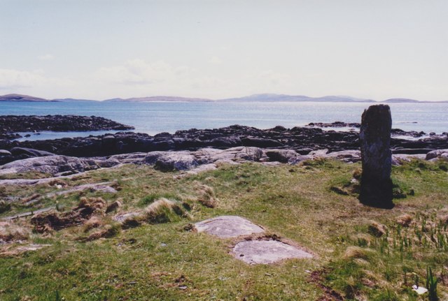
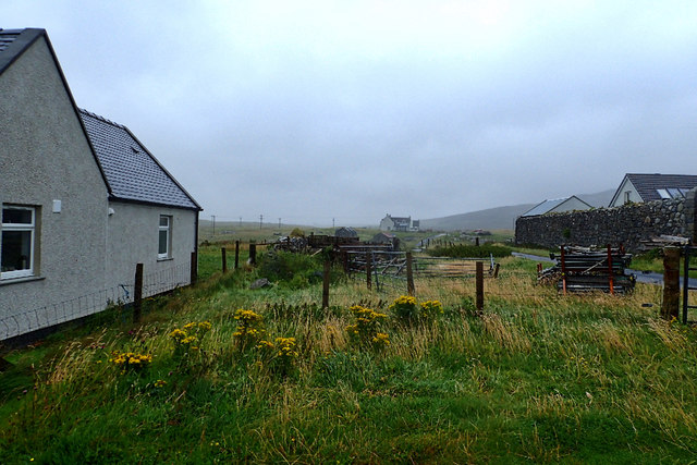
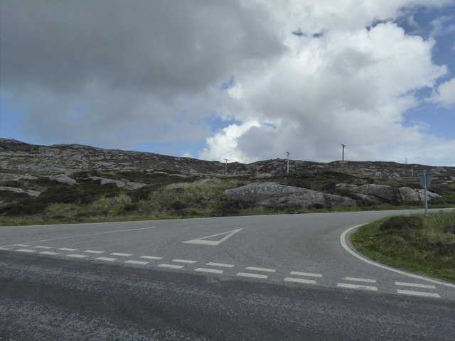
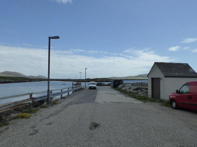
Loch a' Bhruga Images

Images are sourced within 2km of 57.104502/-7.349506 or Grid Reference NF7614. Thanks to Geograph Open Source API. All images are credited.

Beach at Cille Bhrìghde
Cottage on the Shoreline
Beach at Cul-Phort
Beach at Cul-Phort
Beach at Cille Bhrìghde At the south end of South Uist.
Beach at Cille Bhrìghde
At the south end of South Uist.
The campsite at West Kilbride A pleasant evening which gave way to a couple of days of high wind and rain.
The campsite at West Kilbride
A pleasant evening which gave way to a couple of days of high wind and rain.
Standing stone at Pol a' Charra By the Pollachar Inn.
Standing stone at Pol a' Charra
By the Pollachar Inn.
The Pollachar Inn
The Pollachar Inn
The Eriskay Causeway
The old ferry slip at Eriskay This was where the ferry to South Uist left from in the days before the causeway link.  The causeway was completed in 2001.
The old ferry slip at Eriskay
This was where the ferry to South Uist left from in the days before the causeway link. The causeway was completed in 2001.
The road to the Barra ferry This branches off from just near the old slipway for the ferry to South Uist (now replaced by a causeway).
The road to the Barra ferry
This branches off from just near the old slipway for the ferry to South Uist (now replaced by a causeway).
Entering South Uist Welcome to South Uist; leaving the causeway from Eriskay and heading north for South Uist.
Entering South Uist
Welcome to South Uist; leaving the causeway from Eriskay and heading north for South Uist.
Rocky grassland, South Uist Looking north just after leaving the causeway from Eriskay.
Rocky grassland, South Uist
Looking north just after leaving the causeway from Eriskay.
House on South Uist A modern house, nicely placed for a view to the causeway to Eriskay.
House on South Uist
A modern house, nicely placed for a view to the causeway to Eriskay.
Standing stone, Pollachar Looking towards Barra.
Standing stone, Pollachar
Looking towards Barra.
Cille Bhrìghde
Cille Bhrìghde
Junction for South Glendale
Yellow boat, Bagh Shaltabhaig
Pier at Ludag
Pier at Ludag
Show me another place!

Loch a' Bhruga is located at Grid Ref: NF7614 (Lat: 57.104502, Lng: -7.349506)

Unitary Authority: Na h-Eileanan an Iar

Police Authority: Highlands and Islands

What 3 Words

///townhouse.growth.feed. Near Lochboisdale, Na h-Eileanan Siar

Related Wikis

Easaval

Easaval (Scottish Gaelic: Easabhal) is one of the smallest hills on the island of South Uist in the Outer Hebrides of Scotland, with a height of 243 metres...

Lingay, Fiaray

Lingay is an uninhabited island in Scotland, one of ten islands in the Sound of Barra, a Site of Community Importance for conservation in the Western Isles...

St Michael's Church, Eriskay

St Michael's Church (also known as St Michael's of the Sea) is a Category C listed building in Eriskay, South Uist, Scotland. Of Roman Catholic denomination...

Beinn Sciathan

Ben Scrien, is the highest point on the Outer Hebridean island of Eriskay. Described as an apparently "uninspiring lump" (Michael Fitzpatrick, 2012) it...

Nearby Amenities

Located within 500m of 57.104502,-7.349506
Passing Place
Lat/Long: 57.1036493/-7.346295
Passing Place
Lat/Long: 57.105335/-7.3554293
Barrier: cattle_grid
Lat/Long: 57.1033809/-7.3559587
Passing Place
Lat/Long: 57.1035224/-7.3481627
Access: customers
Entrance: yes
Lat/Long: 57.1034321/-7.3562836
Power: pole
Lat/Long: 57.1065021/-7.3563954
Power: pole
Lat/Long: 57.1063324/-7.3554848
Power: pole
Lat/Long: 57.1061852/-7.3545568
Power: pole
Lat/Long: 57.1061175/-7.3535657
Power: pole
Lat/Long: 57.1060447/-7.3526108
Power: pole
Lat/Long: 57.1058211/-7.3558456
Power: pole
Lat/Long: 57.105749/-7.3546037
Power: pole
Lat/Long: 57.1056834/-7.3537025
Power: pole
Lat/Long: 57.1047191/-7.341713
Power: pole
Lat/Long: 57.1048538/-7.3428784
Power: pole
Lat/Long: 57.104993/-7.3440921
Power: pole
Lat/Long: 57.105127/-7.3453984
Power: pole
Lat/Long: 57.1052901/-7.3466939
Power: pole
Lat/Long: 57.1053382/-7.3476031
Power: pole
Lat/Long: 57.1054066/-7.348727
Power: pole
Lat/Long: 57.1054678/-7.349757
Power: pole
Lat/Long: 57.1055188/-7.3508111
Power: pole
Lat/Long: 57.1055603/-7.3515795
Power: pole
Lat/Long: 57.1056506/-7.3528871
Power: pole
Lat/Long: 57.1050031/-7.3418136
Power: pole
Lat/Long: 57.1050818/-7.3429482
Power: pole
Lat/Long: 57.1051699/-7.3445468
Power: pole
Lat/Long: 57.1053855/-7.3454024
Power: pole
Lat/Long: 57.1056208/-7.3464525
Power: pole
Lat/Long: 57.1057067/-7.3478016
Power: pole
Lat/Long: 57.1057912/-7.3489308
Power: pole
Lat/Long: 57.1058487/-7.349828
Power: pole
Lat/Long: 57.1059296/-7.3508741
Power: pole
Lat/Long: 57.1059711/-7.3516546
Power: pole
Lat/Long: 57.1059075/-7.3570392
Passing Place
Lat/Long: 57.1039302/-7.355898
Leisure: outdoor_seating
Operator: Kilbride Café
Seasonal: yes
Lat/Long: 57.1031611/-7.3563103
Access: customers
Entrance: yes
Lat/Long: 57.1032965/-7.355672
Passing Place
Lat/Long: 57.1032469/-7.3507539
Power: pole
Lat/Long: 57.1038232/-7.346232
Power: pole
Lat/Long: 57.1037387/-7.3471279
Power: pole
Lat/Long: 57.1036498/-7.3480881
Power: pole
Lat/Long: 57.1037635/-7.3453764
Power: pole
Lat/Long: 57.1037052/-7.3445717
Power: pole
Lat/Long: 57.1036003/-7.3436839
Power: pole
Lat/Long: 57.1041175/-7.3438287
Power: pole
Lat/Long: 57.104553/-7.3439494
Power: pole
Lat/Long: 57.1042778/-7.3462676
Power: pole
Lat/Long: 57.104092/-7.3576093
Power: pole
Lat/Long: 57.1048317/-7.3573813
Power: pole
Lat/Long: 57.1053971/-7.3572081
Passing Place
Lat/Long: 57.1033707/-7.3441488
The data included in this document is from www.openstreetmap.org. The data is made available under ODbL.

Have you been to Loch a' Bhruga?

Leave your review of Loch a' Bhruga below (or comments, questions and feedback).