Loch an t-Sil

Lake, Pool, Pond, Freshwater Marsh in Inverness-shire

Scotland

Loch an t-Sil

Seaweed at A' Mheallàch
Seaweed at A' Mheallàch Credit: Sandy Gerrard

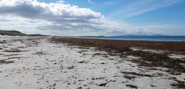
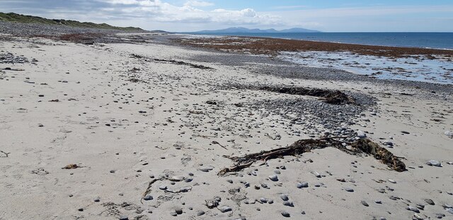
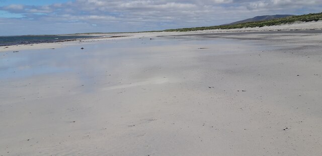
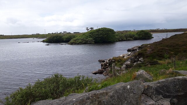
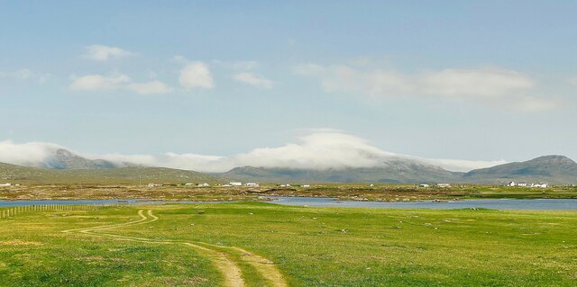
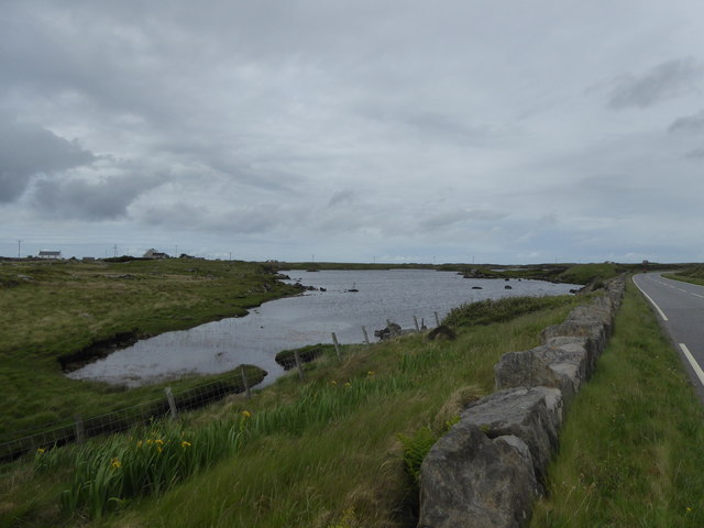
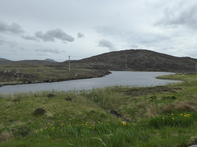
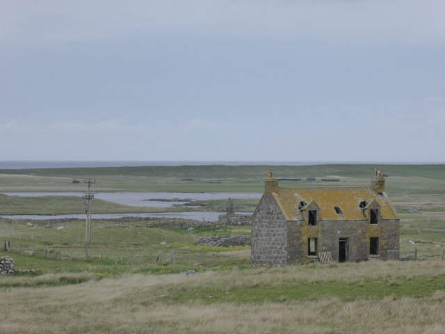
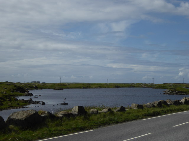
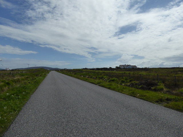
Loch an t-Sil is a small freshwater loch located in the Inverness-shire region of Scotland. The loch is situated near the village of Drumnadrochit and is surrounded by rolling hills and lush greenery.

The loch is relatively small in size, measuring approximately 1.5 kilometers in length and 0.5 kilometers in width. It is a popular spot for fishing, with anglers frequenting its shores in search of brown trout and perch.

The surrounding area of Loch an t-Sil is home to a variety of wildlife, including birds such as herons, ducks, and swans. The loch is also a haven for plant life, with reeds, rushes, and water lilies dotting its shores.

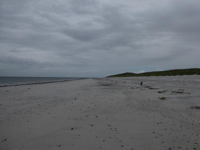
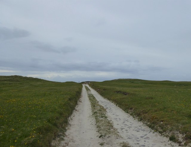
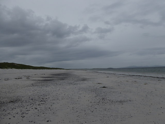
Visitors to Loch an t-Sil can enjoy peaceful walks along its banks or take a boat out onto the calm waters. The tranquil atmosphere of the loch makes it a perfect spot for picnicking or simply enjoying the natural beauty of the Scottish Highlands.

Overall, Loch an t-Sil is a picturesque and serene destination for nature lovers and outdoor enthusiasts looking to explore the stunning landscapes of Inverness-shire.

If you have any feedback on the listing, please let us know in the comments section below.

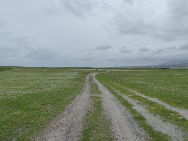
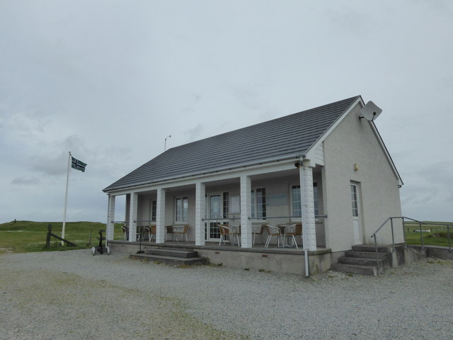
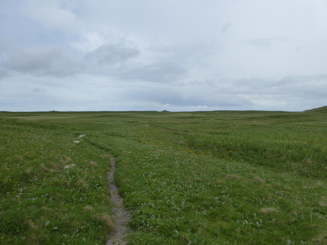
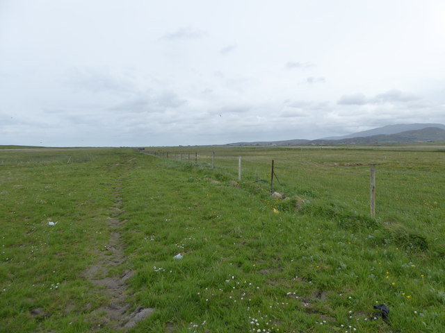
Loch an t-Sil Images

Images are sourced within 2km of 57.186146/-7.4041282 or Grid Reference NF7323. Thanks to Geograph Open Source API. All images are credited.

Seaweed at A' Mheallàch
Aisgernis Beach with Barra in the Background
Beach at Aisgernis
Beach at Aisgernis
Island in Loch an Eilein
Track to Loch Hallan This track leads across the machair to the mooring for the estate boat on Loch Hallan. Beware of rusty, tyre-puncturing fence wire hidden in the grass. Hallan is a very shallow loch. If your boat grounds on the sand, don't worry, just step over the side into six inches of water and tow the boat back to its mooring. Don't try this if you get stuck on the rocks on the far shore!
Track to Loch Hallan
This track leads across the machair to the mooring for the estate boat on Loch Hallan. Beware of rusty, tyre-puncturing fence wire hidden in the grass. Hallan is a very shallow loch. If your boat grounds on the sand, don't worry, just step over the side into six inches of water and tow the boat back to its mooring. Don't try this if you get stuck on the rocks on the far shore!
Track over the machair near Loch Hallan
Beach near Cladh Hàlainn
Track in the machair, Hallan
Beach near Cladh Hàlainn
Track in the machair, Askernish
Club House, Askernish Golf Course
Path on the machair, Askernish
Fence on the edge of the machair, Askernish
Loch an Eilein, Aisgernis
Loch a' Chafain
Loch a' Chafain
Ruined house at Frobost
Loch an Eilein, Aisgernis
A865 near Geàrraidh Sheilidh
Show me another place!

Loch an t-Sil is located at Grid Ref: NF7323 (Lat: 57.186146, Lng: -7.4041282)

Unitary Authority: Na h-Eileanan an Iar

Police Authority: Highlands and Islands

What 3 Words

///engraving.stage.clashing. Near Lochboisdale, Na h-Eileanan Siar

Related Wikis

Askernish

Askernish (Scottish Gaelic: Àisgearnais, Aisgernis) is a crofting community on South Uist, in the Outer Hebrides, Scotland. Askernish is in the parish...

Cladh Hallan

Cladh Hallan (Scottish Gaelic: Cladh Hàlainn, Scottish Gaelic pronunciation: [kʰl̪ˠɤɣ ˈhaːl̪ˠɪɲ]) is an archaeological site on the island of South Uist...

Loch Hallan

Loch Hallan (Scottish Gaelic: Loch Thallan) is a loch (lake) in the Outer Hebrides, Scotland. It is located in the parish of South Uist, approximately...

Daliburgh

Daliburgh (Scottish Gaelic: Dalabrog) is a crofting township on South Uist, in the Outer Hebrides, Scotland. Daliburgh is situated 1+1⁄2 miles (2.5 kilometres...

Nearby Amenities

Located within 500m of 57.186146,-7.4041282
Passing Place
Lat/Long: 57.1873874/-7.4008699
Passing Place
Lat/Long: 57.1890762/-7.4058246
Bus Stop
Askernish
Bus: yes
Naptan AtcoCode: 6010731520
Naptan Bearing: S
Naptan BusStopType: CUS
Naptan CommonName: Askernish
Naptan Indicator: Village
Naptan Landmark: estate office entrance
Naptan NaptanCode: 94723424
Naptan Street: Village
Naptan Verified: no
Public Transport: platform
Source: naptan_import
Lat/Long: 57.1890842/-7.4053244
Aisgernis
Alt Name Gd: Àisgearnais
Name En: Askernish
Name Gd: Aisgernis
Place: village
Wikidata: Q4699127
Wikipedia: en:Askernish
Lat/Long: 57.1870881/-7.3974467
Barrier: cattle_grid
Lat/Long: 57.1877561/-7.4024859
Barrier: cattle_grid
Lat/Long: 57.1887222/-7.404184
Power: pole
Lat/Long: 57.1888573/-7.4042687
Power: pole
Lat/Long: 57.1884645/-7.4040688
Power: pole
Lat/Long: 57.1880765/-7.4039213
Power: pole
Lat/Long: 57.1876346/-7.4037014
Power: pole
Lat/Long: 57.1876797/-7.4031247
Power: pole
Lat/Long: 57.1872582/-7.4035324
Power: pole
Lat/Long: 57.1883686/-7.4021403
Power: pole
Lat/Long: 57.1886041/-7.4031247
Power: pole
Lat/Long: 57.1879166/-7.4002494
Power: pole
Lat/Long: 57.1881215/-7.4011828
Power: pole
Lat/Long: 57.187687/-7.399257
Power: pole
Lat/Long: 57.1874922/-7.3974357
Power: pole
Lat/Long: 57.1876201/-7.3986025
Power: pole
Lat/Long: 57.1873657/-7.3963414
Generator Method: photovoltaic
Generator Output Electricity: small_installation
Generator Source: solar
Generator Type: solar_photovoltaic_panel
Power: generator
Lat/Long: 57.1878338/-7.4017434
Generator Method: photovoltaic
Generator Output Electricity: small_installation
Generator Source: solar
Generator Type: solar_photovoltaic_panel
Power: generator
Lat/Long: 57.1881317/-7.4024139
Barrier: cattle_grid
Lat/Long: 57.187193/-7.3982781
Barrier: cattle_grid
Lat/Long: 57.1870767/-7.3990023
Barrier: cattle_grid
Lat/Long: 57.1881377/-7.4028781
Barrier: cattle_grid
Lat/Long: 57.1879211/-7.4023658
The data included in this document is from www.openstreetmap.org. The data is made available under ODbL.

Have you been to Loch an t-Sil?

Leave your review of Loch an t-Sil below (or comments, questions and feedback).