Loch nam Buadh
Lake, Pool, Pond, Freshwater Marsh in Inverness-shire
Scotland
Loch nam Buadh
The requested URL returned error: 429 Too Many Requests
If you have any feedback on the listing, please let us know in the comments section below.
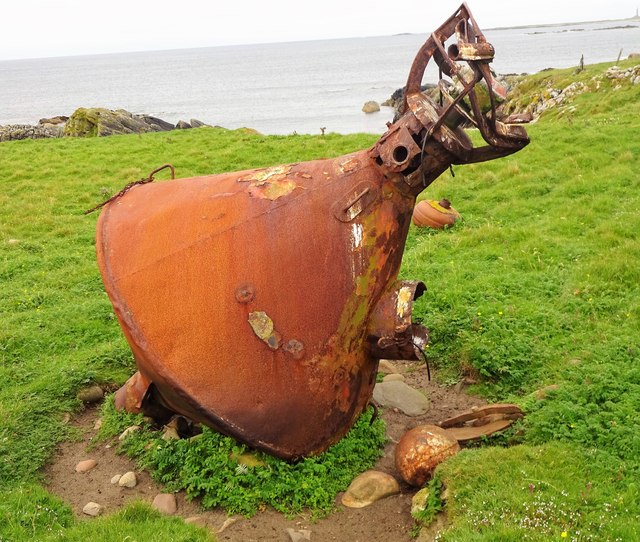
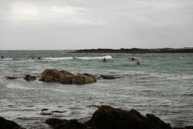
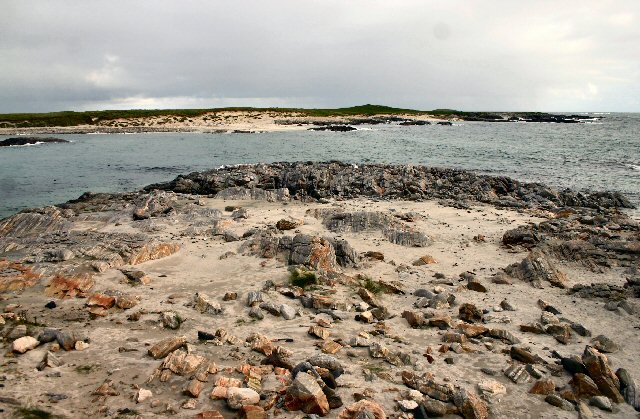
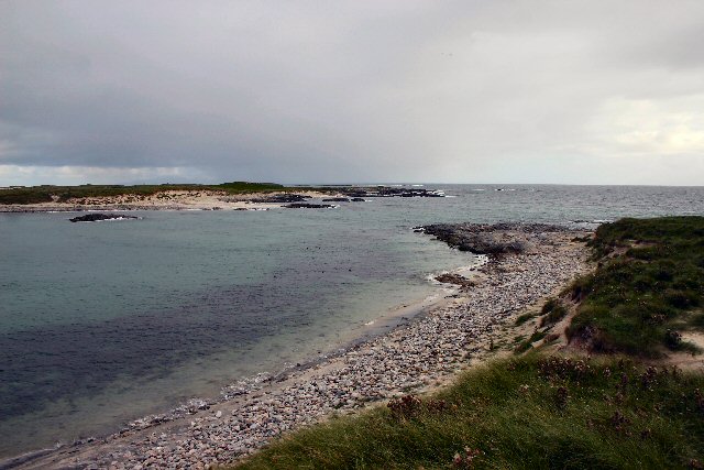
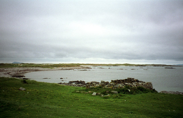
Loch nam Buadh Images
Images are sourced within 2km of 57.516086/-7.6194603 or Grid Reference NF6361. Thanks to Geograph Open Source API. All images are credited.


Loch nam Buadh is located at Grid Ref: NF6361 (Lat: 57.516086, Lng: -7.6194603)
Unitary Authority: Na h-Eileanan an Iar
Police Authority: Highlands and Islands
What 3 Words
///either.slime.extensive. Near Balivanich, Na h-Eileanan Siar
Nearby Locations
Related Wikis

Ceann Ear
Disambiguation: "Ceann Ear" is a common Scottish placename meaning Eastern HeadlandCeann Ear is the largest island in the Monach or Heisgeir group off...

Sibhinis
Sibhinis, Siobhanais or Shivinish. is one of the Monach Islands, lying between Ceann Iar and Ceann Ear. It is tidal, and connected at low tide to Ceann...
Ceann Iar
Disambiguation: "Ceann Iar" is a common Scottish placename meaning Western Headland Ceann Iar (Gaelic "Western Headland") is one of the Monach Isles/Heisgeir...

Monach Islands
The Monach Islands, also known as Heisker (Scottish Gaelic: Eilean Heisgeir / Heisgeir, pronounced [(elan)ˈheʃkʲəɾʲ] ), are an island group west of North...
Have you been to Loch nam Buadh?
Leave your review of Loch nam Buadh below (or comments, questions and feedback).