Islands of Fleet

Island Group in Kirkcudbrightshire

Scotland

Islands of Fleet

Inlet, Knockbrex Bay Rock outcrops, almost covered by turf, at the side of an inlet on Knockbrex Bay. Knockbrex House can be seen over the coastal fields.
Inlet, Knockbrex Bay Credit: Jonathan Wilkins

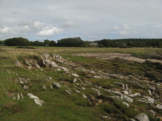
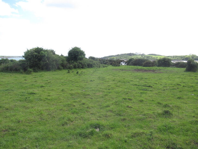
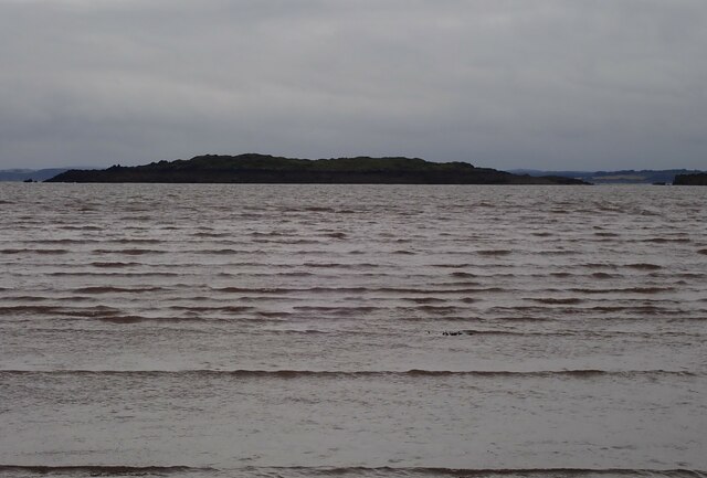
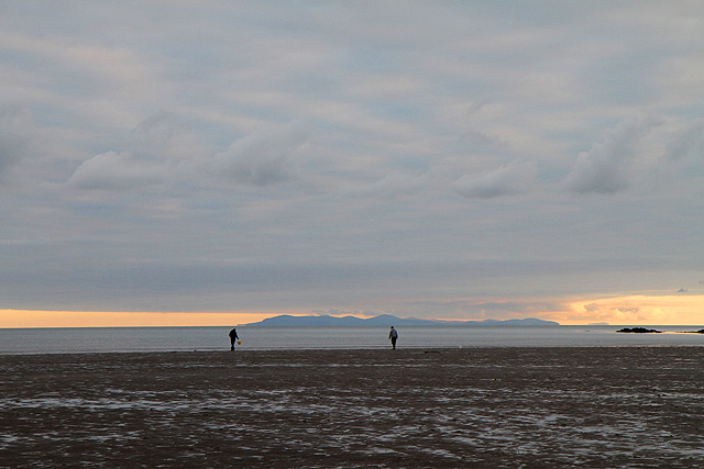
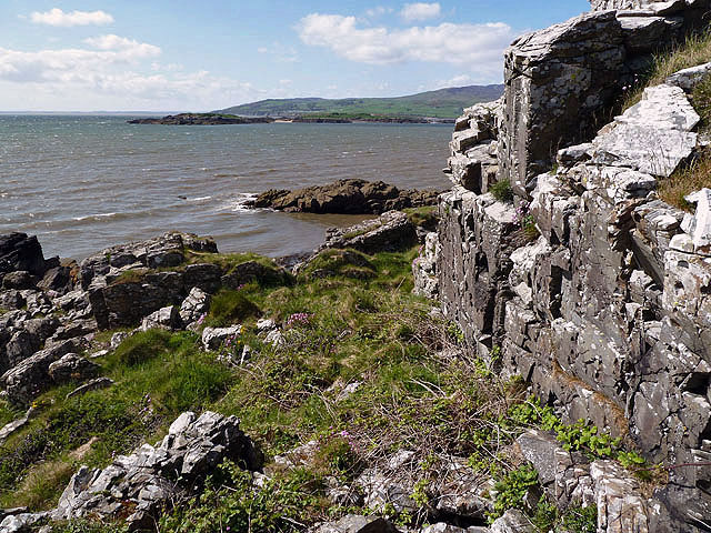
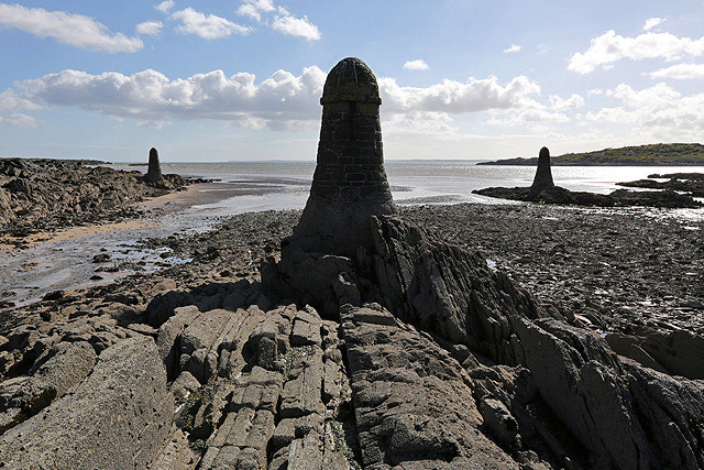
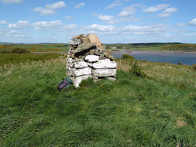
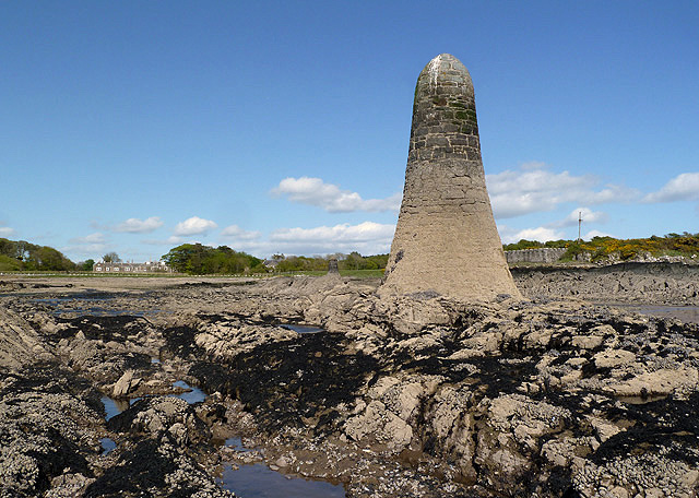
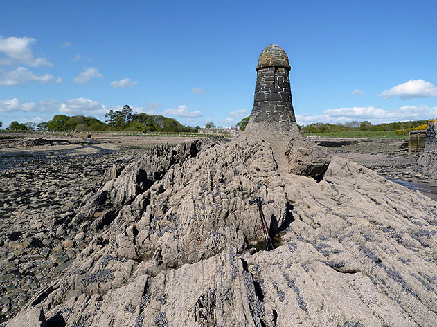
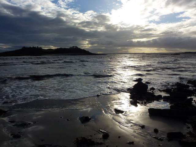
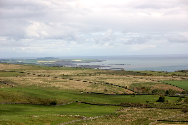
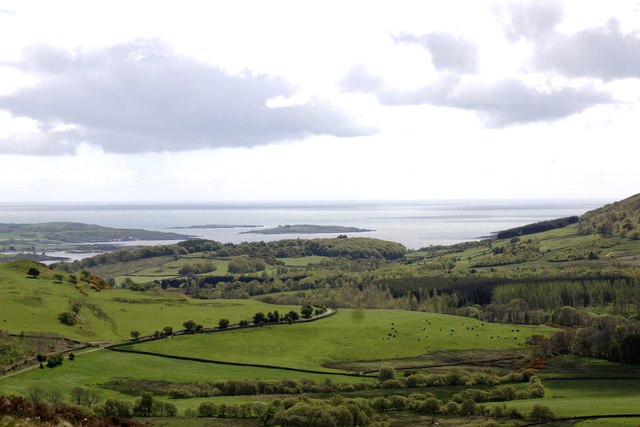
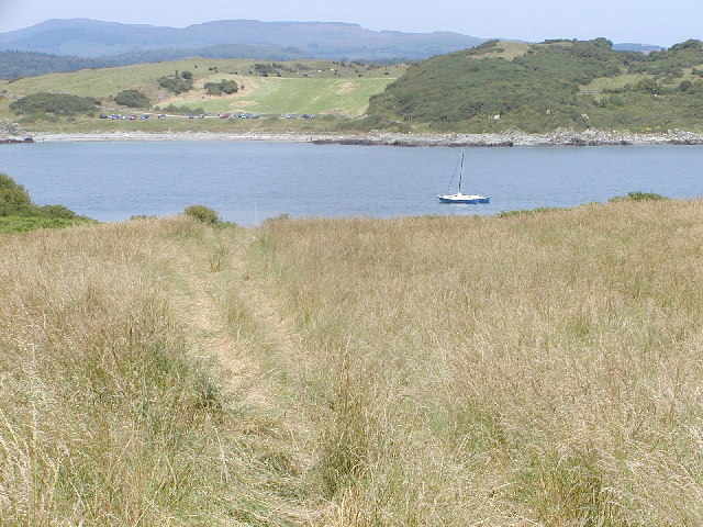
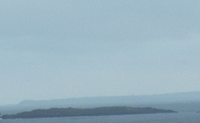
The Islands of Fleet, located in Kirkcudbrightshire, Scotland, are a group of small islands situated within the Fleet Bay. The bay itself is an inlet of the Irish Sea, forming part of the Solway Firth. The islands, which include Barlocco, Barlocco Calf, Rough Island, Little Isle, and Manxman's Lake, are characterized by their natural beauty and rich biodiversity.

Barlocco is the largest island in the group and is covered in lush vegetation, including woodland areas and grassy meadows. The island is home to a variety of bird species, including herons, oystercatchers, and red-breasted mergansers. Barlocco Calf, a smaller island adjacent to Barlocco, is a haven for seabirds like guillemots, razorbills, and puffins.

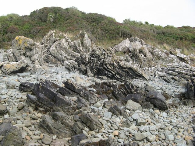
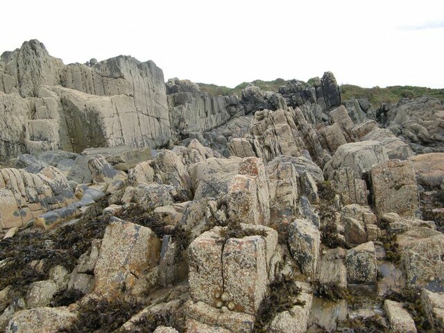
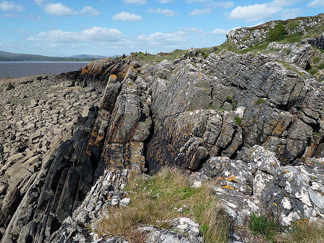
Rough Island, located towards the mouth of the Fleet Bay, is known for its rugged terrain and rocky shores. It is a designated nature reserve and is particularly important for its breeding colonies of Arctic terns and common terns.

Little Isle, as its name suggests, is the smallest island in the group. It is a rocky islet that is often submerged during high tide. Despite its size, it provides nesting sites for various seabirds and is an important resting spot for migratory birds.

Manxman's Lake, situated on the mainland, is a freshwater loch that is connected to the sea by a narrow channel. It is a popular spot for fishing and bird-watching enthusiasts, with a wide range of waterfowl and wading birds frequenting the area.

Overall, the Islands of Fleet offer a diverse and captivating natural environment, attracting visitors who appreciate the beauty and tranquility of this unique island group.

If you have any feedback on the listing, please let us know in the comments section below.

Islands of Fleet Images

Images are sourced within 2km of 54.818465/-4.2269292 or Grid Reference NX5749. Thanks to Geograph Open Source API. All images are credited.

Inlet, Knockbrex Bay Rock outcrops, almost covered by turf, at the side of an inlet on Knockbrex Bay. Knockbrex House can be seen over the coastal fields.
Inlet, Knockbrex Bay
Rock outcrops, almost covered by turf, at the side of an inlet on Knockbrex Bay. Knockbrex House can be seen over the coastal fields.
Folded strata Rock outcrops on the shore are bedded greywackes belonging to the Kirkmaiden Formation, of Silurian (Llandovery) age. Their hardness and resistance to erosion is due to their state of metamorphism through deep burial during continental collision. The folding demonstrated here was caused by differential movement along faults separating adjacent slices of sediments as they were scraped off a descending oceanic plate (an "accretionary prism").
Folded strata
Rock outcrops on the shore are bedded greywackes belonging to the Kirkmaiden Formation, of Silurian (Llandovery) age. Their hardness and resistance to erosion is due to their state of metamorphism through deep burial during continental collision. The folding demonstrated here was caused by differential movement along faults separating adjacent slices of sediments as they were scraped off a descending oceanic plate (an "accretionary prism").
Upright strata Large areas of the foreshore here comprise vertically disposed beds of Silurian greywacke which show only gentle folding. See also <a href="https://www.geograph.org.uk/photo/6968175">NX5749 : Folded strata</a> for an interpretation of the disposition and nature of the rocks here.
Upright strata
Large areas of the foreshore here comprise vertically disposed beds of Silurian greywacke which show only gentle folding. See also NX5749 : Folded strata for an interpretation of the disposition and nature of the rocks here.
Coastal pasture, Knockbrex
Murray's Isle South Taken far out from Carrick Bay, at the turn of a Spring Low Tide, late on a September evening 2023. The predicted tide height for low water was 1.8m. It was possible to walk further out to the isle although slightly deeper than my wellingtons would allow.
Murray's Isle South
Taken far out from Carrick Bay, at the turn of a Spring Low Tide, late on a September evening 2023. The predicted tide height for low water was 1.8m. It was possible to walk further out to the isle although slightly deeper than my wellingtons would allow.
Low tide near Ardwall Isle Two men on the east side of Ardwall Isle were taking advantage of an evening low tide to collect some whelks.
Low tide near Ardwall Isle
Two men on the east side of Ardwall Isle were taking advantage of an evening low tide to collect some whelks.
Unused gate Unused gate on the Knockbrex Estate.
Unused gate
Unused gate on the Knockbrex Estate.
Ardwall Isle This is at the southwest corner of the small tidal island in Wigtown Bay looking over to Murray’s Isles.
Ardwall Isle
This is at the southwest corner of the small tidal island in Wigtown Bay looking over to Murray’s Isles.
Navigation pillars at Knockbrex Bay Three pillars in the bay act as navigation markers for a small harbour at Knockbrex. This was viewed at low tide.
Navigation pillars at Knockbrex Bay
Three pillars in the bay act as navigation markers for a small harbour at Knockbrex. This was viewed at low tide.
A cairn on Ardwall Isle The cairn at 34m marks the high spot of this small tidal island in Wigtown Bay.
A cairn on Ardwall Isle
The cairn at 34m marks the high spot of this small tidal island in Wigtown Bay.
Ardwall Isle This is at the southwest edge of this small tidal island in Wigtown Bay at low tide.
Ardwall Isle
This is at the southwest edge of this small tidal island in Wigtown Bay at low tide.
A navigation pillar at Knockbrex Bay This is one of three pillars that act as navigation markers for a small harbour at Knockbrex. For a view of all three pillars, see <a href="https://www.geograph.org.uk/photo/3507589">NX5849 : Navigation pillars at Knockbrex Bay</a>.
A navigation pillar at Knockbrex Bay
This is one of three pillars that act as navigation markers for a small harbour at Knockbrex. For a view of all three pillars, see NX5849 : Navigation pillars at Knockbrex Bay.
A navigation pillar at Knockbrex Bay This is one of three pillars that act as navigation markers for a small harbour at Knockbrex. The harbour is just out of shot to the right. For a view of all three pillars, see <a href="https://www.geograph.org.uk/photo/3507589">NX5849 : Navigation pillars at Knockbrex Bay</a>.
A navigation pillar at Knockbrex Bay
This is one of three pillars that act as navigation markers for a small harbour at Knockbrex. The harbour is just out of shot to the right. For a view of all three pillars, see NX5849 : Navigation pillars at Knockbrex Bay.
Looking towards Ardwall Isle at dusk
Distant view of the Islands of Fleet From Cairnholy Hill
Distant view of the Islands of Fleet
From Cairnholy Hill
Islands of Fleet From the summit of Doon Hill.
Islands of Fleet
From the summit of Doon Hill.
Carrick, from Ardwall Carrick Bay from Ardwall Island. View is more or less due north.
Carrick, from Ardwall
Carrick Bay from Ardwall Island. View is more or less due north.
Murray's Isle South
Murray's Isle South
Show me another place!

Islands of Fleet is located at Grid Ref: NX5749 (Lat: 54.818465, Lng: -4.2269292)

Unitary Authority: Dumfries and Galloway

Police Authority: Dumfries and Galloway

What 3 Words

///mainframe.dwelled.credit. Near Kirkcudbright, Dumfries & Galloway

Related Wikis

Water of Fleet

The Water of Fleet is a river in Scotland flowing into Fleet Bay on the Solway Firth. Its two tributaries are the Big Water of Fleet, which begins around...

Islands of Fleet

The Islands of Fleet are a group of small islands in Galloway, Scotland. They are in Fleet Bay, which is part of Wigtown Bay, and is in turn part of the...

Corseyard Farm

Corseyard Farm, known locally as the Coo Palace and now marketed under that name, is an architecturally unusual dairy farm near Kirkandrews in Scotland...

Kirkandrews, Dumfries and Galloway

Kirkandrews, sometimes written as Kirkanders in older documents, is a coastal hamlet about 9 kilometres (6 mi) west-southwest of Kirkcudbright in Dumfries...

Nearby Amenities

Located within 500m of 54.818465,-4.2269292
Source: PGS
Lat/Long: 54.8156888/-4.2252476
Source: PGS
Lat/Long: 54.8155176/-4.2255851
Source: PGS
Lat/Long: 54.81574/-4.2256568
Source: PGS
Lat/Long: 54.8156788/-4.2260719
Source: PGS
Lat/Long: 54.8158561/-4.2268015
Source: PGS
Lat/Long: 54.8162134/-4.2272208
Source: PGS
Lat/Long: 54.8161296/-4.2274736
Source: PGS
Lat/Long: 54.8165608/-4.2279645
Source: PGS
Lat/Long: 54.8169509/-4.2282731
Source: PGS
Lat/Long: 54.8170147/-4.2287599
Source: PGS
Lat/Long: 54.818393/-4.2281806
Source: PGS
Lat/Long: 54.8190847/-4.2281788
Source: PGS
Lat/Long: 54.8193537/-4.2277159
Source: PGS
Lat/Long: 54.8198215/-4.2273576
Source: PGS
Lat/Long: 54.8200394/-4.2269694
Source: PGS
Lat/Long: 54.8204499/-4.2264727
Source: PGS
Lat/Long: 54.8208686/-4.225744
Source: PGS
Lat/Long: 54.8212781/-4.2252721
Source: PGS
Lat/Long: 54.8212144/-4.2247376
Source: PGS
Lat/Long: 54.8214342/-4.2242877
Source: PGS
Lat/Long: 54.821773/-4.2238089
Source: PGS
Lat/Long: 54.8221726/-4.2231966
Source: PGS
Lat/Long: 54.8217875/-4.2220278
Source: PGS
Lat/Long: 54.821657/-4.2219522
Source: PGS
Lat/Long: 54.8217252/-4.2217322
Source: PGS
Lat/Long: 54.8213623/-4.2219463
Source: PGS
Lat/Long: 54.8211377/-4.2216243
Source: PGS
Lat/Long: 54.8209325/-4.2215824
Source: PGS
Lat/Long: 54.8205332/-4.2218088
Source: PGS
Lat/Long: 54.8207625/-4.2209601
Source: PGS
Lat/Long: 54.8195211/-4.2210531
Source: PGS
Lat/Long: 54.8194016/-4.2204875
Source: PGS
Lat/Long: 54.8191672/-4.2204536
Source: PGS
Lat/Long: 54.8189489/-4.2206586
Source: PGS
Lat/Long: 54.8187697/-4.2209314
Source: PGS
Lat/Long: 54.8185353/-4.2209682
Source: PGS
Lat/Long: 54.8184319/-4.2207242
Source: PGS
Lat/Long: 54.8181839/-4.221232
Source: PGS
Lat/Long: 54.8179646/-4.2214908
Source: PGS
Lat/Long: 54.8177221/-4.2216262
Source: PGS
Lat/Long: 54.8172864/-4.2218729
Source: PGS
Lat/Long: 54.8168046/-4.2219943
Source: PGS
Lat/Long: 54.8163614/-4.2230864
Source: PGS
Lat/Long: 54.8158539/-4.223863
Source: PGS
Lat/Long: 54.815635/-4.2239007
Source: PGS
Lat/Long: 54.8153595/-4.2243546
Source: PGS
Lat/Long: 54.8155026/-4.2246284
Source: PGS
Lat/Long: 54.8154358/-4.2251242
The data included in this document is from www.openstreetmap.org. The data is made available under ODbL.

Have you been to Islands of Fleet?

Leave your review of Islands of Fleet below (or comments, questions and feedback).