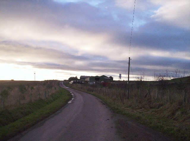
Garvock
Settlement in Kincardineshire
Scotland
Garvock
Garvock is a small village located in the county of Kincardineshire, Scotland. Situated about 3 miles east of the town of Laurencekirk, Garvock is surrounded by picturesque countryside and offers a peaceful and idyllic setting for its residents.
The village is known for its rich history, dating back centuries. It was originally a rural community that relied heavily on agriculture and farming. Over time, however, it has evolved into a more residential area with a mix of traditional stone-built houses and more modern homes.
Garvock benefits from its proximity to Laurencekirk, which provides essential amenities such as shops, schools, and healthcare facilities. This allows residents to enjoy a rural lifestyle while still having easy access to everyday necessities.
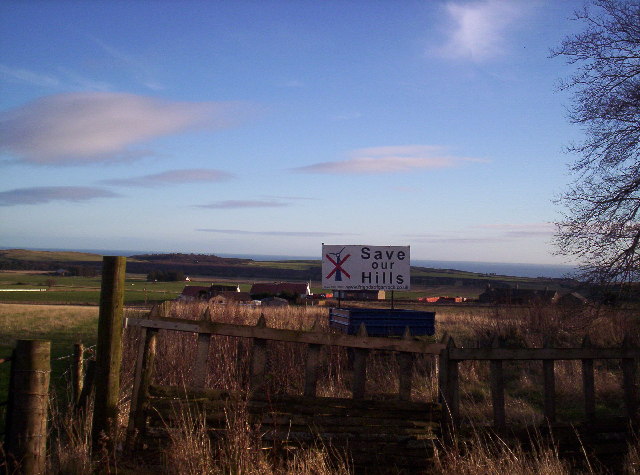
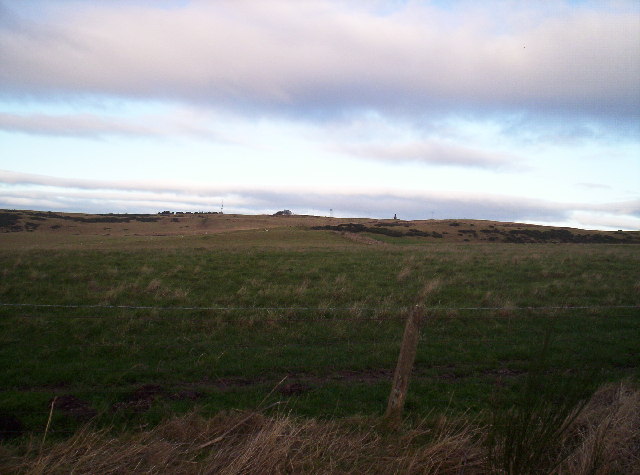
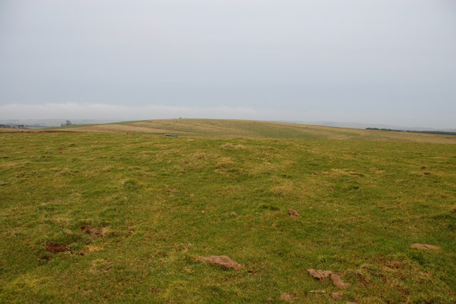
Nature enthusiasts will appreciate Garvock's stunning natural surroundings. The village is located close to the Cairngorms National Park, offering ample opportunities for outdoor activities such as hiking, cycling, and wildlife spotting. The nearby River North Esk also provides a picturesque setting for fishing and leisurely walks.
Although Garvock is a relatively small village, it has a strong sense of community. Local events and gatherings, including the annual village fete, bring residents together and foster a friendly and welcoming atmosphere.
In summary, Garvock is a charming village in Kincardineshire, Scotland, with a rich history and a close-knit community. Its beautiful countryside, convenient location, and strong sense of community make it an appealing place to live for those seeking a peaceful and picturesque lifestyle.
If you have any feedback on the listing, please let us know in the comments section below.
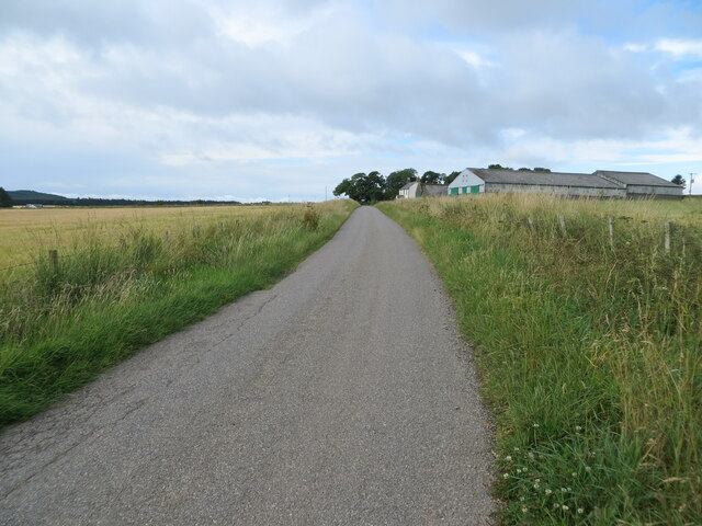
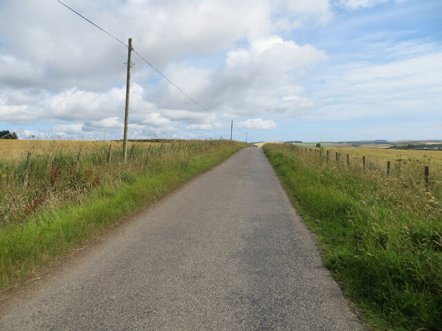
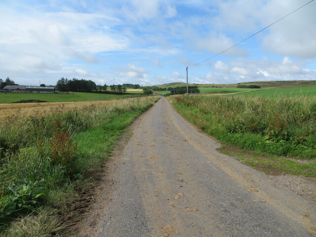
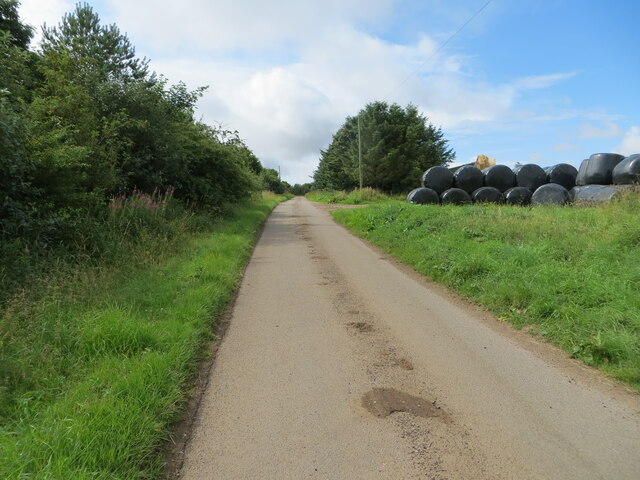
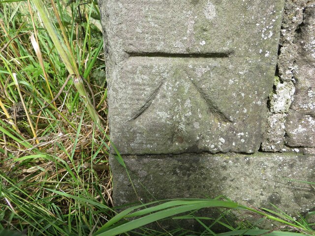
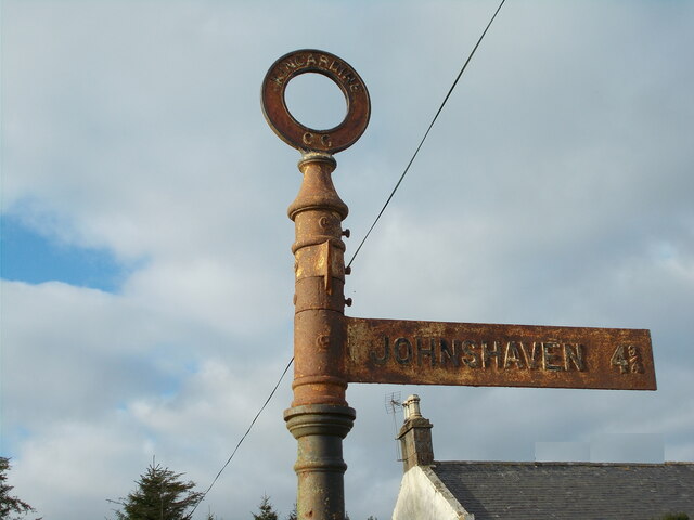
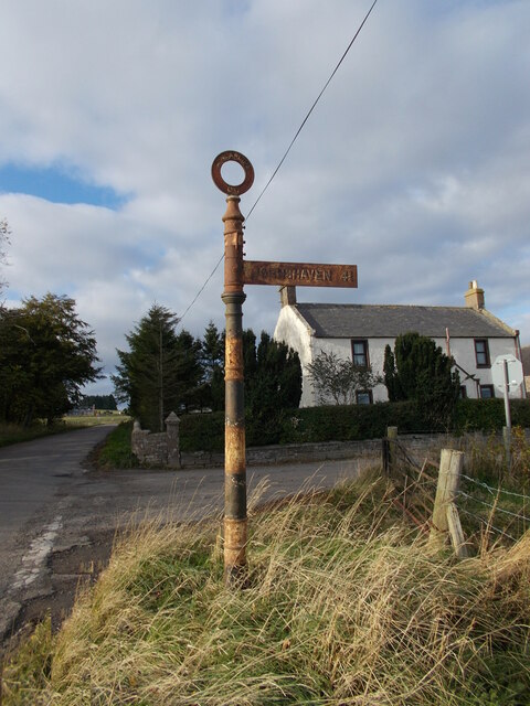
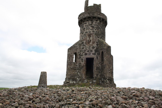
Garvock Images
Images are sourced within 2km of 56.820762/-2.4275607 or Grid Reference NO7470. Thanks to Geograph Open Source API. All images are credited.


Garvock is located at Grid Ref: NO7470 (Lat: 56.820762, Lng: -2.4275607)
Unitary Authority: Aberdeenshire
Police Authority: North East
What 3 Words
///mostly.supply.sandpaper. Near Laurencekirk, Aberdeenshire
Nearby Locations
Related Wikis

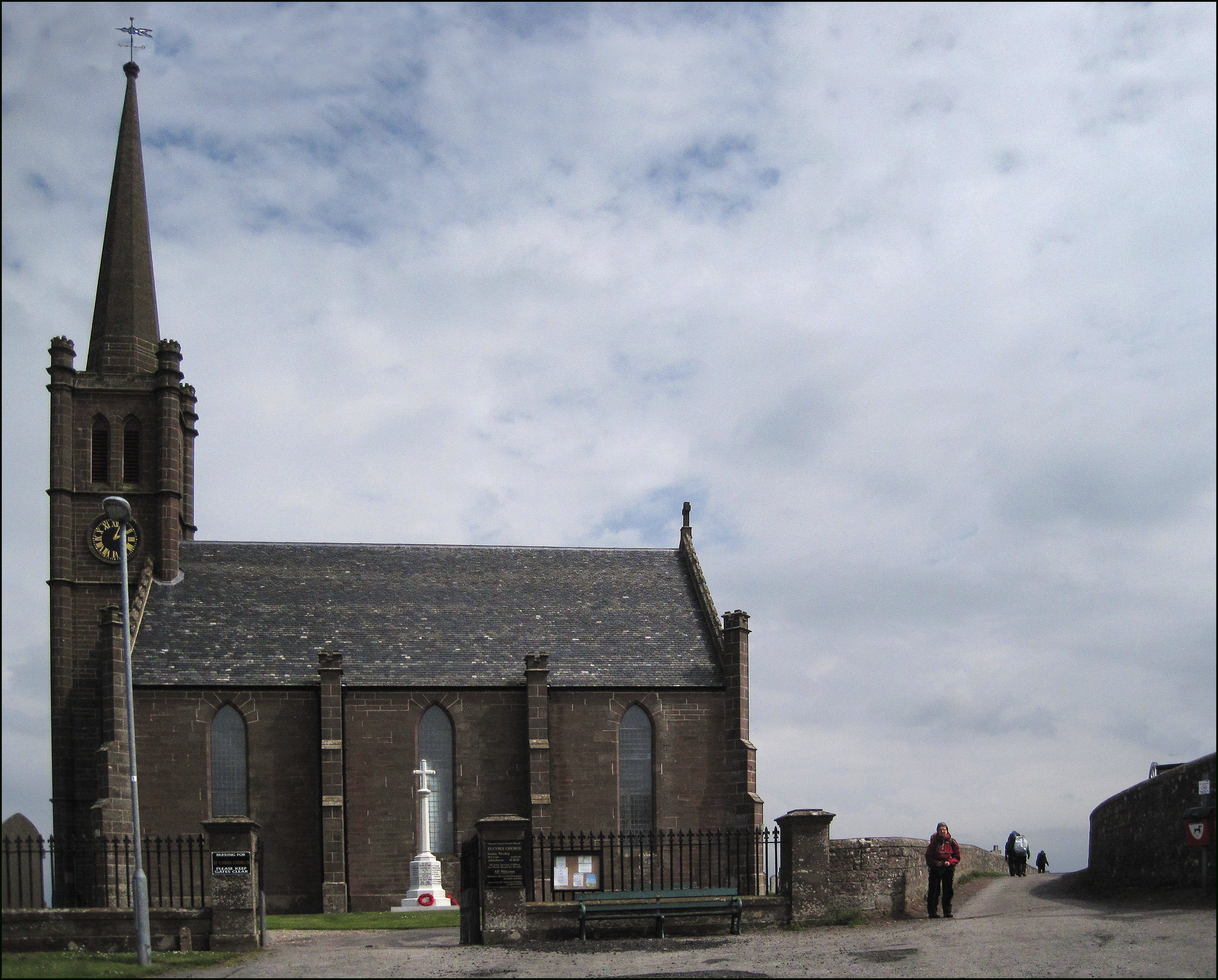
Laurencekirk
Laurencekirk (, Scots: Lowrenkirk, Scottish Gaelic: Eaglais Labhrainn), locally known as Lournie, is a small town in the historic county of Kincardineshire...

Laurencekirk railway station
Laurencekirk railway station is a railway station serving the communities of Laurencekirk and The Mearns in Aberdeenshire, Scotland. The station was reopened...

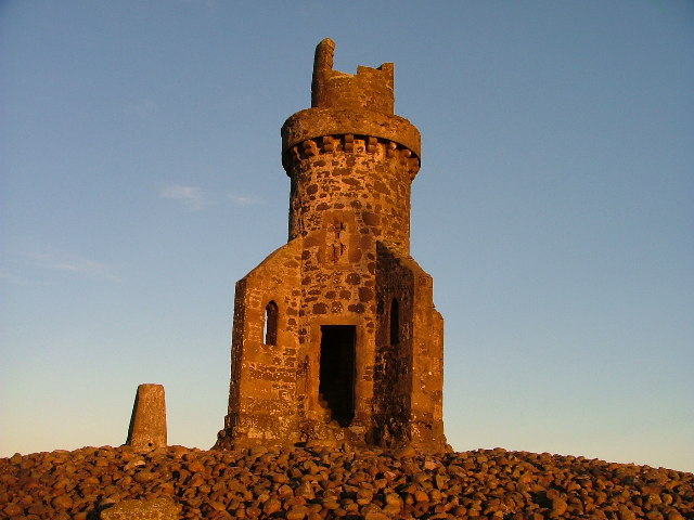
Lauriston Castle, Aberdeenshire
Lauriston Castle stands on a clifftop site near the Aberdeenshire village of St Cyrus and just over a mile inland from the North Sea coast of Scotland...

Lauriston railway station
Lauriston railway station served the village of Bush, Aberdeenshire, Scotland from 1865 to 1966 on the Montrose and Bervie Railway. == History == The station...
St Cyrus
St Cyrus or Saint Cyrus (Scots: Saunt Ceerus), formerly Ecclesgreig (from Scottish Gaelic: Eaglais Chiric) is a village in the far south of Aberdeenshire...

St Cyrus railway station
St Cyrus railway station served the village of St Cyrus, Aberdeenshire, Scotland from 1865 to 1951. == History == The station was opened on 1 November...

Thornton Castle, Marykirk
Thornton Castle, Marykirk, Aberdeenshire is a fortress or fortified residence in Marykirk, Aberdeenshire. Parts of the house date from 1531.It was the...

Marykirk railway station
Marykirk railway station served the village of Marykirk, Kincardineshire, Scotland from 1849 to 1956 on the Aberdeen Railway. == History == The station...
Nearby Amenities
Located within 500m of 56.820762,-2.4275607Have you been to Garvock?
Leave your review of Garvock below (or comments, questions and feedback).