Glas-Eileanan

Island Group in Inverness-shire

Scotland

Glas-Eileanan
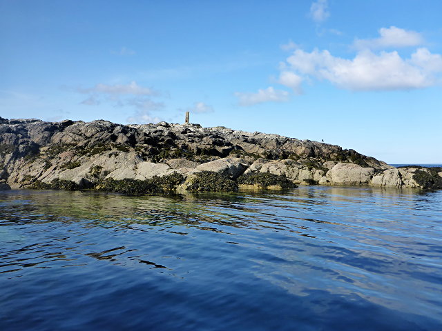
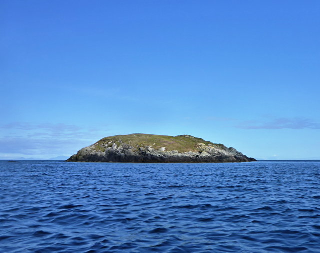
Sgeir Mhic Iamain There's a concrete pillar on top of this islet.  I can't be sure, but it's likely that it's a former navigation aid.  There's also an oystercatcher - I'm more sure of that, and it hasn't stayed as long.
Sgeir Mhic Iamain Credit: Toby Speight

The requested URL returned error: 429 Too Many Requests

If you have any feedback on the listing, please let us know in the comments section below.

Glas-Eileanan Images

Images are sourced within 2km of 57.356081/-7.2137483 or Grid Reference NF8641. Thanks to Geograph Open Source API. All images are credited.

Sgeir Mhic Iamain There's a concrete pillar on top of this islet.  I can't be sure, but it's likely that it's a former navigation aid.  There's also an oystercatcher - I'm more sure of that, and it hasn't stayed as long.
Sgeir Mhic Iamain
There's a concrete pillar on top of this islet. I can't be sure, but it's likely that it's a former navigation aid. There's also an oystercatcher - I'm more sure of that, and it hasn't stayed as long.
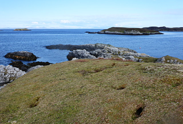
Eilean Mhic'ille Phadruig I think the burrows are puffin nests.
Eilean Mhic'ille Phadruig
I think the burrows are puffin nests.
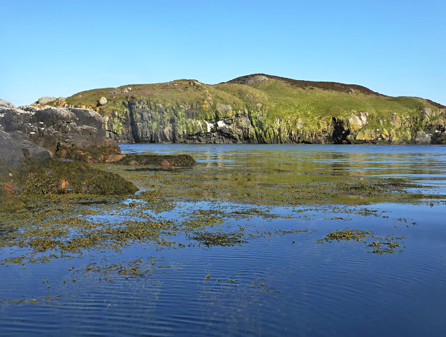
Southernmost of the Glas-eileanan
Liursaigh Glas
Liursaigh Glas
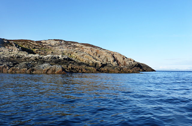
Southern tip of Liursaigh Dubh
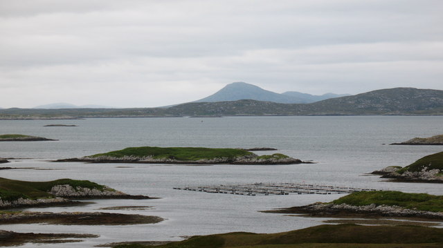
Islands in the bay. Looking across Bagh a Tuath towards islets, skerries and a fish farm.
Islands in the bay.
Looking across Bagh a Tuath towards islets, skerries and a fish farm.
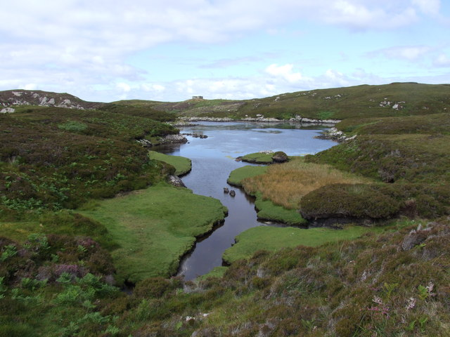
Ob Dubh Loch Shieleabhaig has the most complex series of tidal inlets.  Some are dry at low tide, whilst some are isolated salt-water or brackish lagoons.  A wonderful and complex area.  Ob is the local name for this kind of sheltered (usually tidal) loch.
Ob Dubh
Loch Shieleabhaig has the most complex series of tidal inlets. Some are dry at low tide, whilst some are isolated salt-water or brackish lagoons. A wonderful and complex area. Ob is the local name for this kind of sheltered (usually tidal) loch.
Liursaigh Dubh
Liursaigh Dubh
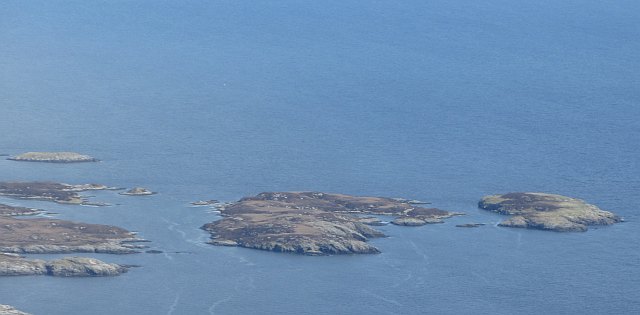
Liursaigh Dubh and Liursaigh Glas Islands at the mouth of Loch Sgiopoirt, seen from Hecla /Thacla.
Liursaigh Dubh and Liursaigh Glas
Islands at the mouth of Loch Sgiopoirt, seen from Hecla /Thacla.
Show me another place!

Glas-Eileanan is located at Grid Ref: NF8641 (Lat: 57.356081, Lng: -7.2137483)

Unitary Authority: Na h-Eileanan an Iar

Police Authority: Highlands and Islands

What 3 Words

///beeline.gain.staining. Near Balivanich, Na h-Eileanan Siar

Nearby Locations

Glas-Eileanan

Related Wikis

Eilean na Cille

Eilean na Cille, south east of Benbecula is an island of the Outer Hebrides connected to Grimsay (South) by a causeway which carries the B891. The road...

Wiay, Outer Hebrides

Wiay (Scottish Gaelic: Bhuia or Fuidheigh) is an uninhabited island in the Outer Hebrides. It lies south-east of Benbecula and measures approximately...

Eileanan Chearabhaigh

Eileanan Chearabhaigh is a collection of small uninhabited tidal islands off the south east coast of Benbecula in the Outer Hebrides of Scotland. The English...

Ushenish Lighthouse

The Ushenish Lighthouse is an active lighthouse located in South Uist, Outer Hebrides, Scotland. == History == Ushenish Lighthouse was designed by engineers...

Have you been to Glas-Eileanan?

Leave your review of Glas-Eileanan below (or comments, questions and feedback).