Spònais

Coastal Feature, Headland, Point in Inverness-shire

Scotland

Spònais

Sculpture at the end of the road One of the sculptures at the end of the road. Literally at the very end of the road along Loch Euphort.
Sculpture at the end of the road Credit: Malcolm Neal

The requested URL returned error: 429 Too Many Requests

If you have any feedback on the listing, please let us know in the comments section below.
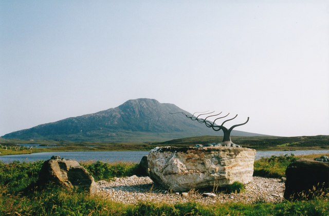
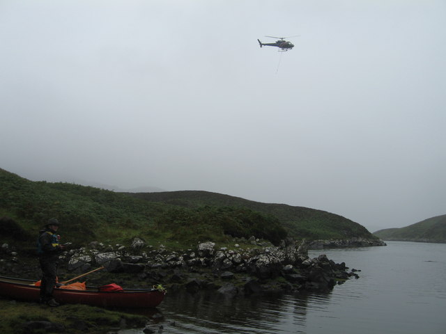
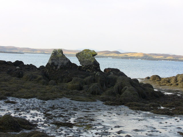
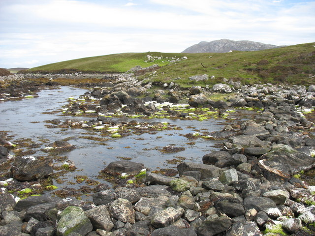
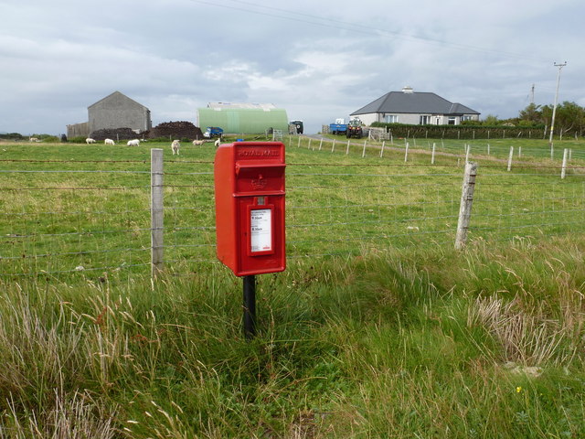
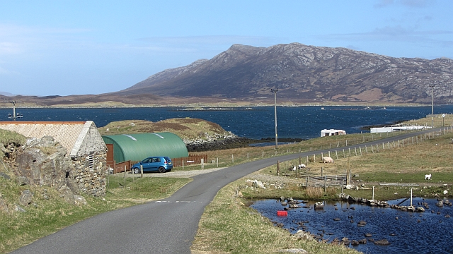
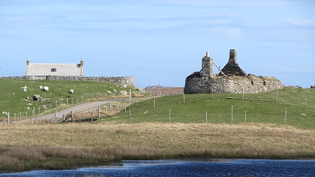
Spònais Images

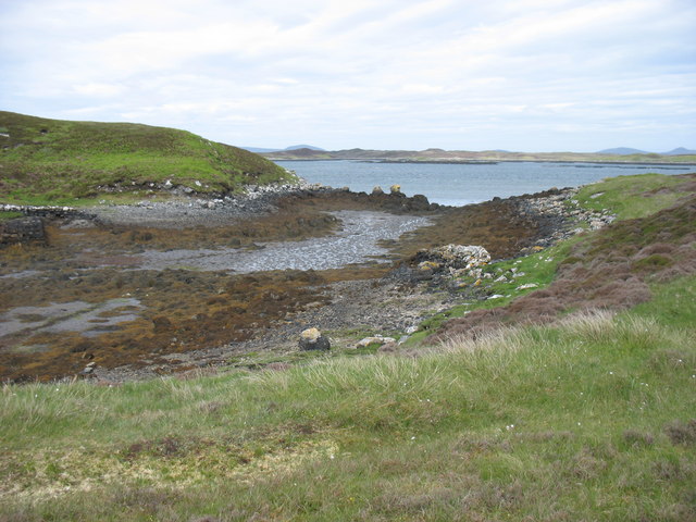
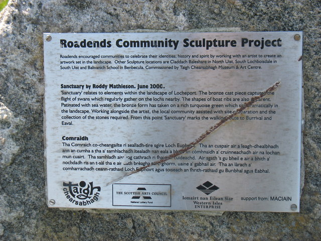
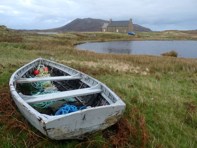
Images are sourced within 2km of 57.559074/-7.2096029 or Grid Reference NF8864. Thanks to Geograph Open Source API. All images are credited.
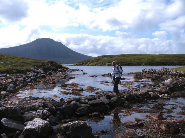
Sculpture at the end of the road One of the sculptures at the end of the road. Literally at the very end of the road along Loch Euphort.
Sculpture at the end of the road
One of the sculptures at the end of the road. Literally at the very end of the road along Loch Euphort.
Acairseid LI We had canoed into here from Clachan on Loch Euphort hoping to find a quiet camping spot on Loch Thundair.  However on walking over from Acairseid Li to Thundair we caught sight of a large fish farm at the South end of the loch.  This helicopter was servicing the fish farm
Acairseid LI
We had canoed into here from Clachan on Loch Euphort hoping to find a quiet camping spot on Loch Thundair. However on walking over from Acairseid Li to Thundair we caught sight of a large fish farm at the South end of the loch. This helicopter was servicing the fish farm
Camel Rock
Camel Rock
Loch Obasaraigh Eaval, the highest point on North Uist, is the hill on the far side of the loch. Although the route to the hill is indirect (to the left [east] of the loch as seen here), this is the best approach if you wish to climb Eaval.
Loch Obasaraigh
Eaval, the highest point on North Uist, is the hill on the far side of the loch. Although the route to the hill is indirect (to the left [east] of the loch as seen here), this is the best approach if you wish to climb Eaval.
Stepping stones at the outlet from Loch Obasaraigh In order to climb Eaval <a href="https://www.geograph.org.uk/gridref/NF8960">NF8960</a> by the simplest (though not easy!) route, it is necessary to cross the outflow from Loch Obasaraigh. The map labels this as 'stepping stones', but it is really a rough stone causeway. I think it would need a very high tide, or a lot of water in the loch (it is a big loch with a quite small catchment area) to make this crossing difficult.
To be honest, it is difficult to tell whether this photo is in NF8962 or NF8963. My GPS recorded the northings as 62992 and so I have entered this as in NF8962.
Stepping stones at the outlet from Loch Obasaraigh
In order to climb Eaval NF8960 by the simplest (though not easy!) route, it is necessary to cross the outflow from Loch Obasaraigh. The map labels this as 'stepping stones', but it is really a rough stone causeway. I think it would need a very high tide, or a lot of water in the loch (it is a big loch with a quite small catchment area) to make this crossing difficult. To be honest, it is difficult to tell whether this photo is in NF8962 or NF8963. My GPS recorded the northings as 62992 and so I have entered this as in NF8962.
The outflow to Loch Euphort at Clachan Bhiurabhal Clearly taken at low tide.
The outflow to Loch Euphort at Clachan Bhiurabhal
Clearly taken at low tide.
The Roadends Community Sculpture Project This plaque at Locheport explains the sculpture project.
The Roadends Community Sculpture Project
This plaque at Locheport explains the sculpture project.
Loch Nighe and Obisary A lonely croft at the end of the road.
Loch Nighe and Obisary
A lonely croft at the end of the road.
Negotiating the stepping stones Some guide books warn that this crossing can be difficult at high tide, but on this occasion there was no problem despite the tide being in. Loch Obasaraigh is interesting as some tidal water must enter it on occasions, so one wonders if the water is salty, brackish or mostly fresh.
Negotiating the stepping stones
Some guide books warn that this crossing can be difficult at high tide, but on this occasion there was no problem despite the tide being in. Loch Obasaraigh is interesting as some tidal water must enter it on occasions, so one wonders if the water is salty, brackish or mostly fresh.
Tidal inlet at Clachan Burrabhal At one time this must have been used by small vessels as there are remains of a rough stone pier to the left of centre.
Tidal inlet at Clachan Burrabhal
At one time this must have been used by small vessels as there are remains of a rough stone pier to the left of centre.
Sidinish: postbox № HS6 20 and the old post office This postbox stands outside the old post office, which was in the building to the right. See <a href="https://www.geograph.org.uk/photo/854445">NF8763 : Sidinish Post Office</a> for a picture of the post office when it was operational.

The post office had opened in the early part of 1930 but fell victim to the Network Change programme - in which 2,500 branches nationwide were axed - and its last day of business was 21 July 2008.
Sidinish: postbox № HS6 20 and the old post office
This postbox stands outside the old post office, which was in the building to the right. See NF8763 : Sidinish Post Office for a picture of the post office when it was operational. The post office had opened in the early part of 1930 but fell victim to the Network Change programme - in which 2,500 branches nationwide were axed - and its last day of business was 21 July 2008.
Loch Euphort: Loch full of islands, island full of lochs
Obisary Pasture on the southern shore of Loch Euphort.
Obisary
Pasture on the southern shore of Loch Euphort.
Loch Obasaraigh A view from the stepping stones at the loch's outlet. The hill is Eabhal, North Uist's highest.
Loch Obasaraigh
A view from the stepping stones at the loch's outlet. The hill is Eabhal, North Uist's highest.
Saighdinis A settlement strung out along the southern shore of Loch Euphort.
Saighdinis
A settlement strung out along the southern shore of Loch Euphort.
Saighdinis A ruin beside the road along Loch Euphort.
Saighdinis
A ruin beside the road along Loch Euphort.
Sidinish: art studio by Loch Nighe A small outbuilding right at the end of the public road. It was closed just now, at 5:15. The summit of Eaval is in the background.
Sidinish: art studio by Loch Nighe
A small outbuilding right at the end of the public road. It was closed just now, at 5:15. The summit of Eaval is in the background.
Path, Obisary The starting point for a lot of ascents of Eaval.
Path, Obisary
The starting point for a lot of ascents of Eaval.
Show me another place!

Spònais is located at Grid Ref: NF8864 (Lat: 57.559074, Lng: -7.2096029)

Unitary Authority: Na h-Eileanan an Iar

Police Authority: Highlands and Islands

Also known as: Sponish

What 3 Words

///rising.branched.helpless. Near Lochmaddy, Na h-Eileanan Siar

Related Wikis

Loch Sgadabhagh

Loch Sgadabhagh or Loch Scadavay is a body of water on the island of North Uist, Scotland. The name may be of Old Norse derivation meaning "lake of tax...

Taigh Chearsabhagh

Taigh Chearsabhagh is an arts centre and museum in Lochmaddy on the island of North Uist, Scotland.Taigh Chearsabhagh was built in 1741 and originally...

Lochmaddy

Lochmaddy (Scottish Gaelic: Loch nam Madadh [l̪ˠɔx nə ˈmat̪əɣ], "Loch of the Hounds") is the administrative centre of North Uist in the Outer Hebrides...

Fraoch-Eilean

Fraoch-eilean is a small island with an uncertain population north of Benbecula in the Outer Hebrides of Scotland. It is about 55 hectares (140 acres...

Nearby Amenities

Located within 500m of 57.559074,-7.2096029
Spònais
Name En: Sponish
Name Gd: Spònais
Natural: cape
Lat/Long: 57.5585987/-7.2090912
Bàgh Spònais
Name En: Bay Sponish
Name Gd: Bàgh Spònais
Natural: bay
Lat/Long: 57.5597497/-7.2038985
Àirigh Ghocmain
Historic: shieling
Lat/Long: 57.5630829/-7.2087184
The data included in this document is from www.openstreetmap.org. The data is made available under ODbL.

Have you been to Spònais?

Leave your review of Spònais below (or comments, questions and feedback).