Àird Choinnich
Coastal Feature, Headland, Point in Inverness-shire
Scotland
Àird Choinnich

Àird Choinnich is a prominent coastal feature located in Inverness-shire, Scotland. This headland, also known as a point, juts out into the North Atlantic Ocean, offering breathtaking views of the surrounding coastline. Situated between the villages of Arisaig and Morar, Àird Choinnich is a popular destination for nature lovers, hikers, and photographers.
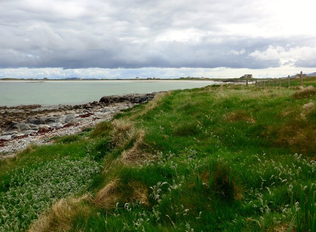
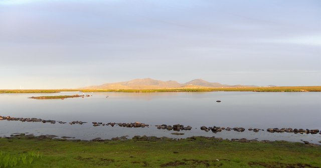
The headland is characterized by its rugged cliffs, which rise dramatically from the sea, creating a striking visual contrast against the deep blue waters. The cliffs are formed by layers of sedimentary rock, displaying the geological history of the area. Visitors can witness the erosive forces of wind and water at work, as the waves crash against the cliffs, sculpting the coastline over time.
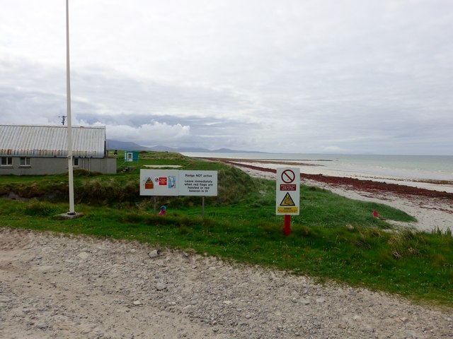
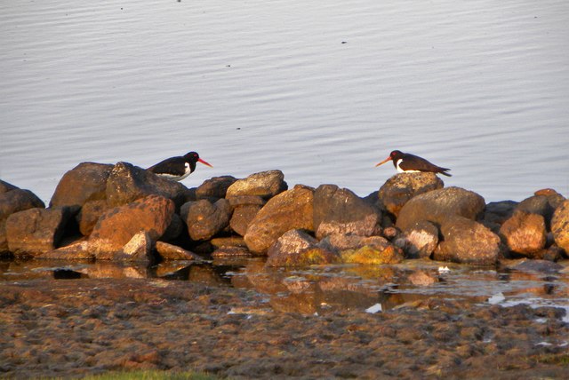
Àird Choinnich is known for its diverse wildlife and is a designated Site of Special Scientific Interest. Birdwatchers can spot a variety of seabirds, including gulls, fulmars, and cormorants, nesting along the cliffs. The area is also home to marine mammals, such as seals and dolphins, which can occasionally be seen swimming offshore.
Access to Àird Choinnich is relatively easy, with a well-maintained footpath leading to the headland from the nearby villages. The path offers stunning views of the surrounding landscape, including the nearby islands of Eigg, Rum, and Skye. Visitors can enjoy leisurely walks, picnics, or simply take in the tranquility of the coastal environment.
In summary, Àird Choinnich is a picturesque headland in Inverness-shire, Scotland, offering captivating views of the North Atlantic coastline. With its rugged cliffs, diverse wildlife, and accessible footpaths, it is a must-visit destination for nature enthusiasts and those seeking a peaceful coastal experience.
If you have any feedback on the listing, please let us know in the comments section below.
Àird Choinnich Images
Images are sourced within 2km of 57.388831/-7.3953744 or Grid Reference NF7546. Thanks to Geograph Open Source API. All images are credited.

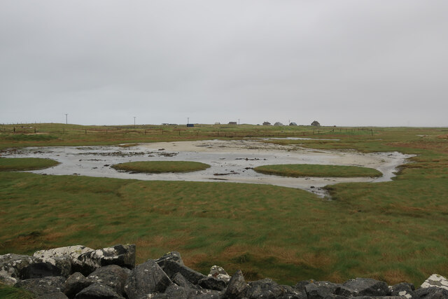


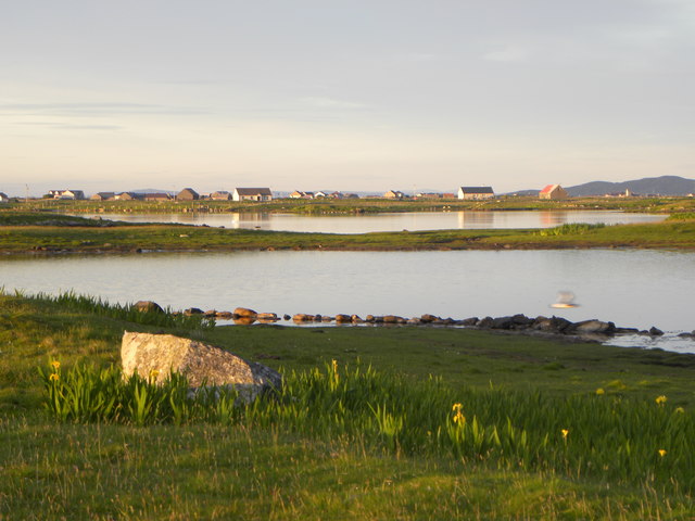

![Ruins near Loch Bi This was intended as a bold plan to reach an 'unbagged' square [NF7744], but it was a plan that failed, the man with the camera not being tenacious enough to progress further in trainers. There's plenty of wet ground even before the loch [just visible left] is reached, and this contributor even declined the loan of wellies as offered at the local croft. This ruined cottage was far enough.](https://s3.geograph.org.uk/geophotos/06/21/27/6212751_0cf6e32c.jpg)

Àird Choinnich is located at Grid Ref: NF7546 (Lat: 57.388831, Lng: -7.3953744)
Unitary Authority: Na h-Eileanan an Iar
Police Authority: Highlands and Islands
Also known as: Ardkenneth
What 3 Words
///path.carefully.leopard. Near Balivanich, Na h-Eileanan Siar
Nearby Locations
Related Wikis

Kilaulay
Kilaulay (Scottish Gaelic: Cill Amhlaigh / Cill Amhlaidh ) is a crofting township on the island of South Uist, in the Outer Hebrides of Scotland. Kilaulay...

Balgarva
Balgarva (Scottish Gaelic: Baile Gharbhaidh) is a crofting settlement on South Uist in the Outer Hebrides, Scotland. Balgarva is within the parish of South...

Iochdar
Iochdar (Scottish Gaelic: An t-Ìochdair), also spelled Eochar, is a hamlet and community on the west coast of the island of South Uist, in the Outer Hebrides...

Loch Bee
Loch Bì, sometimes anglicised as Loch Bee, is the largest loch on the island of South Uist in the Outer Hebrides of Scotland. It lies at the northern end...

Carnan (townland)
Carnan is a townland in County Tyrone, Northern Ireland. It is situated in the historic barony of Dungannon Upper and the civil parish of Arboe and covers...

Borve Castle, Benbecula
Borve Castle, also known as Castle Wearie, and Caisteal Bhuirgh in Scottish Gaelic, is a ruined 14th-century tower house, located at the south-west of...

Our Lady of the Isles
Our Lady of the Isles (Gaelic: Moire ro Naomh nan Eilean or Bana Thighearna nan Eilean) is a sculpture of the Madonna and Child, on South Uist in the Outer...

Grimsay (South East Benbecula)
Grimsay, south east of Benbecula is a tidal island of the Outer Hebrides. It is connected to Benbecula by a causeway which carries the B891. In the 2001...
Nearby Amenities
Located within 500m of 57.388831,-7.3953744Have you been to Àird Choinnich?
Leave your review of Àird Choinnich below (or comments, questions and feedback).