Ness of Lussetter
Coastal Feature, Headland, Point in Shetland
Scotland
Ness of Lussetter

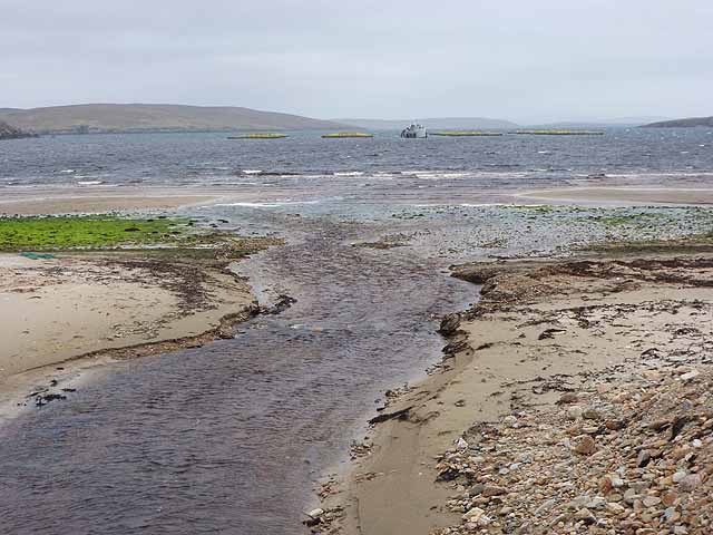
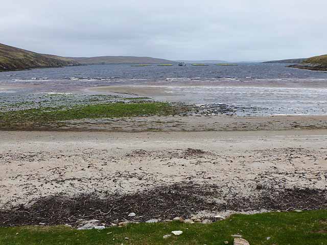
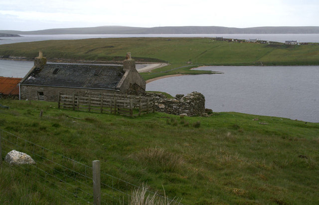
Ness of Lussetter is a prominent coastal feature located in the Shetland Islands, an archipelago in the northernmost part of Scotland. It is a headland that juts out into the North Sea, forming a point that marks the easternmost tip of the Mainland, the largest island in the Shetland group.
Rising to an elevation of around 30 meters (98 feet), Ness of Lussetter offers stunning panoramic views of the surrounding coastline and the open sea. Its rugged cliffs are composed of sedimentary rocks, displaying layers that bear witness to the geological history of the area. The headland is mainly covered in heather and grass, creating a picturesque landscape that attracts both locals and tourists.
The area surrounding Ness of Lussetter is rich in wildlife, serving as a habitat for various bird species such as puffins, fulmars, and guillemots. Seals and otters can also be spotted along the rocky shoreline, adding to the area's natural charm.
Due to its exposed location, Ness of Lussetter can experience strong winds and turbulent seas, particularly during stormy weather. However, this also makes it a popular spot for birdwatching and photography enthusiasts, who are drawn to the dramatic scenery and the chance to capture nature's raw power.
Access to Ness of Lussetter is relatively easy, with a car park located nearby and a walking trail leading up to the headland. Visitors are advised to take caution and wear appropriate footwear, as the terrain can be uneven and slippery.
Overall, Ness of Lussetter is a captivating coastal feature that showcases the natural beauty and ruggedness of the Shetland Islands.
If you have any feedback on the listing, please let us know in the comments section below.
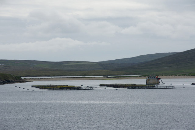
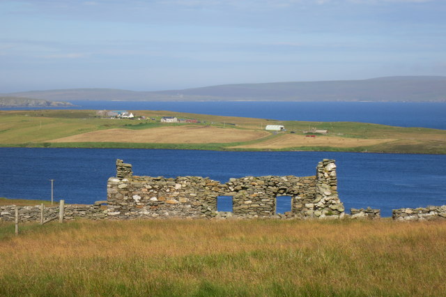
Ness of Lussetter Images
Images are sourced within 2km of 60.595761/-1.0336211 or Grid Reference HU5390. Thanks to Geograph Open Source API. All images are credited.


Ness of Lussetter is located at Grid Ref: HU5390 (Lat: 60.595761, Lng: -1.0336211)
Unitary Authority: Shetland Islands
Police Authority: Highlands and Islands
What 3 Words
///glaze.ratio.consoled. Near Gutcher, Shetland Islands
Nearby Locations
Related Wikis

Mid Yell
Mid Yell is a coastal settlement on the island of Yell, the second largest of Shetland Islands, Scotland. Mid Yell, the largest settlement on the island...

Hascosay
Hascosay (Scots: Hascosay; Old Norse "Hafskotsey") is a small island lying between Yell and Fetlar in the Shetland Islands, Scotland. == Geography and... ==

Aywick
Aywick is a small settlement on the east side of Yell, an island forming part of the Shetland Islands north of Scotland.The naturalist Bobby Tulloch was...

Basta, Shetland
Basta is a hamlet on the island of Yell in the Shetland islands of Scotland. It is on the shores of Basta Voe and is in the parish of Yell. == References... ==
Yell, Shetland
Yell (Scots: Yell) is one of the North Isles of Shetland, Scotland. In the 2011 census it had a usually resident population of 966. It is the second largest...

Otterswick
Otterswick is a hamlet on the island of Yell in the Shetland Islands, on the inlet of Otters Wick. It is on the east side of the island. There is also...

Brough Lodge
Brough Lodge is a 19th-century Gothic mansion on Fetlar, one of the Shetland Islands, in northern Scotland. Built by the Nicolson family, who were responsible...

Burra Ness Broch
Burra Ness Broch is an iron-age broch located on the east coast of the island of Yell, Shetland, Scotland. == Location == Burra Ness Broch (grid reference...
Have you been to Ness of Lussetter?
Leave your review of Ness of Lussetter below (or comments, questions and feedback).