Rocken End
Coastal Feature, Headland, Point in Hampshire
England
Rocken End
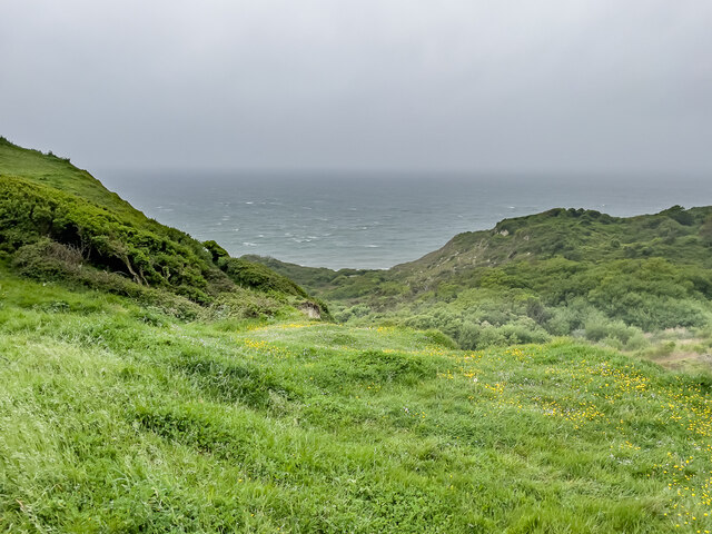
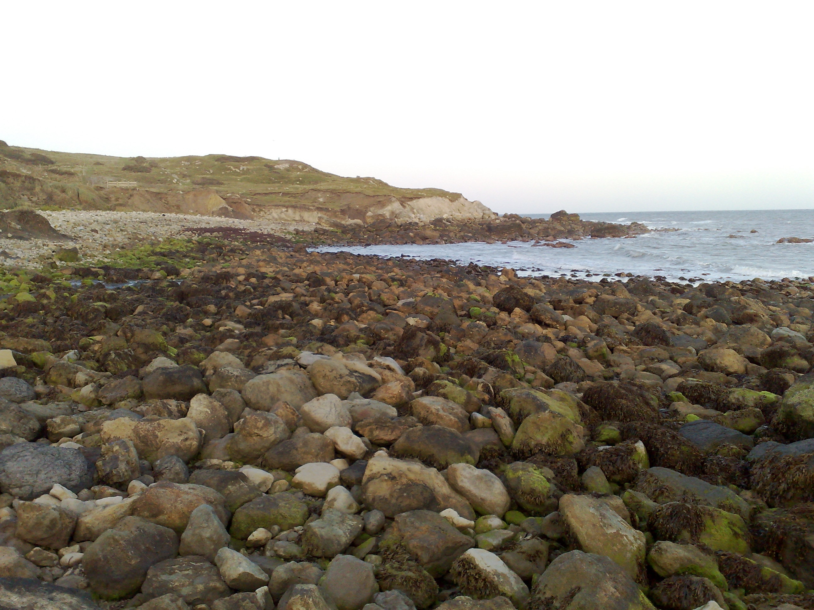
Rocken End is a prominent headland located in Hampshire, England. Situated along the southern coast of the country, it juts out into the English Channel, providing breathtaking views of the surrounding area. This coastal feature is known for its rugged and rocky terrain, giving it its distinctive name.
The headland is characterized by its sheer cliffs, which reach heights of up to 100 meters in some areas. These cliffs are composed mainly of chalk and flint, creating a striking contrast against the vibrant blue waters of the English Channel. Due to its elevated position, Rocken End offers visitors panoramic vistas, allowing them to observe the vast expanse of the ocean and the distant coastline.
The headland is a popular destination for nature enthusiasts and hikers, who are drawn to its scenic beauty and diverse wildlife. The surrounding coastal area is home to a variety of bird species, including gulls, cormorants, and peregrine falcons. Additionally, the waters below Rocken End are teeming with marine life, making it a great spot for fishing and snorkeling.
Rocken End is also steeped in history, with archaeological evidence suggesting that it has been used by humans for thousands of years. It is believed that the headland was once a strategic lookout point during times of conflict, as it offered clear views of approaching ships. Today, remnants of ancient settlements and fortifications can still be seen along the cliffs, providing a glimpse into the area's rich past.
In conclusion, Rocken End is a captivating headland in Hampshire, England. With its dramatic cliffs, stunning views, and historical significance, it is a must-visit destination for anyone seeking a truly memorable coastal experience.
If you have any feedback on the listing, please let us know in the comments section below.
Rocken End Images
Images are sourced within 2km of 50.578151/-1.307051 or Grid Reference SZ4975. Thanks to Geograph Open Source API. All images are credited.


Rocken End is located at Grid Ref: SZ4975 (Lat: 50.578151, Lng: -1.307051)
Unitary Authority: Isle of Wight
Police Authority: Hampshire
What 3 Words
///pulse.changes.underline. Near Niton, Isle of Wight
Nearby Locations
Related Wikis
Watershoot Bay
Watershoot Bay is a bay on the southernmost tip of the Isle of Wight, England. It lies 1+1⁄2 miles (2.4 km) to the south-west of the village of Niton....
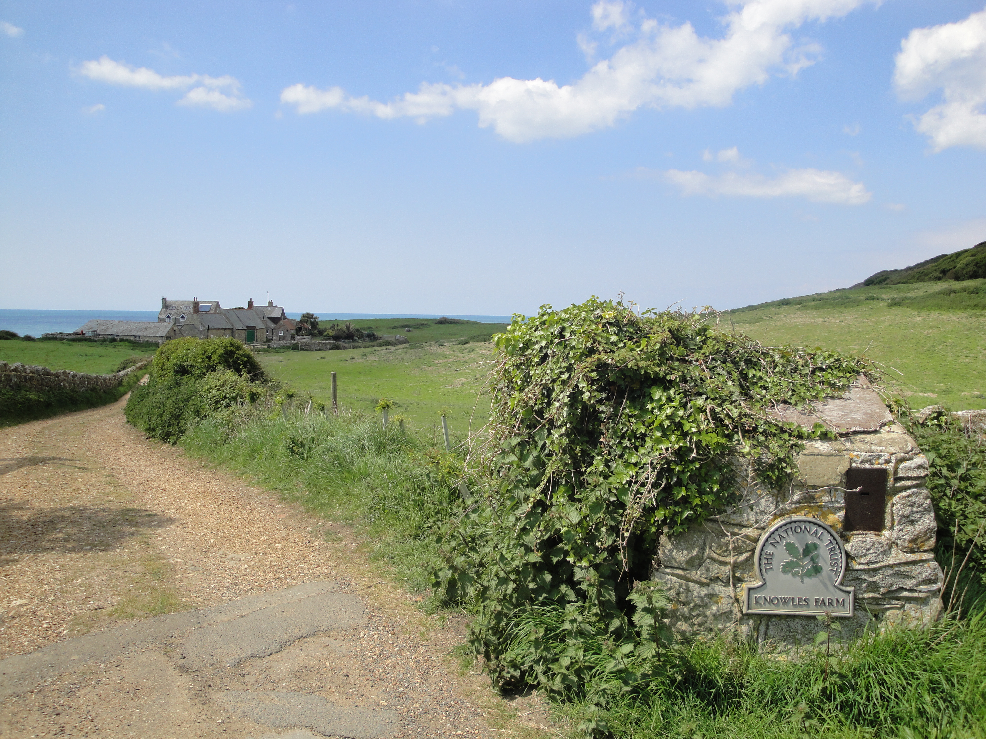
Knowles Farm
Knowles Farm is the name of an area of National Trust land at the southern tip of the Isle of Wight located at St. Catherine's Point. It takes its name...

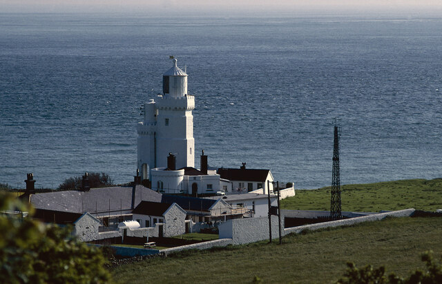
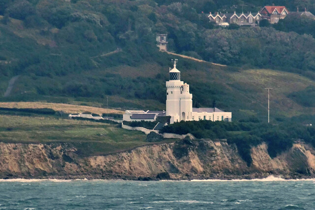
St Catherine's Lighthouse
St Catherine's Lighthouse is a lighthouse located at St Catherine's Point at the southern tip of the Isle of Wight. It is one of the oldest lighthouse...

St Catherine's Point
St Catherine's Point is the southernmost point on the Isle of Wight. It is close to the village of Niton and the point where the Back of the Wight changes...
Nearby Amenities
Located within 500m of 50.578151,-1.307051Have you been to Rocken End?
Leave your review of Rocken End below (or comments, questions and feedback).