Neap of Skea

Coastal Feature, Headland, Point in Shetland

Scotland

Neap of Skea

Waiting for the boats It might just be serendipitous but the tall, rough rock beats many pieces of sculpture. Given her position by the pier north of Collafirth and looking out to sea, "Waiting for the boats" would seem an appropriate title for this fishwife.
Waiting for the boats Credit: AlastairG

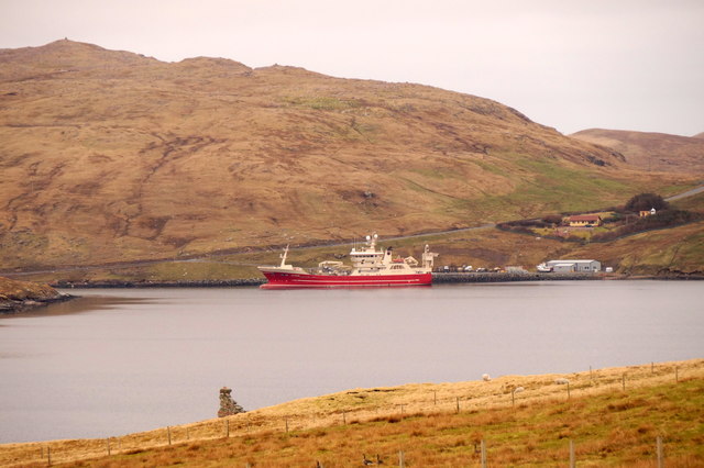
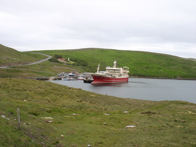
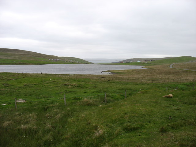
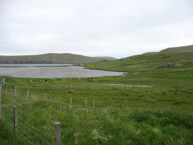
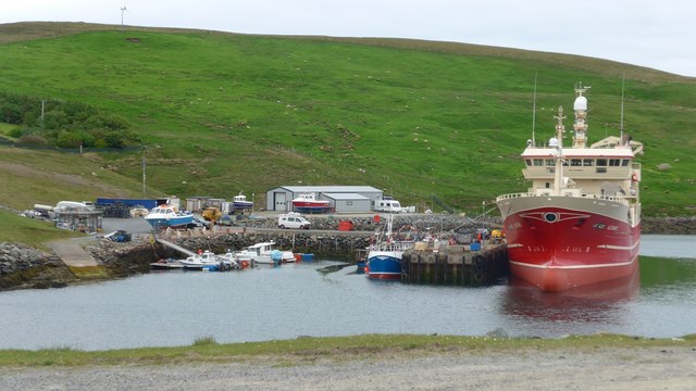
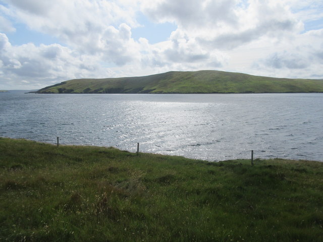
Neap of Skea is a prominent coastal feature located in the Shetland Islands, an archipelago in Scotland. It is a headland, or a narrow piece of land that extends into the sea, forming a point. Neap of Skea is situated on the west coast of the Mainland, the largest island in the Shetland group.

The headland is known for its dramatic cliffs that rise up to 100 meters above sea level. These cliffs are composed of rugged, weathered rocks, creating a stunning and picturesque landscape. The exposed location of Neap of Skea makes it an ideal spot for birdwatching, as it attracts various seabird species, including puffins, guillemots, and fulmars.

At the tip of the headland, there is a natural arch, which is a notable feature of Neap of Skea. This arch has been formed by the relentless power of the sea eroding the rocks over time. It provides a unique and captivating view, especially during high tides when waves crash through the arch, adding to the scenic beauty of the area.

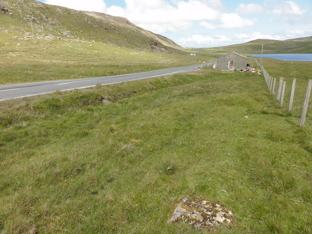
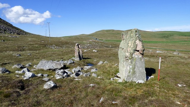
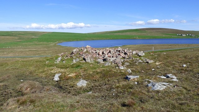
Neap of Skea is also of historical significance. It is believed to have been inhabited in the past, as evidenced by the presence of ancient ruins and stone structures on the headland. These remnants offer glimpses into the lives of the early settlers who once occupied this coastal area.

Overall, Neap of Skea is a striking coastal feature in Shetland, offering visitors a combination of natural beauty, wildlife viewing opportunities, and a glimpse into the region's rich history.

If you have any feedback on the listing, please let us know in the comments section below.
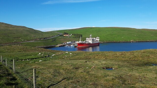
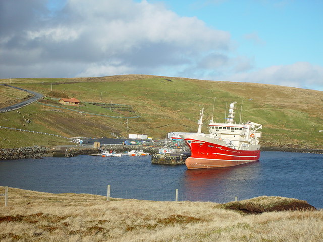
Neap of Skea Images

Images are sourced within 2km of 60.537685/-1.322656 or Grid Reference HU3783. Thanks to Geograph Open Source API. All images are credited.

Waiting for the boats It might just be serendipitous but the tall, rough rock beats many pieces of sculpture. Given her position by the pier north of Collafirth and looking out to sea, "Waiting for the boats" would seem an appropriate title for this fishwife.
Waiting for the boats
It might just be serendipitous but the tall, rough rock beats many pieces of sculpture. Given her position by the pier north of Collafirth and looking out to sea, "Waiting for the boats" would seem an appropriate title for this fishwife.
MV Altaire at Collafirth pier, from Queyfirth
MV Altaire in Voe of the Brig She seems to be manoeuvring, perhaps to prepare for her next departure?
MV Altaire in Voe of the Brig
She seems to be manoeuvring, perhaps to prepare for her next departure?
Loch of Housetter The road on the right is, believe it or not, the main A970 on Shetland Mainland. To be fair, this far north it is not exactly busy.
Loch of Housetter
The road on the right is, believe it or not, the main A970 on Shetland Mainland. To be fair, this far north it is not exactly busy.
Housetter and Colla Firth
Collafirth Pier Collafirth Pier redevelopment of a new jetty and out buildings.  The area includes parking for caravans, and provides some basic facilities like a washing machine, electric shower and toilets.
Collafirth Pier
Collafirth Pier redevelopment of a new jetty and out buildings. The area includes parking for caravans, and provides some basic facilities like a washing machine, electric shower and toilets.
Ordnance Survey OSBM bolt Ordnance Survey OSBM bolt, described as NEW OSBM BOLT LIVING ROCK 10.8M SE SIDE RD 17.7M SE C CUL (37.306m above Lerwick datum, 2nd order, new 1970).
Ordnance Survey OSBM bolt
Ordnance Survey OSBM bolt, described as NEW OSBM BOLT LIVING ROCK 10.8M SE SIDE RD 17.7M SE C CUL (37.306m above Lerwick datum, 2nd order, new 1970).
View of the A970 from the OS bolt View north of the A970 from the Ordnance Survey benchmark bolt.
View of the A970 from the OS bolt
View north of the A970 from the Ordnance Survey benchmark bolt.
MV Altaire at Collafirth Pier The Altaire is the only one of Shetland's pelagic fleet which is not based in Whalsay.
MV Altaire at Collafirth Pier
The Altaire is the only one of Shetland's pelagic fleet which is not based in Whalsay.
Colla Firth Looking across Colla Firth, which is just under 1km across so both sides are in the square, to Ness of Queyfirth.
Colla Firth
Looking across Colla Firth, which is just under 1km across so both sides are in the square, to Ness of Queyfirth.
Giant's Grave, Beorgs of Housetter Two large standing stones together with a third recumbent orthostat may be the remains of a facade for a small prehistoric cairn. <span class="nowrap"><a title="https://www.megalithic.co.uk/article.php?sid=6279" rel="nofollow ugc noopener" href="https://www.megalithic.co.uk/article.php?sid=6279">Link</a><img style="margin-left:2px;" alt="External link" title="External link - shift click to open in new window" src="https://s1.geograph.org.uk/img/external.png" width="10" height="10"/></span>
Giant's Grave, Beorgs of Housetter
Two large standing stones together with a third recumbent orthostat may be the remains of a facade for a small prehistoric cairn. LinkExternal link
Trowie Knowe chambered cairn A Neolithic heel shaped chambered cairn with an irregular chamber (Scale 1m). <span class="nowrap"><a title="https://canmore.org.uk/site/834/trowie-knowe-beorgs-of-housetter" rel="nofollow ugc noopener" href="https://canmore.org.uk/site/834/trowie-knowe-beorgs-of-housetter">Link</a><img style="margin-left:2px;" alt="External link" title="External link - shift click to open in new window" src="https://s1.geograph.org.uk/img/external.png" width="10" height="10"/></span>
Trowie Knowe chambered cairn
A Neolithic heel shaped chambered cairn with an irregular chamber (Scale 1m). LinkExternal link
MV Altaire at Collafirth Pier
Collafirth Pier, Shetland A small but sheltered pier with only a few berths for pleasure craft but also the 'home' pier for Shetland's largest pelagic supertrawler LK429 Altaire. The Altaire only berths here when tied up between fishing 'seasons'. Her main catch is of herring, mackerel and blue whiting.
Collafirth Pier, Shetland
A small but sheltered pier with only a few berths for pleasure craft but also the 'home' pier for Shetland's largest pelagic supertrawler LK429 Altaire. The Altaire only berths here when tied up between fishing 'seasons'. Her main catch is of herring, mackerel and blue whiting.
Housetter Road End The unclassified road leads from the A970 to the crofting community of Housetter.
Housetter Road End
The unclassified road leads from the A970 to the crofting community of Housetter.
Ness of Housetter A damp ewe and lamb on the headland above Colla Firth
Ness of Housetter
A damp ewe and lamb on the headland above Colla Firth
Sheep at Colla Firth A flock of inquisitive sheep in a pen above Collafirth Pier.
Sheep at Colla Firth
A flock of inquisitive sheep in a pen above Collafirth Pier.
Loch of Housetter The Loch of Housetter is a small freshwater loch. It looks close to the sea in Colla Firth, but in fact it lies half a mile inland, and there is another small loch below it, out of sight from here. The houses on the right are at Housetter and those on the left are at Hill of Skea.
Loch of Housetter
The Loch of Housetter is a small freshwater loch. It looks close to the sea in Colla Firth, but in fact it lies half a mile inland, and there is another small loch below it, out of sight from here. The houses on the right are at Housetter and those on the left are at Hill of Skea.
Show me another place!

Neap of Skea is located at Grid Ref: HU3783 (Lat: 60.537685, Lng: -1.322656)

Unitary Authority: Shetland Islands

Police Authority: Highlands and Islands

What 3 Words

///ozone.aced.vocab. Near Toft, Shetland Islands

Related Wikis

Lamba, Shetland

Lamba is an uninhabited island in Yell Sound in Shetland. It lies 1.5 km (0.93 mi) north of the entrance to the Sullom Voe inlet and 1.4 kilometres (0...

Ollaberry

Ollaberry (Old Norse: Olafrsberg, meaning Olaf's Hill) is a village on Mainland, Shetland, Scotland on the west shore of Yell Sound, 10.9 miles (17.5 km...

Little Holm, Yell Sound

Little Holm is a small island in Yell Sound, in Shetland, Scotland. It lies between Northmavine and the island of Yell. There is a lighthouse here. In...

Voe, Northmavine

Voe is a settlement on the Northmavine peninsula of Mainland, Shetland, Scotland. It is at the head of Ronas Voe and just off the A970 road. == Whaling... ==

Yell Sound

Yell Sound is the strait running between Yell and Mainland, Shetland, Scotland. It is the boundary between the Mainland and the North Isles and it contains...

Little Roe

Little Roe is an island in Yell Sound in the Shetland Islands == History == The island's name is Norse in origin, from RauĂ°ey Litla, meaning "small red...

Muckle Holm, Yell Sound

Muckle Holm is a small island in Shetland. It is in Yell Sound, near the Northmavine. It is 23 metres (75 ft) at its highest point. There is a lighthouse...

North Roe

North Roe is a village, and protected area at the northern tip in the large Northmavine peninsula of the Mainland of Shetland, Scotland. It is a small...

Nearby Amenities

Located within 500m of 60.537685,-1.322656
Power: pole
Lat/Long: 60.5405633/-1.3295327
The data included in this document is from www.openstreetmap.org. The data is made available under ODbL.

Have you been to Neap of Skea?

Leave your review of Neap of Skea below (or comments, questions and feedback).