Biargar
Coastal Feature, Headland, Point in Shetland
Scotland
Biargar
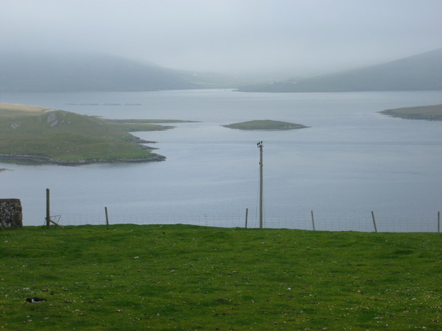
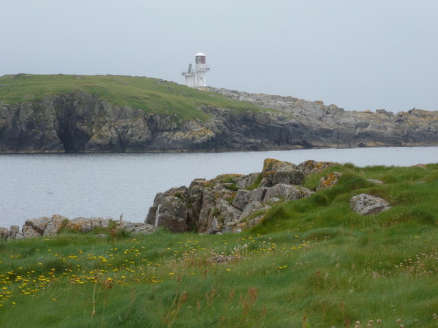
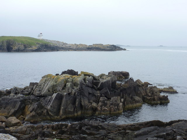
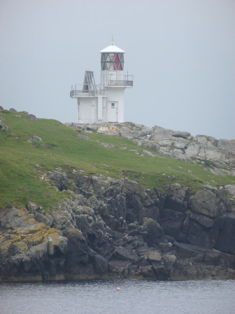
Biargar is a prominent headland located on the coast of Shetland, an archipelago in northern Scotland. Situated at the northernmost point of the mainland, this coastal feature offers breathtaking views of the surrounding North Sea. Biargar is known for its rugged cliffs, which rise steeply from the sea, reaching heights of up to 100 meters. These cliffs are composed of ancient rock formations, displaying a variety of colors and textures that add to the area's natural beauty.
The headland is characterized by its distinct shape, jutting out into the ocean and forming a pointed tip known as Biargar Point. This geographical feature provides a strategic viewpoint, overlooking the surrounding waters and offering a vantage point for observing marine wildlife such as seals, dolphins, and various seabirds. The area is particularly renowned for its birdwatching opportunities, with species such as puffins, gannets, and guillemots frequently spotted along the cliffs.
Biargar is also rich in history, with evidence of human settlement dating back thousands of years. Archaeological remains, including ancient structures and artifacts, have been discovered in the vicinity, providing insights into the lives of early inhabitants. The headland's strategic location likely made it an important site for trade and defense throughout history.
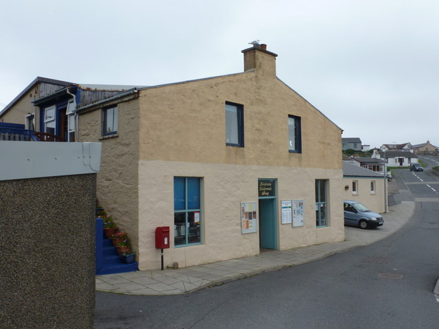
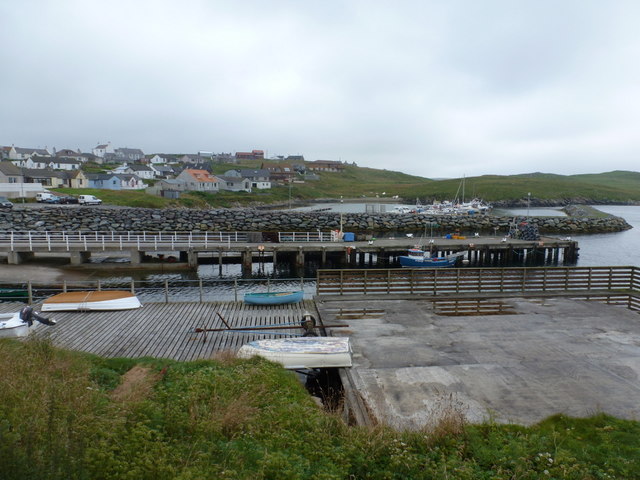
Today, Biargar attracts visitors from both near and far who come to marvel at its natural beauty and explore its historical significance. The area offers various walking trails along the coastline, allowing visitors to experience the dramatic cliffs and enjoy panoramic views of the sea. Additionally, the nearby village of Biargar provides amenities for tourists, including accommodations, dining options, and opportunities to learn about the local culture and heritage.
If you have any feedback on the listing, please let us know in the comments section below.
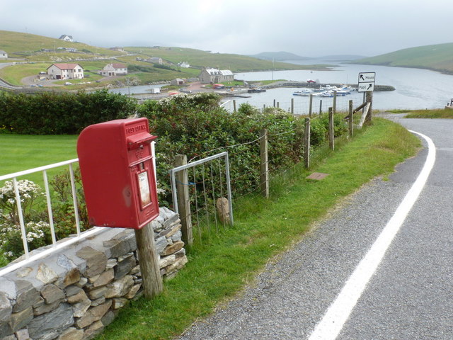
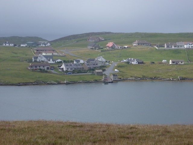
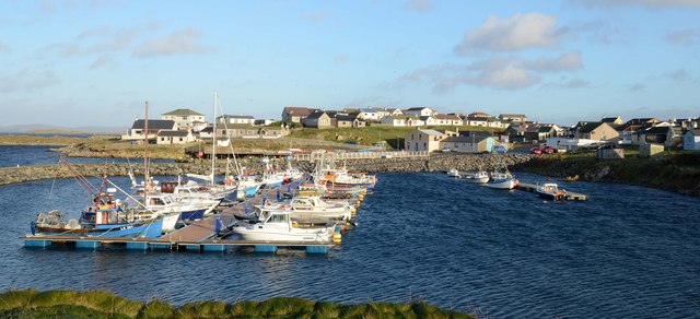
Biargar Images
Images are sourced within 2km of 60.09982/-1.3402556 or Grid Reference HU3635. Thanks to Geograph Open Source API. All images are credited.


Biargar is located at Grid Ref: HU3635 (Lat: 60.09982, Lng: -1.3402556)
Unitary Authority: Shetland Islands
Police Authority: Highlands and Islands
What 3 Words
///lake.superbly.slice. Near Scalloway, Shetland Islands
Nearby Locations
Related Wikis

Scalloway Islands
The Scalloway Islands are in Shetland opposite Scalloway on south west of the Mainland. They form a mini-archipelago and include: Burra (two islands linked...
East Burra
East Burra (Scots: East Burra; Old Norse: "Barrey") is one of the Scalloway Islands, a subgroup of the Shetland Islands in Scotland. It is connected by...

Papa, Shetland
Papa (Scots: Papa; Old Norse: Papey, meaning "the island of the priests") is an uninhabited island in the Scalloway Islands, Shetland, Scotland. Papa lies...

Oxna
Oxna is one of the Scalloway Islands, lying north west of Burra in Shetland, Scotland. Oxna has an area of 68 hectares (170 acres). The island has been...

Burra, Shetland
Burra (Old Norse: Barrey ) is the collective name for two of the Shetland Islands, West (pop. 753) and East Burra (pop. 66), which are connected by bridge...

West Burra
West Burra is one of the Scalloway Islands, a subgroup of the Shetland Islands in Scotland. It is connected by bridge to East Burra. With an area of 743...
West Head of Papa
West Head of Papa is a small tidal island off Papa in Shetland, and is one of the Scalloway Islands. It is 21m at its highest point. East Head of Papa...
Green Holm
Green Holm, (HU382379), is a small uninhabited island 500 metres north of Burra Ness at the north end of the island of Burra and on the west side of the...
Nearby Amenities
Located within 500m of 60.09982,-1.3402556Have you been to Biargar?
Leave your review of Biargar below (or comments, questions and feedback).