Beacon Point
Coastal Feature, Headland, Point in Northumberland
England
Beacon Point
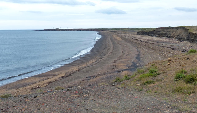
Beacon Point is a prominent headland located on the Northumberland coastline in northeastern England. Situated near the village of Bamburgh, this coastal feature is known for its rugged beauty and historical significance.
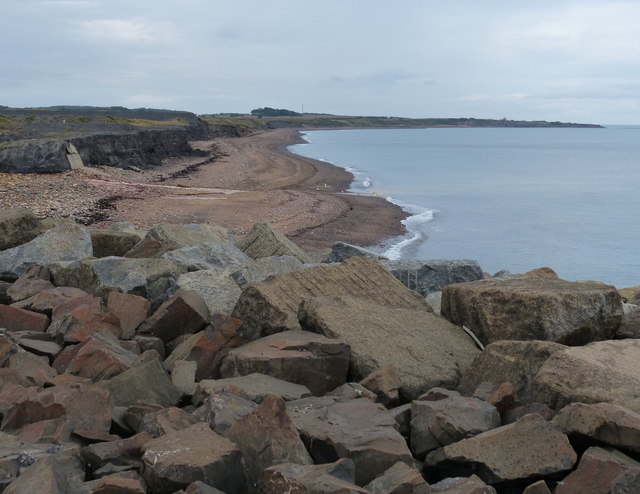
Rising approximately 30 meters above the North Sea, Beacon Point offers breathtaking panoramic views of the surrounding landscape. The headland is characterized by steep cliffs composed of sandstone and limestone, which have been shaped by centuries of erosion caused by wind and waves. These cliffs provide a habitat for various bird species, including seabirds such as puffins and razorbills.
The name "Beacon Point" derives from the fact that it was historically used as a signaling point, where beacons were lit to warn ships of the treacherous coastline. This function was particularly important during the medieval period when Northumberland was frequently raided by Viking invaders.
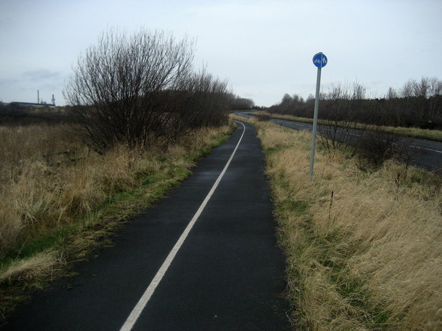
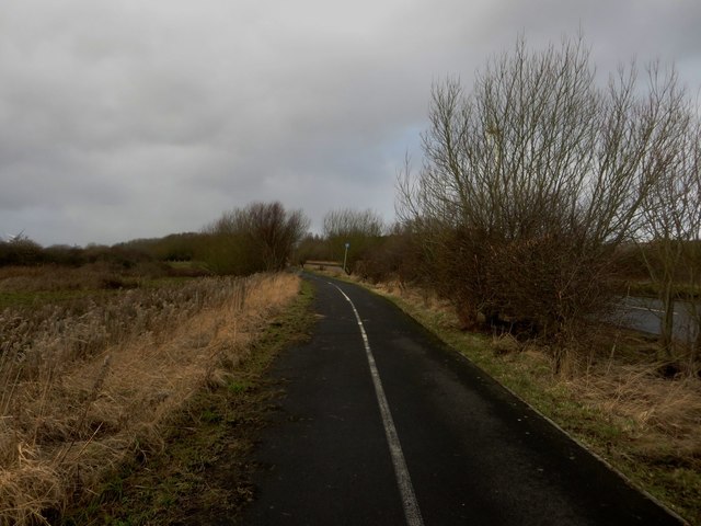
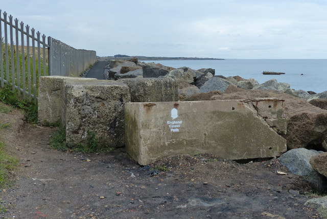
In addition to its historical significance, Beacon Point is a popular destination for outdoor enthusiasts and nature lovers. The headland is accessible via a coastal path, which provides an opportunity for visitors to explore the area on foot and appreciate its natural beauty up close. The surrounding waters are also popular for activities such as fishing and boating.
Overall, Beacon Point is a remarkable coastal feature that combines historical significance with natural beauty. Its picturesque cliffs, stunning views, and rich heritage make it a must-visit destination for anyone exploring the Northumberland coastline.
If you have any feedback on the listing, please let us know in the comments section below.
Beacon Point Images
Images are sourced within 2km of 55.197041/-1.5043717 or Grid Reference NZ3189. Thanks to Geograph Open Source API. All images are credited.


Beacon Point is located at Grid Ref: NZ3189 (Lat: 55.197041, Lng: -1.5043717)
Unitary Authority: Northumberland
Police Authority: Northumbria
What 3 Words
///oiled.rested.bitter. Near Newbiggin-by-the-Sea, Northumberland
Nearby Locations
Related Wikis

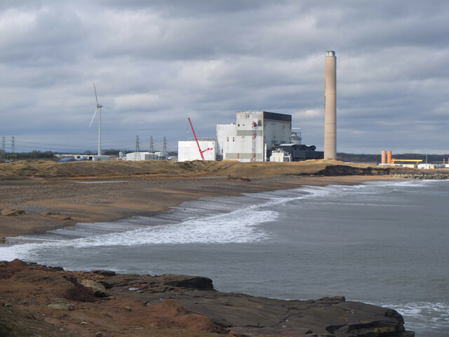
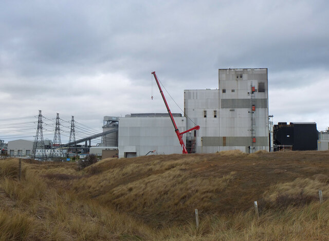
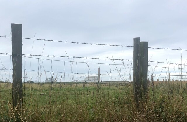
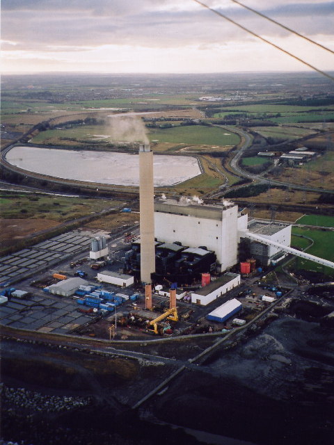
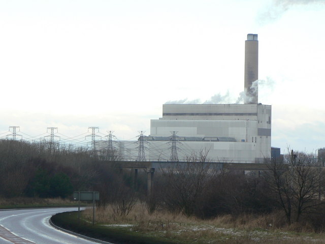
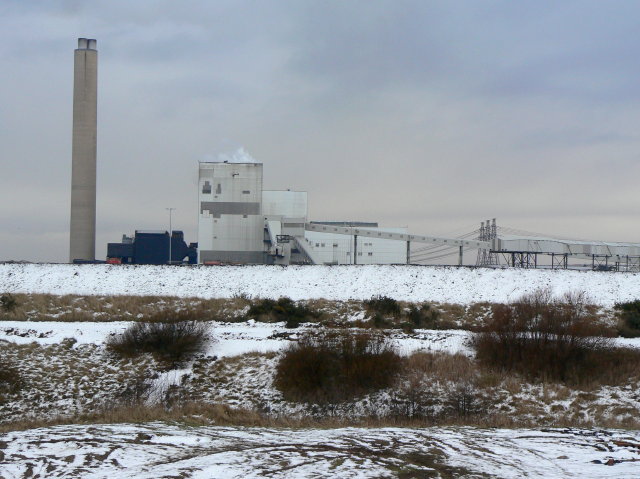
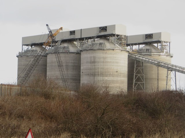
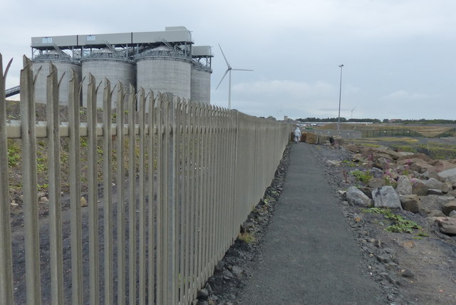
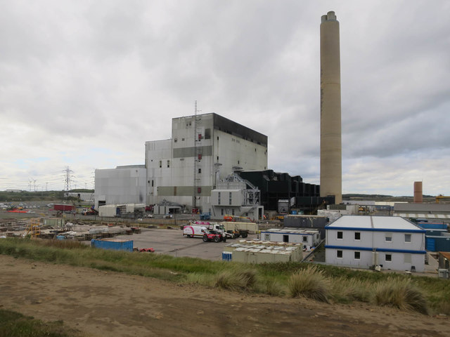
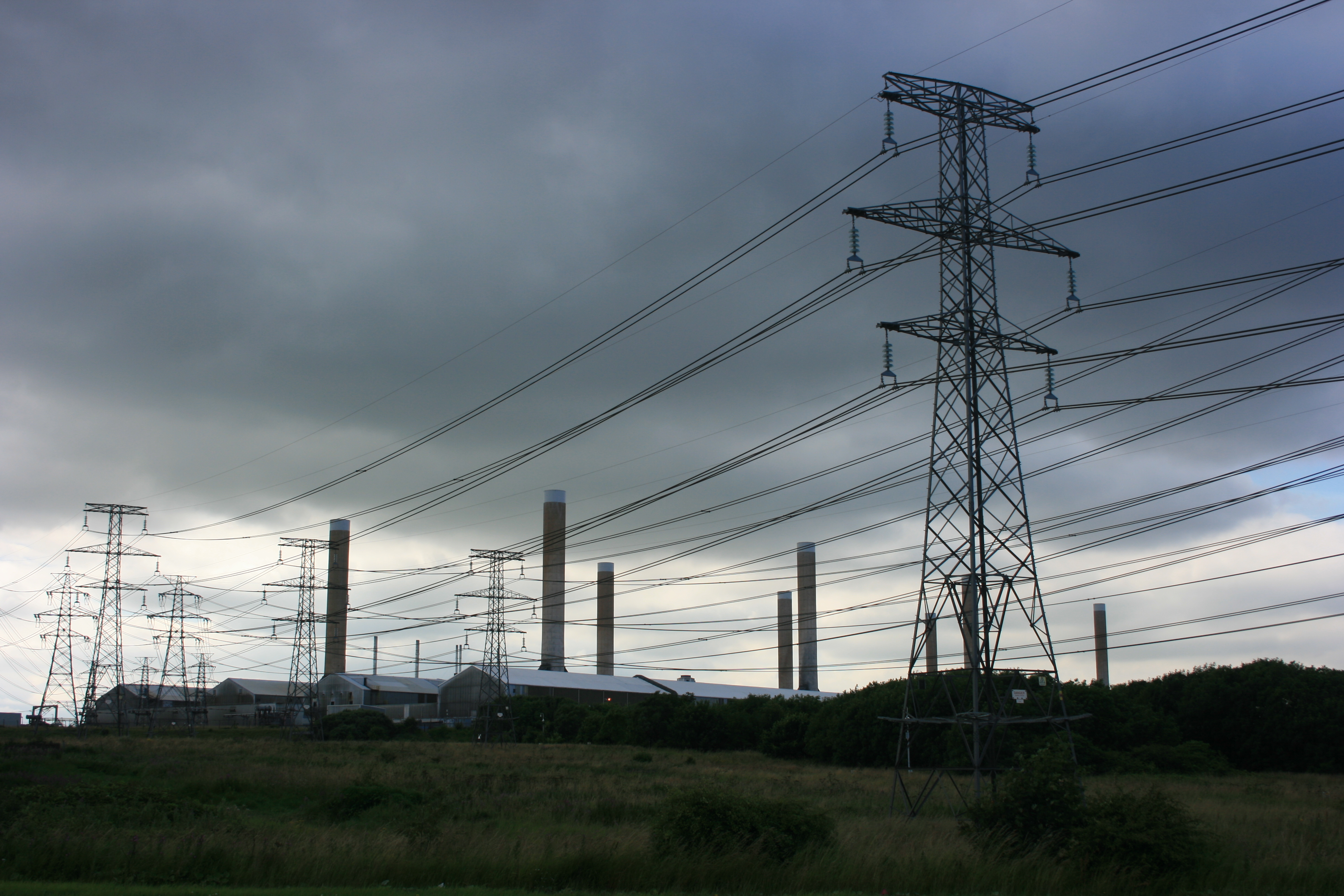
Lynemouth power station
Lynemouth Power Station is a biomass power plant which provides electricity for the UK National Grid. Until March 2012, it was the main source of electricity...

St Bartholomew's Church, Newbiggin-by-the-Sea
St Bartholomew's Church, Newbiggin-by-the-sea is the parish church of Newbiggin-by-the-Sea, Tyne and Wear, England. The building is part of the Diocese...
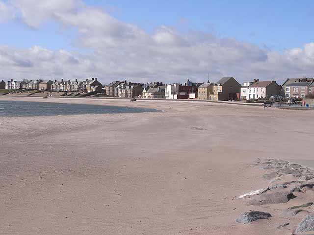
Newbiggin-by-the-Sea
Newbiggin-by-the-Sea is a seaside town and civil parish in Northumberland, England, located on the North Sea coast. The town is a fishing port and formerly...

Newbiggin-by-the-Sea railway station
Newbiggin-by-the-Sea railway station, also referred to as Newbiggin station, served the town of Newbiggin-by-the-Sea, Northumberland, England from 1872...
Alcan Lynemouth Aluminium Smelter
The Alcan Lynemouth Aluminium Smelter was an industrial facility near Ashington, Northumberland, on the coast of North East England, 0.65 mi (1.05 km)...
Lynemouth Colliery
Lynemouth Colliery was a coal mine in Lynemouth, Northumberland, England. It was in operation between 1927 and 1994. According to Historic England, "it...

Woodhorn
Woodhorn is a village and former civil parish, now in the parish of Newbiggin by the Sea, in Northumberland, England, about 2 miles (3 km) east of Ashington...

Wansbeck General Hospital
Wansbeck General Hospital is a district general hospital based in Ashington, Northumberland, England. It is managed by Northumbria Healthcare NHS Foundation...
Nearby Amenities
Located within 500m of 55.197041,-1.5043717Have you been to Beacon Point?
Leave your review of Beacon Point below (or comments, questions and feedback).