Aultivullin

Settlement in Sutherland

Scotland

Aultivullin

Totegan Remote hamlet on the far north coast of Scotland
Totegan Credit: Peter Moore

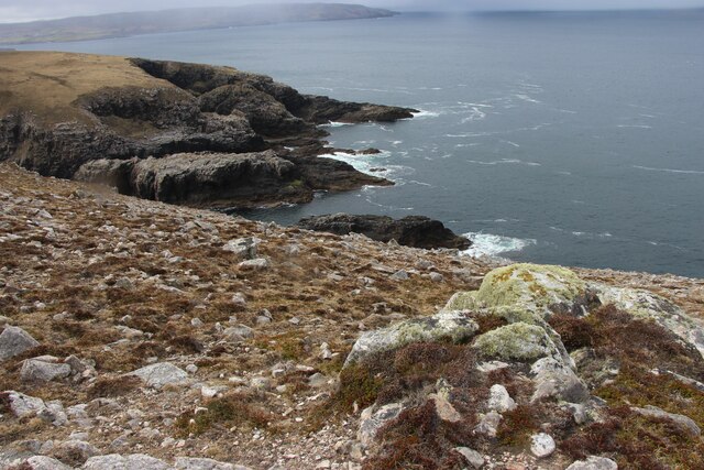
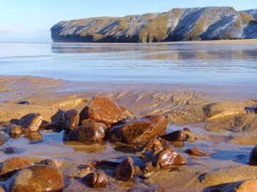
Aultivullin is a small village located in the northwestern part of Sutherland, a county in the Highland region of Scotland. Situated on the eastern shore of Loch Eriboll, Aultivullin offers stunning views of the surrounding rugged landscape and the tranquil waters of the loch.

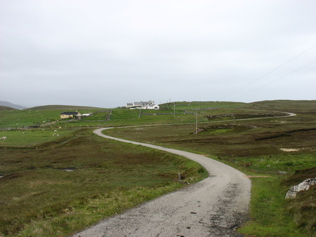
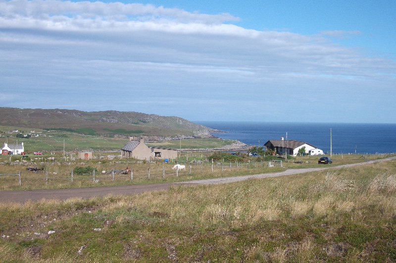
With a population of around 100 residents, Aultivullin is a close-knit community that thrives on its peaceful and secluded setting. The village is primarily residential, with a few scattered cottages and houses dotting the landscape. The traditional stone architecture adds to the charm and character of the area.

One of the main attractions in Aultivullin is the Loch Eriboll Hotel, a historic establishment that has been serving locals and visitors alike for many years. The hotel provides accommodation, dining, and a cozy bar where patrons can relax and enjoy the warm hospitality of the area.

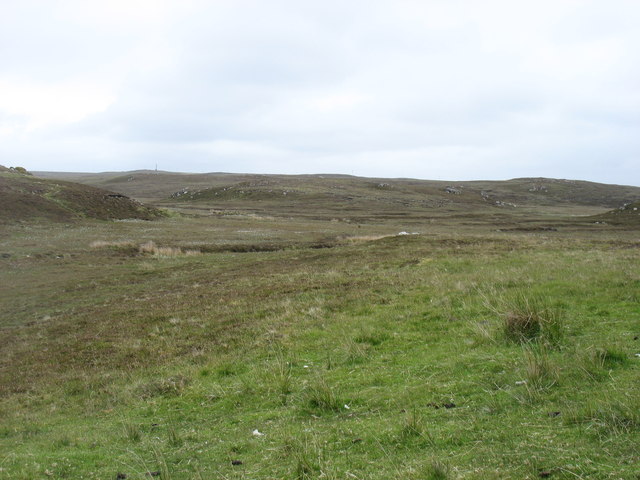
Nature enthusiasts will find plenty to explore around Aultivullin. The Loch Eriboll itself is a haven for fishing enthusiasts, with abundant stocks of trout and salmon. The surrounding hills and moorlands offer excellent opportunities for hiking and birdwatching, with various species of birds and wildlife inhabiting the area.

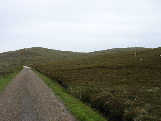
Despite its remote location, Aultivullin is well-connected to nearby towns and villages through a network of roads. The village is approximately 20 miles from the town of Tongue, where further amenities such as shops, schools, and medical facilities can be found.

In summary, Aultivullin is a picturesque village in Sutherland, Scotland, offering breathtaking scenery, a tight-knit community, and opportunities for outdoor activities. It is a hidden gem for those seeking tranquility and natural beauty in the Scottish Highlands.

If you have any feedback on the listing, please let us know in the comments section below.
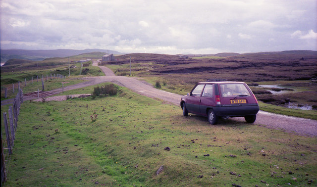
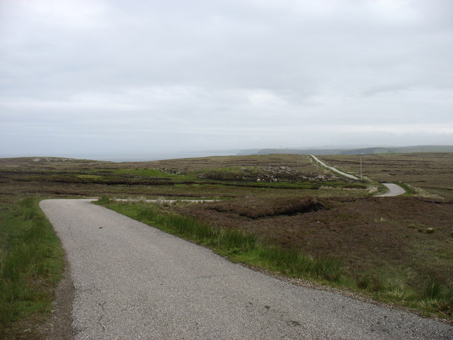
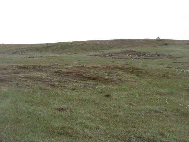
Aultivullin Images

Images are sourced within 2km of 58.583114/-4.037504 or Grid Reference NC8167. Thanks to Geograph Open Source API. All images are credited.

Totegan Remote hamlet on the far north coast of Scotland
Totegan
Remote hamlet on the far north coast of Scotland
Rock arch and Uamh Mhòr, Strathy Point It's quite difficult to get a decent image of Uamh Mhòr (the Big Cave) for a couple of reasons. Firstly the contrast between the darkness of the cave and the bright sea is a challenge for the camera's metering system and secondly, the only direct view into the cave is from the sea in what is usually a very choppy gully!
Rock arch and Uamh Mhòr, Strathy Point
It's quite difficult to get a decent image of Uamh Mhòr (the Big Cave) for a couple of reasons. Firstly the contrast between the darkness of the cave and the bright sea is a challenge for the camera's metering system and secondly, the only direct view into the cave is from the sea in what is usually a very choppy gully!
Strathy Point The view is across the mouth of the channel which terminates in Uamh Mhor. Given a larger image, it is possible to see the headlands on Clo Mor, Faraid Head, Whitten Head and Rabbit Island along the north coast.
Strathy Point
The view is across the mouth of the channel which terminates in Uamh Mhor. Given a larger image, it is possible to see the headlands on Clo Mor, Faraid Head, Whitten Head and Rabbit Island along the north coast.
Crashing Wave Taken on the west coast of Strathy Point a kilometre or so south of the lighthouse.
Crashing Wave
Taken on the west coast of Strathy Point a kilometre or so south of the lighthouse.
The road back from Strathy Point
Minor hills near Strathy Point
The lane to Aultivullin Looking back towards the Strathy Point road. This is not a lane on which you would wish to meet other traffic, as passing places are few and far between.
The lane to Aultivullin
Looking back towards the Strathy Point road. This is not a lane on which you would wish to meet other traffic, as passing places are few and far between.
Aultivullin, Strathy Point This small complex of cottages offers self-catering accommodation. Supplies are some distance away!
Aultivullin, Strathy Point
This small complex of cottages offers self-catering accommodation. Supplies are some distance away!
Hillside above Aultivullin Not very exciting country, but typical of the square.
Hillside above Aultivullin
Not very exciting country, but typical of the square.
Rough country near Strathy Point
Cnoc Glas, 108m, above Brawl The cairn on Cnoc Dubh, 115m, is just visible to the right of the photo.
Cnoc Glas, 108m, above Brawl
The cairn on Cnoc Dubh, 115m, is just visible to the right of the photo.
Geodh' a' Chnuic Ghlais Inlet on the Pentland Firth
Geodh' a' Chnuic Ghlais
Inlet on the Pentland Firth
Fenceline at the edge of the cliffs on Geodh' a' Chnuic Ghlais
Port Allt 'a Mhuilinn
Hilltop cairn at Aultivulinn
Looking south-west from Strathy Point
Natural Arch near Strathy Point
Strathy Point lighthouse The lighthouse was erected in 1958 and automated in 1997.
Strathy Point lighthouse
The lighthouse was erected in 1958 and automated in 1997.
Show me another place!

Aultivullin is located at Grid Ref: NC8167 (Lat: 58.583114, Lng: -4.037504)

Unitary Authority: Highland

Police Authority: Highlands and Islands

What 3 Words

///commented.summaries.runners. Near Reay, Highland

Nearby Locations

Cnoc Caol Aultivullin

Related Wikis

Totegan

Totegan is a hamlet in Sutherland, Scotland and is one of the most northerly settlements in mainland Scotland. The nearest main road to the hamlet is the...

Aultiphurst

Aultiphurst (Scottish Gaelic: Allt a' Phuirt), in Strathy, Sutherland, is a village in the Scottish HighlandsThe name Aultiphurst is a misspelling of Allt...

Lednagullin

Lednagullin is a village on the south east shore of Armadale Bay in Sutherland, Scottish Highlands and is in the Scottish council area of Highland....

Strathy

Strathy (from Scottish Gaelic Srathaidh 'place of the strath') is a scattered community in Sutherland in the Scottish Highlands. The settlement emerged...

Nearby Amenities

Located within 500m of 58.583114,-4.037504
Created By: almien_coastlines
Source: PGS
Lat/Long: 58.586232/-4.043584
Source: PGS
Lat/Long: 58.585985/-4.043331
Source: PGS
Lat/Long: 58.5857675/-4.0430542
Source: PGS
Lat/Long: 58.5852703/-4.0428004
Source: PGS
Lat/Long: 58.5850964/-4.0431083
Source: PGS
Lat/Long: 58.5850864/-4.0436711
Source: PGS
Lat/Long: 58.5846177/-4.0436968
Source: PGS
Lat/Long: 58.5839288/-4.0437295
Source: PGS
Lat/Long: 58.5837557/-4.0436437
Source: PGS
Lat/Long: 58.5834758/-4.0440836
Source: PGS
Lat/Long: 58.5827815/-4.0437236
Source: PGS
Lat/Long: 58.58256/-4.0433674
Source: PGS
Lat/Long: 58.5821098/-4.0432918
Source: PGS
Lat/Long: 58.5824216/-4.0444714
Source: PGS
Lat/Long: 58.5827555/-4.0447123
Source: PGS
Lat/Long: 58.5837875/-4.0452144
Source: PGS
Lat/Long: 58.5833499/-4.0457112
Aultivullin House Annexe
Addr Street: Aultivullin road
Tourism: chalet
Lat/Long: 58.5826404/-4.038508
Aultivullin
Name Gd: Allt a' Mhuilinn
Place: hamlet
Lat/Long: 58.582275/-4.0372773
Power: pole
Lat/Long: 58.5828668/-4.0387274
Power: pole
Lat/Long: 58.5828529/-4.037921
Power: pole
Lat/Long: 58.5828435/-4.0371714
Power: pole
Lat/Long: 58.5828391/-4.0368721
Power: pole
Lat/Long: 58.5828013/-4.035793
Power: pole
Lat/Long: 58.5827391/-4.0339546
Power: pole
Lat/Long: 58.5826736/-4.0321536
Power: pole
Lat/Long: 58.5826245/-4.0306882
Power: pole
Lat/Long: 58.5825666/-4.0292071
The data included in this document is from www.openstreetmap.org. The data is made available under ODbL.

Have you been to Aultivullin?

Leave your review of Aultivullin below (or comments, questions and feedback).