Ness of Noonsbrough
Coastal Feature, Headland, Point in Shetland
Scotland
Ness of Noonsbrough
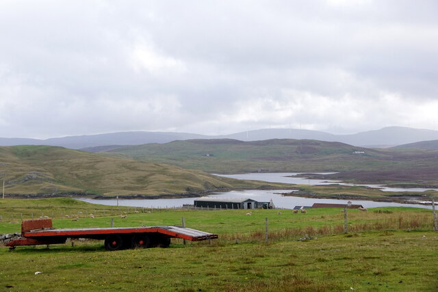
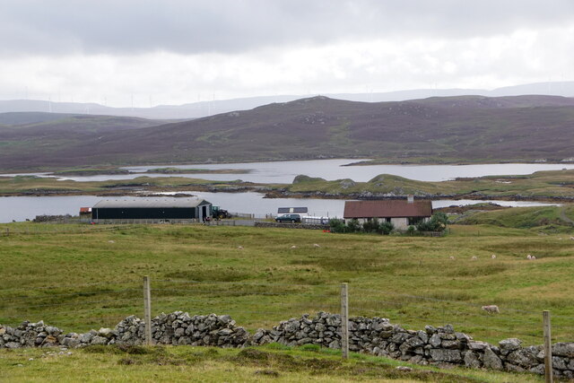
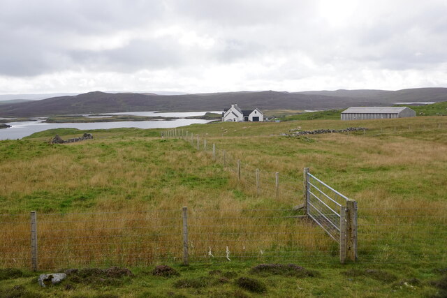
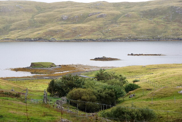
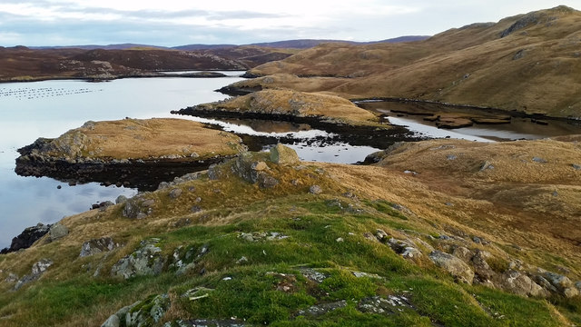
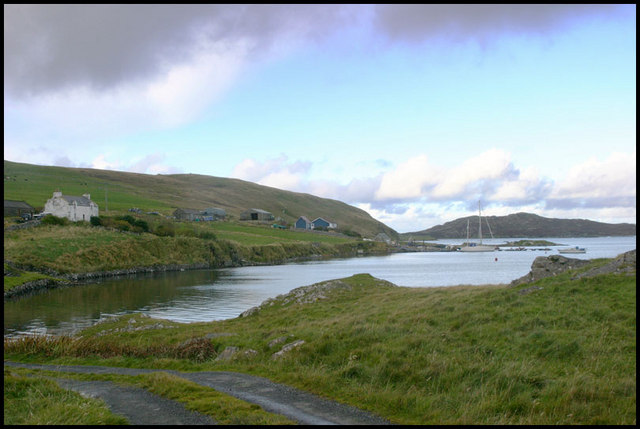
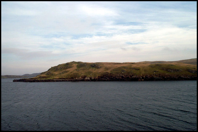
Ness of Noonsbrough is a prominent coastal feature located in the Shetland Islands, off the northeastern coast of Scotland. It is a headland or point that juts out into the North Sea, offering stunning views and natural beauty.
The headland is characterized by rugged cliffs that rise dramatically from the sea, reaching heights of around 50 meters (164 feet). These cliffs are composed of layers of sedimentary rock, showcasing the geological history of the area. Ness of Noonsbrough is also home to several sea caves, which have been carved out by the relentless force of the waves over thousands of years.
The headland is a popular spot for birdwatchers, as it provides an ideal habitat for a variety of seabirds. Visitors can spot species such as puffins, guillemots, razorbills, and fulmars nesting on the cliffs or soaring above the sea. The surrounding waters are also rich in marine life, making it a great location for fishing and diving enthusiasts.
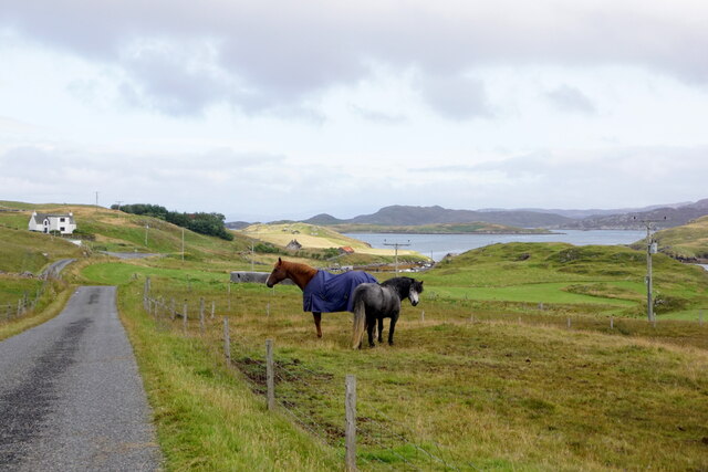
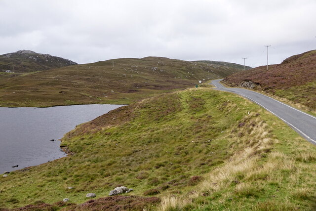
Ness of Noonsbrough is easily accessible by road, with a small parking area nearby. From there, visitors can explore the headland on foot along well-maintained trails that offer breathtaking panoramic views of the sea and the surrounding coastline. The area is also a starting point for several coastal walks, providing access to other stunning locations in the Shetland Islands.
Overall, Ness of Noonsbrough is a captivating coastal feature, attracting nature lovers, photographers, and outdoor enthusiasts alike with its dramatic cliffs, diverse birdlife, and picturesque views.
If you have any feedback on the listing, please let us know in the comments section below.
Ness of Noonsbrough Images
Images are sourced within 2km of 60.29824/-1.4755839 or Grid Reference HU2957. Thanks to Geograph Open Source API. All images are credited.


Ness of Noonsbrough is located at Grid Ref: HU2957 (Lat: 60.29824, Lng: -1.4755839)
Unitary Authority: Shetland Islands
Police Authority: Highlands and Islands
What 3 Words
///aimed.rents.things. Near Aith, Shetland Islands
Nearby Locations
Related Wikis

Brindister, West Mainland
Brindister is a settlement on the West Mainland of Shetland, Scotland. It is within the parish of Sandsting, and on the western shore of Brindister Voe...

Clousta
Clousta is a hamlet on Mainaland, in the island's west, Shetland, Scotland. Approximately seventy people live here, many of whom are commuters, but local...

Broch of West Burrafirth
The Broch of West Burrafirth is an Iron Age broch located on the west side of Mainland, Shetland (grid reference HU25625720). == Location == The broch...

Vementry
Vementry (Old Norse: "Vemunðarey") is an uninhabited Scottish island in Shetland on the north side of the West Mainland, lying south of Muckle Roe. �...

Linga (near Vementry)
Linga is one of the Shetland Islands, near Vementry. It is one of many islands in Shetland called Linga. The island is uninhabited. == Geography and... ==

Braewick, Sandsting
Braewick is a settlement on the west Mainland of Shetland, Scotland. Braewick is on the western shore of Aith Voe and 1.2 mi (2 km) north of Aith itself...
Park Hall, Shetland
Park Hall is a derelict laird's house situated west of the village of Bixter, in the parish of Sandsting on the Mainland of Shetland, Scotland. It has...
Twatt, Shetland
Twatt is a settlement in the Shetland Islands of Scotland. It is located on the Shetland Mainland on a minor road that leads from the A971 road to Clousta...
Have you been to Ness of Noonsbrough?
Leave your review of Ness of Noonsbrough below (or comments, questions and feedback).