Ness of Gruting
Coastal Feature, Headland, Point in Shetland
Scotland
Ness of Gruting

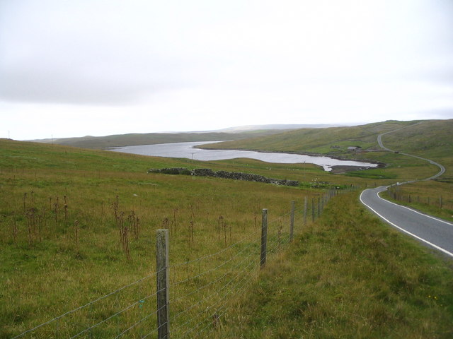
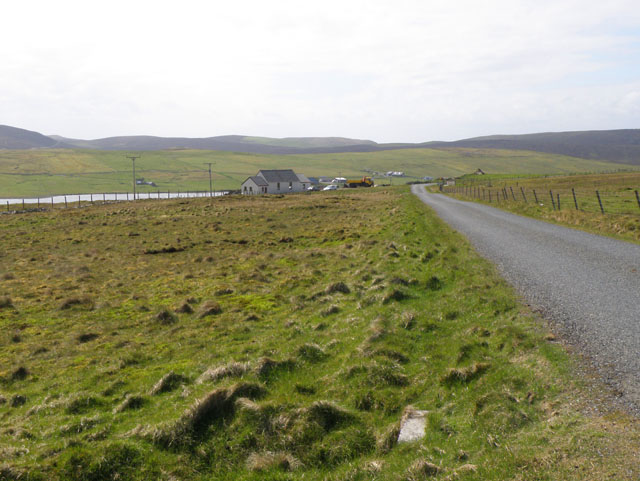
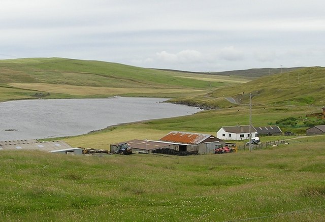
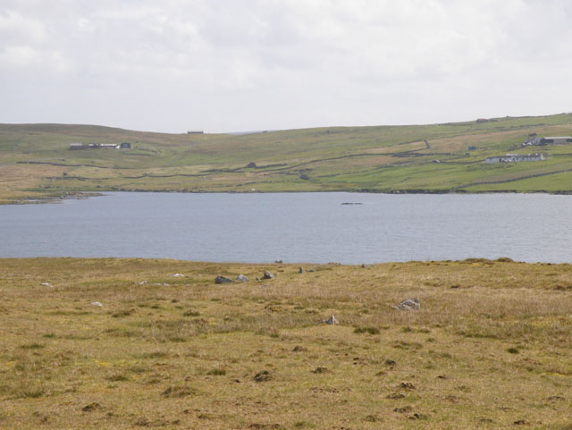
Ness of Gruting is a prominent coastal feature located in the Shetland Islands, which are part of Scotland. This headland, also referred to as a point, is situated on the west coast of the island of Yell, the second-largest island in the Shetland archipelago. Nestled between the villages of Burravoe and Otterswick, Ness of Gruting juts out into the North Atlantic Ocean, marking the westernmost point of Yell.
The headland is characterized by its rugged and dramatic landscape, with steep cliffs that rise approximately 50 meters (165 feet) above sea level. The cliffs are formed from layers of sedimentary rock, showcasing various hues of gray and brown. The exposed rocks bear the marks of weathering and erosion, adding to the area's unique charm.
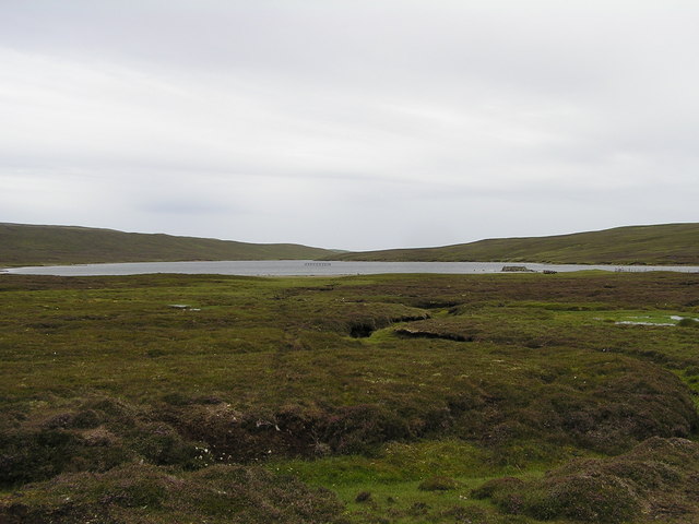
Ness of Gruting offers breathtaking panoramic views of the surrounding coastline and the vast expanse of the Atlantic Ocean. Its strategic location also makes it an ideal spot for observing marine wildlife, such as seals, dolphins, and various seabird species like puffins and gannets.
The headland is easily accessible via a coastal path, which provides an opportunity for visitors to explore the area on foot. Along the way, visitors can admire the diverse plant life that thrives in this coastal habitat, including heather, thrift, and sea campion.
Ness of Gruting is not only a picturesque coastal feature but also a place of historical significance, with archaeological remains indicating human occupation dating back thousands of years. The site offers a glimpse into the rich cultural heritage of the Shetland Islands and serves as a reminder of the timeless connection between people and the sea.
If you have any feedback on the listing, please let us know in the comments section below.
Ness of Gruting Images
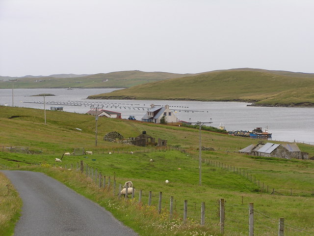
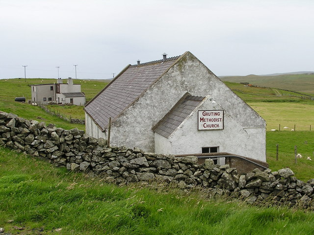
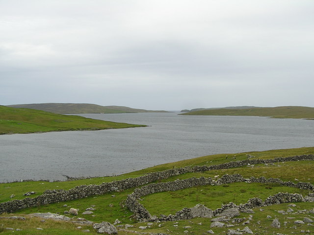
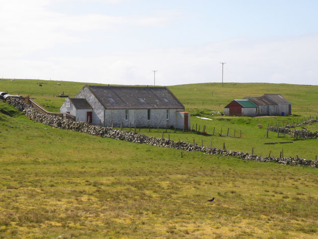
Images are sourced within 2km of 60.216041/-1.5041456 or Grid Reference HU2748. Thanks to Geograph Open Source API. All images are credited.


Ness of Gruting is located at Grid Ref: HU2748 (Lat: 60.216041, Lng: -1.5041456)
Unitary Authority: Shetland Islands
Police Authority: Highlands and Islands
What 3 Words
///clash.explains.unclaimed. Near Walls, Shetland Islands
Nearby Locations
Related Wikis
Gruting
Gruting is a hamlet on the island of Mainland, Shetland in Scotland. It is about 1 kilometre (0.62 mi) southwest of the archaeological site of Stanydale...

Stanydale Temple
Stanydale Temple is a Neolithic site on Mainland, Shetland, Scotland. It is located in a field to the south of the modern village of Stanydale, roughly...
Browland
Browland is a village on Mainland in Shetland, Scotland situated about 1.9 miles (3 km) east north east of Walls. Browland is within the parish of Sandsting...

Stanydale
Stanydale is a hamlet on the island of Mainland, Shetland, Scotland. The archaeological site of Stanydale Temple is less than 0.5 miles (0.80 km) to...
Have you been to Ness of Gruting?
Leave your review of Ness of Gruting below (or comments, questions and feedback).