Ness of Melby
Coastal Feature, Headland, Point in Shetland
Scotland
Ness of Melby
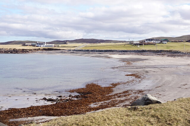
Ness of Melby is a prominent coastal feature located in the Shetland Islands, an archipelago in Scotland. It is a headland or point that juts out into the North Sea, offering stunning views of the surrounding landscape.
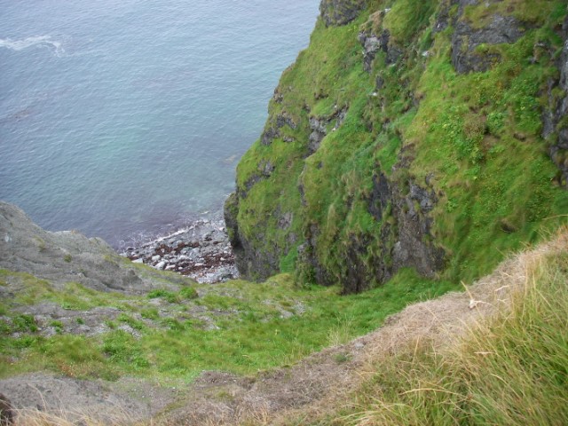
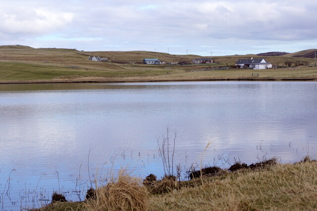
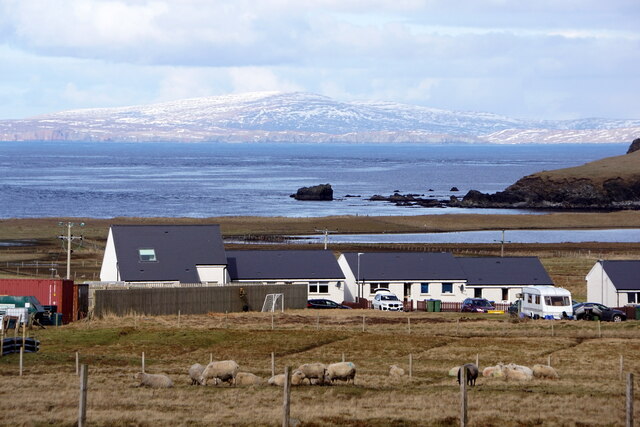
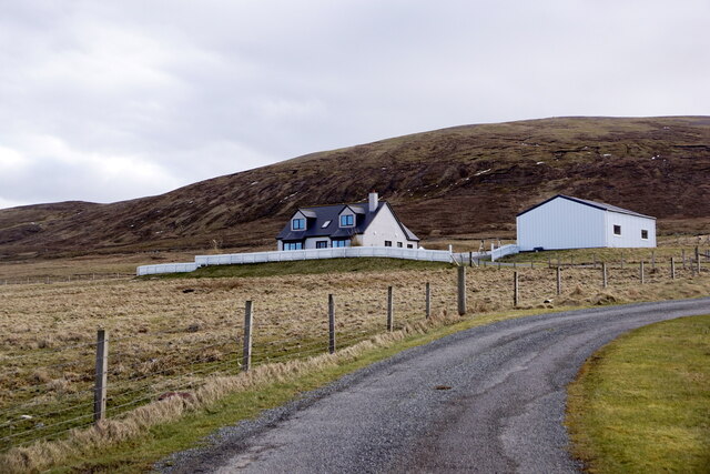
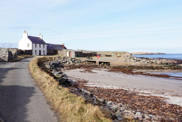
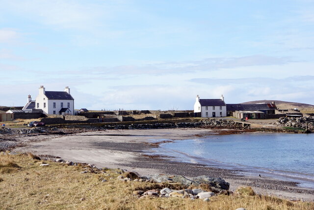
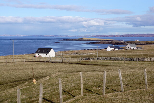
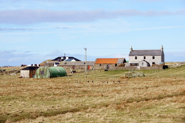
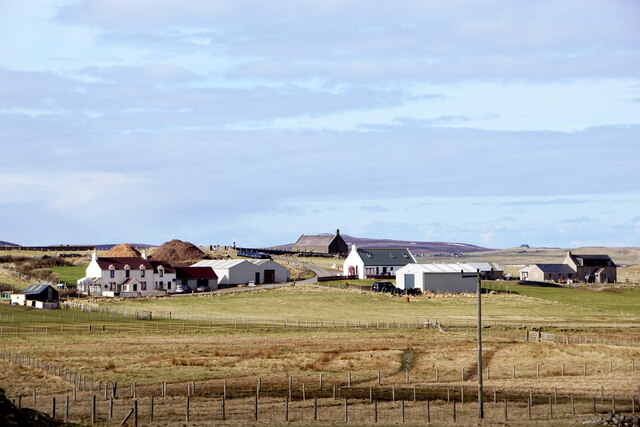
Situated in the northwestern part of the main island, known as Mainland, Ness of Melby is characterized by its rugged cliffs and rocky shoreline. The headland is composed of ancient volcanic rocks, providing a unique geological formation that attracts both geology enthusiasts and nature lovers.
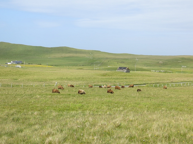
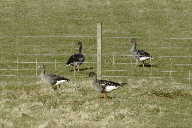
The area surrounding Ness of Melby is rich in wildlife, with numerous seabirds nesting on the cliffs, including puffins, gannets, and fulmars. Visitors can observe these fascinating creatures in their natural habitat, often accompanied by the sound of crashing waves. The headland is also a popular spot for spotting seals and other marine mammals along the coastline.
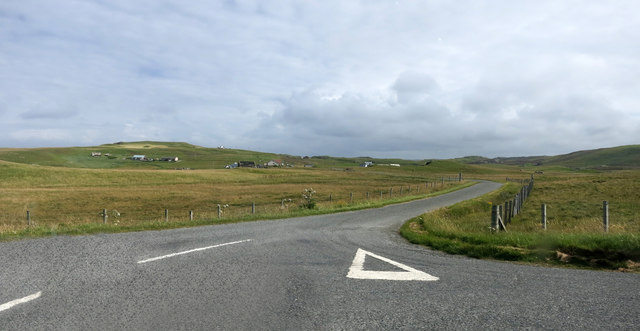
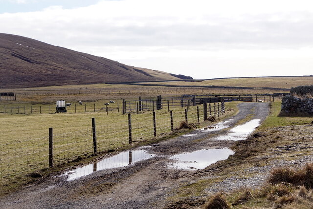
Ness of Melby offers several walking trails, allowing visitors to explore the headland and its surroundings. These trails provide an opportunity to admire the dramatic sea views, spot wildlife, and appreciate the raw, untouched beauty of the Shetland Islands.
In addition to its natural beauty, Ness of Melby has historical significance. It is believed to have been inhabited since ancient times, and archaeological remains have been found in the vicinity. The headland is also home to a lighthouse, which was built in the mid-19th century to guide ships navigating the treacherous waters of the North Sea.
Overall, Ness of Melby is a captivating coastal feature that combines breathtaking natural scenery, abundant wildlife, and a touch of history, making it a must-visit destination for anyone exploring the Shetland Islands.
If you have any feedback on the listing, please let us know in the comments section below.
Ness of Melby Images
Images are sourced within 2km of 60.305083/-1.6651814 or Grid Reference HU1857. Thanks to Geograph Open Source API. All images are credited.


Ness of Melby is located at Grid Ref: HU1857 (Lat: 60.305083, Lng: -1.6651814)
Unitary Authority: Shetland Islands
Police Authority: Highlands and Islands
What 3 Words
///line.refreshed.rectangular. Near Walls, Shetland Islands
Nearby Locations
Related Wikis

Sandness
Sandness (the "d" is not pronounced locally) is a headland and district in the west of Shetland Mainland, Scotland. Sandness was a civil parish, which...

Forewick Holm
Forewick Holm is a 1-hectare (2.5-acre) island in the Sound of Papa in the Shetland islands, Scotland. Located between Papa Stour and the Sandness peninsula...

Papa Stour Airstrip
Papa Stour Airstrip is a small airstrip in the village of Biggings on the island of Papa Stour. Shetland, Scotland. == History == Papa Stour Airstrip opened...

Biggings
Biggings is a village on the island of Papa Stour, in Shetland, Scotland. Papa Stour's church is situated at the south of Biggings. A homestead of Duke...
Brei Holm
Brei Holm is a tiny tidal islet in the western Shetland Islands. It is due east of Papa Stour, to which it is connected at low tide, just outside Housa...
Maiden Stack
The Maiden Stack or Frau Stack is a tiny stack in the western Shetland Islands to the north of Brei Holm and east of Housa Voe in Papa Stour. It is so...

Bousta
Bousta is a settlement on Mainland, in Shetland, Scotland. Bousta is situated in the parish of Walls and Sandness.Scott's Hawkweed is native to the pastures...
Papa Stour
Papa Stour (Scots: Papa Stour) is one of the Shetland Islands in Scotland, with a population of under fifteen people, some of whom immigrated after an...
Nearby Amenities
Located within 500m of 60.305083,-1.6651814Have you been to Ness of Melby?
Leave your review of Ness of Melby below (or comments, questions and feedback).