Bowduns
Coastal Feature, Headland, Point in Kincardineshire
Scotland
Bowduns
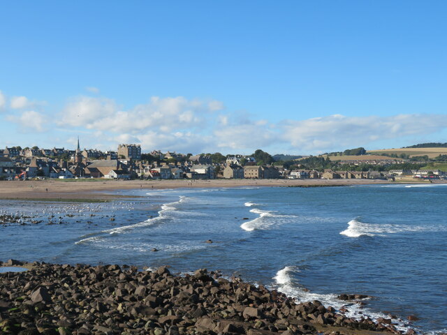
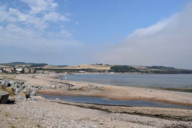
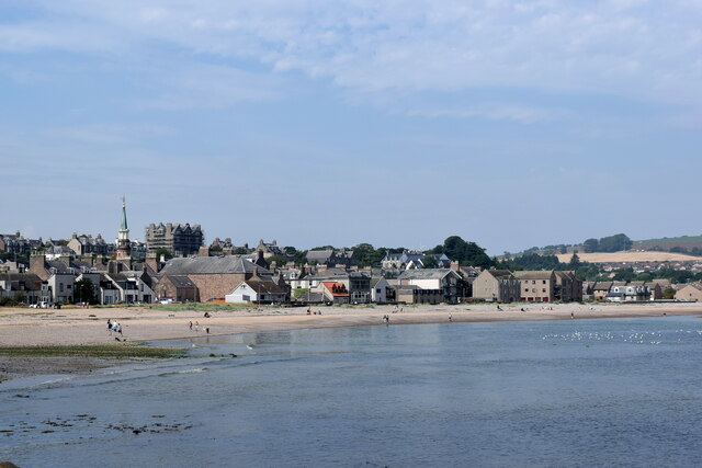
Bowduns is a prominent coastal feature located in Kincardineshire, Scotland. It is known for its stunning headland and point, which provide breathtaking views of the surrounding landscape and the North Sea.
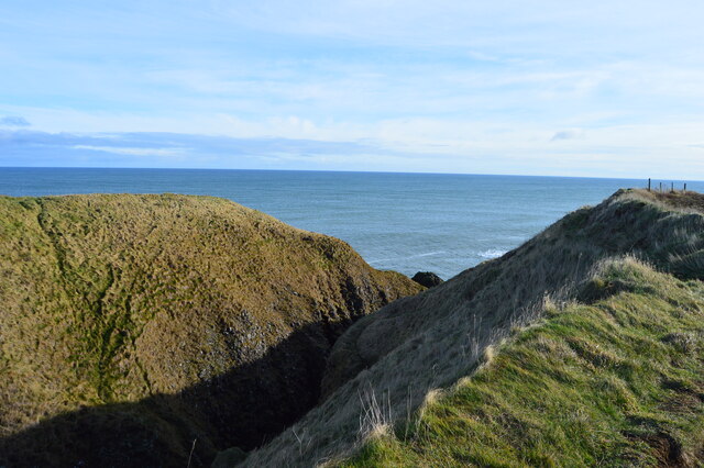
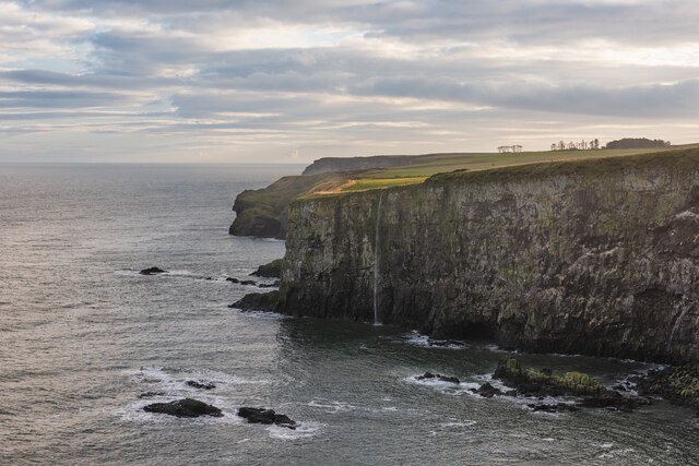
The headland of Bowduns juts out into the sea, forming a distinct and rugged cliff face that reaches a height of approximately 50 meters. This geological formation is composed of layers of sedimentary rocks, including sandstone and shale, which have been shaped by the erosive forces of the ocean over millions of years. The cliffs of Bowduns are a striking feature of the area's coastline and are a popular destination for nature enthusiasts and photographers.
At the tip of the headland lies the point of Bowduns, which offers panoramic views of the sea and the nearby coastal towns. This vantage point allows visitors to appreciate the vastness of the North Sea, with its ever-changing colors and tides. The point is also a great spot for birdwatching, as it attracts a variety of seabirds, including gannets, kittiwakes, and fulmars.
The surrounding area of Bowduns is characterized by a diverse range of flora and fauna, including wildflowers, grasses, and heather. Coastal grasslands and rocky outcrops provide habitats for various species of small mammals and reptiles. The headland is also home to a population of breeding seabirds, which find refuge in the cliffs during the nesting season.
Overall, Bowduns is a remarkable coastal feature that showcases the natural beauty and geological history of Kincardineshire. Its headland and point offer visitors a chance to immerse themselves in the stunning coastal scenery and observe the diverse wildlife that inhabits this unique environment.
If you have any feedback on the listing, please let us know in the comments section below.
Bowduns Images
Images are sourced within 2km of 56.951378/-2.1943631 or Grid Reference NO8884. Thanks to Geograph Open Source API. All images are credited.
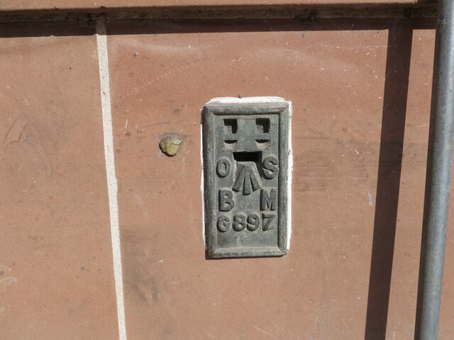


Bowduns is located at Grid Ref: NO8884 (Lat: 56.951378, Lng: -2.1943631)
Unitary Authority: Aberdeenshire
Police Authority: North East
What 3 Words
///meal.throwaway.unheated. Near Stonehaven, Aberdeenshire
Nearby Locations
Related Wikis

Bowdun Head
Bowdun Head is a headland landform on the North Sea coast approximately one kilometre south of Stonehaven, Scotland.(Ordnance Survey, 2004) Slightly to...

Dunnicaer
Dunnicaer, or Dun-na-caer, is a precipitous sea stack just off the coast of Aberdeenshire, Scotland, between Dunnottar Castle and Stonehaven. Despite the...

Strathlethan Bay
Strathlethan Bay is on the North Sea coast of Aberdeenshire, Scotland just south of Stonehaven. To the north is Downie Point near which lies Stonehaven...

Dunnottar Castle
Dunnottar Castle (Scottish Gaelic: Dùn Fhoithear, "fort on the shelving slope") is a ruined medieval fortress located upon a rocky headland on the north...
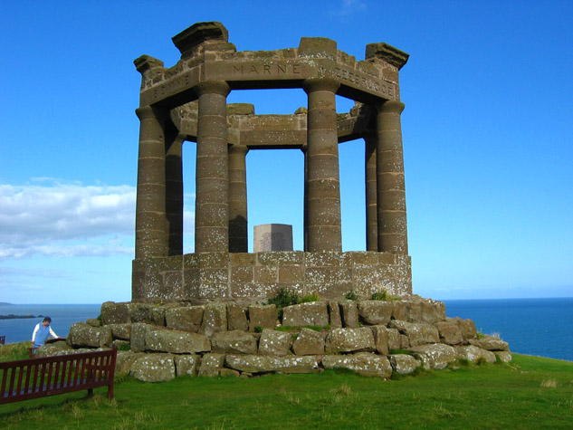
Stonehaven War Memorial
Stonehaven War Memorial is a war memorial situated on Black Hill overlooking Stonehaven in Scotland. == History == The memorial was designed by a Stonehaven...
Downie Point
Downie Point is a prominent headland located at the southern edge of Stonehaven Bay in Aberdeenshire, Scotland. (United Kingdom, 2004) From the Stonehaven...

Bellman's Head
Bellman's Head is a headland point comprising the northern boundary of Stonehaven Bay in Stonehaven, Scotland. The corresponding headland at the south...

Stonehaven Tolbooth
The Stonehaven Tolbooth is a late 16th-century stone building originally used as a courthouse and a prison in the town of Stonehaven, Aberdeenshire, Scotland...
Nearby Amenities
Located within 500m of 56.951378,-2.1943631Have you been to Bowduns?
Leave your review of Bowduns below (or comments, questions and feedback).