Battery Point
Coastal Feature, Headland, Point in Somerset
England
Battery Point

Battery Point is a prominent headland located in Somerset, a coastal town in the county of Somerset, England. Situated at the mouth of the River Parrett, it is a well-known landmark that offers stunning panoramic views of the surrounding area. The point itself extends into the Bristol Channel, providing a natural breakwater and protection to the nearby port.
The name Battery Point originates from the historical military presence in the area. In the 19th century, a fortification was built on the headland to defend the town and its harbor from potential threats. Today, the remains of the battery can still be seen, including its gun emplacements and underground tunnels.
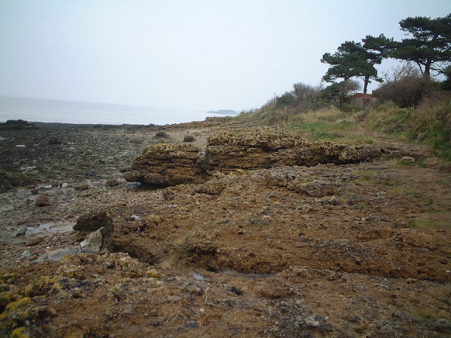
The headland is characterized by its rugged cliffs, composed of sandstone and limestone, which have been shaped by the constant erosion from the sea. At low tide, a wide expanse of rocky foreshore is revealed, exposing an array of marine life and providing an opportunity for beachcombing and exploration.
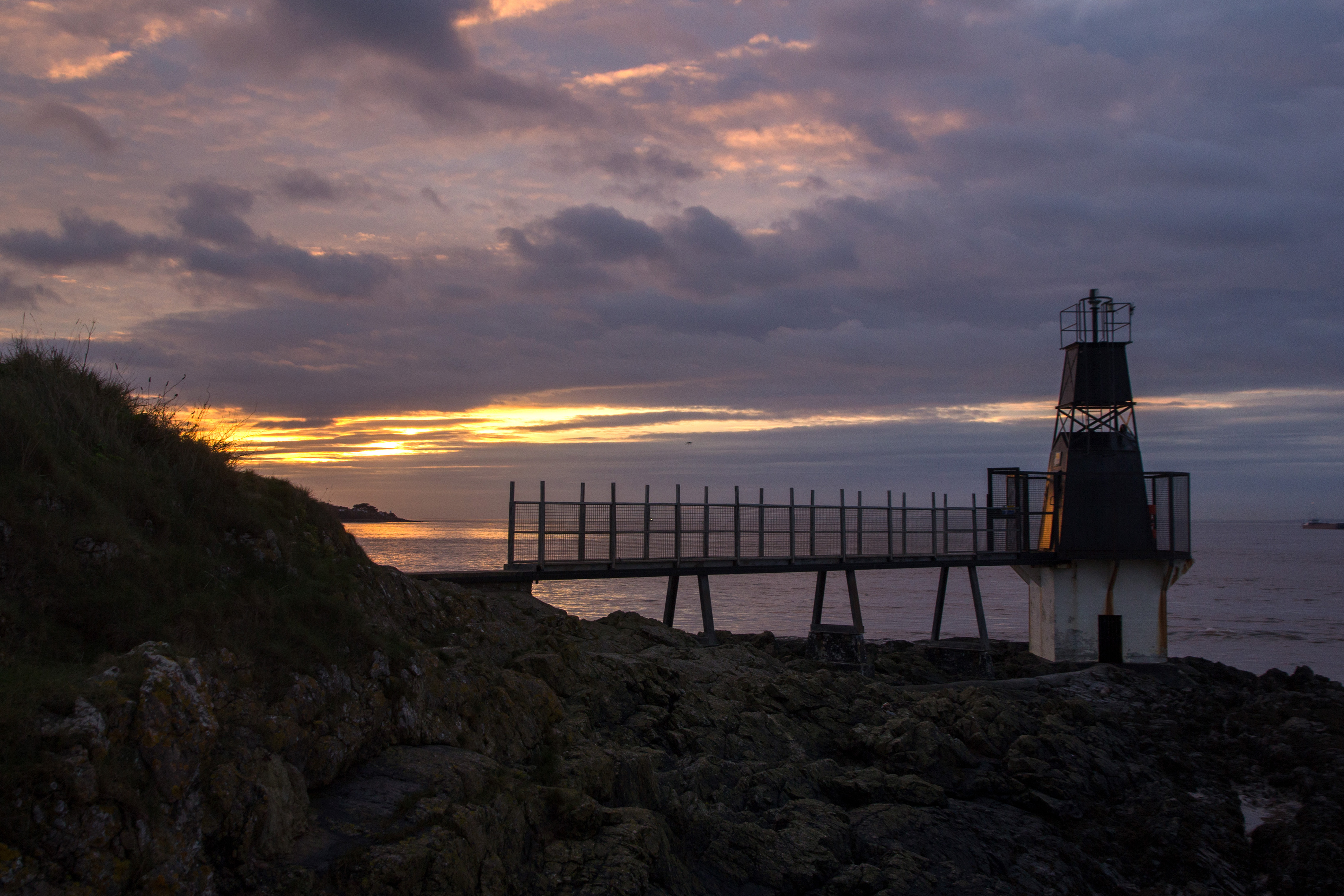
Battery Point is also home to a lighthouse, which was constructed in 1830 to guide ships through the treacherous waters of the Bristol Channel. The lighthouse, with its distinctive white tower, continues to serve as an aid to navigation to this day.
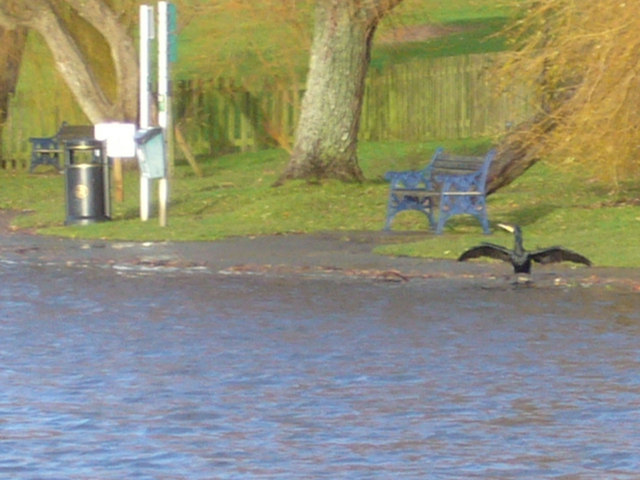
Visitors to Battery Point can enjoy a leisurely stroll along the coastal path that runs alongside the headland, offering breathtaking views of the coastline and the nearby town. It is a popular spot for birdwatching, as a variety of seabirds can be observed nesting on the cliffs, including gulls, cormorants, and fulmars.
Overall, Battery Point in Somerset is a fascinating coastal feature, boasting historical significance, natural beauty, and recreational opportunities for locals and tourists alike.
If you have any feedback on the listing, please let us know in the comments section below.
Battery Point Images
Images are sourced within 2km of 51.494327/-2.7725492 or Grid Reference ST4677. Thanks to Geograph Open Source API. All images are credited.


Battery Point is located at Grid Ref: ST4677 (Lat: 51.494327, Lng: -2.7725492)
Unitary Authority: North Somerset
Police Authority: Avon and Somerset
What 3 Words
///statement.appeal.mops. Near Portishead, Somerset
Nearby Locations
Related Wikis
Portishead Point Lighthouse
Portishead Point Lighthouse, which is more commonly known as Battery Point Lighthouse, in Portishead, Somerset, England was built in 1931. == History... ==

Portishead Radio
Portishead Radio (callsign GKA) was a radio station in England that provided worldwide maritime communications and long-range aeronautical communications...
Portishead Pier to Black Nore SSSI
Portishead Pier to Black Nore SSSI (grid reference ST474778) is a 71.8 hectare geological Site of Special Scientific Interest near the town of Portishead...
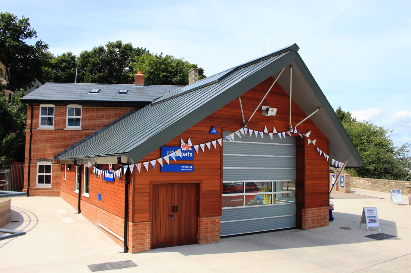
Portishead Lifeboat Station
Portishead Lifeboat Station (based in Portishead, Somerset) opened in 1995 as Portishead Lifeboat Trust, an independent lifeboat operating from Sugar Loaf...
Nearby Amenities
Located within 500m of 51.494327,-2.7725492Have you been to Battery Point?
Leave your review of Battery Point below (or comments, questions and feedback).