Taing of Brae

Coastal Feature, Headland, Point in Orkney

Scotland

Taing of Brae

Gorehouse, Rousay Small farmstead above the shoreline on the east side of the island.
Gorehouse, Rousay Credit: Gordon Hatton

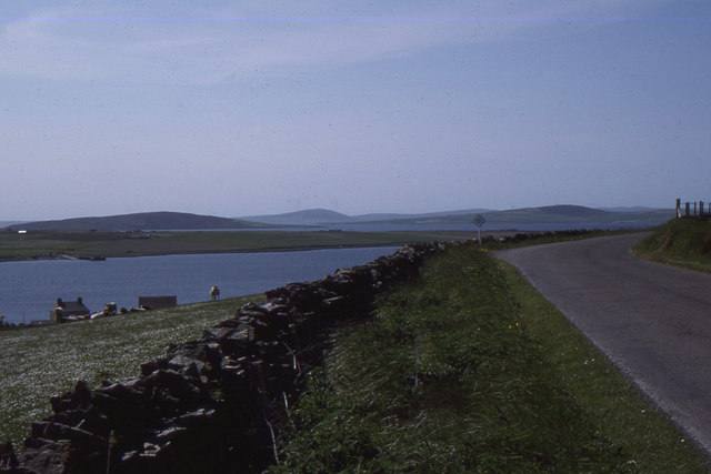
Taing of Brae is a prominent coastal feature located on the northeastern coast of the Orkney Islands in Scotland. It is a headland, or a narrow stretch of land that extends out into the sea, forming a distinct point. The name "Taing" is derived from the Old Norse word for "tongue," which aptly describes the shape of this landform.

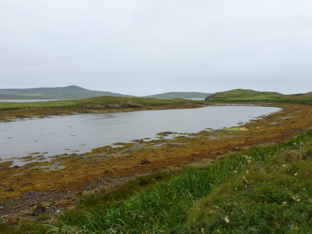
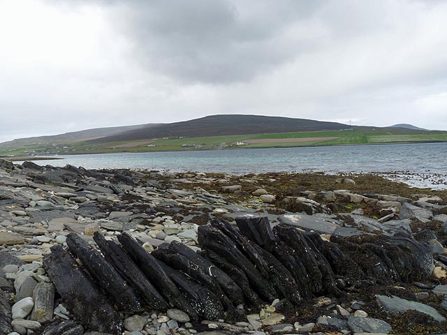
The Taing of Brae is characterized by its rugged cliffs, which rise dramatically from the North Sea. These cliffs are composed of sandstone and shale, displaying layers of different colors and textures, creating a visually striking landscape. The height of the cliffs varies, with some sections reaching up to 30 meters (98 feet) above sea level.

The headland provides a habitat for a variety of seabirds, including puffins, guillemots, and fulmars, which nest in the crevices and ledges of the cliffs. The surrounding waters also support a diverse marine ecosystem, with seals often spotted swimming near the base of the cliffs.

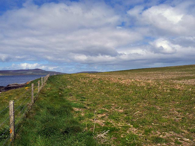
The Taing of Brae offers breathtaking panoramic views of the surrounding coastline and the open sea. On clear days, visitors can see the neighboring islands of Rousay and Eynhallow in the distance. The headland is a popular spot for nature enthusiasts, hikers, and photographers, who are drawn to its natural beauty and the opportunity to witness the power of the ocean waves crashing against the cliffs.

Due to its exposed location, the Taing of Brae can be subject to strong winds and rough seas, making it important for visitors to exercise caution when exploring the area. Nonetheless, its striking geological features and abundant wildlife make it a must-visit destination for those seeking to experience the wild and untamed beauty of the Orkney Islands.

If you have any feedback on the listing, please let us know in the comments section below.

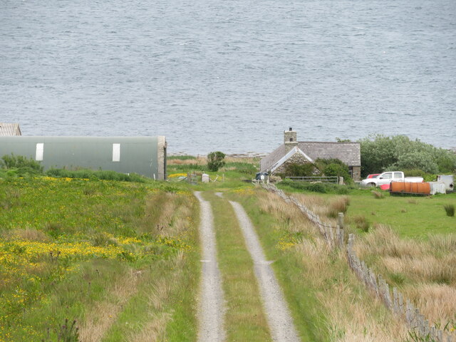
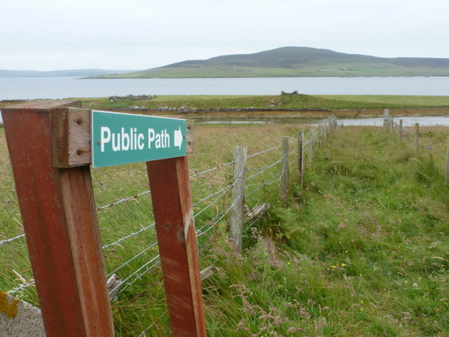
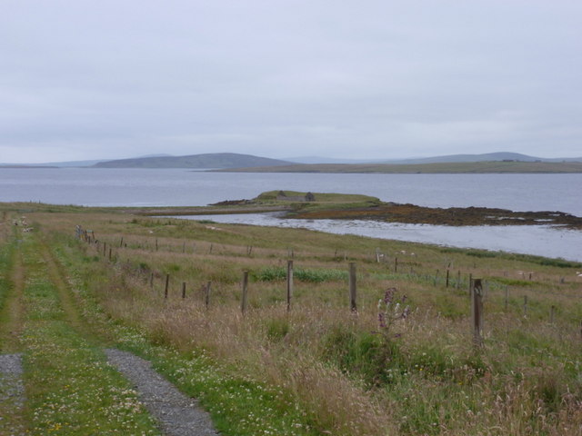
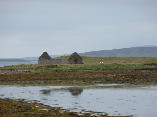
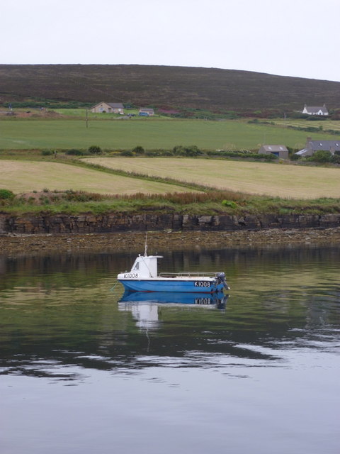
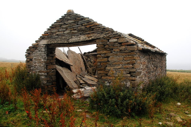
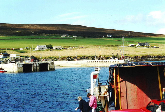
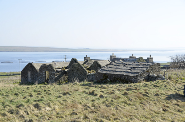
Taing of Brae Images

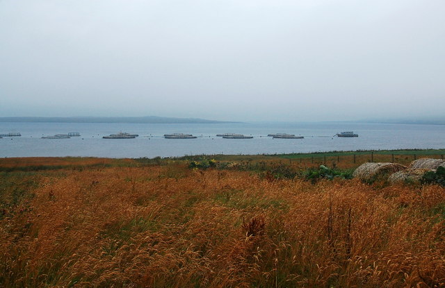
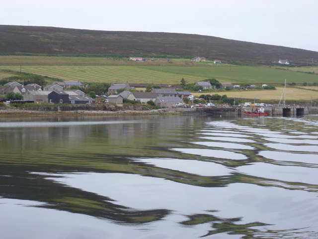
Images are sourced within 2km of 59.138958/-2.9632083 or Grid Reference HY4428. Thanks to Geograph Open Source API. All images are credited.

Gorehouse, Rousay Small farmstead above the shoreline on the east side of the island.
Gorehouse, Rousay
Small farmstead above the shoreline on the east side of the island.
Egilsay: path to The Hubbet The steep path from the track down to the shore at The Hubbet, a small sea inlet. Rousay is the island in the background.
Egilsay: path to The Hubbet
The steep path from the track down to the shore at The Hubbet, a small sea inlet. Rousay is the island in the background.
Egilsay: approaching Vady The track leads town to Vady, at the bottom of the hill and home to a promontory, Head of Vady, which is appreciable from here.
Egilsay: approaching Vady
The track leads town to Vady, at the bottom of the hill and home to a promontory, Head of Vady, which is appreciable from here.
Egilsay: shoreline of The Hubbet The Hubbet is a small sea inlet and we look towards the top end here.
Egilsay: shoreline of The Hubbet
The Hubbet is a small sea inlet and we look towards the top end here.
Egilsay: ruin on Head of Vady A ruined croft stands forlornly on the little peninsula called Head of Vady.
Egilsay: ruin on Head of Vady
A ruined croft stands forlornly on the little peninsula called Head of Vady.
Rousay: post and milk arriving This being the first boat of the day to Rousay, Wyre and Egilsay, it carries the morning mail as well as passengers (although no cars boarded and I was the only foot passenger). The postman's van was ready at the slipway and reversed onto the boat. There was then a flurry of activity as he handed the ferrymen the outgoing post and received the morning delivery for the island. Also going into the van was a small crate of pints of milk but no other items. The postman then drove off to deliver the post.

I was travelling on to Egilsay so would see the same thing happen again at Wyre (though not enough to warrant a vehicle - just an exchange of mailbags) and again at Egilsay.
Rousay: post and milk arriving
This being the first boat of the day to Rousay, Wyre and Egilsay, it carries the morning mail as well as passengers (although no cars boarded and I was the only foot passenger). The postman's van was ready at the slipway and reversed onto the boat. There was then a flurry of activity as he handed the ferrymen the outgoing post and received the morning delivery for the island. Also going into the van was a small crate of pints of milk but no other items. The postman then drove off to deliver the post. I was travelling on to Egilsay so would see the same thing happen again at Wyre (though not enough to warrant a vehicle - just an exchange of mailbags) and again at Egilsay.
Rousay: boat and fields A tranquil scene belying the rotten weather, as a fishing boat is moored just along from the harbour. I am looking from the ferry which connects Egilsay (whence I had come), Wyre and Rousay with the Orkney mainland (my destination).
Rousay: boat and fields
A tranquil scene belying the rotten weather, as a fishing boat is moored just along from the harbour. I am looking from the ferry which connects Egilsay (whence I had come), Wyre and Rousay with the Orkney mainland (my destination).
Derelict building The solid stone flag roof has collapsed, but the walls are still fine. I've a shed in my garden in a worse condition than this.
Derelict building
The solid stone flag roof has collapsed, but the walls are still fine. I've a shed in my garden in a worse condition than this.
Fish Farm, Noust of Gairstay Just before I took the picture, the mist which had reduced visibility to about 100m for much of the morning cleared. Despite having sailed past Wyre earlier in the day, this was the first time we could actually see that island (middle distance, left). To the right is Rousay.
Fish Farm, Noust of Gairstay
Just before I took the picture, the mist which had reduced visibility to about 100m for much of the morning cleared. Despite having sailed past Wyre earlier in the day, this was the first time we could actually see that island (middle distance, left). To the right is Rousay.
Wyre: ferry and post ladies swap sacks The first ferry of the day has just arrived at Wyre and this brings not only paying customers (actually, I was the only one) but also the day's post. (See <a href="https://www.geograph.org.uk/photo/2584906">HY4022 : Tingwall: the day’s post heads for Rousay, Egilsay and Wyre</a>). Here we see the ferry lady handing the delivery to the island's postmistress and being handed in return the outgoing mail to be taken to the mainland and its onward journey.
Wyre: ferry and post ladies swap sacks
The first ferry of the day has just arrived at Wyre and this brings not only paying customers (actually, I was the only one) but also the day's post. (See HY4022 : Tingwall: the day’s post heads for Rousay, Egilsay and Wyre). Here we see the ferry lady handing the delivery to the island's postmistress and being handed in return the outgoing mail to be taken to the mainland and its onward journey.
Egilsay: the post office This looks just like one of the houses on the island because, of course, it is. The post office is contained within one of the rooms just inside the door, on which the opening hours poster can be discerned. The hours are 8:30 to 10:30 on Mondays, Tuesdays and Thursdays.
Egilsay: the post office
This looks just like one of the houses on the island because, of course, it is. The post office is contained within one of the rooms just inside the door, on which the opening hours poster can be discerned. The hours are 8:30 to 10:30 on Mondays, Tuesdays and Thursdays.
Rousay: leaving for the mainland Looking back at the harbour as the ferry has just left for the Orkney mainland.
Rousay: leaving for the mainland
Looking back at the harbour as the ferry has just left for the Orkney mainland.
Wyre: the island from the air Looking across the island of Egilsay (bottom) towards Wyre, from a flight from Westray to Kirkwall airport.
Wyre: the island from the air
Looking across the island of Egilsay (bottom) towards Wyre, from a flight from Westray to Kirkwall airport.
Approaching Brinian pier, Rousay, Orkney
Derelict buildings, Knarston Farm, Rousay
Coastline, Wyre, Orkney Looking across Wyre Sound towards Knitchen Hill on Rousay.
Coastline, Wyre, Orkney
Looking across Wyre Sound towards Knitchen Hill on Rousay.
Farmland, Egilsay, Orkney This field lies within the RSPB Onziebust reserve which is farmed in such a way as to encourage breeding birds, particularly corncrakes.
Farmland, Egilsay, Orkney
This field lies within the RSPB Onziebust reserve which is farmed in such a way as to encourage breeding birds, particularly corncrakes.
Rousay: looking south above Point of Avelshay Across the channel can be seen the ferry terminal on Wyre; beyond Wyre, the hills of Mainland.
Rousay: looking south above Point of Avelshay
Across the channel can be seen the ferry terminal on Wyre; beyond Wyre, the hills of Mainland.
Show me another place!

Taing of Brae is located at Grid Ref: HY4428 (Lat: 59.138958, Lng: -2.9632083)

Unitary Authority: Orkney Islands

Police Authority: Highlands and Islands

What 3 Words

///decency.seemingly.steroids. Near Brinian, Orkney Islands

Related Wikis

Brinian

Brinian is a village on the island of Rousay, in Orkney, Scotland. Trumland is situated to the west of the village, with Taversöe Tuick nearby. Brinian...

Trumland

Trumland is a Category B listed house and associated estate on Rousay, in Orkney, Scotland, built in its present form in the 1870s. Designed by David...

St. Mary's Chapel, Wyre

St. Mary's Chapel is a ruined 12th century chapel found on the island of Wyre, in Orkney, Scotland. It is thought to have been built by a Norse chieftain...

Cobbie Row's Castle

Cobbie Row's (or Cubbie Roo's) Castle is the oldest medieval castle known to exist in Scotland. The castle ruins are located on the island of Wyre in Orkney...

Nearby Amenities

Located within 500m of 59.138958,-2.9632083
Power: pole
Lat/Long: 59.1409656/-2.9710507
Power: pole
Lat/Long: 59.1411637/-2.9696184
The data included in this document is from www.openstreetmap.org. The data is made available under ODbL.

Have you been to Taing of Brae?

Leave your review of Taing of Brae below (or comments, questions and feedback).