Brough Ness

Coastal Feature, Headland, Point in Orkney

Scotland

Brough Ness

Skerry light south of Bur Wick, South Ronaldsay Viewed from the Orkney ferry
Skerry light south of Bur Wick, South Ronaldsay Credit: Eirian Evans

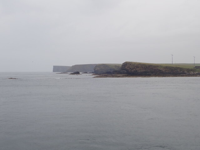
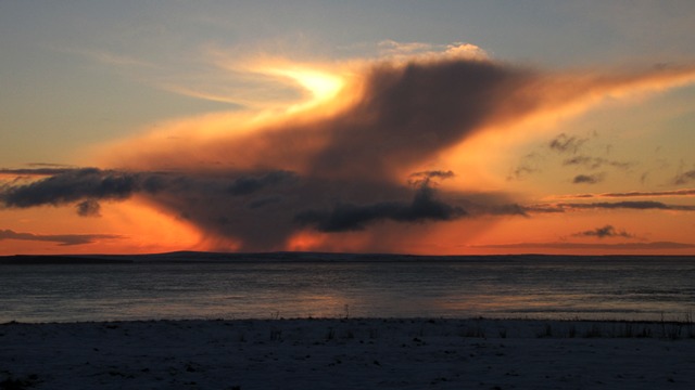
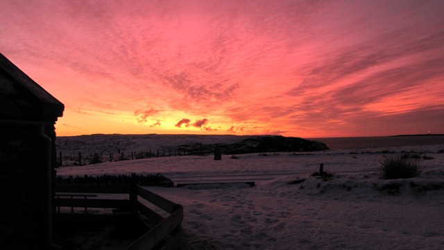
Brough Ness is a prominent coastal feature located on the northeastern coast of the island of South Ronaldsay, in the Orkney archipelago of Scotland. It is a headland or point that extends into the North Sea, offering stunning views of the surrounding waters and the nearby islands of Swona and Pentland Skerries.

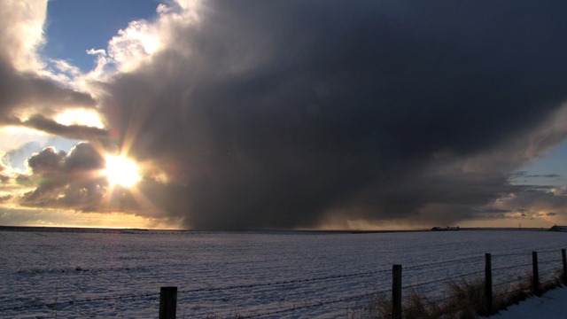
The headland is characterized by its rugged cliffs that rise steeply from the sea, reaching heights of up to 20 meters (65 feet) in some areas. These cliffs are composed of sandstone and are known for their distinctive red and yellow hues, which add to the scenic beauty of the area.

Brough Ness is a popular spot for birdwatching enthusiasts, as it provides a habitat for a variety of bird species. Visitors can often spot fulmars, kittiwakes, guillemots, and other seabirds nesting on the cliffs. The surrounding waters are also home to seals, which can sometimes be seen basking on the rocks or swimming in the sea.

The headland is easily accessible by road, with a car park nearby where visitors can leave their vehicles. From there, a short walk along a well-marked path leads to the cliff edge, providing breathtaking panoramic views of the coastline and the sea.

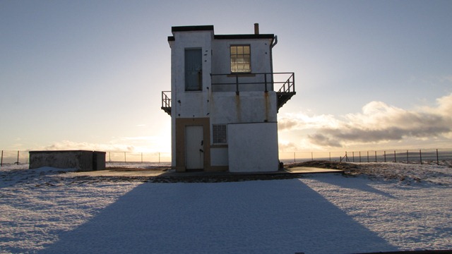
In addition to its natural beauty, Brough Ness is also of historical significance. The remains of a World War II radar station can be found on the headland, serving as a reminder of the island's role in the defense of Britain during the war.

Overall, Brough Ness is a must-visit destination for nature lovers, birdwatchers, and those interested in both the natural and historical aspects of the Orkney Islands.

If you have any feedback on the listing, please let us know in the comments section below.
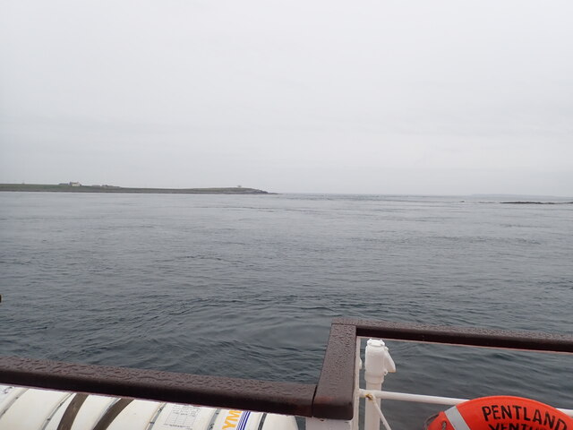
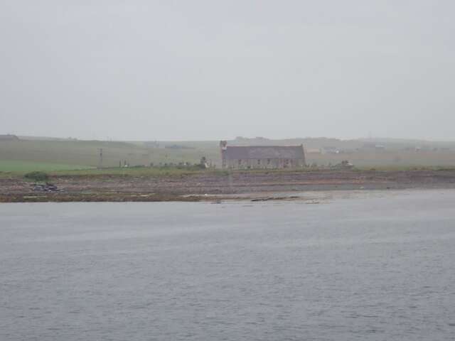
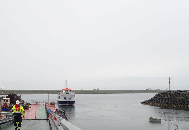
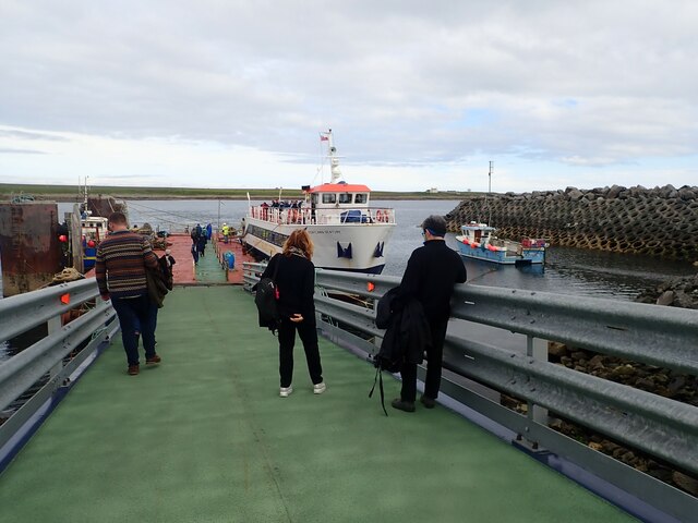
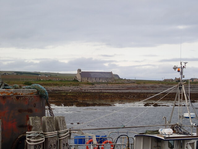
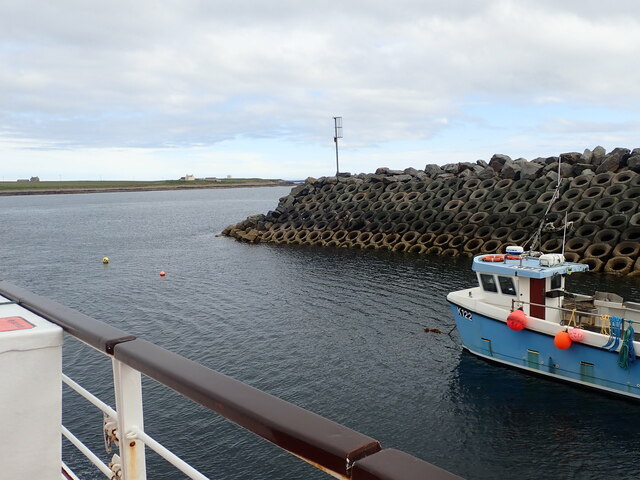
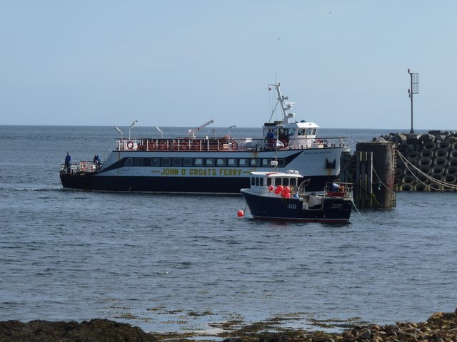
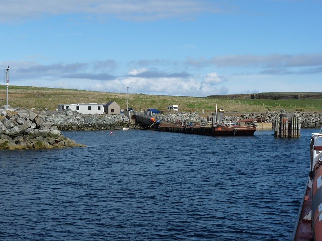
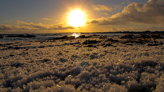
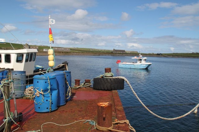
Brough Ness Images

Images are sourced within 2km of 58.733389/-2.9599 or Grid Reference ND4483. Thanks to Geograph Open Source API. All images are credited.

Skerry light south of Bur Wick, South Ronaldsay Viewed from the Orkney ferry
Skerry light south of Bur Wick, South Ronaldsay
Viewed from the Orkney ferry
Skerry light off Burwick, Orkney Passing by on the Pentland Venture ferry on its way to Bur Wick
Skerry light off Burwick, Orkney
Passing by on the Pentland Venture ferry on its way to Bur Wick
Brough Ness Southern tip of South Ronaldsay overlooking the Pentland Firth.
Brough Ness
Southern tip of South Ronaldsay overlooking the Pentland Firth.
View west from the Pentland Venture ferry Just before entering the port at Burwick
View west from the Pentland Venture ferry
Just before entering the port at Burwick
St Mary's Church, Burwick Old St Mary’s is in the very south of the south parish at Burwick. It is on the site where the first Christian missionaries reputedly arrived in Orkney. The church is thought to have last been used for regular worship around 1959, then used for occasional services until around 1995. It is on the Churches at Risk register, especially since it was struck by lightning in 2013.
St Mary's Church, Burwick
Old St Mary’s is in the very south of the south parish at Burwick. It is on the site where the first Christian missionaries reputedly arrived in Orkney. The church is thought to have last been used for regular worship around 1959, then used for occasional services until around 1995. It is on the Churches at Risk register, especially since it was struck by lightning in 2013.
Pentland Venture ferry at Burwick
Waiting for the ferry at Burwick Pier
St Mary's Church, Burwick A better view of the church than when we arrived earlier in the day <a href="https://www.geograph.org.uk/photo/7443070">ND4384 : St Mary's Church, Burwick</a>. Old St Mary’s is in the very south of the south parish at Burwick. It is on the site where the first Christian missionaries reputedly arrived in Orkney. The church is thought to have last been used for regular worship around 1959, then used for occasional services until around 1995. It is on the Churches at Risk register, especially since it was struck by lightning in 2013.
St Mary's Church, Burwick
A better view of the church than when we arrived earlier in the day ND4384 : St Mary's Church, Burwick. Old St Mary’s is in the very south of the south parish at Burwick. It is on the site where the first Christian missionaries reputedly arrived in Orkney. The church is thought to have last been used for regular worship around 1959, then used for occasional services until around 1995. It is on the Churches at Risk register, especially since it was struck by lightning in 2013.
Breakwater at Burwick Ferry Port
Skerry light off Burwick, Orkney
John o' Groats ferry arrives at Burwick Summer sailings across the Pentland Firth
John o' Groats ferry arrives at Burwick
Summer sailings across the Pentland Firth
Sunset
Sunset
Cloudy
Cloudy
Coastguard lookout Brough Ness
Sky on fire
Sky on fire
Approaching the harbour at Burwick, Orkney Islands Taken from the John O'Groats ferry.
Approaching the harbour at Burwick, Orkney Islands
Taken from the John O'Groats ferry.
Cold day
Cold day
Bur Wick Pier The end of the pier at Bur Wick
Bur Wick Pier
The end of the pier at Bur Wick
Show me another place!

Brough Ness is located at Grid Ref: ND4483 (Lat: 58.733389, Lng: -2.9599)

Unitary Authority: Orkney Islands

Police Authority: Highlands and Islands

What 3 Words

///octagon.dust.workers. Near St Margaret's Hope, Orkney Islands

Nearby Locations

Bur Wick Brough Ness

Related Wikis

Burwick, Orkney

Burwick () is a small harbour on the island of South Ronaldsay in the Orkney Islands, Scotland. It is the closest Orkney harbour to the Scottish mainland...

Tomb of the Eagles

The Tomb of the Eagles, or Isbister Chambered Cairn, is a Neolithic chambered tomb located on a cliff edge at Isbister on South Ronaldsay in Orkney, Scotland...

Liddle Burnt Mound

Liddle Burnt Mound is a Bronze Age site on the island of South Ronaldsay, Orkney. The site consists of the remains of a building and a mound that surrounds...

HMS Opal (1915)

HMS Opal was an Admiralty M-class destroyer of the Royal Navy. She served in the First World War following her construction at Sunderland in 1915. Attached...

Nearby Amenities

Located within 500m of 58.733389,-2.9599
Brough Ness
Place: locality
Source: OS 7
Lat/Long: 58.7311907/-2.9619275
Morris Geo
Place: locality
Lat/Long: 58.7293968/-2.9584796
Black Geo
Place: locality
Lat/Long: 58.7293875/-2.961262
Brough
Place: locality
Lat/Long: 58.7336568/-2.9614586
Power: pole
Lat/Long: 58.7304882/-2.9604614
Power: pole
Lat/Long: 58.7311662/-2.9605982
Power: pole
Lat/Long: 58.731904/-2.9607457
Power: pole
Lat/Long: 58.7325806/-2.9608932
Power: pole
Lat/Long: 58.7332767/-2.9610515
Power: pole
Lat/Long: 58.7339143/-2.9611695
Power: pole
Lat/Long: 58.7346799/-2.961486
Power: pole
Lat/Long: 58.735266/-2.9616952
Power: pole
Lat/Long: 58.735994/-2.9619956
Power: pole
Lat/Long: 58.7367206/-2.9622585
Power: pole
Lat/Long: 58.7374194/-2.962524
Power: pole
Lat/Long: 58.7354549/-2.9532404
Power: pole
Lat/Long: 58.7353493/-2.9545515
Power: pole
Lat/Long: 58.7352176/-2.9559054
Power: pole
Lat/Long: 58.7350964/-2.9572165
Power: pole
Lat/Long: 58.7349739/-2.9585603
Power: pole
Lat/Long: 58.7348357/-2.9600222
The data included in this document is from www.openstreetmap.org. The data is made available under ODbL.

Have you been to Brough Ness?

Leave your review of Brough Ness below (or comments, questions and feedback).