Chapel Point

Coastal Feature, Headland, Point in Orkney

Scotland

Chapel Point

Old Milestone by the A966, near Nello, Firth parish, Orkney Stone post by the A966, in parish of Firth (Mainland District), Nello, on brow of hill.

Inscription reads:-
: F / 2 : : S / 12 :
(To Finstown and Swannay)

Surveyed

Milestone Society National ID: OR_FSSW02
Old Milestone by the A966, near Nello, Firth parish, Orkney Credit: Milestone Society

The requested URL returned error: 429 Too Many Requests

If you have any feedback on the listing, please let us know in the comments section below.
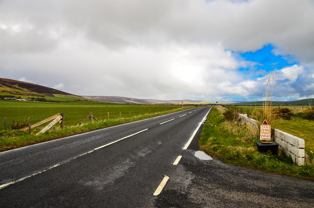
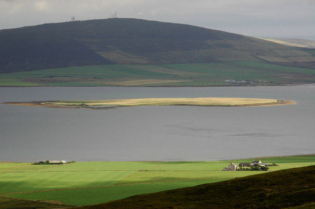
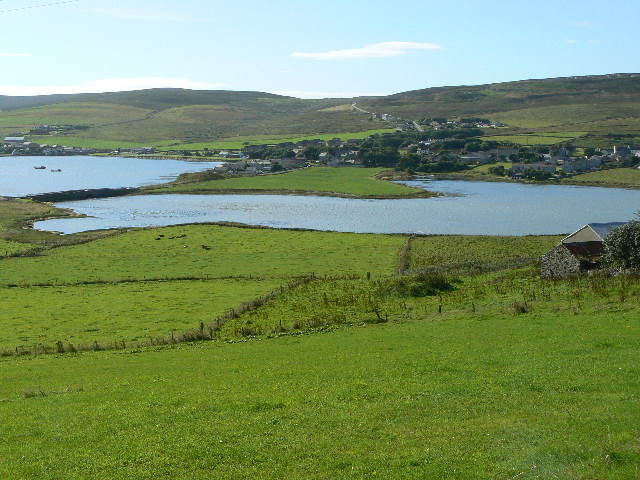
Chapel Point Images

Images are sourced within 2km of 59.022717/-3.0654913 or Grid Reference HY3815. Thanks to Geograph Open Source API. All images are credited.

Old Milestone by the A966, near Nello, Firth parish, Orkney Stone post by the A966, in parish of Firth (Mainland District), Nello, on brow of hill.

Inscription reads:-
: F / 2 : : S / 12 :
(To Finstown and Swannay)

Surveyed

Milestone Society National ID: OR_FSSW02
Old Milestone by the A966, near Nello, Firth parish, Orkney
Stone post by the A966, in parish of Firth (Mainland District), Nello, on brow of hill. Inscription reads:- : F / 2 : : S / 12 : (To Finstown and Swannay) Surveyed Milestone Society National ID: OR_FSSW02
Damsay Chapel (St.Mary's) Is it the Ancient Chapel?  There is much historical confusion. In any case, little to see; but it all has some interesting history.
The main structure has been taken by the sea and, presumably, much of the original stone is in the imposing ruin nearby.
One may infer that there was a reasonable structure here or nearby, as it was used by the rogues mentioned in the Orkneyinga Saga.
It is said and yet to be proved, that a causeway <a href="https://www.geograph.org.uk/photo/2384726">HY3714 : The Coubister-Damsay Causeway?</a> once reached this spot from Coubister.
The Island was visited by Swein Asleifson in 1136 and by me in 2011 - things may have changed in over 800 years.
Damsay Chapel (St.Mary's)
Is it the Ancient Chapel? There is much historical confusion. In any case, little to see; but it all has some interesting history. The main structure has been taken by the sea and, presumably, much of the original stone is in the imposing ruin nearby. One may infer that there was a reasonable structure here or nearby, as it was used by the rogues mentioned in the Orkneyinga Saga. It is said and yet to be proved, that a causeway HY3714 : The Coubister-Damsay Causeway? once reached this spot from Coubister. The Island was visited by Swein Asleifson in 1136 and by me in 2011 - things may have changed in over 800 years.
Damsay North-east corner From the shoreline towards the imposing ruin of Damsay.
There are three lochs, rather brackish but peaceful havens for eider, grey lag and a few grazing sheep.
Damsay North-east corner
From the shoreline towards the imposing ruin of Damsay. There are three lochs, rather brackish but peaceful havens for eider, grey lag and a few grazing sheep.
The Ruin, Damsay There is historical confusion about Damsay and some chilling tales, like <span class="nowrap"><a title="http://www.orkneyjar.com/history/joben/damsay.htm" rel="nofollow ugc noopener" href="http://www.orkneyjar.com/history/joben/damsay.htm">Link</a><img style="margin-left:2px;" alt="External link" title="External link - shift click to open in new window" src="https://s1.geograph.org.uk/img/external.png" width="10" height="10"/></span> but Wikipedia has an entry  <span class="nowrap"><a title="https://en.wikipedia.org/wiki/Damsay" rel="nofollow ugc noopener" href="https://en.wikipedia.org/wiki/Damsay">Link</a><img style="margin-left:2px;" alt="External link" title="External link - shift click to open in new window" src="https://s1.geograph.org.uk/img/external.png" width="10" height="10"/></span>.

Close inspection reveals a church-like building but there are fireplaces and many windows - see here <a href="https://www.geograph.org.uk/photo/2384671">HY3914 : Damsay Ruin inside</a>.
The Ruin, Damsay
There is historical confusion about Damsay and some chilling tales, like LinkExternal link but Wikipedia has an entry LinkExternal link. Close inspection reveals a church-like building but there are fireplaces and many windows - see here HY3914 : Damsay Ruin inside.
Damsay Ruin inside One may wonder at its purpose. Manse-like in appearance and too grand to be a sea cottage.
Surely the stone came from the missing Castle or, indeed, the nearly missing St Mary's Chapel.
I'd like to know more - much more.
Damsay Ruin inside
One may wonder at its purpose. Manse-like in appearance and too grand to be a sea cottage. Surely the stone came from the missing Castle or, indeed, the nearly missing St Mary's Chapel. I'd like to know more - much more.
The Coubister-Damsay Causeway? There is talk about and good evidence for, submerged structures in the Bay of Firth.
Coubister Skerries seems to reach towards Damsay and, on old maps, a road leads directly there. One may discern some promising features in this picture.
See here <a href="https://www.geograph.org.uk/photo/2384507">HY3814 : Damsay Chapel (St.Mary's)</a>
And this .pdf - <span class="nowrap"><a title="http://www.abdn.ac.uk/staffpages/uploads/arc007/RT_interim_June2009.pdf" rel="nofollow ugc noopener" href="http://www.abdn.ac.uk/staffpages/uploads/arc007/RT_interim_June2009.pdf">Link</a><img style="margin-left:2px;" alt="External link" title="External link - shift click to open in new window" src="https://s1.geograph.org.uk/img/external.png" width="10" height="10"/></span>
The Coubister-Damsay Causeway?
There is talk about and good evidence for, submerged structures in the Bay of Firth. Coubister Skerries seems to reach towards Damsay and, on old maps, a road leads directly there. One may discern some promising features in this picture. See here HY3814 : Damsay Chapel (St.Mary's) And this .pdf - LinkExternal link
The Skerries of Coubister These skerries reach into the Bay of Firth towards Damsay.
See <a href="https://www.geograph.org.uk/photo/2384726">HY3714 : The Coubister-Damsay Causeway?</a> and <a href="https://www.geograph.org.uk/photo/2384507">HY3814 : Damsay Chapel (St.Mary's)</a>
The Skerries of Coubister
These skerries reach into the Bay of Firth towards Damsay. See HY3714 : The Coubister-Damsay Causeway? and HY3814 : Damsay Chapel (St.Mary's)
Coubister: postbox № KW17 86 This postbox, alongside a bus shelter at a crossroads on the A966, is emptied at 11:15 on weekday and Saturday mornings.
Coubister: postbox № KW17 86
This postbox, alongside a bus shelter at a crossroads on the A966, is emptied at 11:15 on weekday and Saturday mornings.
A966 to the north of Coubister Looking towards Finstown.
A966 to the north of Coubister
Looking towards Finstown.
A966 coastal road Heading north past The Whins.
A966 coastal road
Heading north past The Whins.
The Whins Dwelling by the A966 to the north of Coubister.
The Whins
Dwelling by the A966 to the north of Coubister.
Hewing Grazing fields below Quoy of the Hill.
Hewing
Grazing fields below Quoy of the Hill.
Evening view across Bay of Firth to Burness from Finstown
Crossroads at Coubister A minor road crosses the A966, which is the main coastal road.
Crossroads at Coubister
A minor road crosses the A966, which is the main coastal road.
Frisky cow near Coubister Several cows seemed very excited to see me on the other side of the fence. Perhaps they don't get much company down this very rarely used path.
Frisky cow near Coubister
Several cows seemed very excited to see me on the other side of the fence. Perhaps they don't get much company down this very rarely used path.
Barley fields near Coubister Part of the fertile coastal plain.
Barley fields near Coubister
Part of the fertile coastal plain.
Coastline near Coubister The beach consists of a soft rock that is almost slate-like.
Coastline near Coubister
The beach consists of a soft rock that is almost slate-like.
Beached boat bear Coubister
Show me another place!

Chapel Point is located at Grid Ref: HY3815 (Lat: 59.022717, Lng: -3.0654913)

Unitary Authority: Orkney Islands

Police Authority: Highlands and Islands

What 3 Words

///polished.scrub.converged. Near Rendall, Orkney Islands

Nearby Locations

Chapel Point

Related Wikis

Damsay

Damsay is an islet in the Orkney archipelago in Scotland. It is approximately 18 hectares (0.07 sq mi) in extent and rises to only 11 metres (36 ft) above...

Holm of Grimbister

Holm of Grimbister is an inhabited tidal islet in the Orkney archipelago of Scotland. Located in the Bay of Firth near Finstown it is connected to Mainland...

Rennibister Earth House

Rennibister Earth House is an Iron Age underground structure known as a souterrain. It is located on the Mainland of Orkney, in Scotland. The monument...

Finstown

Finstown (locally ) is a village in the parish of Firth on Mainland, Orkney, Scotland. It is the fourth-largest settlement in the Orkney Islands. According...

Nearby Amenities

Located within 500m of 59.022717,-3.0654913
Power: pole
Lat/Long: 59.0264685/-3.069412
Generator Method: wind_turbine
Generator Source: wind
Power: generator
Lat/Long: 59.0262878/-3.0656079
The data included in this document is from www.openstreetmap.org. The data is made available under ODbL.

Have you been to Chapel Point?

Leave your review of Chapel Point below (or comments, questions and feedback).