Garnetts
Settlement in Essex Uttlesford
England
Garnetts
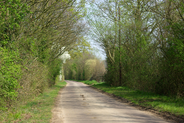
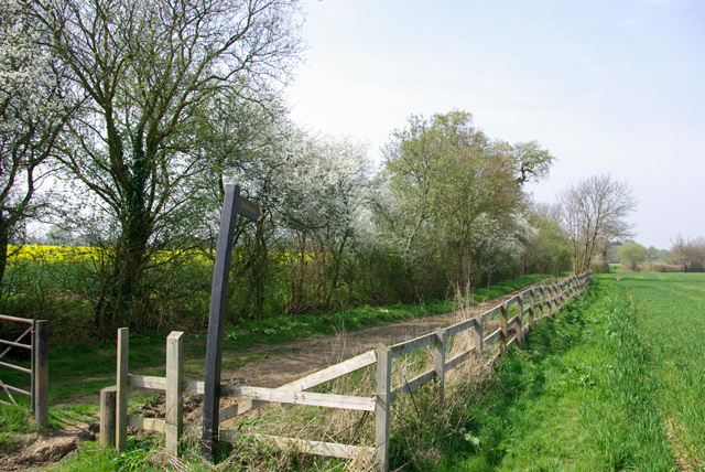
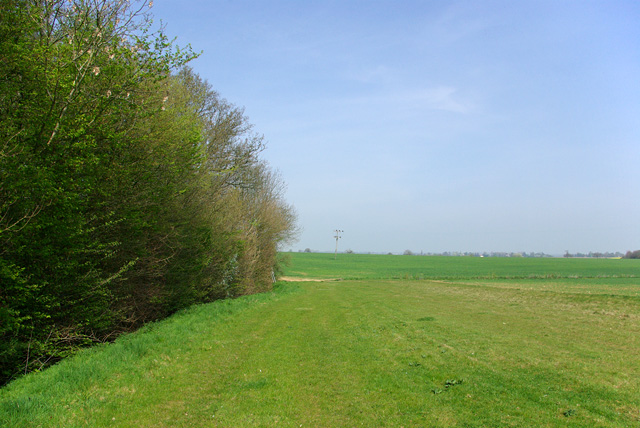
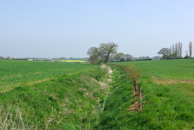
Garnetts is a small village located in the county of Essex, England. Situated approximately 40 miles northeast of London, it falls within the district of Uttlesford. The village is nestled amidst the picturesque countryside, surrounded by rolling hills, fields, and woodlands, offering residents and visitors a tranquil and idyllic setting.
Garnetts is known for its charming rural character, with a population of around 500 inhabitants. The village has a close-knit community that takes pride in preserving its historical heritage. One notable landmark is the St. Mary's Church, a Grade II listed building with a rich history dating back to the 13th century. Its stunning architecture and peaceful atmosphere make it a popular spot for locals and tourists alike.
The village also boasts a range of amenities and services to cater to the needs of its residents. These include a primary school, a village hall, a local pub, and a few small businesses. While Garnetts does not have its own grocery store, residents can easily access nearby towns and villages for their daily necessities.
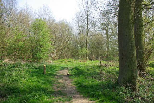
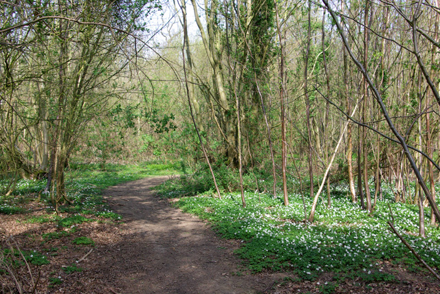
For those seeking outdoor activities, the surrounding countryside offers ample opportunities for walking, cycling, and exploring nature. Garnetts is also within driving distance of Epping Forest and Hatfield Forest, both of which are popular destinations for outdoor enthusiasts.
Overall, Garnetts is a charming and peaceful village that offers a slower pace of life, while still being within reach of larger towns and amenities. Its rural beauty and strong community spirit make it an attractive place to reside or visit for those seeking a tranquil countryside experience.
If you have any feedback on the listing, please let us know in the comments section below.
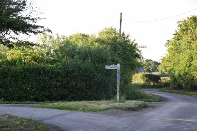
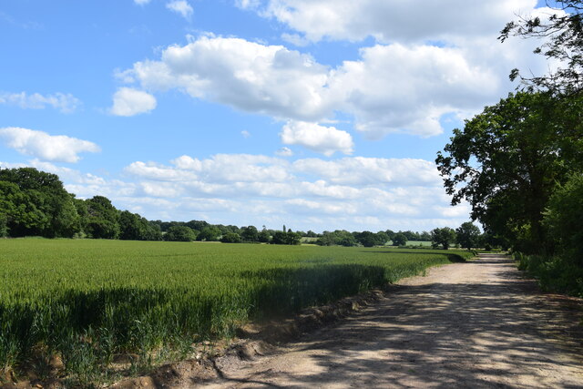
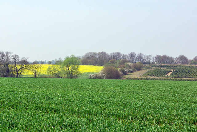
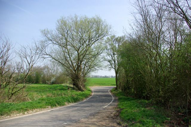
Garnetts Images
Images are sourced within 2km of 51.827839/0.36396527 or Grid Reference TL6317. Thanks to Geograph Open Source API. All images are credited.


Garnetts is located at Grid Ref: TL6317 (Lat: 51.827839, Lng: 0.36396527)
Administrative County: Essex
District: Uttlesford
Police Authority: Essex
What 3 Words
///actor.cabbages.blaze. Near Little Dunmow, Essex
Nearby Locations
Related Wikis

Bishop's Green, Essex
Bishop's Green is a hamlet in the civil parish of High Easter in the Uttlesford district of Essex, England. The hamlet is on the road between the villages...

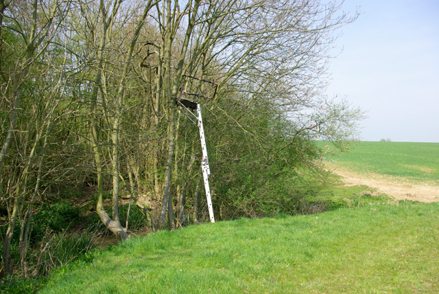
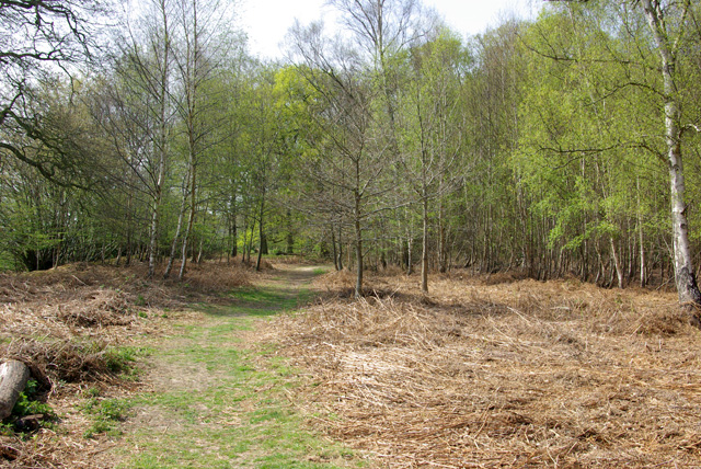
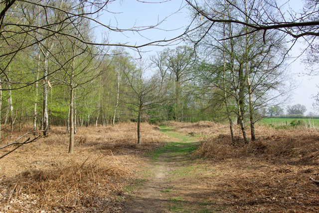
Garnetts Wood and Barnston Lays
Garnetts Wood and Barnston Lays is a 25 hectare biological Site of Special Scientific Interest two miles south of Great Dunmow in Essex. It is owned and...

Wellstye Green
Wellstye Green or Wells Tye Green is a hamlet located between the villages of High Easter and Barnston, in the Uttlesford district of Essex. It is the...

Stagden Cross
Stagden Cross is a hamlet in the civil parish of High Easter, and the Uttlesford district of Essex, England. The hamlet is 1 mile (1.6 km) east from High...

High Easter
High Easter is a village and a civil parish in the Uttlesford district of Essex, England. The village is 7 miles (11 km) northwest from the city of and...

High Roding
High Roding is a village and civil parish in the Uttlesford district of Essex, England. The village is included in the eight hamlets and villages called...
Hounslow Green
Hounslow Green or Onslow Green is a hamlet on the B1008 road (historically the A130 road), located in between the villages of Barnston and Ford End, in...

Barnston, Essex
Barnston is a village and civil parish in Essex, England. The village is on the B1008 road, about 1+3⁄4 miles (2.8 km) south-east of Great Dunmow and...
Nearby Amenities
Located within 500m of 51.827839,0.36396527Have you been to Garnetts?
Leave your review of Garnetts below (or comments, questions and feedback).