Whiting Point
Coastal Feature, Headland, Point in Orkney
Scotland
Whiting Point

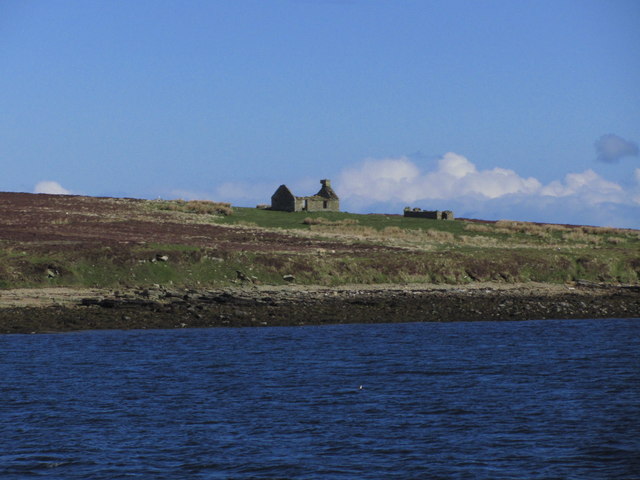
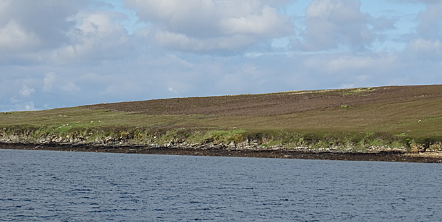
Whiting Point is a prominent headland located on the northern coast of Orkney, a group of islands situated off the northeastern coast of Scotland. It is known for its striking natural beauty, captivating landscapes, and historical significance.
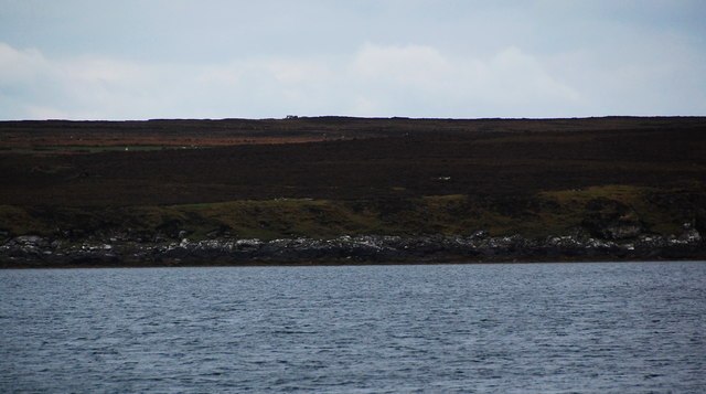
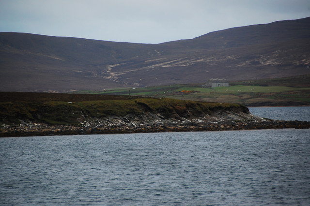
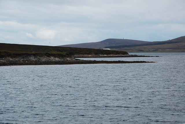
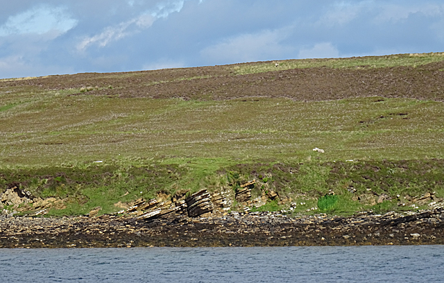
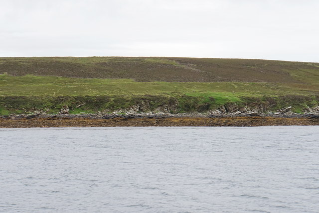
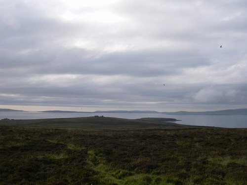
This coastal feature juts out into the North Sea, offering breathtaking panoramic views of the surrounding area. The rocky cliffs that line the headland reach impressive heights, providing a dramatic backdrop against the crashing waves below. The rugged terrain is adorned with vibrant green vegetation, adding to the picturesque allure of the area.
Whiting Point is a popular destination for nature enthusiasts and outdoor adventurers. Its location on the coast makes it an ideal spot for birdwatching, with a variety of seabirds and migratory species frequenting the area. Visitors can often spot gulls, puffins, and fulmars soaring above the cliffs or nesting on the ledges.
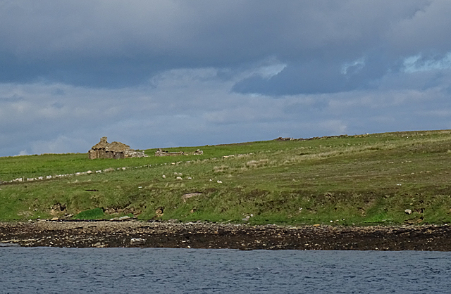
In addition to its natural beauty, Whiting Point holds historical significance. The headland is home to the remains of an ancient fort, believed to date back to the Iron Age. These ruins serve as a reminder of Orkney's rich cultural heritage and provide an opportunity for visitors to explore the area's history.
Access to Whiting Point is relatively easy, with a well-maintained footpath leading from a nearby car park. The headland can be enjoyed year-round, but caution is advised during inclement weather due to the exposed nature of the location. Overall, Whiting Point offers a captivating blend of natural beauty, wildlife, and history, making it a must-visit destination for those exploring the Orkney Islands.
If you have any feedback on the listing, please let us know in the comments section below.
Whiting Point Images
Images are sourced within 2km of 58.853956/-3.1628802 or Grid Reference ND3396. Thanks to Geograph Open Source API. All images are credited.


Whiting Point is located at Grid Ref: ND3396 (Lat: 58.853956, Lng: -3.1628802)
Unitary Authority: Orkney Islands
Police Authority: Highlands and Islands
What 3 Words
///perfumes.otherwise.bonus. Near Lyness, Orkney Islands
Nearby Locations
Related Wikis

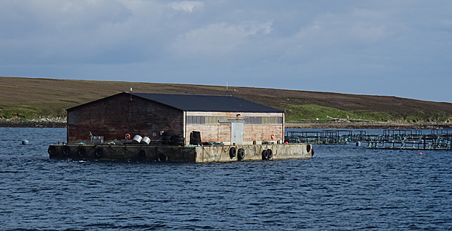
Gutter Sound
Gutter Sound is a sound in Orkney, Scotland, part of Scapa Flow. It lies to the west of the main harbour between the internal islands of Cava and Fara...

Fara, Orkney
Fara (, Old Norse: Færey ) is a small island in Orkney, Scotland, lying in Scapa Flow between the islands of Flotta and Hoy. It has been uninhabited since...

Rysa Little
Rysa Little, commonly referred to as Rysa, is an uninhabited island in the Orkney archipelago in Scotland. It is approximately 32 hectares (79 acres) in...
Cava, Orkney
Cava is an uninhabited island in the Orkney archipelago in Scotland. It is 107 hectares (0.41 sq mi) in extent and rises to 38 metres (125 ft) above sea...

Scapa Flow Museum
Scapa Flow Museum is a war museum in Lyness on the Island of Hoy, Orkney, Scotland. Housed within a refurbished Romney hut and oil fuel pump house at the...

SMS Dresden (1917)
SMS Dresden was the second and final ship of the Cöln class of light cruisers to be completed and commissioned in the Kaiserliche Marine (Imperial Navy...

HMS Vanguard (1909)
HMS Vanguard was one of three St Vincent-class dreadnought battleships built for the Royal Navy in the first decade of the 20th century. She spent her...
Crockness Martello tower
Crockness Martello Tower is a Martello Tower on Hoy, Orkney, Scotland. It was built during the Napoleonic Wars, at the same time as the Martello Tower...
Nearby Amenities
Located within 500m of 58.853956,-3.1628802Have you been to Whiting Point?
Leave your review of Whiting Point below (or comments, questions and feedback).