Aith Head
Coastal Feature, Headland, Point in Orkney
Scotland
Aith Head
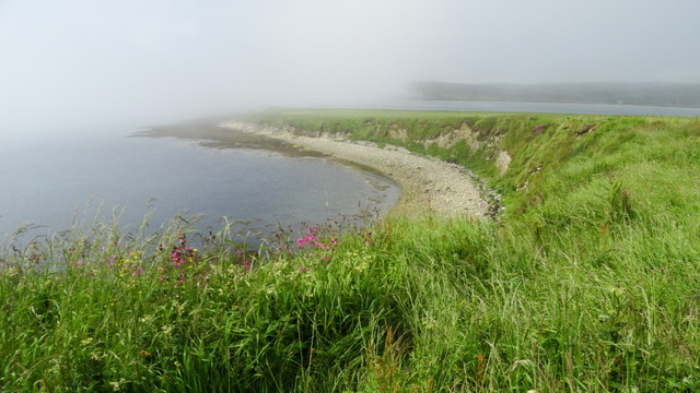
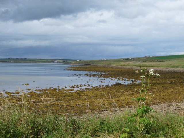
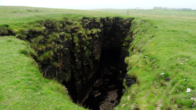
Aith Head is a prominent coastal feature located in the Orkney Islands, a group of islands situated north of mainland Scotland. It is specifically situated on the western coast of the Mainland, the largest island in the archipelago. Aith Head is characterized as a headland, which is a narrow strip of land that extends out into the sea and is surrounded by water on three sides.
This coastal feature boasts stunning natural beauty and offers breathtaking panoramic views of the surrounding sea and coastline. It is known for its rugged cliffs, which reach heights of approximately 50 meters (165 feet) above sea level, providing a dramatic backdrop against the crashing waves. The headland is composed of sandstone and is covered in lush vegetation, including grasses, heather, and wildflowers, which add to its scenic appeal.
The location of Aith Head makes it an ideal spot for outdoor enthusiasts and nature lovers. It provides opportunities for various recreational activities, such as hiking, birdwatching, and photography. The headland is home to a rich and diverse wildlife population, with seabirds, including puffins, fulmars, and guillemots, being particularly abundant. Visitors can observe these fascinating creatures nesting and soaring above the cliffs.
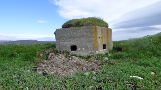
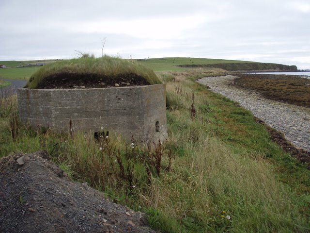
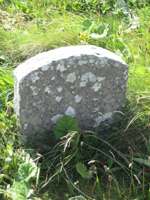
In addition to its natural wonders, Aith Head also holds historical significance. On the headland, there are remnants of ancient settlements, such as stone walls and earthworks, which serve as evidence of human occupation in the area dating back thousands of years.
Overall, Aith Head is a captivating coastal feature in the Orkney Islands, offering a unique blend of natural beauty, wildlife, and historical heritage.
If you have any feedback on the listing, please let us know in the comments section below.
Aith Head Images
Images are sourced within 2km of 58.778094/-3.2005726 or Grid Reference ND3088. Thanks to Geograph Open Source API. All images are credited.


Aith Head is located at Grid Ref: ND3088 (Lat: 58.778094, Lng: -3.2005726)
Unitary Authority: Orkney Islands
Police Authority: Highlands and Islands
What 3 Words
///posts.raven.seeing. Near Lyness, Orkney Islands
Related Wikis

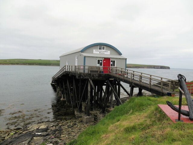
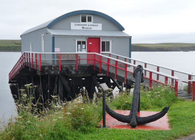
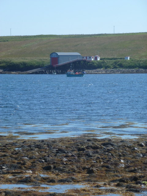
RNLB Thomas McCunn (ON 759)
RNLB Thomas McCunn (ON 759) is a 45ft 6in Watson-class lifeboat stationed at Longhope in Orkney, Scotland, from January 1933 until April 1962. During...

Brims, Orkney
Brims is a village at the southern point of the island of Hoy, in Orkney, Scotland. The settlement is within the parish of Walls and Flotta. The RNLI lifeboat...

South Walls
South Walls (Scots: Sooth Waas), often referred to as Walls, is an inhabited island adjacent to Hoy in Orkney, Scotland. The name is a corruption of "Sooth...

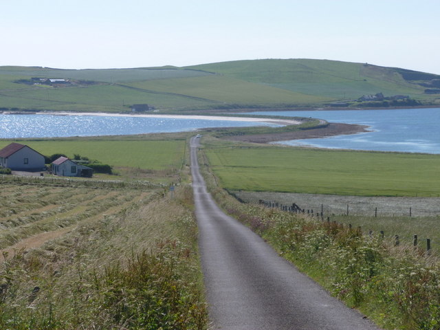
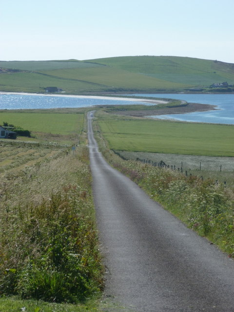
Longhope, Orkney
Longhope is a coastal settlement on the island of South Walls, in Orkney, Scotland. South Walls is linked to Hoy by causeway; Longhope is the largest settlement...
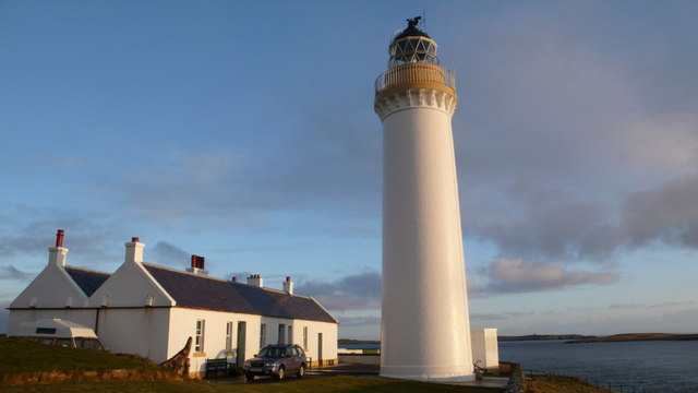
Cantick Head Lighthouse
The Cantick Head Lighthouse is an active 19th century lighthouse on the Scottish island of South Walls in the Orkney Islands. It is located at the end...
Hackness Martello Tower and Battery
Hackness Martello Tower and Battery is a British Army barracks and museum located on the island of South Walls, in Orkney, Scotland. == History == The...

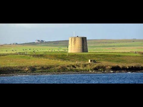
Crockness Martello tower
Crockness Martello Tower is a Martello Tower on Hoy, Orkney, Scotland. It was built during the Napoleonic Wars, at the same time as the Martello Tower...

Lyness
Lyness is a village on the east coast of the island of Hoy, Orkney, Scotland. The village is within the parish of Walls and Flotta, and is situated at...
Related Videos

Island Of Hoy On Visit To The Orkney Islands Scotland
Tour Scotland travel video clip, with Scottish music, of the Island of Hoy the largest archipelago, after Mainland, on visit to the ...
Island Of South Walls On History Visit To The Orkney Islands Of Scotland
Tour Scotland short travel video clip, with Scottish music, of the inhabited island of South Walls on ancestry, genealogy, history ...
Have you been to Aith Head?
Leave your review of Aith Head below (or comments, questions and feedback).