Ness of Portnaculter
Coastal Feature, Headland, Point in Ross-shire
Scotland
Ness of Portnaculter

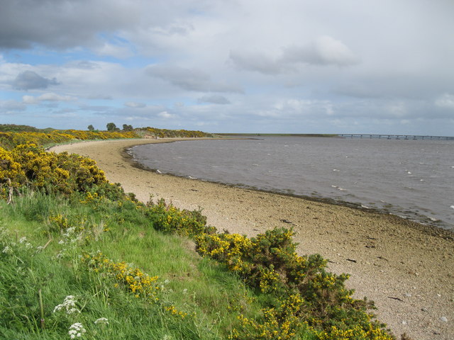
Ness of Portnaculter is a prominent coastal feature located in Ross-shire, Scotland. It is a stunning headland that juts out into the North Sea, forming a distinct point along the rugged coastline. The Ness is situated approximately 3 miles northwest of the village of Portmahomack.
The headland is characterized by its dramatic cliffs that rise steeply from the sea, providing breathtaking views of the surrounding area. These cliffs are composed of various rock formations, including sandstone and conglomerate, which are a result of geological processes over millions of years.
Ness of Portnaculter is known for its rich biodiversity, with the cliffs providing nesting sites for various seabirds, such as kittiwakes, fulmars, and guillemots. The surrounding waters are also home to a diverse range of marine life, including seals and dolphins, which can often be spotted from the headland.
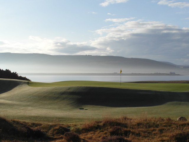
The Ness is a popular destination for nature enthusiasts and hikers, who can explore the coastal trails that wind along the cliff edges, offering stunning panoramic views of the sea and surrounding countryside. It is also a great spot for birdwatching and photography, with opportunities to capture the beauty of the rugged coastline and its inhabitants.
Overall, Ness of Portnaculter is a remarkable coastal feature that showcases the natural beauty and diversity of Scotland's coastline. Its rugged cliffs, diverse wildlife, and scenic views make it a must-visit destination for anyone exploring the Ross-shire region.
If you have any feedback on the listing, please let us know in the comments section below.
Ness of Portnaculter Images
Images are sourced within 2km of 57.839198/-4.1288982 or Grid Reference NH7385. Thanks to Geograph Open Source API. All images are credited.


Ness of Portnaculter is located at Grid Ref: NH7385 (Lat: 57.839198, Lng: -4.1288982)
Unitary Authority: Highland
Police Authority: Highlands and Islands
What 3 Words
///plot.winning.spaceship. Near Tain, Highland
Nearby Locations
Related Wikis

Dornoch Firth Bridge
The Dornoch Firth Bridge is a road bridge over the Dornoch Firth, carrying traffic between Tain and Dornoch. == History == It was built for the Scottish...
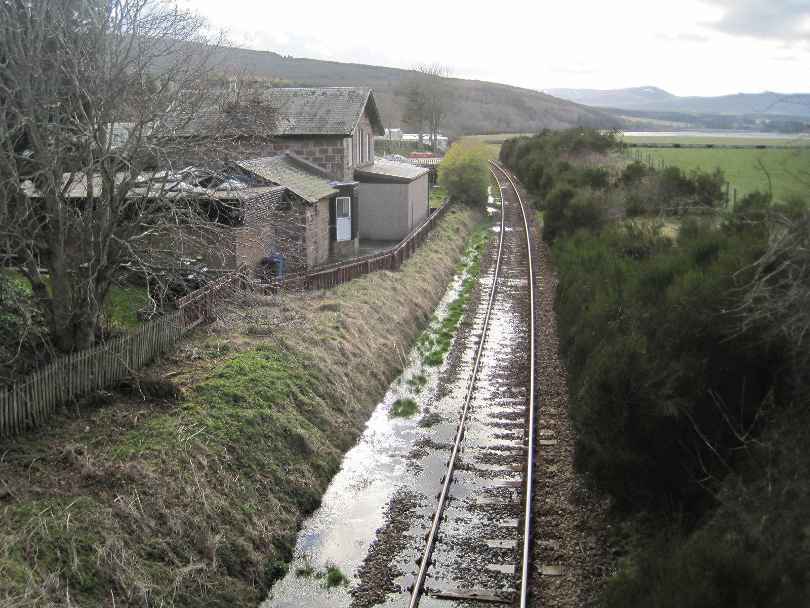
Meikle Ferry railway station
Meikle Ferry railway station served the town of Dornoch, Sutherland, Scotland from 1864 to 1869 on the Inverness and Ross-shire Railway. == History... ==

Meikle Ferry disaster
The Meikle Ferry took passengers across the tidal Dornoch Firth in North Scotland. On 16 August 1809, in clear weather conditions, the overloaded ferry...

Ardjachie Stone
The Ardjachie Stone is an uncut but decorated red sandstone boulder discovered by farmers in 1960 on the Ardjachie Farm in the Tarbat peninsula of Easter...
Nearby Amenities
Located within 500m of 57.839198,-4.1288982Have you been to Ness of Portnaculter?
Leave your review of Ness of Portnaculter below (or comments, questions and feedback).