Garlic Street
Settlement in Norfolk South Norfolk
England
Garlic Street
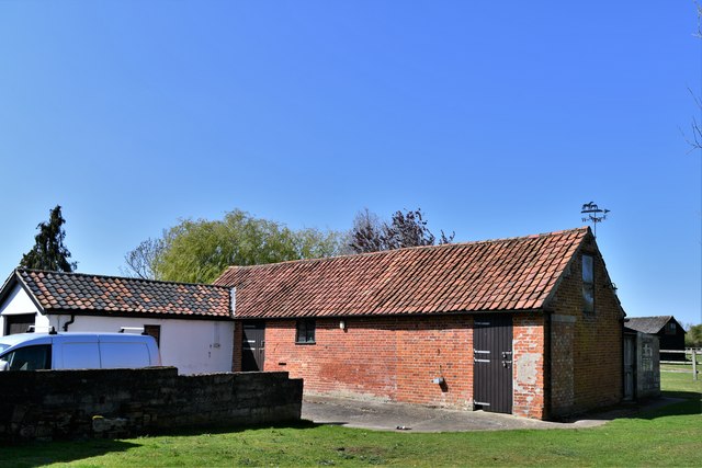
Garlic Street is a quaint residential area located in Norfolk, a county in eastern England. Situated within the town of Thetford, Garlic Street is nestled in a peaceful and well-connected neighborhood, offering a serene living environment for its residents.
The street itself is lined with a mix of traditional and modern houses, each displaying its own unique charm. The properties on Garlic Street range from cozy cottages to spacious family homes, catering to a diverse range of housing preferences. Many of the houses feature well-maintained gardens, adding a touch of natural beauty to the area.
The community in Garlic Street is known for its friendly and close-knit atmosphere. Neighbors often engage in social gatherings, fostering a strong sense of camaraderie within the street. Residents take pride in maintaining the cleanliness and upkeep of their properties, contributing to the overall aesthetic appeal of Garlic Street.
Convenient amenities are within easy reach of Garlic Street, with shops, supermarkets, and cafes just a short walk or drive away. Additionally, the area benefits from excellent transport links, allowing residents to easily access nearby towns and cities. The nearby Thetford train station provides regular services to destinations such as Norwich and Cambridge, making commuting to work or exploring the wider region a breeze.
Overall, Garlic Street in Norfolk offers a peaceful and pleasant living environment, combining the comforts of a residential area with the convenience of nearby amenities and transport links.
If you have any feedback on the listing, please let us know in the comments section below.
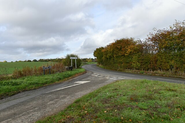
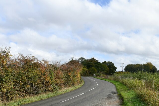
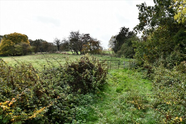
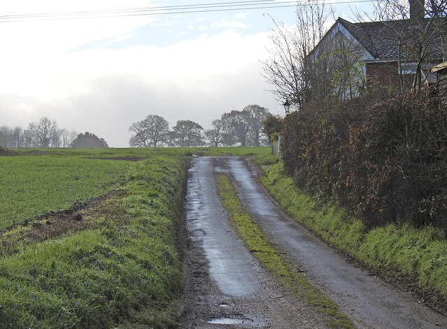
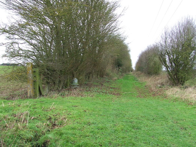
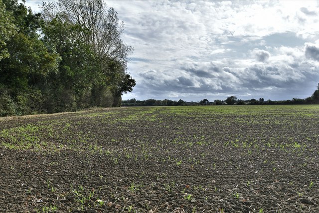
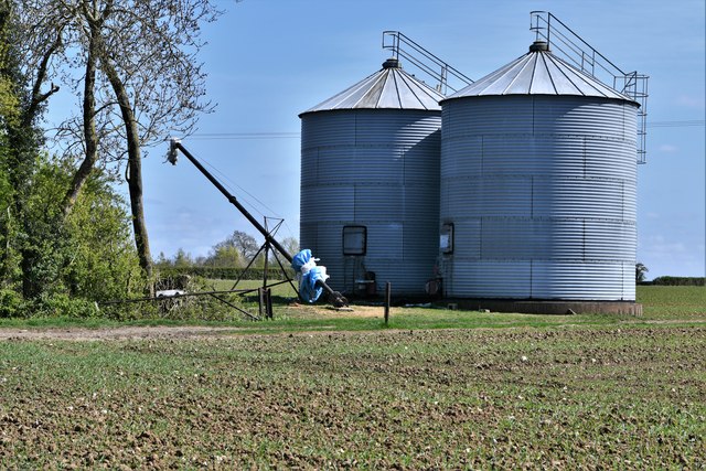
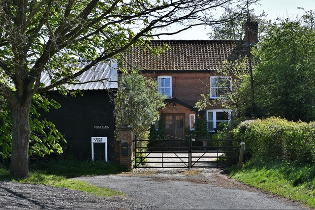
Garlic Street Images
Images are sourced within 2km of 52.400364/1.2471818 or Grid Reference TM2183. Thanks to Geograph Open Source API. All images are credited.


Garlic Street is located at Grid Ref: TM2183 (Lat: 52.400364, Lng: 1.2471818)
Administrative County: Norfolk
District: South Norfolk
Police Authority: Norfolk
What 3 Words
///astounded.copes.shelving. Near Harleston, Norfolk
Nearby Locations
Related Wikis
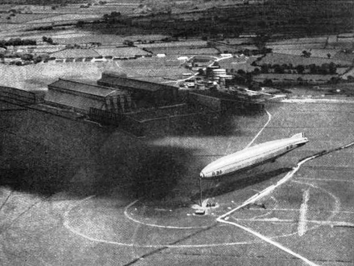
RNAS Pulham
RNAS Pulham (later RAF Pulham) was a Royal Navy Air Service (RNAS) airship station, near Pulham St Mary 18 mi (29 km) south of Norwich, UK. Though land...

Pulham St Mary railway station
Pulham St Mary was a station in Pulham St Mary, Norfolk on the Waveney Valley Line which is now closed. The station has been demolished. == References... ==

Pulham St Mary
Pulham Saint Mary is a rural village and civil parish in Norfolk, that lies next to the village of Pulham Market. It is situated approximately 8 miles...

Needham, Norfolk
Needham is a small village in Norfolk, England. It covers an area of 4.69 km2 (1.81 sq mi) and had a population of 310 in 129 households at the 2001 census...
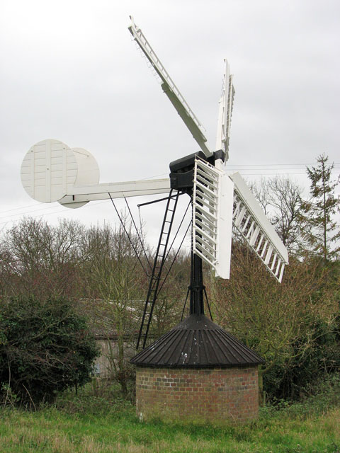
Starston Windpump
Starston Wind Pump is a hollow post mill for pumping water, situated west of the village of Starston in Norfolk, England. The Pump is 330 yards away from...

Starston railway station
Starston was a railway station on the Waveney Valley Line in Norfolk, England. It was open for just ten years before low traffic usage caused its closure...

100th Bomb Group Memorial Museum
The 100th Bomb Group Memorial Museum, located in the original control tower and other remaining buildings of the RAF Thorpe Abbotts airfield east of Diss...

Starston
Starston is a small village and civil parish in Norfolk. It covers an area of 9.02 km2 (3.48 sq mi) and had a population of 321 in 123 households at the...
Nearby Amenities
Located within 500m of 52.400364,1.2471818Have you been to Garlic Street?
Leave your review of Garlic Street below (or comments, questions and feedback).