Blackybale Point
Coastal Feature, Headland, Point in Cornwall
England
Blackybale Point
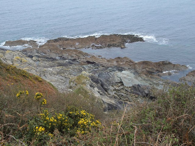
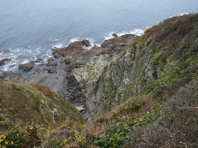
Blackybale Point is a prominent coastal feature located in Cornwall, England. Situated on the southwestern tip of the county, it is a headland that juts out into the Celtic Sea. The point is known for its rugged and dramatic cliffs, offering breathtaking views of the surrounding coastline.
The headland is named after the black rock formations that can be found along its shoreline, giving it a distinctive appearance. These rocks are the result of volcanic activity that occurred millions of years ago, and they provide a stark contrast to the golden sandy beaches found in the nearby area.
Blackybale Point is a popular destination for both locals and tourists who seek to explore its natural beauty. The area is home to a rich diversity of marine life, making it a haven for birdwatchers and nature enthusiasts. Seals and dolphins are often spotted in the waters surrounding the point, adding to its allure.
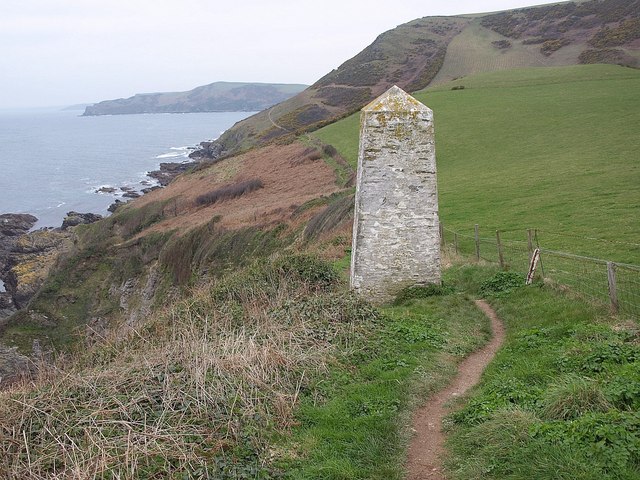
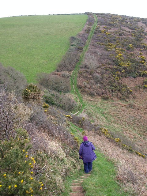
Visitors can access Blackybale Point via a scenic coastal path that winds its way along the cliffs. The path offers stunning views of the sea and the surrounding countryside, making it a popular spot for hikers and walkers. Adventurous souls can also try their hand at rock climbing on the cliffs, although caution is advised due to the uneven and sometimes treacherous terrain.
Overall, Blackybale Point is a captivating coastal feature that showcases the raw beauty of Cornwall's landscape. With its dramatic cliffs, black rock formations, and abundant wildlife, it is a must-visit destination for anyone seeking a true taste of the county's natural wonders.
If you have any feedback on the listing, please let us know in the comments section below.
Blackybale Point Images
Images are sourced within 2km of 50.324449/-4.5472979 or Grid Reference SX1850. Thanks to Geograph Open Source API. All images are credited.


Blackybale Point is located at Grid Ref: SX1850 (Lat: 50.324449, Lng: -4.5472979)
Unitary Authority: Cornwall
Police Authority: Devon and Cornwall
What 3 Words
///ballroom.forgot.landlady. Near Polperro, Cornwall
Nearby Locations
Related Wikis

Windsor, Cornwall
Windsor is a hamlet in Cornwall, England, United Kingdom. It is located half-a-mile east of Lansallos village. == References ==

Lansallos
Lansallos (Latin: Lansalux; Cornish: Lansalwys, meaning St Salwys' church) is a village in the civil parish of Polperro in south Cornwall, England, United...
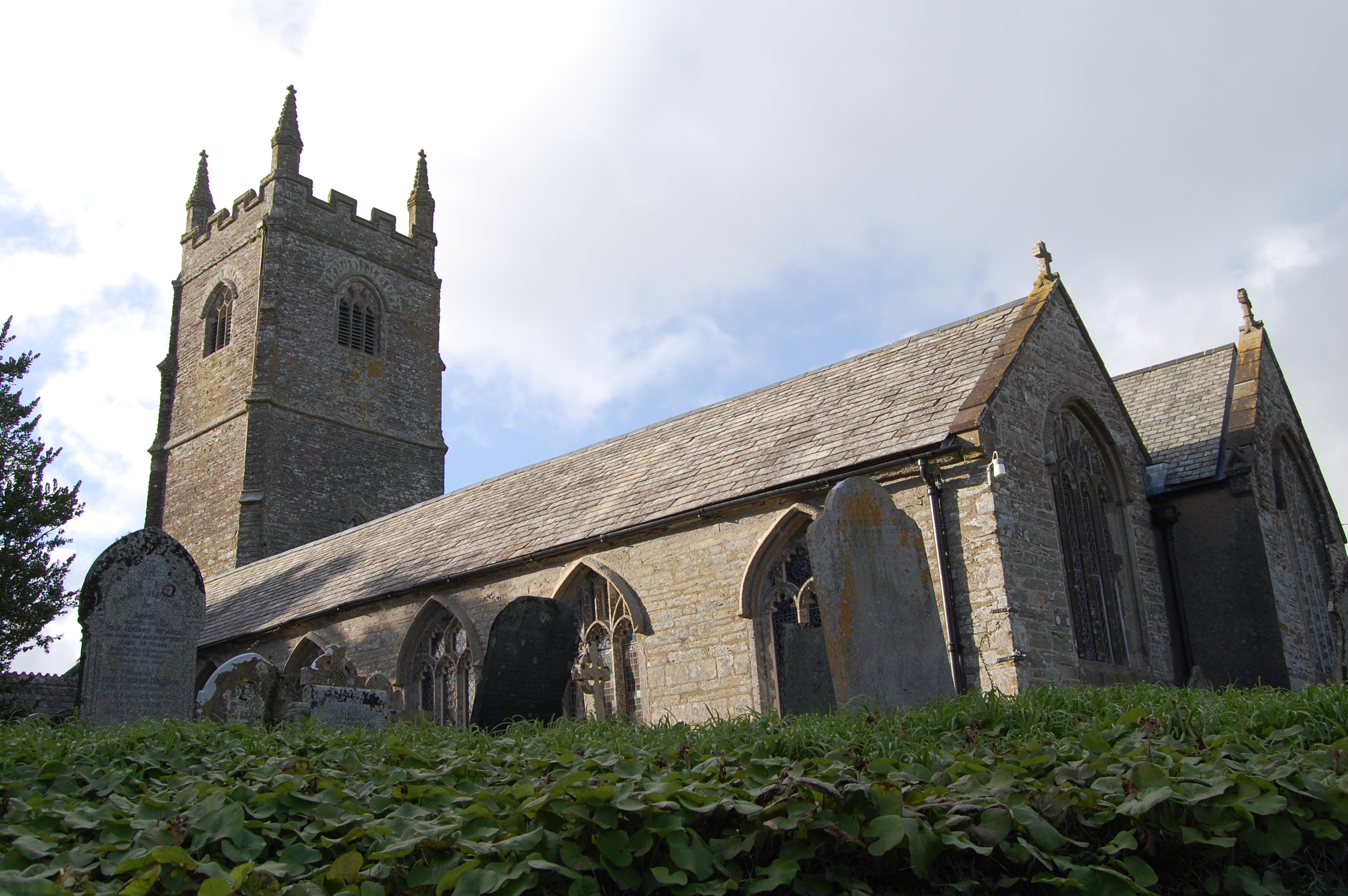
St Ildierna's Church, Lansallos
St Ildierna's Church, Lansallos is a Grade I listed parish church in the Church of England in Lansallos, Cornwall, built in the early 14th century. The...
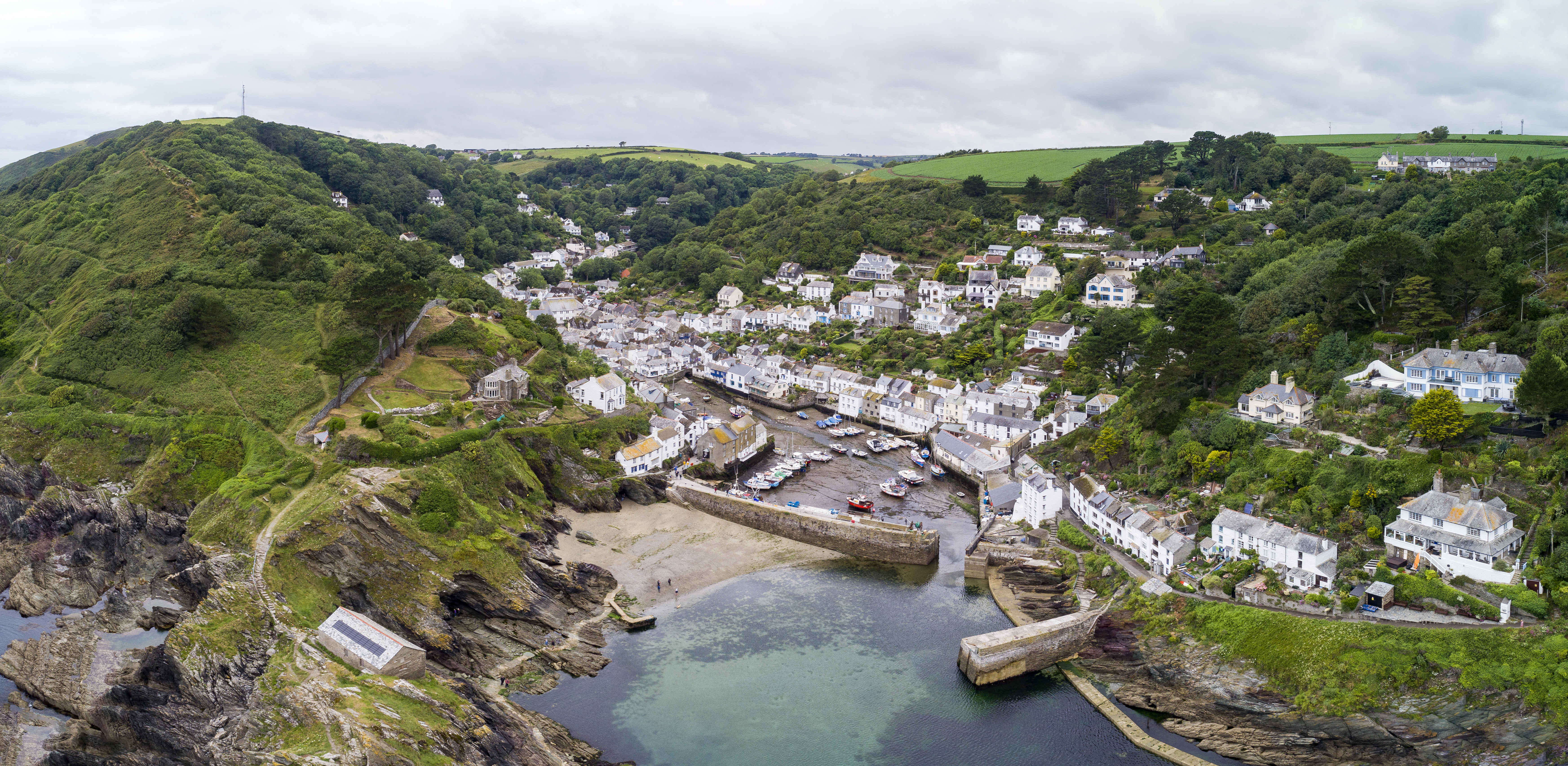
Polperro
Polperro (Cornish: Porthpyra, meaning Pyra's cove) is a large village, civil parish, and fishing harbour within the Polperro Heritage Coastline in south...
Nearby Amenities
Located within 500m of 50.324449,-4.5472979Have you been to Blackybale Point?
Leave your review of Blackybale Point below (or comments, questions and feedback).