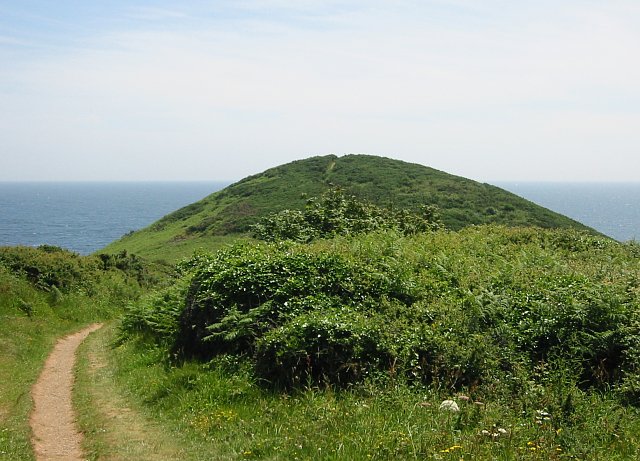
Black Head
Coastal Feature, Headland, Point in Cornwall
England
Black Head

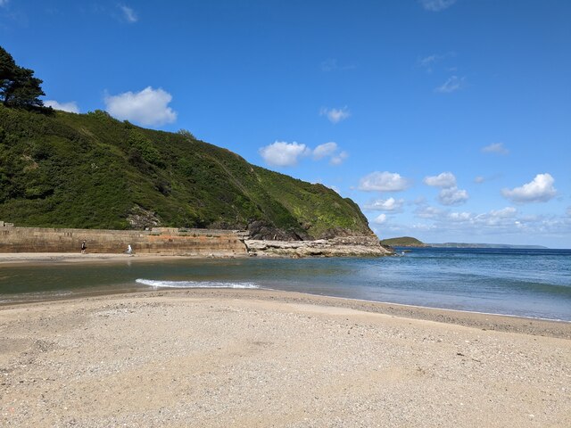
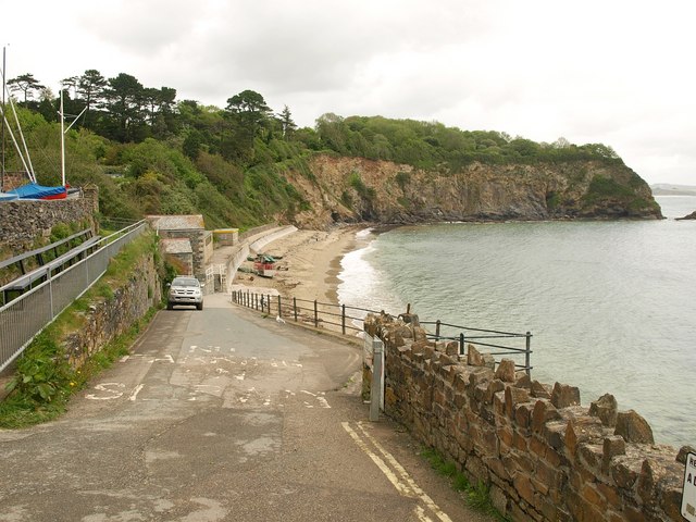
Black Head is a prominent headland located in Cornwall, England. It is situated on the rugged Atlantic coastline, approximately 2 miles northeast of the town of Tintagel. Known for its dramatic cliffs and breathtaking views, Black Head is a popular tourist destination and a significant coastal feature in the region.
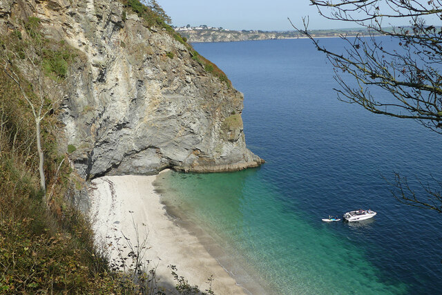
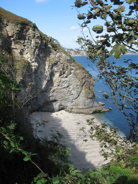
The headland extends into the sea, forming a distinctive point that juts out into the Atlantic Ocean. Rising to an elevation of around 300 feet, it offers commanding vistas of the surrounding coastline and the vast expanse of the ocean. The cliffs at Black Head are composed of sedimentary rock, displaying layers of different colors and textures, which add to its striking visual appeal.
The area surrounding Black Head is rich in wildlife and natural beauty. The headland is home to a diverse range of flora and fauna, including various species of seabirds that nest on the cliffs. Visitors can often spot gulls, fulmars, and even peregrine falcons soaring above the headland. The marine life in the waters around Black Head is also abundant, with seals and dolphins occasionally seen swimming close to the shore.
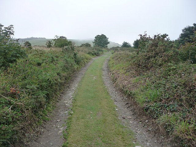
Black Head is easily accessible by foot, and there are well-maintained footpaths that lead visitors along the cliff tops, providing panoramic views of the coastline. The headland is a popular spot for hikers, nature enthusiasts, and photographers, who are captivated by its rugged beauty and the ever-changing moods of the ocean. Whether it's watching the waves crash against the cliffs or witnessing the stunning sunsets over the Atlantic, Black Head offers a truly unforgettable coastal experience.
If you have any feedback on the listing, please let us know in the comments section below.
Black Head Images
Images are sourced within 2km of 50.299514/-4.7542956 or Grid Reference SX0348. Thanks to Geograph Open Source API. All images are credited.


Black Head is located at Grid Ref: SX0348 (Lat: 50.299514, Lng: -4.7542956)
Unitary Authority: Cornwall
Police Authority: Devon and Cornwall
What 3 Words
///deck.users.arching. Near Mevagissey, Cornwall
Nearby Locations
Related Wikis
Black Head (St Austell), Cornwall
Black Head is a headland at the western end of St Austell Bay, in Cornwall, England. It is owned by the National Trust. == Description == It is the site...
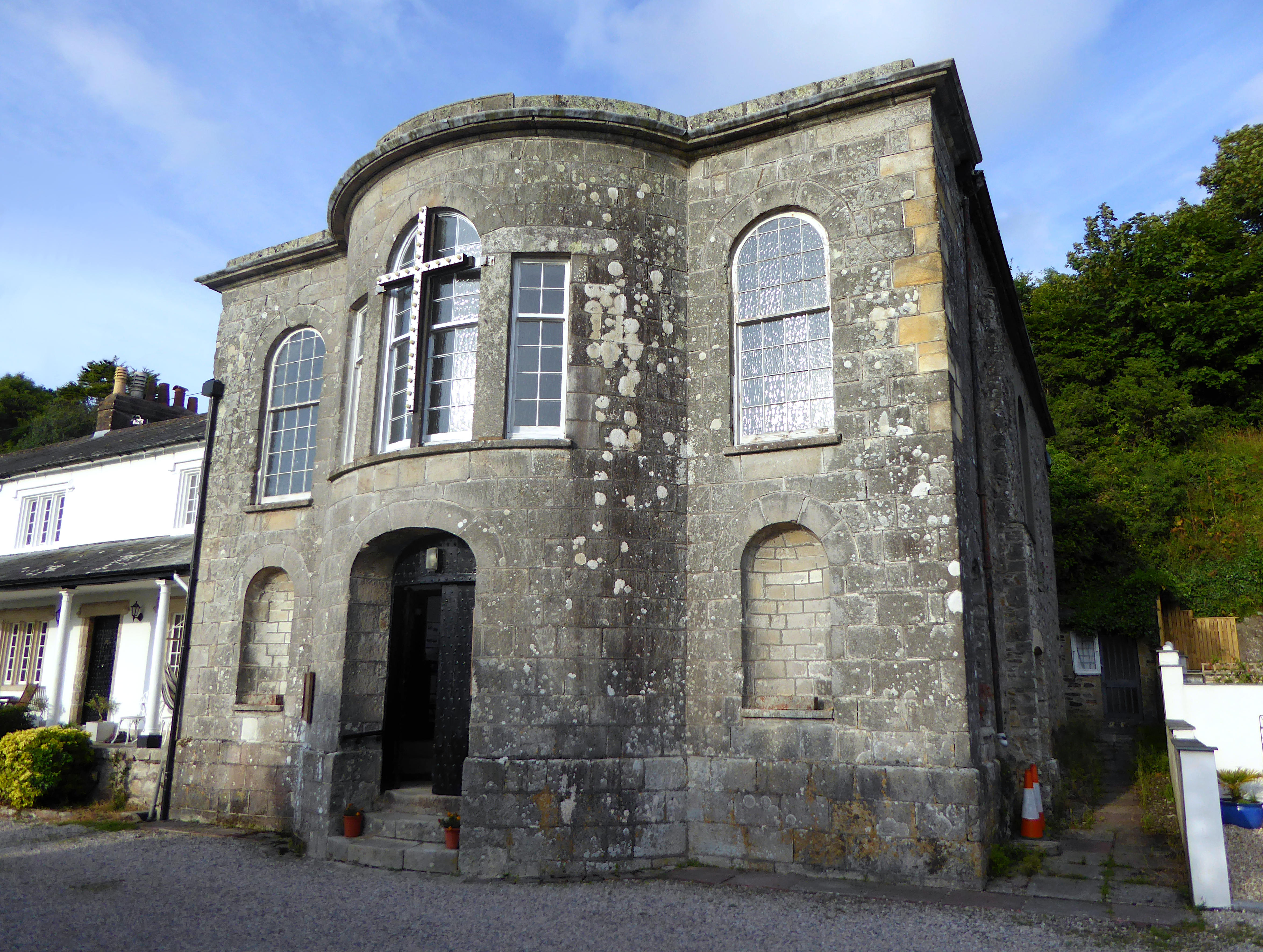
All Saints' Church, Pentewan
All Saints’ Church, Pentewan is a Grade II listed parish church in the Church of England in Pentewan, Cornwall. == History == The church was built in 1821...
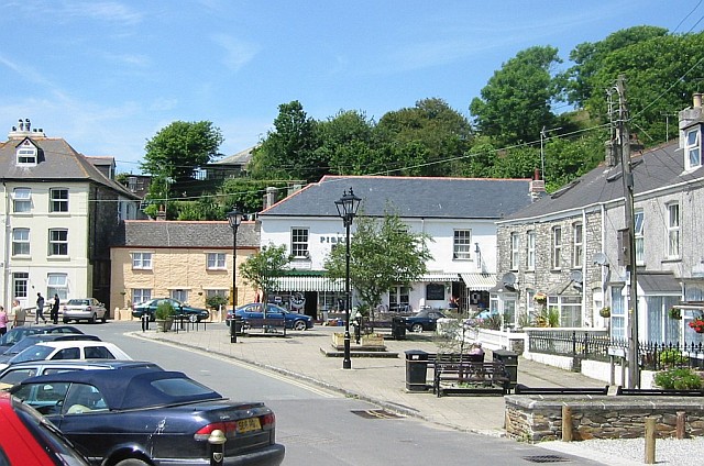
Pentewan
Pentewan (Cornish: Bentewyn, meaning foot of the radiant stream) is a coastal village and former port in south Cornwall, England, United Kingdom. It is...

Pentewan Valley
Pentewan Valley is one of four new civil parishes created on 1 April 2009 for the St Austell district of mid Cornwall, England, United Kingdom. The population...
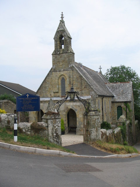
St Levan's Church, Porthpean
St Levan's Church, Porthpean is a Grade II listed parish church in the Church of England in Higher Porthpean, Cornwall. == History == The church was built...
Lower Porthpean
Lower Porthpean is a coastal hamlet in Cornwall, England, UK. It is close to Higher Porthpean and one mile (1.6 km) south of St Austell. == Cornish... ==
Higher Porthpean
Higher Porthpean is a village south of Duporth and contiguous with Lower Porthpean in Cornwall, England. It has a small church, dedicated to St Levan...
St Austell parishes
Four new parishes were created in Cornwall, England, United Kingdom for the St Austell area on 1 April 2009. The parishes are: St Austell Town Council...
Nearby Amenities
Located within 500m of 50.299514,-4.7542956Have you been to Black Head?
Leave your review of Black Head below (or comments, questions and feedback).