Garden Village
Settlement in Yorkshire
England
Garden Village

Garden Village is a quaint and picturesque village located in the county of Yorkshire, England. Situated in the heart of the stunning countryside, Garden Village offers residents and visitors a peaceful and idyllic setting.
The village is known for its beautiful gardens and well-maintained green spaces, which have earned it the name "Garden Village." Lush flowers, neatly trimmed hedges, and vibrant plants adorn the streets, creating a visually stunning environment. The community takes great pride in maintaining these gardens and often hosts gardening competitions and events.
Garden Village is home to a close-knit community that is known for its friendly and welcoming atmosphere. Residents are actively involved in various community initiatives, such as volunteering, organizing local events, and supporting local businesses. The village has a strong sense of community spirit and offers a range of amenities to cater to its residents' needs.
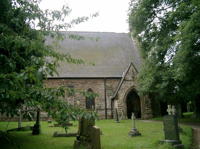
The village boasts a range of charming cottages and traditional houses, adding to its character and appeal. The architecture is a mix of classic and modern styles, blending seamlessly with the natural surroundings. The streets are lined with leafy trees, providing shade during the summer months and creating a picturesque scene in the autumn.
For outdoor enthusiasts, Garden Village offers numerous opportunities for exploration and leisure activities. The surrounding countryside is perfect for walking, hiking, and cycling, with several scenic trails and paths to choose from. There are also several parks and open spaces where residents can relax, have picnics, or engage in recreational activities.
Overall, Garden Village in Yorkshire is a delightful place to live or visit, with its stunning gardens, welcoming community, and beautiful surroundings.
If you have any feedback on the listing, please let us know in the comments section below.
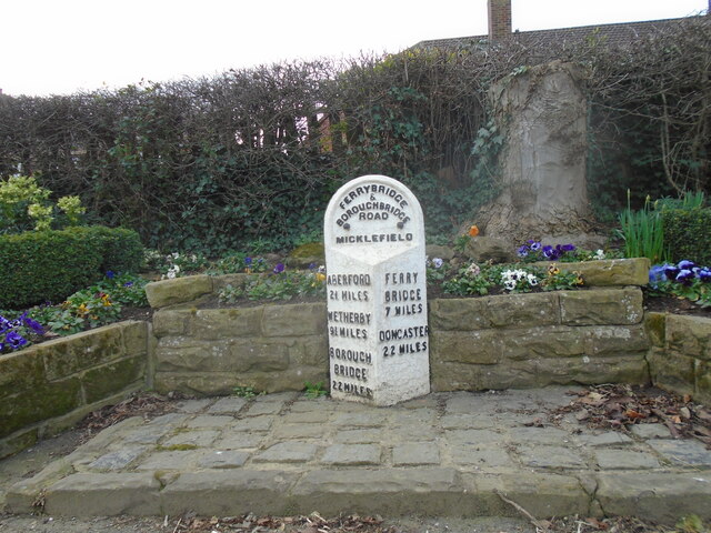
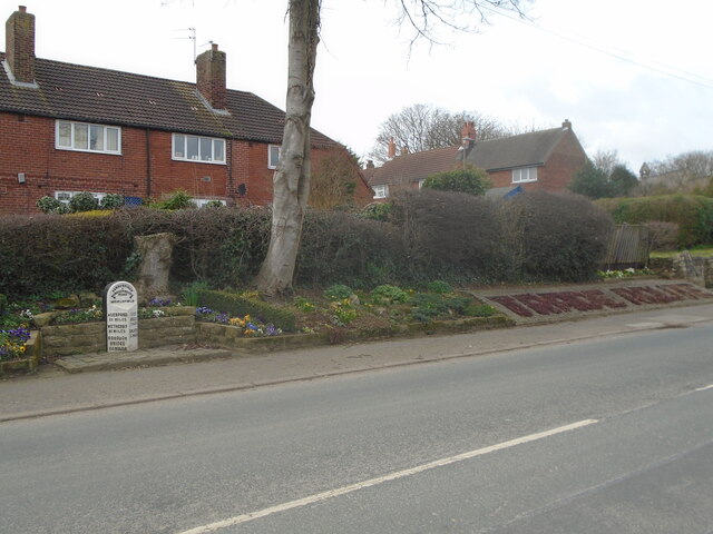
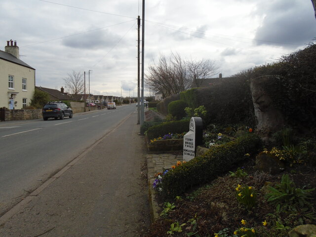
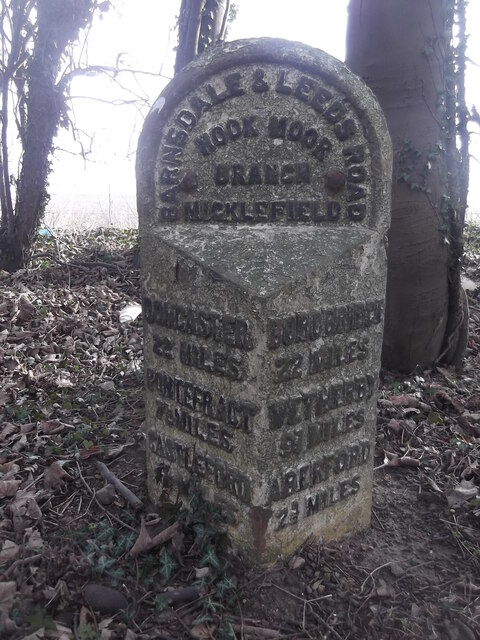
Garden Village Images
Images are sourced within 2km of 53.790958/-1.324472 or Grid Reference SE4432. Thanks to Geograph Open Source API. All images are credited.


Garden Village is located at Grid Ref: SE4432 (Lat: 53.790958, Lng: -1.324472)
Division: West Riding
Unitary Authority: Leeds
Police Authority: West Yorkshire
What 3 Words
///slides.rollover.forwarded. Near Ledsham, West Yorkshire
Nearby Locations
Related Wikis

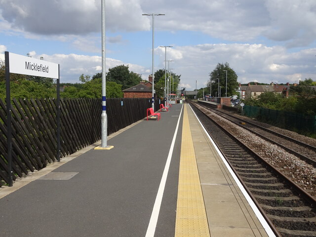
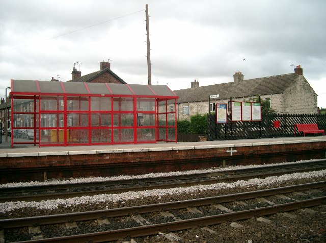
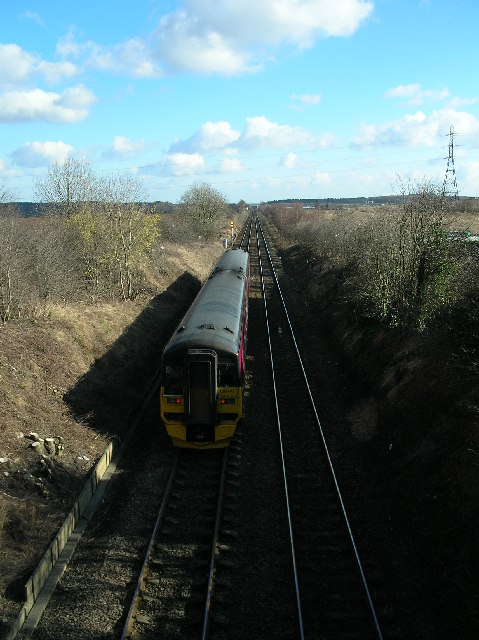
Micklefield railway station
Micklefield railway station serves the village of Micklefield, near Garforth in West Yorkshire, England. It lies on the Selby and York Lines, operated...
Micklefield
Micklefield is a village and civil parish in the City of Leeds in West Yorkshire, England. It neighbours Garforth, Aberford and Brotherton and is close...
Roman Road railway station (Yorkshire)
Roman Road railway station was a station on the Leeds and Selby Railway, near Micklefield, in West Yorkshire, England. The station was one of the shortest...

Sturton Grange
Sturton Grange is a civil parish in the City of Leeds in West Yorkshire, England. It has a population of 417, reducing to 403 at the 2011 Census.Most of...

Newthorpe, North Yorkshire
Newthorpe is a settlement lying alongside the B1222 road, in the civil parish of Huddleston with Newthorpe, to the west of Sherburn in Elmet village and...

Garforth Town A.F.C.
Garforth Town Association Football Club is a football club based in Garforth, West Yorkshire, England. They are members of the Northern Counties East League...

East Garforth railway station
East Garforth railway station serves Garforth in West Yorkshire, England. It is on the Selby Line, and operated by Northern. The station was opened by...

Lotherton Hall
Lotherton Hall is a country house near Aberford in West Yorkshire, England. It is a short distance from the A1(M) motorway, 200 miles (320 km) equidistant...
Nearby Amenities
Located within 500m of 53.790958,-1.324472Have you been to Garden Village?
Leave your review of Garden Village below (or comments, questions and feedback).