Bodrugan's Leap
Coastal Feature, Headland, Point in Cornwall
England
Bodrugan's Leap
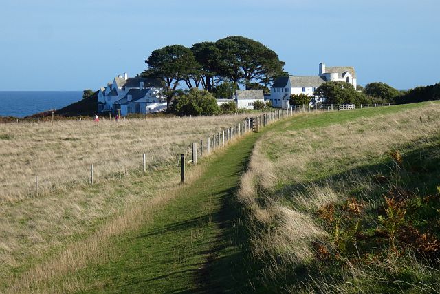
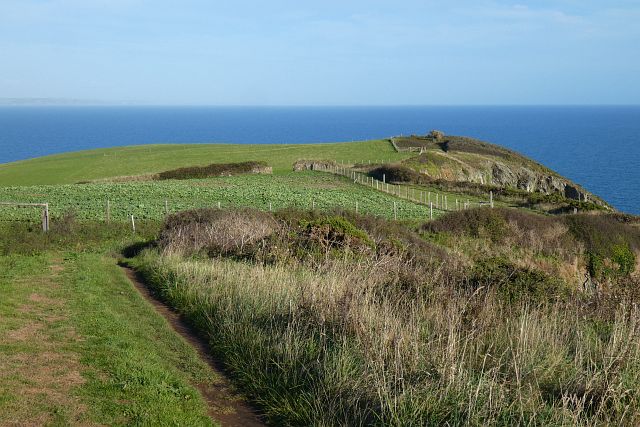
Bodrugan's Leap is a prominent coastal feature located in Cornwall, England. Situated on the southern coast, it is a headland that juts out into the Atlantic Ocean, providing breathtaking panoramic views of the surrounding landscape. The name Bodrugan's Leap is derived from a local legend that tells the story of a brave warrior who leaped from this cliff to escape his enemies.
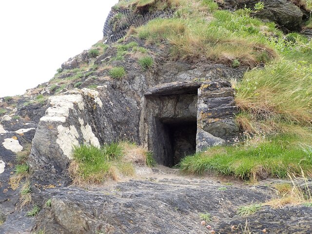
The headland is characterized by its rugged and dramatic cliffs, which rise steeply from the sea below. These towering cliffs are composed of sedimentary rock formations, displaying layers of different colors and textures, adding to the area's natural beauty. The cliff face is also home to various species of seabirds, including gulls, fulmars, and razorbills, making it a popular spot for birdwatching enthusiasts.
Bodrugan's Leap is a prominent landmark along the coastal path, and many visitors come to take in the breathtaking views and explore the surrounding area. The headland offers several walking trails that lead to secluded coves and beaches, providing opportunities for beachcombing and picnicking. The area is also known for its rich marine life, with occasional sightings of seals and dolphins swimming offshore.
Due to its exposed location, Bodrugan's Leap can experience strong winds and rough seas, adding to the sense of adventure and excitement that visitors often experience. Safety precautions should be taken when exploring the area, as the cliffs can be unstable in some places. Nonetheless, Bodrugan's Leap remains a popular destination for nature lovers, hikers, and those seeking a memorable coastal experience in Cornwall.
If you have any feedback on the listing, please let us know in the comments section below.
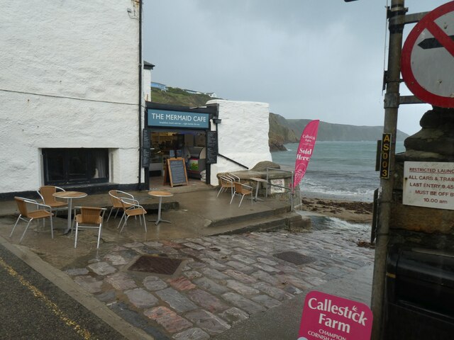
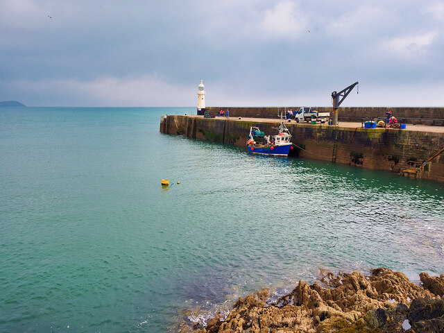
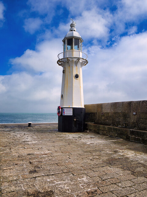
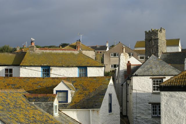
Bodrugan's Leap Images
Images are sourced within 2km of 50.252956/-4.7697068 or Grid Reference SX0242. Thanks to Geograph Open Source API. All images are credited.


Bodrugan's Leap is located at Grid Ref: SX0242 (Lat: 50.252956, Lng: -4.7697068)
Unitary Authority: Cornwall
Police Authority: Devon and Cornwall
What 3 Words
///overheard.gathering.label. Near Mevagissey, Cornwall
Nearby Locations
Related Wikis

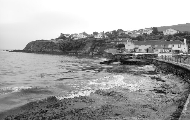
Portmellon
Portmellon (Cornish: Porthmelin) is a coastal settlement in south Cornwall, England, United Kingdom. It is one mile south of Mevagissey and six miles south...
Gorran Haven
Gorran Haven (Cornish: Porthust) is a fishing village, in the civil parish of St Goran, on the south coast of Cornwall, England, UK. It is about 2 miles...
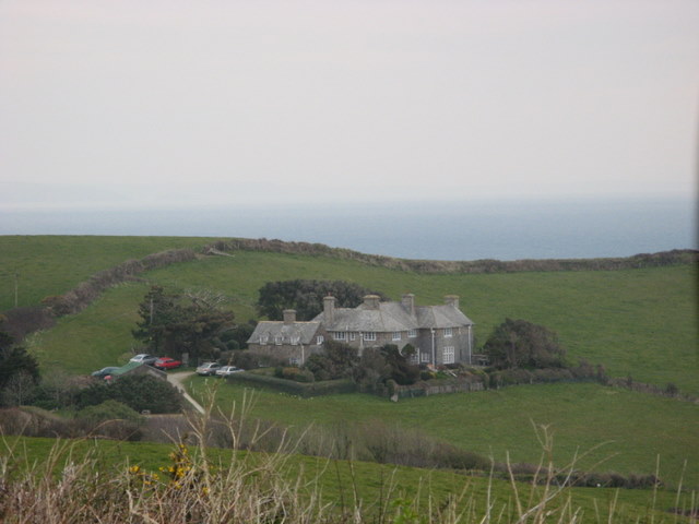
Lamledra
Lamledra is a house near Gorran Haven in Cornwall, England, UK. It is situated immediately above Vault Beach. It was built in 1911 by the barrister, John...
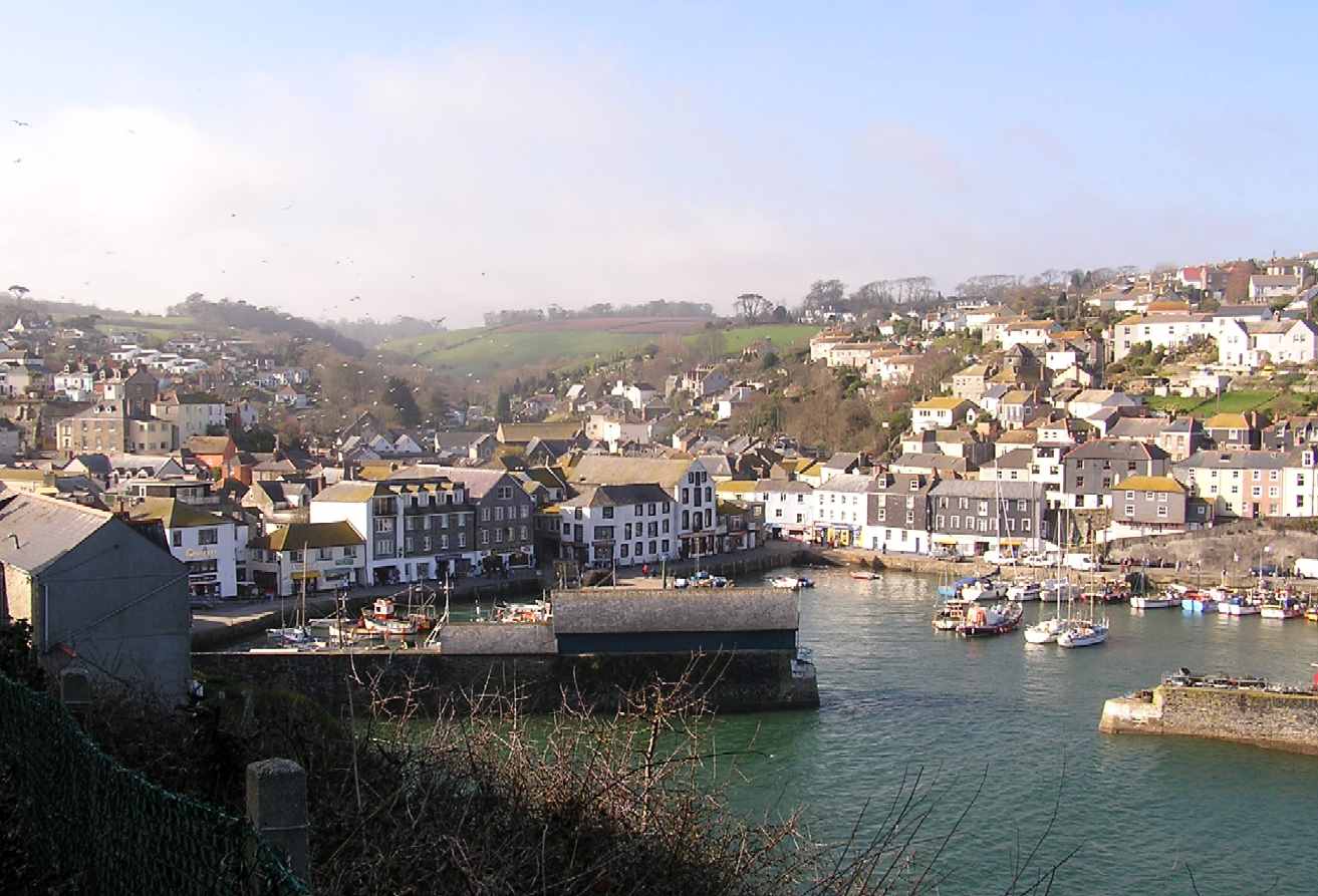
Mevagissey
Mevagissey (; Cornish: Lannvorek) is a village, fishing port and civil parish in Cornwall, England, United Kingdom. The village is situated approximately...

Gorran Churchtown
Gorran Churchtown is a village in the parish of St Goran (where the 2011 census population was included ), Cornwall, England. Gorran Churchtown is situated...

Vault Beach
Vault Beach (also Bow Beach) is situated on the south coast of Cornwall, England, UK, near Gorran Haven. The beach consists mainly of shingle but does...

St Goran
St Goran is a coastal civil parish in Cornwall, England, UK, six miles (10 km) south-southwest of St Austell. The largest settlement in the parish is the...

Penare
Penare is a hamlet near Gorran Haven in Cornwall, England, UK. Penare is situated 1 mile (2 km) south-west of Gorran Haven.Pronunciation is PEA - NAR....
Nearby Amenities
Located within 500m of 50.252956,-4.7697068Have you been to Bodrugan's Leap?
Leave your review of Bodrugan's Leap below (or comments, questions and feedback).