Garden City

Settlement in Flintshire

Wales

Garden City

Water tower for former RAF Sealand site This route runs for 8 miles from Connah's Quay to Chester, it follows the former Mickle Trafford to Dee Marsh railway line. It also forms part of National Cycle Network Route 5.
Water tower for former RAF Sealand site Credit: David Smith

Garden City is a small town located in the county of Flintshire, in northeast Wales. With a population of around 3,500 residents, it is a close-knit community known for its peaceful and scenic surroundings. Garden City is situated on the outskirts of the larger town of Deeside, providing convenient access to a range of amenities and services.

The town takes its name from its pleasant green spaces and well-maintained gardens, which create a welcoming and attractive environment. These communal areas offer residents opportunities for leisure activities, such as picnicking, walking, and exercising. The town's commitment to preserving its natural beauty is evident in its numerous parks and open spaces, which are meticulously cared for by local authorities.

Garden City boasts a range of housing options, from detached houses to modern apartments, catering to different needs and budgets. The town also benefits from a variety of local shops, including grocery stores, convenience stores, and independent retailers. Additionally, Garden City is home to a number of community facilities, such as a community center, sports clubs, and a library, providing residents with opportunities for socializing and engagement.

Transport links in Garden City are well-developed, with regular bus services connecting the town to neighboring areas. The nearby A494 road allows for easy access to major cities such as Chester and Liverpool, making it an ideal location for commuters.

Overall, Garden City offers residents a tranquil and picturesque setting, combined with convenient access to amenities and transport links, making it a desirable place to live in Flintshire.

If you have any feedback on the listing, please let us know in the comments section below.
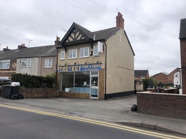
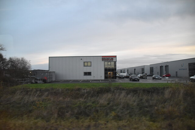
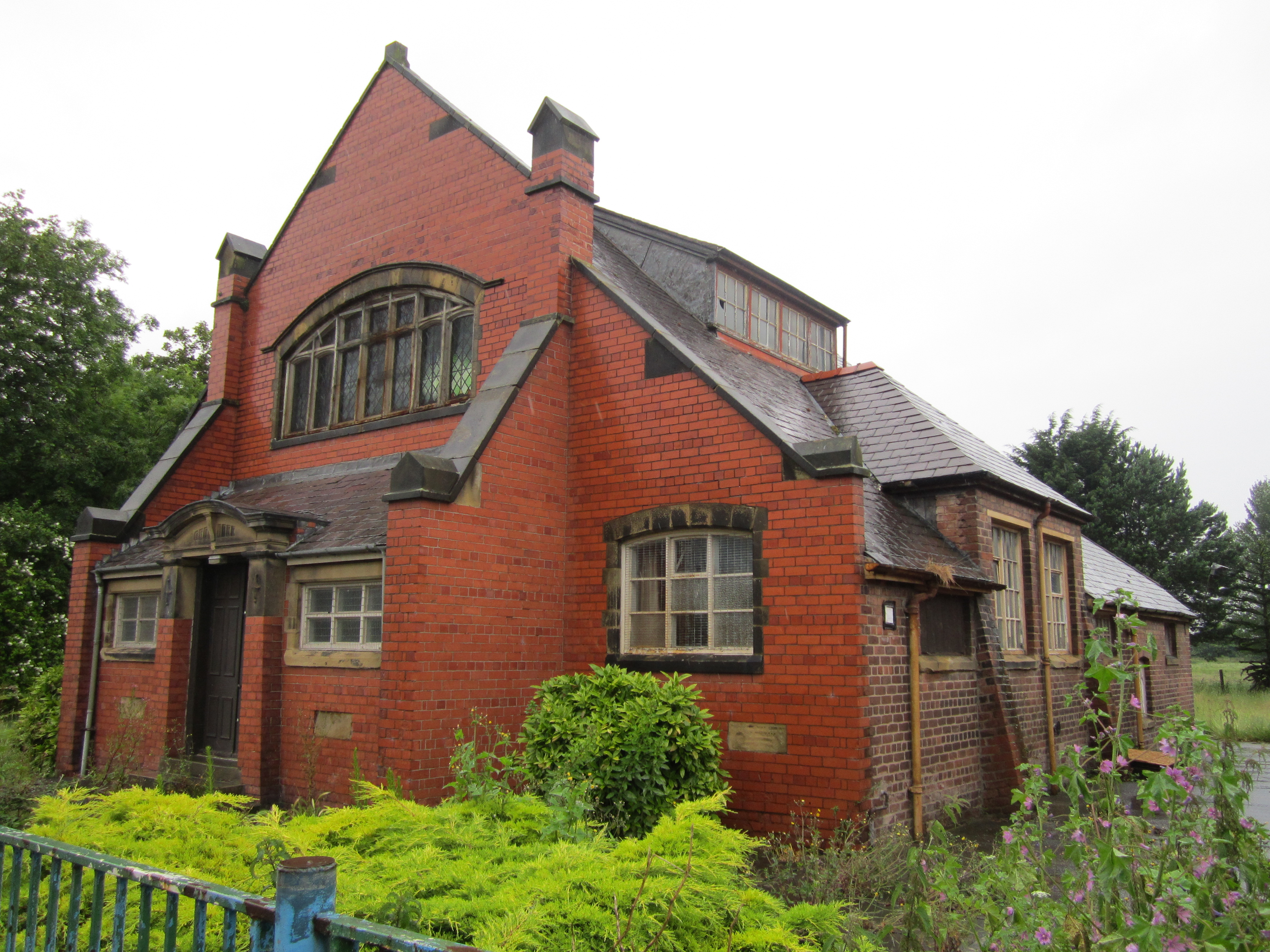
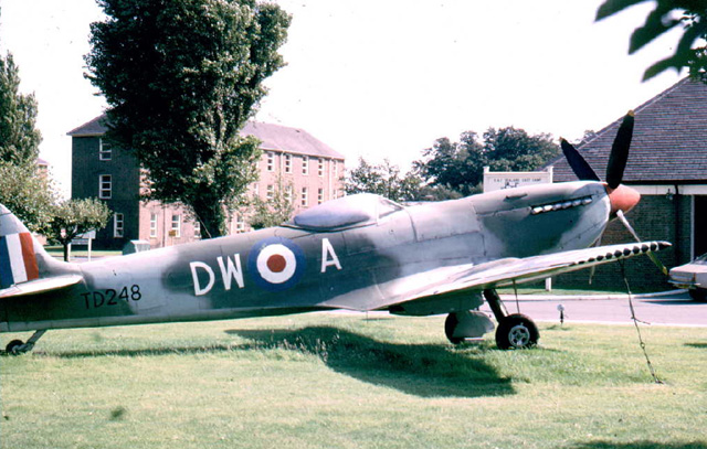
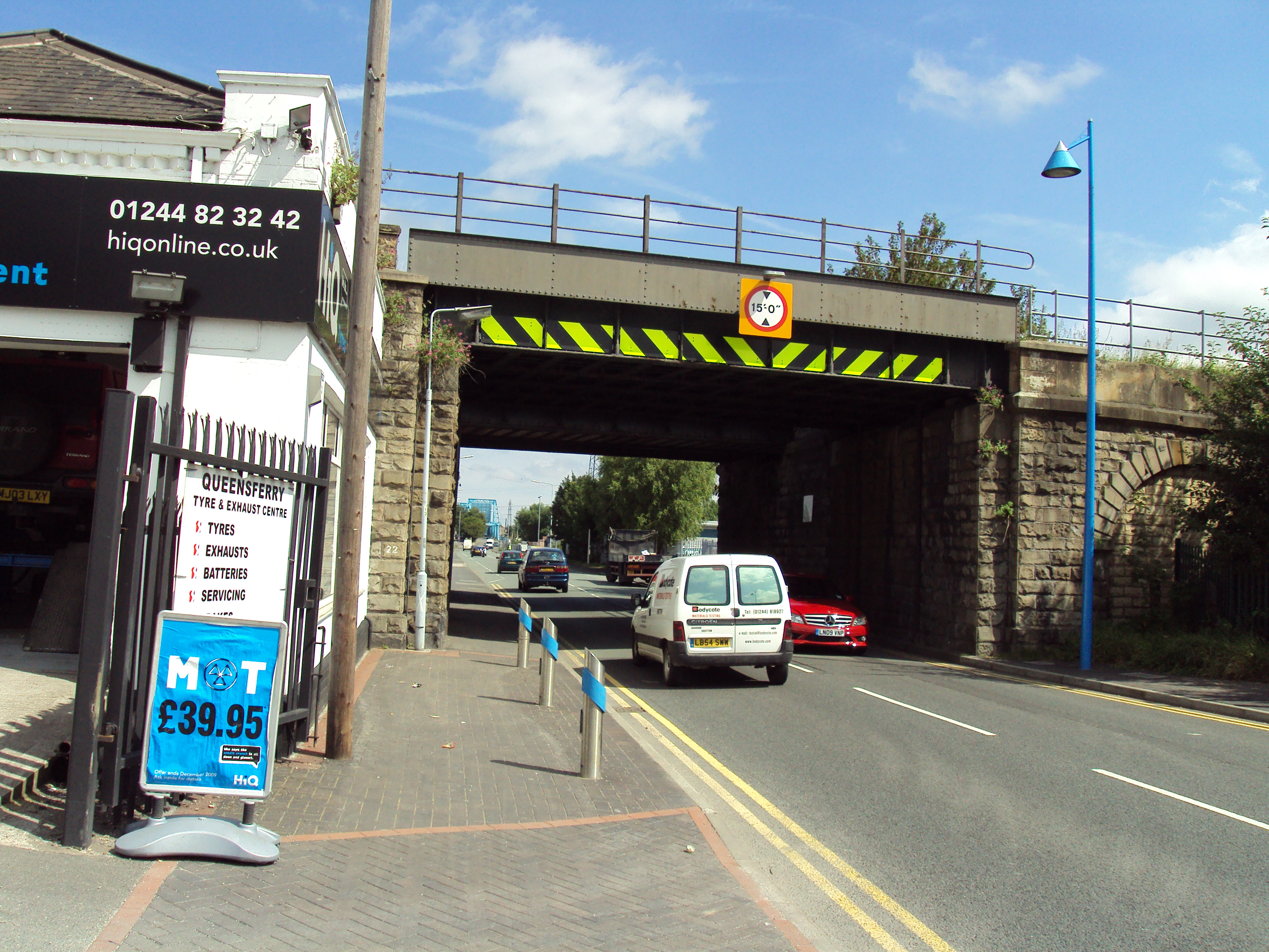
Garden City Images

Images are sourced within 2km of 53.216327/-3.014732 or Grid Reference SJ3269. Thanks to Geograph Open Source API. All images are credited.

Water tower for former RAF Sealand site This route runs for 8 miles from Connah's Quay to Chester, it follows the former Mickle Trafford to Dee Marsh railway line. It also forms part of National Cycle Network Route 5.
Water tower for former RAF Sealand site
This route runs for 8 miles from Connah's Quay to Chester, it follows the former Mickle Trafford to Dee Marsh railway line. It also forms part of National Cycle Network Route 5.
NCN5 passing Deeside Industrial Estate Following the former railway line
NCN5 passing Deeside Industrial Estate
Following the former railway line
Seat by NCN5 south of Deeside Industrial Estate This route runs for 8 miles from Connah's Quay to Chester, it follows the former Mickle Trafford to Dee Marsh railway line. It also forms part of National Cycle Network Route 5.
Seat by NCN5 south of Deeside Industrial Estate
This route runs for 8 miles from Connah's Quay to Chester, it follows the former Mickle Trafford to Dee Marsh railway line. It also forms part of National Cycle Network Route 5.
Sustrans milemarker by NCN5 at Deeside Industrial Estate 1000 Millennium cast iron mileposts were funded by the Royal Bank of Scotland to mark the creation of the National Cycle Network, and found along the cycles routes through the UK.

There are four different types of posts, "Fossil Tree" by John Mills, "The Cockerel" by Iain McColl, "Rowe Type" by Andrew Rowe, and "Tracks" by David Dudgeon. The four artists are from each country of the UK though all posts can be found in all four countries.

Read the National Cycle Network article <a title="https://www.geograph.org.uk/article/National-Cycle-Network" href="https://www.geograph.org.uk/article/National-Cycle-Network">Link</a>
Sustrans milemarker by NCN5 at Deeside Industrial Estate
1000 Millennium cast iron mileposts were funded by the Royal Bank of Scotland to mark the creation of the National Cycle Network, and found along the cycles routes through the UK. There are four different types of posts, "Fossil Tree" by John Mills, "The Cockerel" by Iain McColl, "Rowe Type" by Andrew Rowe, and "Tracks" by David Dudgeon. The four artists are from each country of the UK though all posts can be found in all four countries. Read the National Cycle Network article Link
NCN568 by fence of solar farm, Deeside Industrial Estate The National Cycle Network is a network of cycle routes. It was created by the charity Sustrans <span class="nowrap"><a title="http://www.sustrans.org.uk/what-we-do/national-cycle-network" rel="nofollow ugc noopener" href="http://www.sustrans.org.uk/what-we-do/national-cycle-network">Link</a><img style="margin-left:2px;" alt="External link" title="External link - shift click to open in new window" src="https://s1.geograph.org.uk/img/external.png" width="10" height="10"/></span>  (Sustainable Transport), aided by a National Lottery grant.

Many routes aim to minimise contact with motor traffic, though 70% of them are on roads. In some cases the NCN uses pedestrian routes, disused railways, minor roads, canal towpaths, or traffic-calmed routes in towns and cities.
NCN568 by fence of solar farm, Deeside Industrial Estate
The National Cycle Network is a network of cycle routes. It was created by the charity Sustrans LinkExternal link (Sustainable Transport), aided by a National Lottery grant. Many routes aim to minimise contact with motor traffic, though 70% of them are on roads. In some cases the NCN uses pedestrian routes, disused railways, minor roads, canal towpaths, or traffic-calmed routes in towns and cities.
Road by the fence of Deeside Industrial Estate
Road and cycle route between fences of Deeside Industrial Estate
Pylons and power lines, Deeside Industrial Park The National Cycle Network is a network of cycle routes. It was created by the charity Sustrans <span class="nowrap"><a title="http://www.sustrans.org.uk/what-we-do/national-cycle-network" rel="nofollow ugc noopener" href="http://www.sustrans.org.uk/what-we-do/national-cycle-network">Link</a><img style="margin-left:2px;" alt="External link" title="External link - shift click to open in new window" src="https://s1.geograph.org.uk/img/external.png" width="10" height="10"/></span>  (Sustainable Transport), aided by a National Lottery grant.

Many routes aim to minimise contact with motor traffic, though 70% of them are on roads. In some cases the NCN uses pedestrian routes, disused railways, minor roads, canal towpaths, or traffic-calmed routes in towns and cities.
Pylons and power lines, Deeside Industrial Park
The National Cycle Network is a network of cycle routes. It was created by the charity Sustrans LinkExternal link (Sustainable Transport), aided by a National Lottery grant. Many routes aim to minimise contact with motor traffic, though 70% of them are on roads. In some cases the NCN uses pedestrian routes, disused railways, minor roads, canal towpaths, or traffic-calmed routes in towns and cities.
Queueing for the Covid Vaccination At the (transformed) Deeside Leisure Centre
Queueing for the Covid Vaccination
At the (transformed) Deeside Leisure Centre
The Key Fish and chip shop in Mancot
The Key
Fish and chip shop in Mancot
Jubilee Bridge & R Dee, Queensferry as seen from Hawarden Bridge
Wales Coast Path towards Connah's Quay
Sandycroft Industrial Estate
A494 The A494 runs 62 miles across North Wales from Mollington near Birkenhead to Dolgellau.
<span class="nowrap"><a title="http://www.sabre-roads.org.uk/wiki/index.php?title=A494" rel="nofollow ugc noopener" href="http://www.sabre-roads.org.uk/wiki/index.php?title=A494">Link</a><img style="margin-left:2px;" alt="External link" title="External link - shift click to open in new window" src="https://s1.geograph.org.uk/img/external.png" width="10" height="10"/></span>
A494
The A494 runs 62 miles across North Wales from Mollington near Birkenhead to Dolgellau. LinkExternal link
Shotton Station Shotton station serves the towns of Shotton and Connah's Quays. It is situated where the Borderlands Line crosses the North Wales Coast Line. All passenger services are operated by Transport for Wales, which manages the station.
Shotton is split into two sections: Shotton High Level is above street level and serves the Borderlands Line; Shotton Low Level serves the North Wales Coast Line. Each level has two side platforms and both are double tracked. The tracks of the high and low levels cross each other at right angles.
Wikipedia: <span class="nowrap"><a title="https://en.wikipedia.org/wiki/Shotton_railway_station" rel="nofollow ugc noopener" href="https://en.wikipedia.org/wiki/Shotton_railway_station">Link</a><img style="margin-left:2px;" alt="External link" title="External link - shift click to open in new window" src="https://s1.geograph.org.uk/img/external.png" width="10" height="10"/></span>
Shotton Station
Shotton station serves the towns of Shotton and Connah's Quays. It is situated where the Borderlands Line crosses the North Wales Coast Line. All passenger services are operated by Transport for Wales, which manages the station. Shotton is split into two sections: Shotton High Level is above street level and serves the Borderlands Line; Shotton Low Level serves the North Wales Coast Line. Each level has two side platforms and both are double tracked. The tracks of the high and low levels cross each other at right angles. Wikipedia: LinkExternal link
Show me another place!

Garden City is located at Grid Ref: SJ3269 (Lat: 53.216327, Lng: -3.014732)

Unitary Authority: Flintshire

Police Authority: North Wales

What 3 Words

///sums.makeovers.tune. Near Queensferry, Flintshire

Nearby Locations

Garden City

Related Wikis

Garden City, Flintshire

Garden City (Welsh: Dinas Gardd) is a village in the Sealand area of Flintshire, Wales. The village began as a planned community for workers at the nearby...

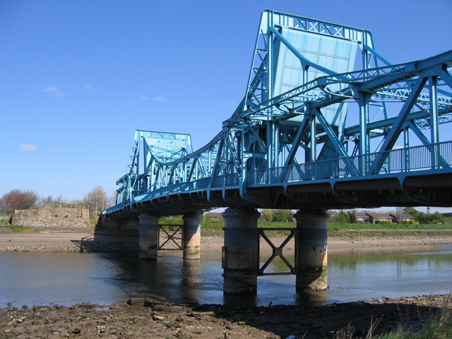
Jubilee Bridge (Queensferry)

The Jubilee Bridge (also known as the Blue Bridge) is a double leaf rolling bascule bridge which spans the River Dee at Queensferry, Wales. == History... ==

MOD Sealand

MoD Sealand (formerly RAF Sealand), is a Ministry of Defence installation in Flintshire, in the northeast corner of Wales, close to the border with England...

Chester Junction Golf Club Platform railway station

Chester Junction Golf Club Platform served Chester Golf Club in Chester, England, from 1896 to 1927 on the Chester & Connah's Quay Railway. == History... ==

Birkenhead Junction Golf Club Platform railway station

Birkenhead Junction Golf Club Platform served Chester Golf Club in Chester, Cheshire, England, from 1896 to 1927 on the Borderlands line. == History... ==

Chester Golf Club Halt railway station

Chester Golf Club Halt served Chester Golf Club in Chester, Cheshire, England, from 1891 to 1896 on the Borderlands line. == History == The station was...

Queensferry railway station

Queensferry railway station was a railway station located in Queensferry, Flintshire, Wales on the south bank of the canalised section of the River Dee...

Sealand railway station

Sealand was the final station on the former Chester & Connah's Quay Railway between Chester Northgate and Hawarden Bridge. Services also passed through...

Nearby Amenities

Located within 500m of 53.216327,-3.014732
Library
Garden City Library
Lat/Long: 53.2153336/-3.0107871
Place Of Worship
Garden City United Reformed Church
Demolished Amenity: place_of_worship
Religion: christian
Lat/Long: 53.2125331/-3.0133003
Fast Food
Two Dragons
Addr Housenumber: 34
Addr Postcode: CH5 2RA
Addr Street: Welsh Road
Cuisine: chinese
Fhrs Id: 1042556
Source Addr: FHRS Open Data
Lat/Long: 53.2129242/-3.0109037
Bus Stop
Garden City, Welsh Road / Sealand School
Bench: no
Bus: yes
Naptan AtcoCode: 5120AWF80658
Naptan Bearing: NE
Naptan CommonName: Sealand School
Naptan Indicator: before
Naptan Landmark: Sealand County Primary School
Naptan LocalityName: Garden City
Naptan NaptanCode: fliatam
Naptan PlusbusZoneRef: SHOTTON
Naptan Street: Welsh Road
Naptan Verified: no
Public Transport: platform
Public Transport Version: 2
Shelter: yes
Source: naptan_import
Lat/Long: 53.2124983/-3.0129283
Shop: car_repair
Lat/Long: 53.2125342/-3.0119212
Shop: car
Lat/Long: 53.212587/-3.0114783
Bus Stop
Garden City, Welsh Road / Sealand School
Bus: yes
Naptan AtcoCode: 5120WDB22102
Naptan Bearing: SW
Naptan CommonName: Sealand School
Naptan Indicator: opp
Naptan Landmark: Sealand County Primary School
Naptan LocalityName: Garden City
Naptan NaptanCode: flijtda
Naptan PlusbusZoneRef: SHOTTON
Naptan Street: Welsh Road
Naptan Verified: no
Public Transport: platform
Public Transport Version: 2
Shelter: yes
Source: naptan_import
Lat/Long: 53.212758/-3.011816
Shop: hairdresser
Lat/Long: 53.2129396/-3.0108348
Fast Food
Cuisine: sandwich
Lat/Long: 53.2129575/-3.0107533
Power: tower
Lat/Long: 53.2125732/-3.0187401
Direction: 150
Generator Method: photovoltaic
Generator Output Electricity: yes
Generator Solar Modules: 14
Generator Source: solar
Generator Type: solar_photovoltaic_panel
Location: roof
Power: generator
Lat/Long: 53.2149814/-3.0080173
Direction: 150
Generator Method: photovoltaic
Generator Output Electricity: yes
Generator Solar Modules: 14
Generator Source: solar
Generator Type: solar_photovoltaic_panel
Location: roof
Power: generator
Lat/Long: 53.2148642/-3.0082561
Direction: 150
Generator Method: photovoltaic
Generator Output Electricity: yes
Generator Solar Modules: 16
Generator Source: solar
Generator Type: solar_photovoltaic_panel
Location: roof
Power: generator
Lat/Long: 53.2151662/-3.0082828
Direction: 145
Generator Method: photovoltaic
Generator Output Electricity: yes
Generator Solar Modules: 10
Generator Source: solar
Generator Type: solar_photovoltaic_panel
Location: roof
Power: generator
Lat/Long: 53.215042/-3.0137011
Direction: 145
Generator Method: photovoltaic
Generator Output Electricity: yes
Generator Solar Modules: 11
Generator Source: solar
Generator Type: solar_photovoltaic_panel
Location: roof
Power: generator
Lat/Long: 53.2154357/-3.0138168
Direction: WSW
Generator Method: photovoltaic
Generator Output Electricity: yes
Generator Solar Modules: 8
Generator Source: solar
Generator Type: solar_photovoltaic_panel
Location: roof
Power: generator
Lat/Long: 53.2168812/-3.0122518
Direction: 145
Generator Method: photovoltaic
Generator Output Electricity: yes
Generator Solar Modules: 15
Generator Source: solar
Generator Type: solar_photovoltaic_panel
Location: roof
Power: generator
Lat/Long: 53.2156499/-3.0083498
Direction: 145
Generator Method: photovoltaic
Generator Output Electricity: yes
Generator Solar Modules: 15
Generator Source: solar
Generator Type: solar_photovoltaic_panel
Location: roof
Power: generator
Lat/Long: 53.215623/-3.008431
Direction: SSW
Generator Method: photovoltaic
Generator Output Electricity: yes
Generator Solar Modules: 12
Generator Source: solar
Generator Type: solar_photovoltaic_panel
Location: roof
Power: generator
Lat/Long: 53.2166722/-3.0087046
Direction: 150
Generator Method: photovoltaic
Generator Output Electricity: yes
Generator Solar Modules: 18
Generator Source: solar
Generator Type: solar_photovoltaic_panel
Location: roof
Power: generator
Lat/Long: 53.2163185/-3.0092632
Direction: SSE
Generator Method: photovoltaic
Generator Output Electricity: yes
Generator Solar Modules: 18
Generator Source: solar
Generator Type: solar_photovoltaic_panel
Location: roof
Power: generator
Lat/Long: 53.2129397/-3.0121144
Bus Stop
Garden City, Welsh Road / Post Office
Bus: yes
Naptan AtcoCode: 5120AWF80669
Naptan Bearing: NE
Naptan CommonName: Post Office
Naptan Crossing: Riverside Park
Naptan Indicator: o/s
Naptan Landmark: Garden City Post Office
Naptan LocalityName: Garden City
Naptan NaptanCode: fliatad
Naptan PlusbusZoneRef: SHOTTON
Naptan Street: Welsh Road
Public Transport: platform
Public Transport Version: 2
Source: naptan_import
Lat/Long: 53.2136173/-3.0097168
Direction: 145
Generator Method: photovoltaic
Generator Output Electricity: yes
Generator Solar Modules: 8
Generator Source: solar
Generator Type: solar_photovoltaic_panel
Location: roof
Power: generator
Lat/Long: 53.2156182/-3.011363
Direction: 145
Generator Method: photovoltaic
Generator Output Electricity: yes
Generator Solar Modules: 8
Generator Source: solar
Generator Type: solar_photovoltaic_panel
Location: roof
Power: generator
Lat/Long: 53.215513/-3.0112651
Direction: 145
Generator Method: photovoltaic
Generator Output Electricity: yes
Generator Solar Modules: 8
Generator Source: solar
Generator Type: solar_photovoltaic_panel
Location: roof
Power: generator
Lat/Long: 53.215374/-3.0111296
Direction: 145
Generator Method: photovoltaic
Generator Output Electricity: yes
Generator Solar Modules: 4
Generator Source: solar
Generator Type: solar_photovoltaic_panel
Location: roof
Power: generator
Lat/Long: 53.2153515/-3.0106616
Direction: 145
Generator Method: photovoltaic
Generator Output Electricity: yes
Generator Solar Modules: 4
Generator Source: solar
Generator Type: solar_photovoltaic_panel
Location: roof
Power: generator
Lat/Long: 53.2152985/-3.0108105
Direction: 145
Generator Method: photovoltaic
Generator Output Electricity: yes
Generator Solar Modules: 8
Generator Source: solar
Generator Type: solar_photovoltaic_panel
Location: roof
Power: generator
Lat/Long: 53.2152263/-3.0109888
Direction: WSW
Generator Method: photovoltaic
Generator Output Electricity: yes
Generator Solar Modules: 5
Generator Source: solar
Generator Type: solar_photovoltaic_panel
Location: roof
Power: generator
Lat/Long: 53.2169384/-3.0122964
Stop
Direction: forward
Lat/Long: 53.2141413/-3.0183127
Power: pole
Lat/Long: 53.2150113/-3.0202631
Power: pole
Lat/Long: 53.2145033/-3.0189319
Power: pole
Lat/Long: 53.2141295/-3.017947
Power: pole
Lat/Long: 53.2155223/-3.0216162
Power: pole
Lat/Long: 53.2137338/-3.0168651
Power: pole
Lat/Long: 53.2132912/-3.0156382
Power: pole
Lat/Long: 53.212935/-3.0147107
Power: pole
Lat/Long: 53.2126274/-3.0138164
Barrier: block
Lat/Long: 53.214094/-3.0184508
Traffic Calming: table
Lat/Long: 53.2122906/-3.0133518
Crossing
Crossing: traffic_signals
Crossing Island: no
Tactile Paving: yes
Lat/Long: 53.2129984/-3.0113199
Traffic Calming: table
Lat/Long: 53.2133699/-3.0102437
Traffic Calming: table
Lat/Long: 53.2138957/-3.0126787
Traffic Calming: table
Lat/Long: 53.2129871/-3.010384
The data included in this document is from www.openstreetmap.org. The data is made available under ODbL.

Have you been to Garden City?

Leave your review of Garden City below (or comments, questions and feedback).