Hartriza Point
Coastal Feature, Headland, Point in Cornwall
England
Hartriza Point
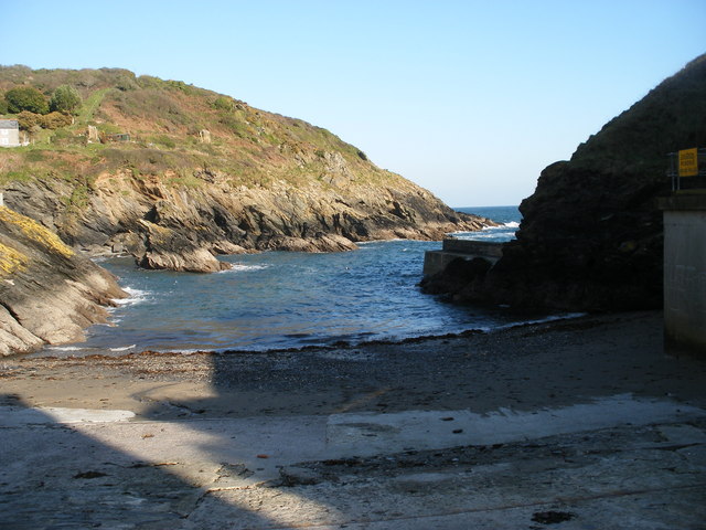
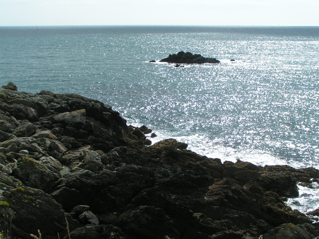
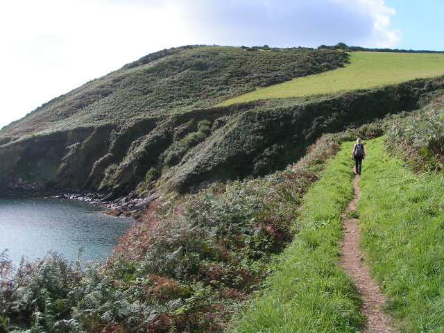
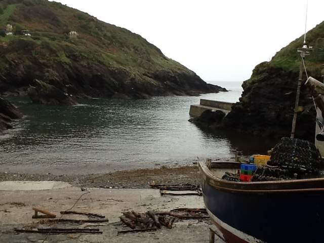
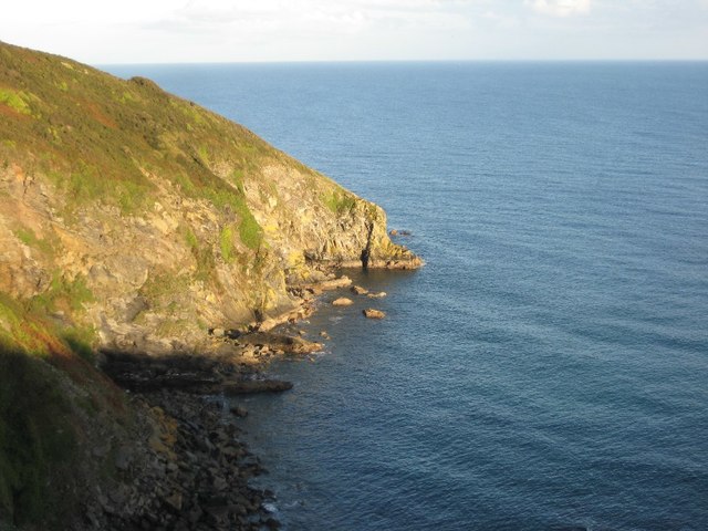
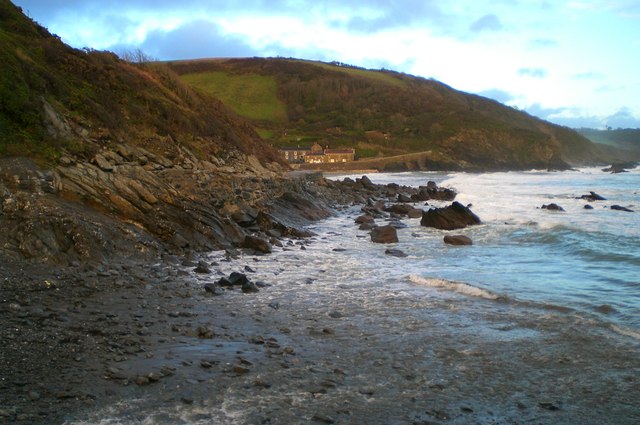
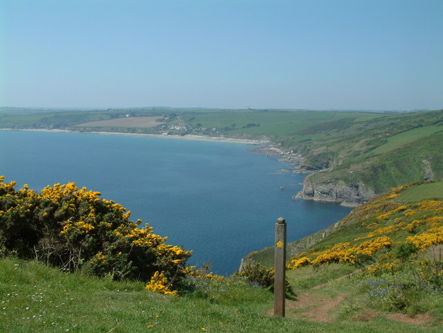
Hartriza Point is a prominent coastal feature located in Cornwall, England. Situated on the southwestern coast, it is a captivating headland that stretches out into the Atlantic Ocean. With its striking cliffs and rugged terrain, Hartriza Point offers breathtaking views of the surrounding landscape.
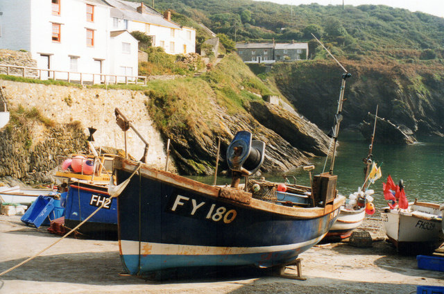
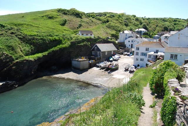
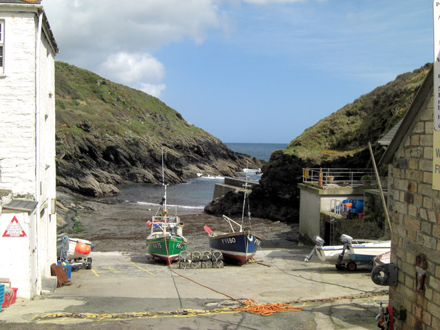
The point is known for its dramatic geology, with towering cliffs made up of sedimentary rocks that have been shaped by centuries of erosion. These cliffs provide a nesting site for various seabird species, including gulls, fulmars, and puffins, making it a popular spot for birdwatchers and nature enthusiasts.
The headland is also home to a diverse range of flora and fauna, with wildflowers and grasses adorning the coastal slopes. Visitors can explore the area on foot along the coastal path, which winds its way around the point, offering stunning vistas of the turquoise waters below.
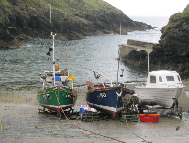
Hartriza Point is a haven for outdoor activities such as hiking, rock climbing, and fishing. Its rocky coastline provides ample opportunities for anglers to cast their lines and try their luck at catching sea bass, mackerel, or even the occasional shark.
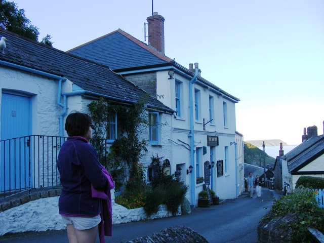
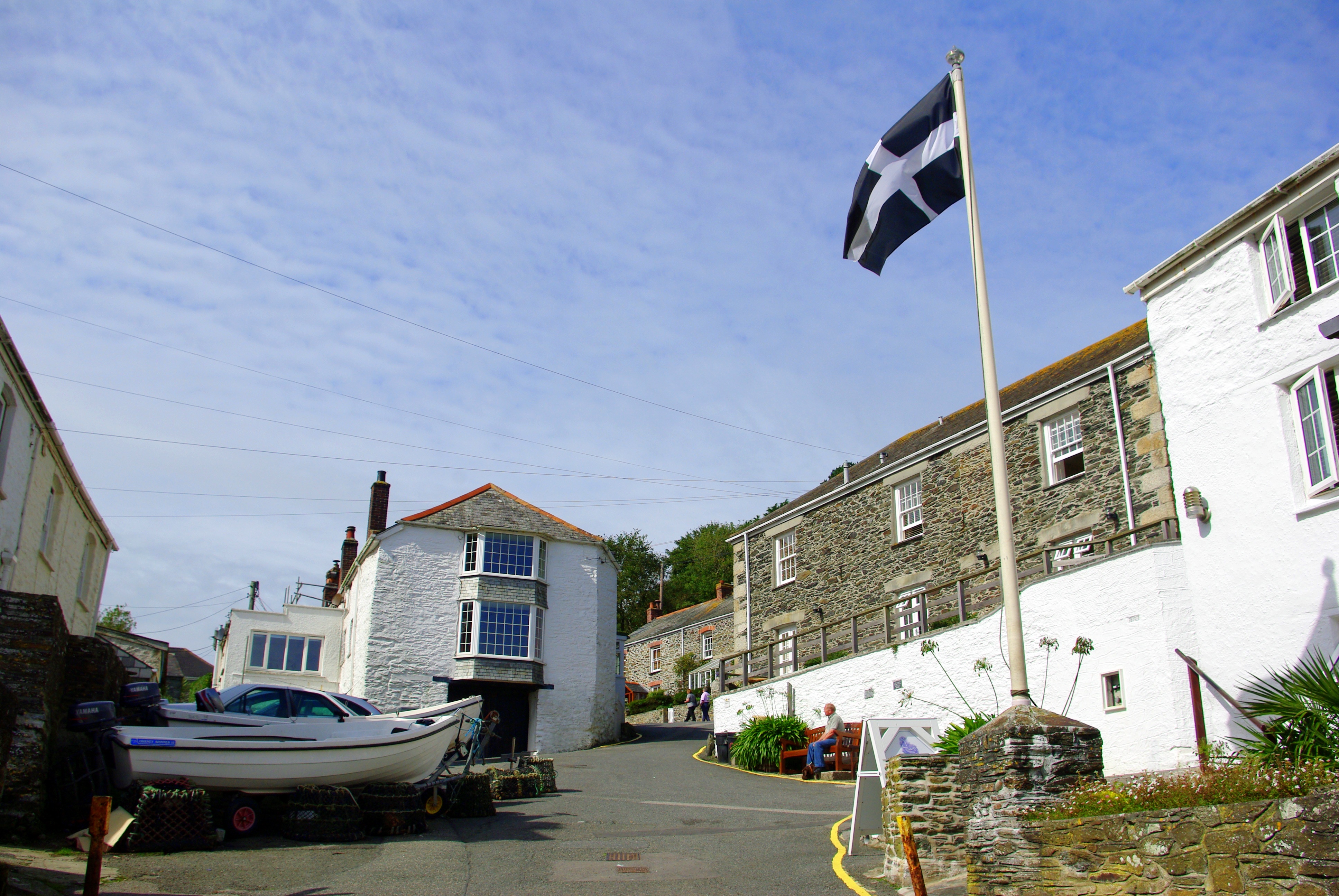
The headland is easily accessible, with a car park nearby and well-maintained footpaths leading to the point. There are also picnic areas where visitors can relax and enjoy the picturesque surroundings.
Whether it's the striking cliffs, abundant wildlife, or thrilling outdoor activities, Hartriza Point is a must-visit destination for those seeking a true taste of Cornwall's natural beauty.
If you have any feedback on the listing, please let us know in the comments section below.
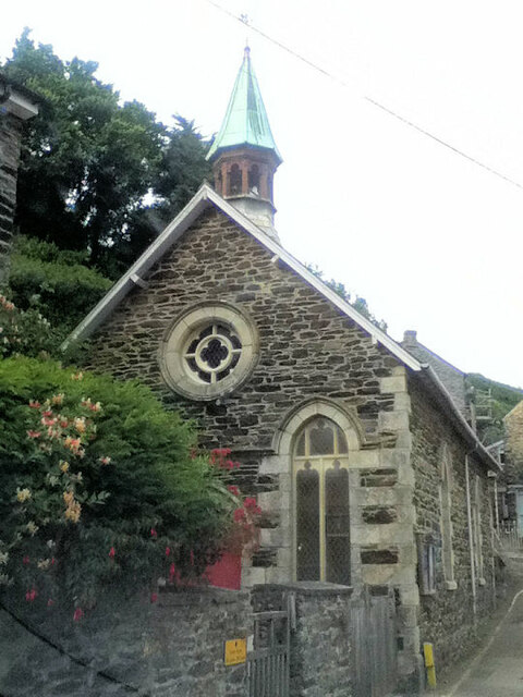
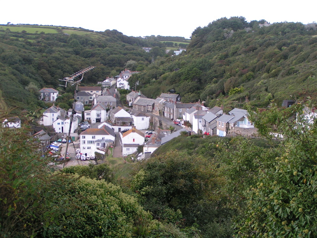
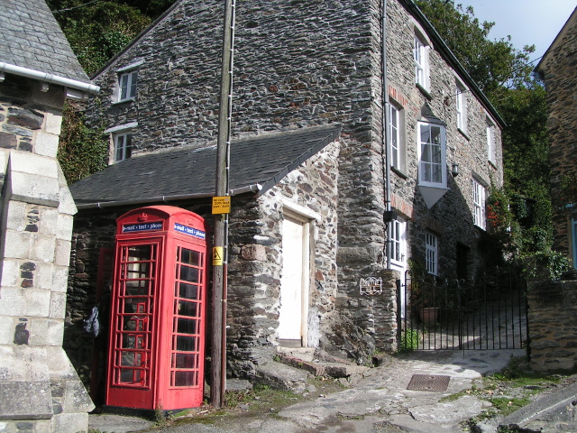
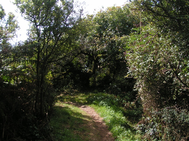
Hartriza Point Images
Images are sourced within 2km of 50.221286/-4.8852088 or Grid Reference SW9439. Thanks to Geograph Open Source API. All images are credited.


Hartriza Point is located at Grid Ref: SW9439 (Lat: 50.221286, Lng: -4.8852088)
Unitary Authority: Cornwall
Police Authority: Devon and Cornwall
What 3 Words
///whistling.snappy.braced. Near Tregoney, Cornwall
Nearby Locations
Related Wikis
Portloe
Portloe (Cornish: Porthlogh) is a small village in Cornwall, England, on the Roseland Peninsula, in the civil parish of Veryan. Portloe harbours two full...

Treviskey
Treviskey is a hamlet in the parish of Veryan, in the county of Cornwall in south-west England. == References ==
Trewartha, Cornwall
Trewartha is a hamlet in the civil parish of Veryan on the Roseland Peninsula, Cornwall, England, United Kingdom.Trewartha is also the name of places in...
Portholland
Portholland (Cornish: Porthalan) is a settlement in Cornwall, England, UK. It is on the south coast in the civil parish of St Michael Caerhays. The name...

Cuckoo Rock to Turbot Point
Cuckoo Rock to Turbot Point is a coastal Geological Conservation Review site and Site of Special Scientific Interest (SSSI) in Cornwall, England, UK, noted...
St Michael Caerhays
St Michael Caerhays (Cornish: Lannvihal) is a civil parish and village in Cornwall, England, United Kingdom. The village is about seven miles (11 km) south...

Veryan
Veryan (Cornish: Elerghi) is a coastal civil parish and village on the Roseland Peninsula in Cornwall, England, United Kingdom. The village has been described...
Gerrans Bay to Camels Cove
Gerrans Bay to Camels Cove is a coastal Site of Special Scientific Interest (SSSI) in south Cornwall, England, UK, noted for both its biological and geological...
Nearby Amenities
Located within 500m of 50.221286,-4.8852088Have you been to Hartriza Point?
Leave your review of Hartriza Point below (or comments, questions and feedback).