Blouth Point

Coastal Feature, Headland, Point in Cornwall

England

Blouth Point

Holy Well and Cross St Symphorian Church
Holy Well and Cross St Symphorian Church Credit: Paul Barnett

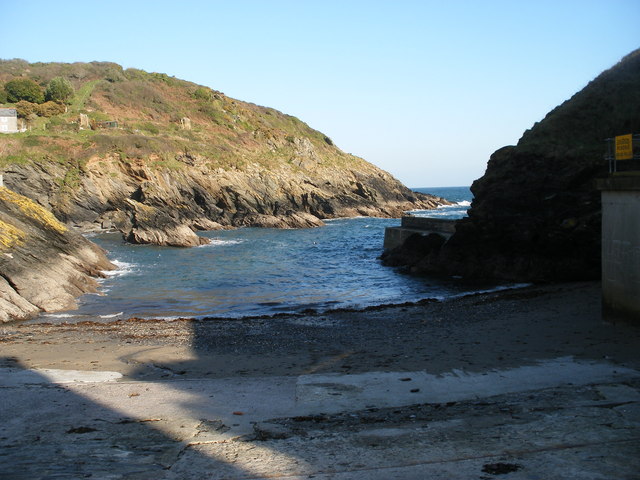
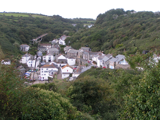
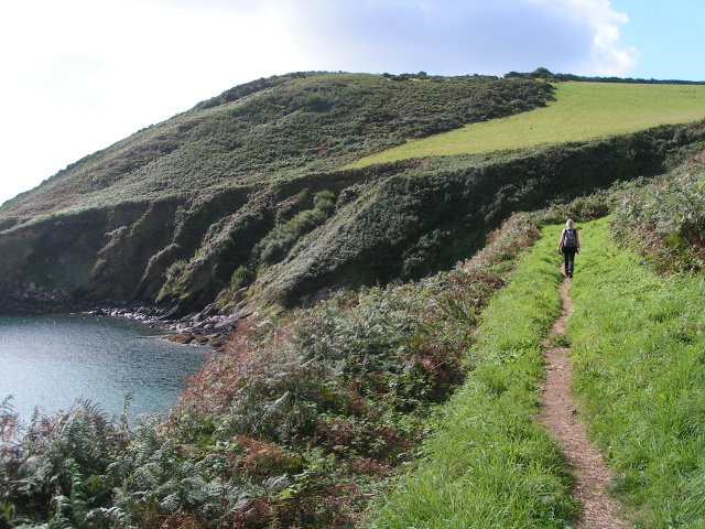
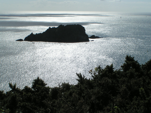
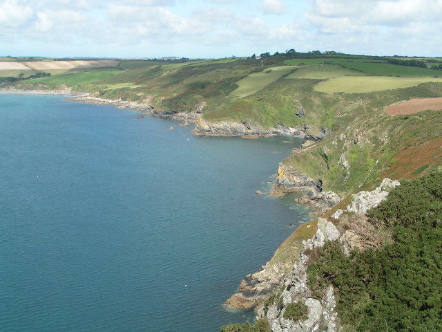
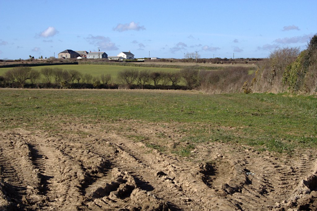
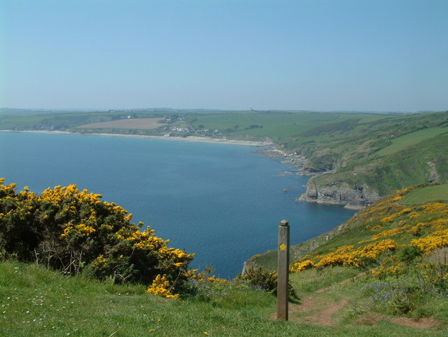
Blouth Point is a prominent headland located on the southern coast of Cornwall, England. Situated near the town of Falmouth, it serves as a defining feature of the picturesque coastline. Rising approximately 100 meters above sea level, the point offers stunning panoramic views of the surrounding area.

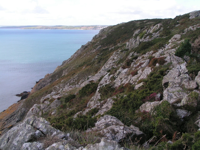
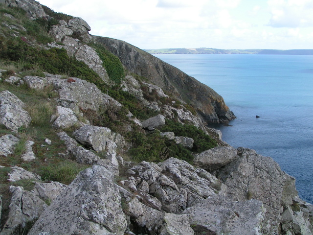
The headland is characterized by its rugged cliffs, which are composed of granite rocks and dotted with small caves and crevices. These cliffs provide a natural habitat for various seabirds, including gulls, cormorants, and fulmars, making it a popular spot for birdwatching enthusiasts.

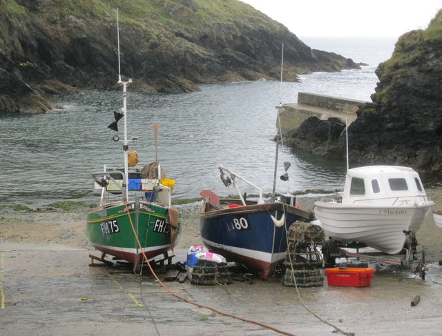
Blouth Point is also known for its diverse marine life. The surrounding waters are home to a wide range of fish species, making it a popular destination for fishing enthusiasts. Additionally, the area is a haven for marine mammals, such as seals and dolphins, which can often be spotted swimming near the point.

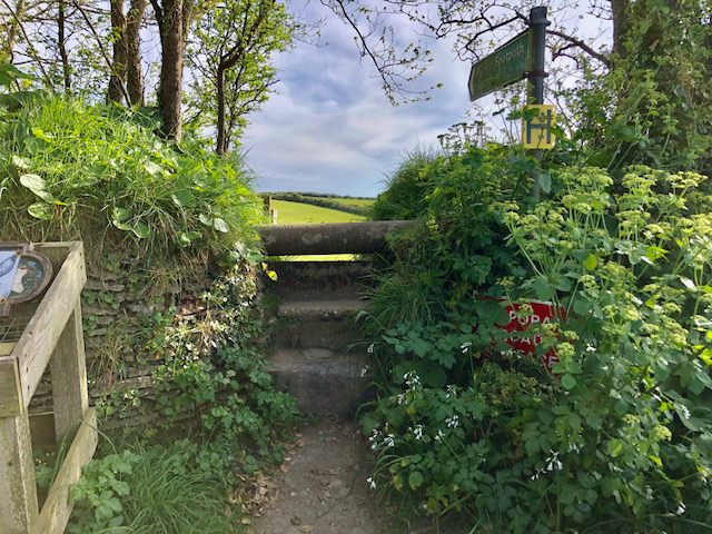
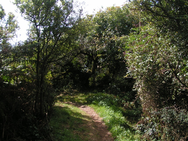
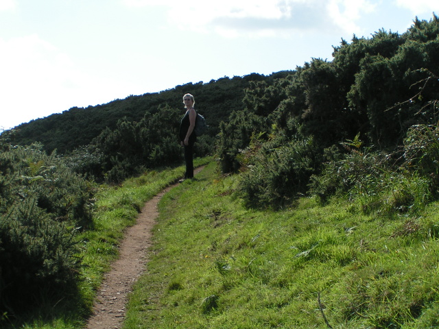
The headland is easily accessible to visitors, with a well-maintained footpath leading to the top. Along the way, visitors can enjoy the abundance of wildflowers and coastal vegetation that line the path. At the summit, a viewpoint offers a breathtaking vista of the coastline, stretching as far as the eye can see.

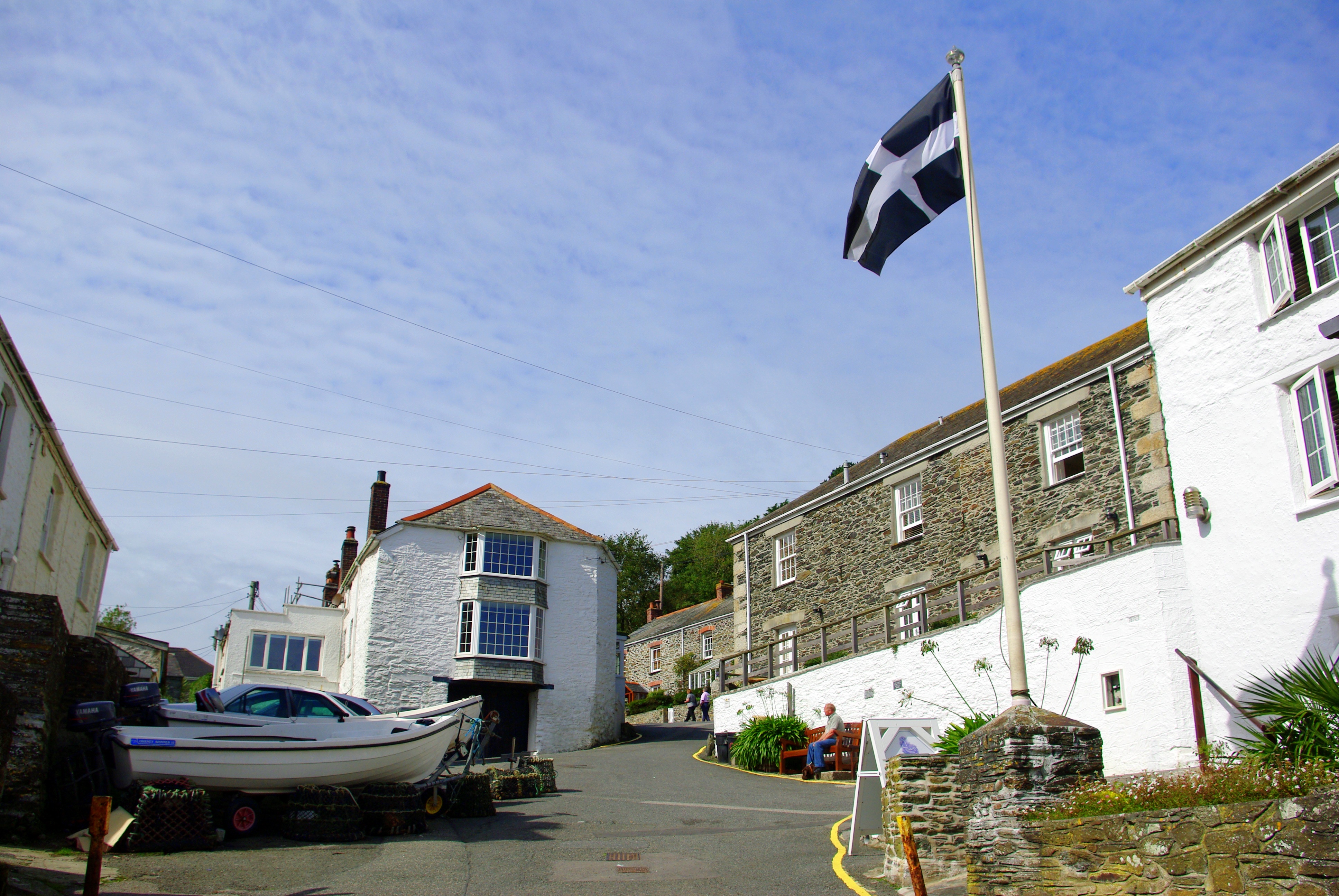
Blouth Point is not only a natural wonder but also steeped in history. It is believed to have been a strategic point during ancient times, serving as a lookout for potential invaders. Today, remnants of old fortifications can still be seen, adding to the area's historical charm.

Overall, Blouth Point is a must-visit destination for nature lovers, history enthusiasts, and anyone seeking to experience the rugged beauty of Cornwall's coastline.

If you have any feedback on the listing, please let us know in the comments section below.
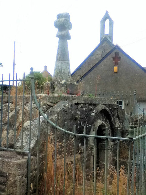
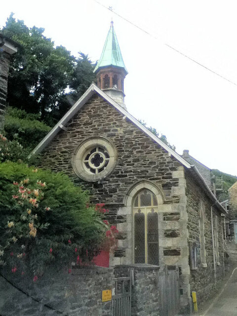
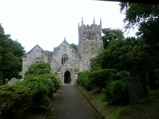
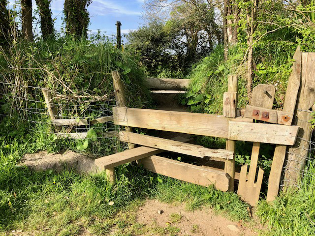
Blouth Point Images

Images are sourced within 2km of 50.205621/-4.9052315 or Grid Reference SW9237. Thanks to Geograph Open Source API. All images are credited.

Holy Well and Cross St Symphorian Church
All Saints United Church of England and Methodist Church
St Symphorian's Church
Stone Stile, Veryan Looking from the field on Cornwall footpath 327/46/1, the view from the road is <a href="https://www.geograph.org.uk/photo/7557793">SW9139 : Stone Stile, Veryan</a>.
Stone Stile, Veryan
Looking from the field on Cornwall footpath 327/46/1, the view from the road is SW9139 : Stone Stile, Veryan.
Stone Stile, Veryan Looking from the road on Cornwall footpath 327/46/1, the view from the field is <a href="https://www.geograph.org.uk/photo/7557792">SW9139 : Stone Stile, Veryan</a>.
Stone Stile, Veryan
Looking from the road on Cornwall footpath 327/46/1, the view from the field is SW9139 : Stone Stile, Veryan.
Portloe
Portloe
Portloe seen from the South West Coast Path
Telephone box in Portloe
Coast path to Portloe
Fields and sea
Fields and sea
The South West Coast Path on a sunny day
On the South West Coast Path heading south
On the South West Coast Path
Coastal gorse bushes and Gull Rock
Looking towards Nare Head
Looking north east from near Nare Head
View looking north from Nare Head
Portloe Harbour Portloe once supported a small drift fleet and a seine fishery, whilst trading ketches landed and loaded goods on the beach. Some fishing continues today, mainly for lobster and crab.
Portloe Harbour
Portloe once supported a small drift fleet and a seine fishery, whilst trading ketches landed and loaded goods on the beach. Some fishing continues today, mainly for lobster and crab.
Show me another place!

Blouth Point is located at Grid Ref: SW9237 (Lat: 50.205621, Lng: -4.9052315)

Unitary Authority: Cornwall

Police Authority: Devon and Cornwall

What 3 Words

///converter.risk.blushed. Near Portscatho, Cornwall

Related Wikis

Trewartha, Cornwall

Trewartha is a hamlet in the civil parish of Veryan on the Roseland Peninsula, Cornwall, England, United Kingdom.Trewartha is also the name of places in...

Portloe

Portloe (Cornish: Porthlogh) is a small village in Cornwall, England, on the Roseland Peninsula, in the civil parish of Veryan. Portloe harbours two full...

Gerrans Bay to Camels Cove

Gerrans Bay to Camels Cove is a coastal Site of Special Scientific Interest (SSSI) in south Cornwall, England, UK, noted for both its biological and geological...

Veryan

Veryan (Cornish: Elerghi) is a coastal civil parish and village on the Roseland Peninsula in Cornwall, England, United Kingdom. The village has been described...

Nearby Amenities

Located within 500m of 50.205621,-4.9052315
Source: PGS
Lat/Long: 50.2026628/-4.9096356
Source: PGS
Lat/Long: 50.2029046/-4.9096807
Source: PGS
Lat/Long: 50.2031847/-4.9097241
Source: PGS
Lat/Long: 50.2035797/-4.9099291
Source: PGS
Lat/Long: 50.2049695/-4.9102695
Source: PGS
Lat/Long: 50.2055802/-4.9091207
Source: PGS
Lat/Long: 50.2058603/-4.9081012
Source: PGS
Lat/Long: 50.2052967/-4.9075848
Source: PGS
Lat/Long: 50.2055892/-4.9070934
Source: PGS
Lat/Long: 50.205278/-4.9064524
Source: PGS
Lat/Long: 50.2050909/-4.9058833
Source: PGS
Lat/Long: 50.2049285/-4.904875
Source: PGS
Lat/Long: 50.2052549/-4.9041621
Source: PGS
Lat/Long: 50.2055336/-4.9038947
Source: PGS
Lat/Long: 50.2063201/-4.9031088
Source: PGS
Lat/Long: 50.2068452/-4.9029312
Source: PGS
Lat/Long: 50.2071527/-4.9026797
Created By: almien_coastlines
Source: PGS
Lat/Long: 50.207834/-4.902333
Created By: almien_coastlines
Source: PGS
Lat/Long: 50.20809/-4.902343
Created By: almien_coastlines
Source: PGS
Lat/Long: 50.209594/-4.9044
Created By: almien_coastlines
Source: PGS
Lat/Long: 50.209857/-4.904011
Barrier: kissing_gate
Lat/Long: 50.2078455/-4.9045836
Barrier: kissing_gate
Lat/Long: 50.2092201/-4.9057406
Barrier: kissing_gate
Lat/Long: 50.2058564/-4.9117673
Kiberick Cove
Place: locality
Source: OS Historic
Lat/Long: 50.2047169/-4.9077776
The data included in this document is from www.openstreetmap.org. The data is made available under ODbL.

Have you been to Blouth Point?

Leave your review of Blouth Point below (or comments, questions and feedback).